Parking
Use the McGurk Meadow Trailhead on Glacier Point Road. A vault toilet and animal-safe food lockers are at the trailhead; vehicle access is seasonal, usually from late May through October or November.
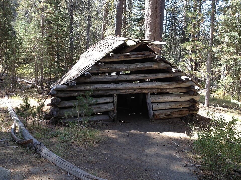
Yosemite National Park, CA
A short meadow walk to wildflowers and a weathered cabin.
Overview
Map & elevation
Plan your hike

“McGurk Meadow Trailhead is coming up, with a choice between a short meadow walk and the hike to Dewey Point.”
Yosemite Tour Guide
Parkwolf is a GPS audio tour guide for Yosemite National Park. As you drive, it chimes in with what’s ahead: hidden gems, upcoming stops, history, geology, and wildlife, right through your car’s speakers.
See the Yosemite audio tourRecorded for this trailhead
McGurk Meadow and Dewey Point“McGurk Meadow Trailhead is coming up, with a choice between a short meadow walk and the hike to Dewey Point.”
Plays as you drive up to this trailhead in the Parkwolf Yosemite Tour Guide.
More stories near here in the app
“We just drove through Yosemite and it made our trip listening to this app as we drove through. Like having a tour guide in the car with you.”


Trail guide
McGurk Meadow Trail is an easy 1.6-mile out-and-back from Glacier Point Road to the meadow and John McGurk’s cabin, then back the same way. Allow about 1 to 1.5 hours. The path drops gently through conifer woods and small clearings; the return climbs about 150 feet. It’s a good choice if you want a little time on foot without committing to a summit hike or a long walk along the rim.
A brook crosses the broad, wet meadow, with wildflowers at their best in early summer; bloom timing shifts with snowmelt. The cabin belonged to John McGurk, a sheepherder. It dates to about 1895 and may have been built by Hugh Davanay; McGurk was forced off the property by the Army in 1897 after a title dispute. The cabin is the clearest photo stop: step back to include a little meadow and the pines around its rough log walls.
Start at McGurk Meadow Trailhead and turn back at the meadow and cabin for this short outing. The path continues farther north toward the Pohono Trail and Dewey Point, but that is a much longer hike. The trailhead has a vault toilet and animal-safe food lockers; no water source is listed at the trailhead or along the route. Glacier Point Road usually opens in late May and closes between October and November, depending on snow. Pets and bicycles aren’t allowed on park hiking trails.
Wildlife
 732 sightingsBlack BearMost seen around 7 PMSighting map
 1,747 sightingsMule DeerMost seen around 6 PMSighting map
 332 sightingsCoyoteMost seen around 7 PMSighting map
 11 sightingsPeregrine FalconMost seen around 8 AMSighting map
 276 sightingsPikaMost seen around 8 AMSighting map
 677 sightingsYellow-bellied MarmotMost seen around 8 AMSighting map
Sighting maps show where each species has been reported across Yosemite. Wildlife moves, so no sighting is guaranteed.
Keep exploring
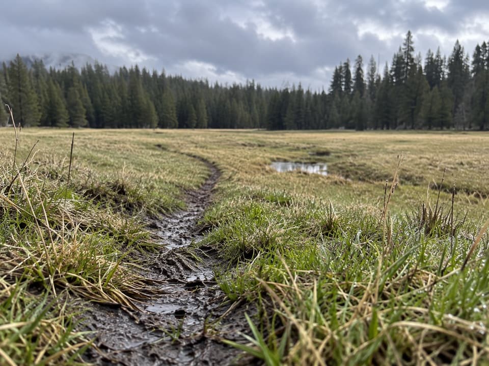 EasyWestfall Meadow Trail2.8 mi · 2 hr · At the trailheadA short forest path reaches a meadow where the tread fades.
 ModerateDewey Point Trail8.2 mi · 4.5 hr · At the trailheadA meadow and cabin site lead to a sweeping valley rim.
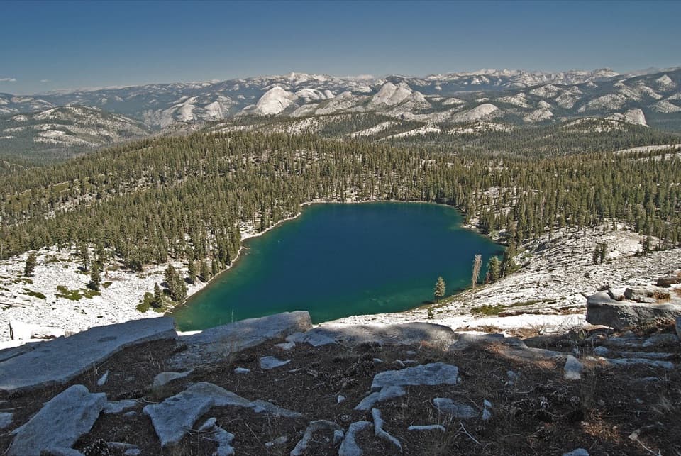 ChallengingOstrander Lake Trail12 mi · 9 hr · 1.4 mi awayA long climb to a granite lake and historic ski hut.
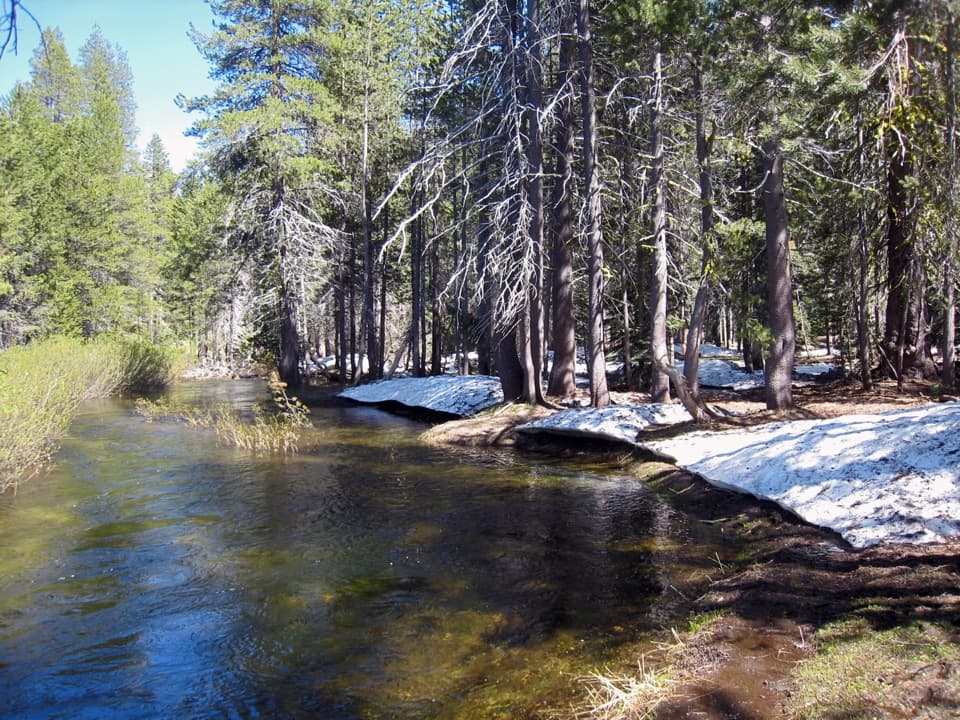 ModerateBridalveil Creek Trail6.6 mi · 4.5 hr · 1.4 mi awayMeadow miles and a creek ford, with little climbing.
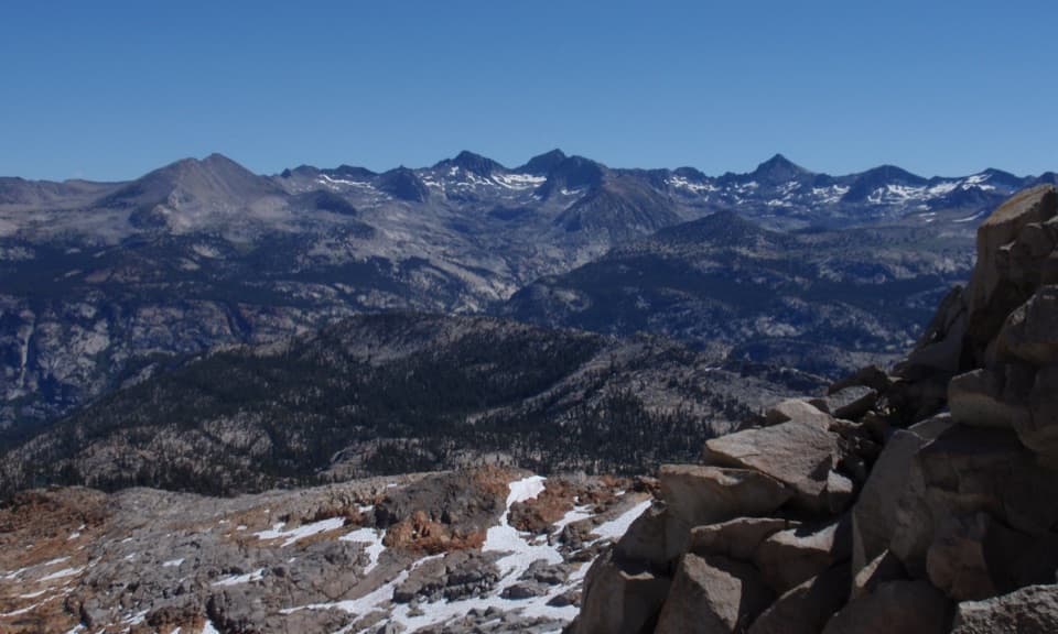 ChallengingRed Peak Pass Loop48.1 mi · 1.7 days · 2.4 mi awayA remote 48-mile loop crosses a high, exposed pass.
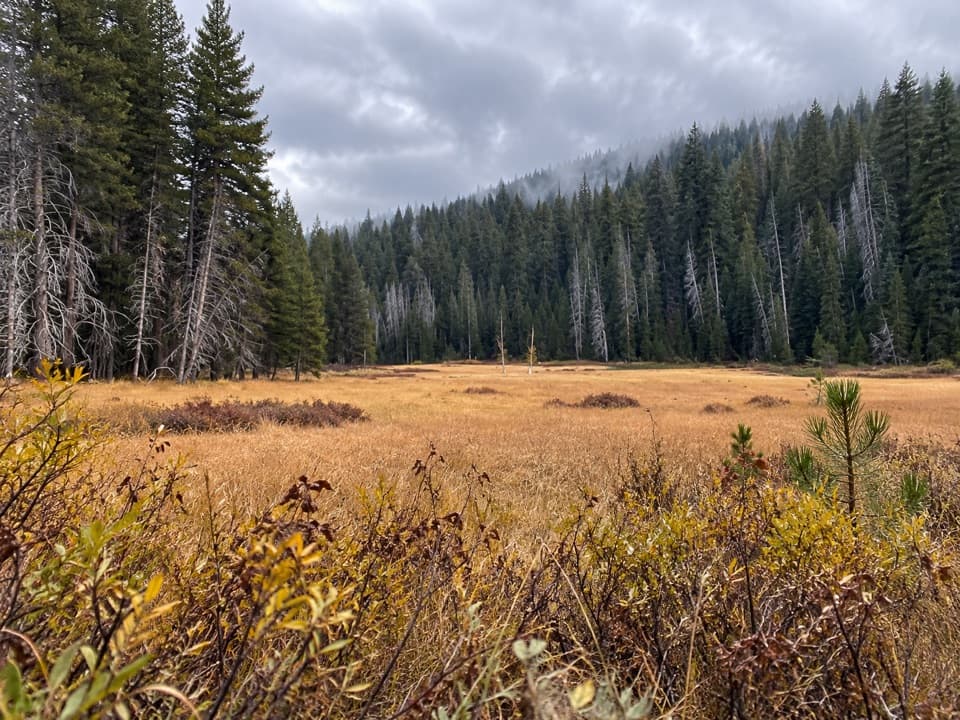 ModerateMono Meadow Trail3 mi · 2.5 hr · 2.4 mi awayA wet meadow walk to an unmarked granite shelf with Sierra views.
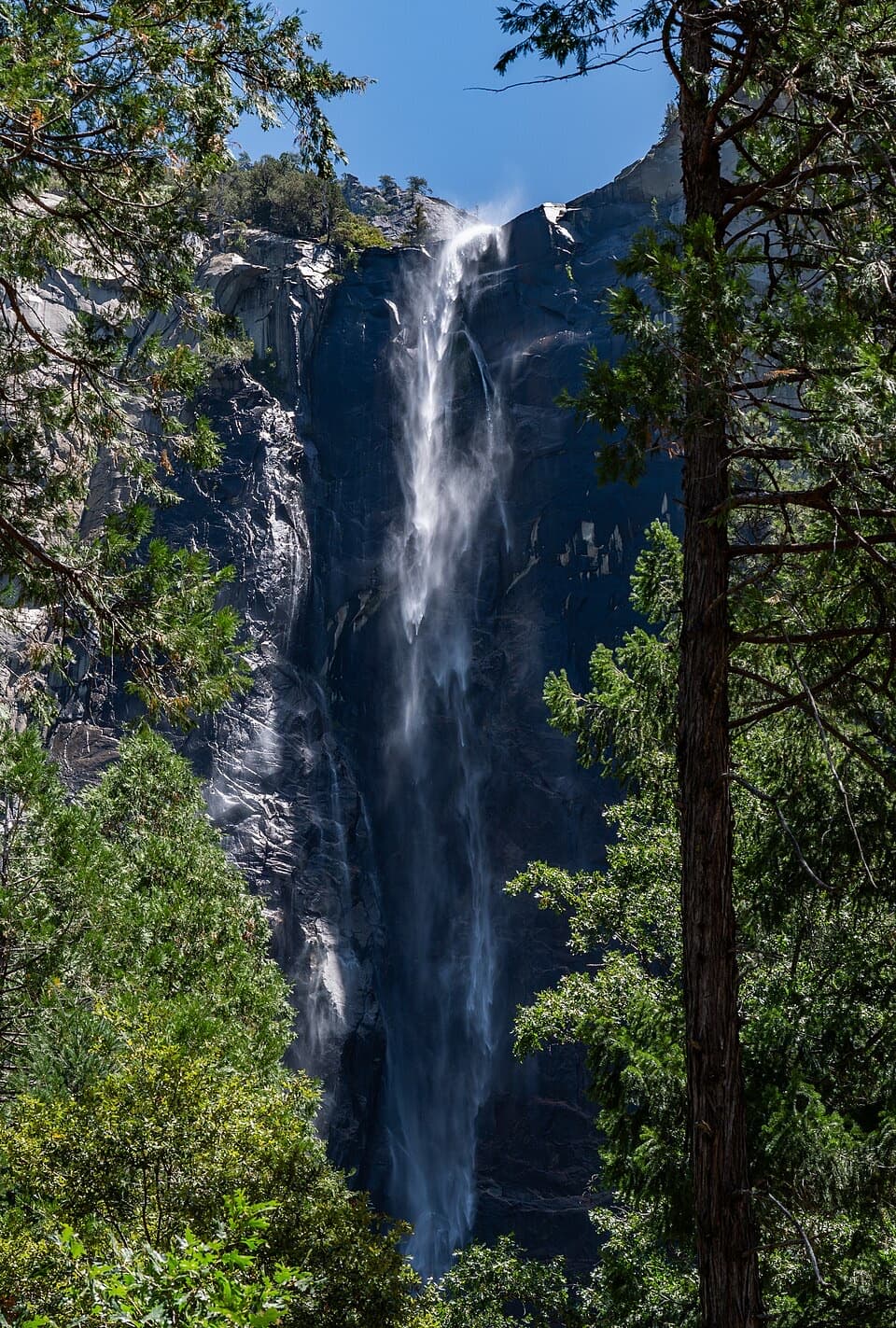 EasyBridalveil Fall Trail0.5 mi · 20 min · 3.4 mi awayA short paved walk to the base of Bridalveil Fall.
 EasyTaft Point and the Fissures Trail2.4 mi · 1.5 hr · 3.7 mi awayCracked granite, a sheer rim, and a valley that drops away.
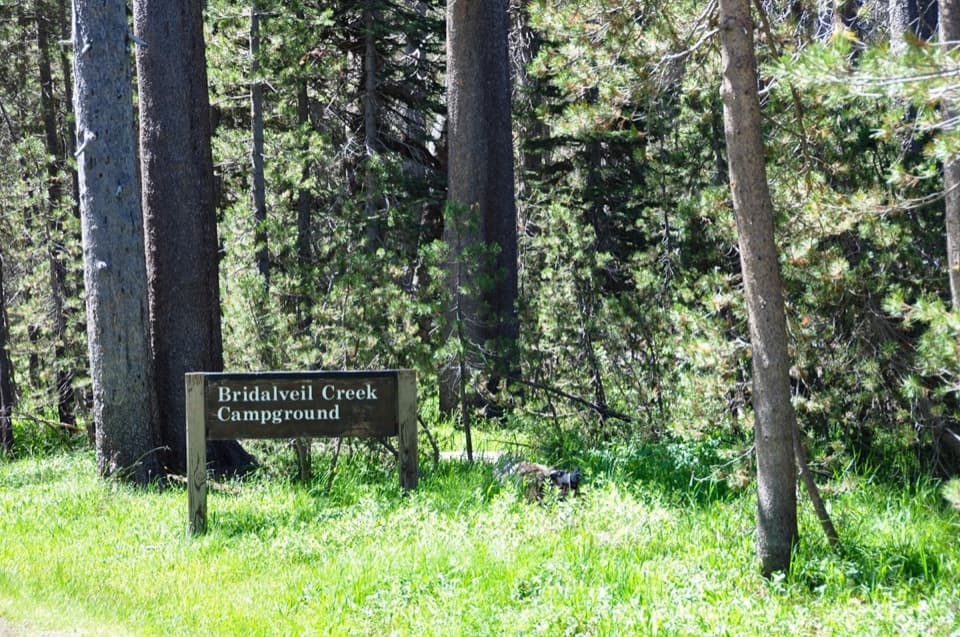 Campground · 0.5 mi awayBridalveil Creek CampgroundA 7,200-foot base for the Glacier Point Road trails.
 Sight · 2.1 mi awayBadger Pass Ski AreaA historic Yosemite ski base for downhill, Nordic, and snowshoe days.Sight · 2.7 mi awayDewey PointEl Capitan anchors a far-reaching view from the granite rim.Sight · 3.2 mi awayTaft PointThe short walk ends at a rim facing El Capitan.
 Sight · 3.4 mi awayBridalveil FallA 620-foot fall up close, with a short paved approach.
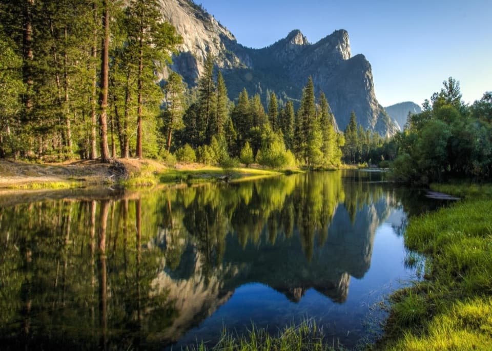 Beach · 3.6 mi awayCathedral BeachA shaded picnic with El Capitan reflected in the Merced.
 Sight · 3.7 mi awayEl Capitan MeadowA 3,000-foot wall, dotted with tiny climbers.
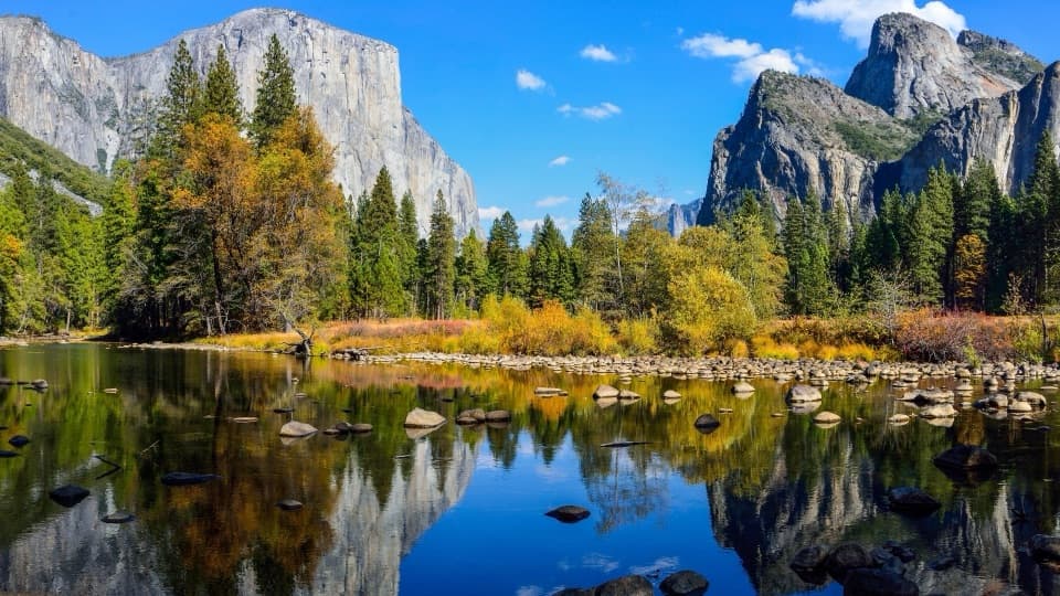 Sight · 3.7 mi awayValley ViewGranite cliffs and Bridalveil Fall framed across the Merced River.
Parkwolf’s Yosemite ranking

The audio tour guide for the drive, plus offline maps, trails, and wildlife heatmaps for when the signal drops.





