
Place · 0 mi away
Easy
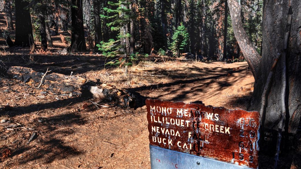
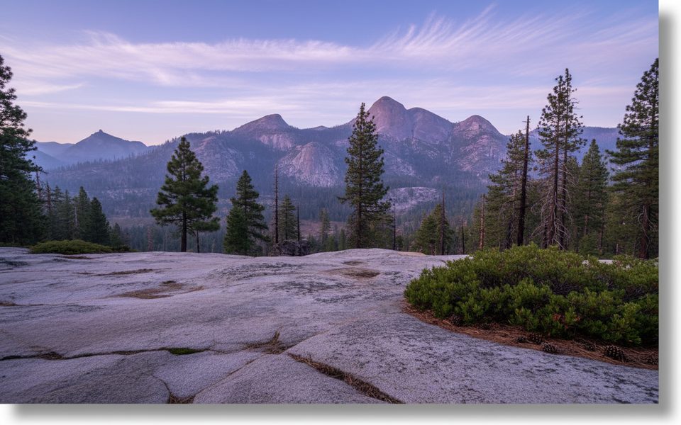
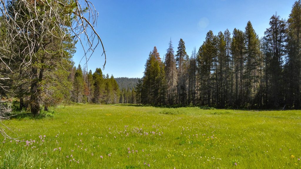
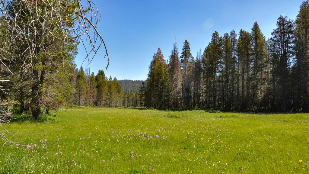
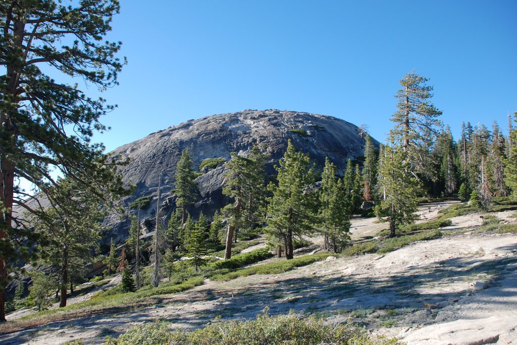
Mono Meadow is a short, quieter detour off Glacier Point Road that drops you into a lush subalpine meadow, then moseys toward a granite shelf with peekaboo views of Mount Starr King, the Clark Range, and even a sliver of Half Dome. Expect a mellow backcountry vibe without the Glacier Point crowds.
It’s about 1.2 miles round trip if you simply tag the meadow and return. Most hikers continue to the unmarked granite overlook for roughly 3.5 miles round trip (out-and-back). The trail starts around 7,300 feet and immediately loses about 300 feet—what goes down must come back up, and that final climb to the car is the hardest part. Plan on 1–3 hours depending on how far you go and how long you linger at the viewpoint. Overall: easy to easy-moderate.
You’ll descend through open forest into Mono Meadow, which can be wet and muddy early season. Beyond the meadow, the trail is mostly gentle, passing through areas reshaped by past fires and alongside polished streambeds with interesting “pockmarks.” Near the overlook, the forest parts just enough for intermittent views toward Starr King and the Clark Range. Note: the viewpoint is unmarked; if you begin hitting switchbacks dropping toward Illilouette Creek, you’ve gone too far.
Early season mud is common, and there’s an unbridged creek crossing en route to the overlook—often doable via logs, but expect wet feet if flows are up. Mosquitoes can be fierce in and around the meadow in summer; long sleeves and repellent help. Occasional blowdowns appear beyond the meadow. Carry and drink plenty of water—dehydration is a leading cause of injuries here.
The trailhead is on the south side of Glacier Point Road, about 10.5 miles east of Chinquapin. There’s a small lot that rarely fills and food-storage lockers at the trailhead. Restrooms: a pit toilet at the Ostrander Lake trailhead (about 1.2 miles west) and flush toilets at Chinquapin (~10.5 miles west). Snacks are available at Glacier Point (~5.5 miles east).
Glacier Point Road typically opens for the season roughly June–October (earlier/later varies); it closes after the first significant snowfall. The meadow is greener earlier in the season, with wildflowers often lingering into July. Overnight parking is prohibited starting October 15. No pets—this route enters wilderness. Day hikes don’t require a permit, but overnight trips do; follow food-storage rules (bear canisters/boxes) for backpacking. This trail is not accessible.
If you’re chasing giant, unobstructed vistas, you’ll get better bang at nearby Glacier Point. But if you want an easy, low-key wander with meadow ambience, wildlife chances, and a taste of Yosemite’s backcountry routes—without shoulder-to-shoulder crowds—Mono Meadow is underrated.
Small lot at the Mono Meadow trailhead on the south side of Glacier Point Road (~10.5 miles east of Chinquapin); rarely fills. Bear-proof food lockers on-site. Pit toilet at Ostrander Lake trailhead 1.2 miles west; flush toilets at Chinquapin.
Initial 300 ft descent means a stout climb back; expect seasonal mud in the meadow, an unbridged creek crossing, mosquitoes, and occasional blowdowns. Glacier Point Road closes after the first significant snowfall; overnight parking is prohibited starting Oct 15. Carry plenty of water and check road/weather (209-372-0200).
Place · 0 mi away
Place · 2.1 mi away
Place · 2.4 mi away
Place · 2.4 mi away
Challenging · 0 mi away
Moderate · 2.4 mi away
Easy · 2.4 mi away
Easy · 2.8 mi away

Parkwolf Tour Guide
