Overview
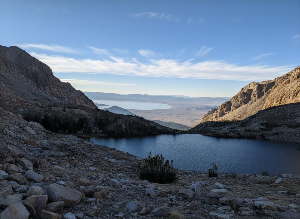
Mount Dana is Yosemite’s second‑highest summit, a burly out‑and‑back that rewards the effort with 360‑degree views from the high crest to the blue expanse of Mono Lake. It’s a demanding hike at high altitude, but if you’re fit and acclimatized, the payoff is massive.
The Hike
- Distance and gain: roughly 5.3–7.0 miles round trip with about 3,100 feet of elevation gain. Expect 4.5–6 hours depending on fitness and acclimatization.
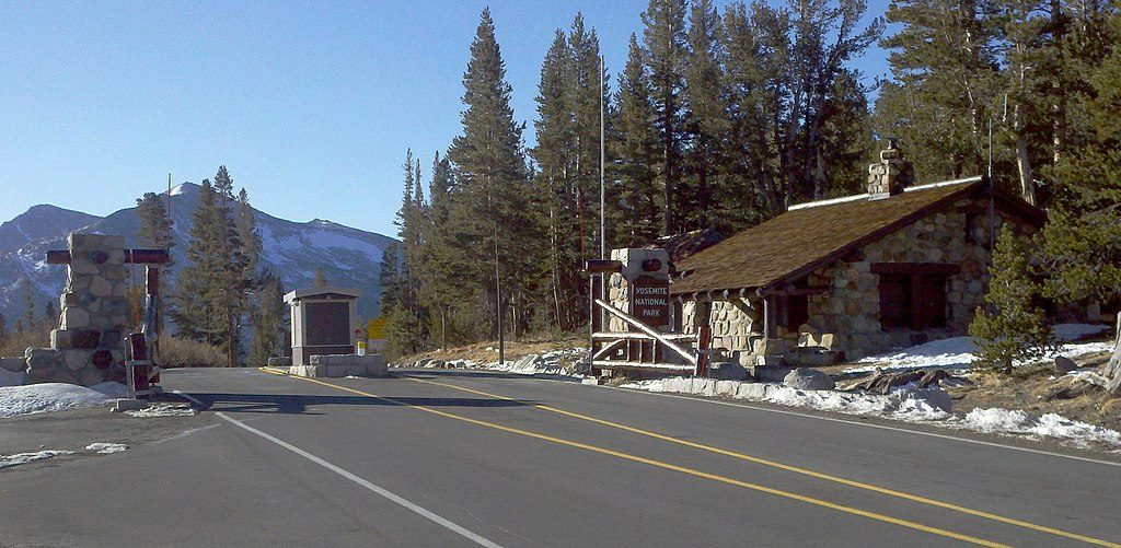
- Start: The use‑trail begins just inside the park’s east entrance at Tioga Pass. Park in the small lot by the entrance, cross the road, and pick up the well‑worn path.
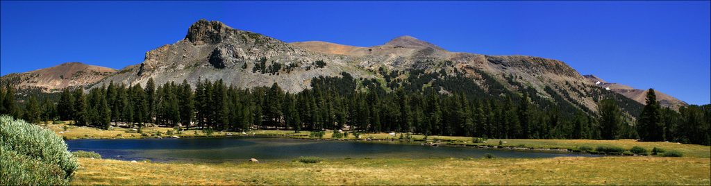
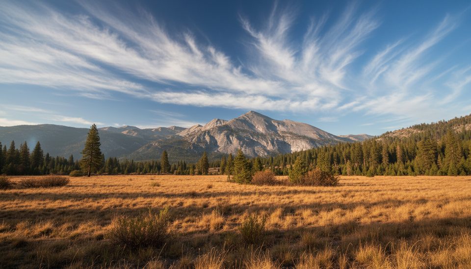
- Route: The first half‑mile cruises through meadows and small ponds. Shade ends quickly as you climb steadily above treeline to a broad bench where the summit comes into view. Higher up, the path fades into boulders and rubble—follow cairns and occasional paint dots. The final push gains about 1,000 feet in under three‑quarters of a mile on steep, loose rock.
- Alternate: Experienced navigators sometimes approach via the Mono Pass Trail across Glacier Canyon to the Dana Plateau, then up to the summit. It’s cairned but less straightforward.
What You’ll See
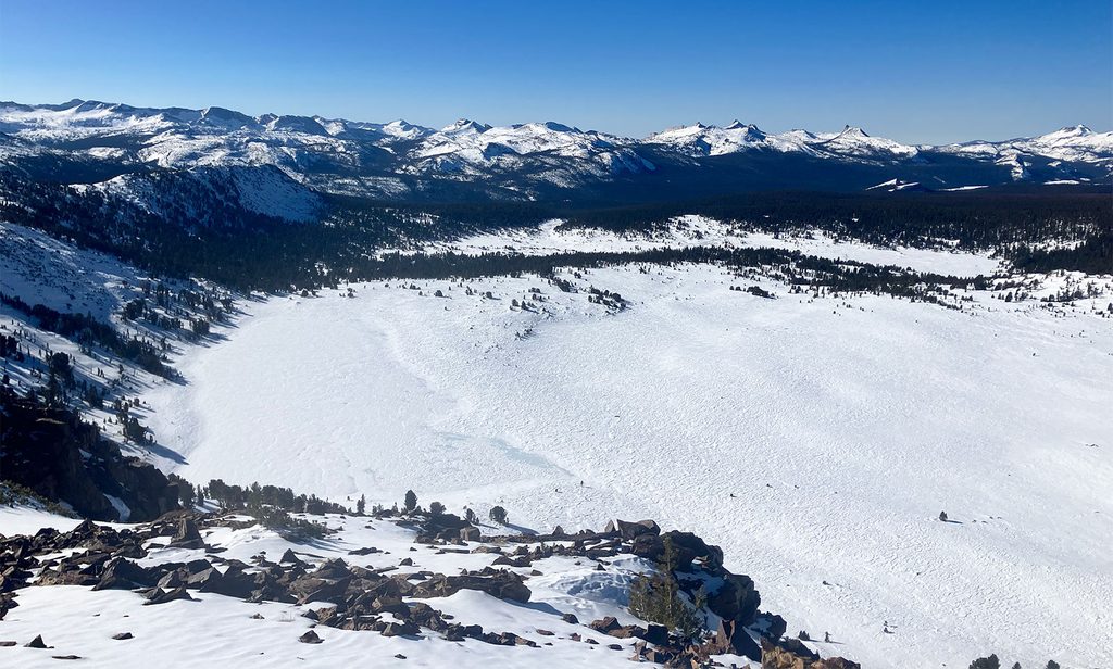
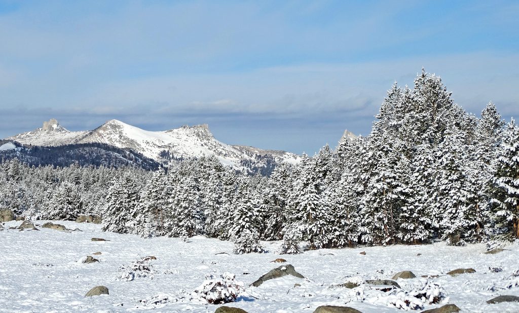
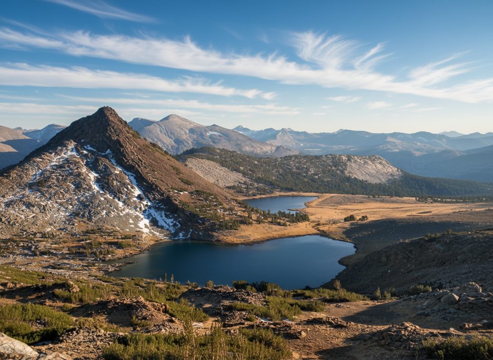
From the summit, gaze west over Yosemite’s high country and east to the shimmering “inland sea” of Mono Lake and the US‑395 corridor. On a clear day you can pick out landmarks like Lembert Dome and Unicorn Peak, plus a necklace of high alpine lakes.
Geology & Wildlife
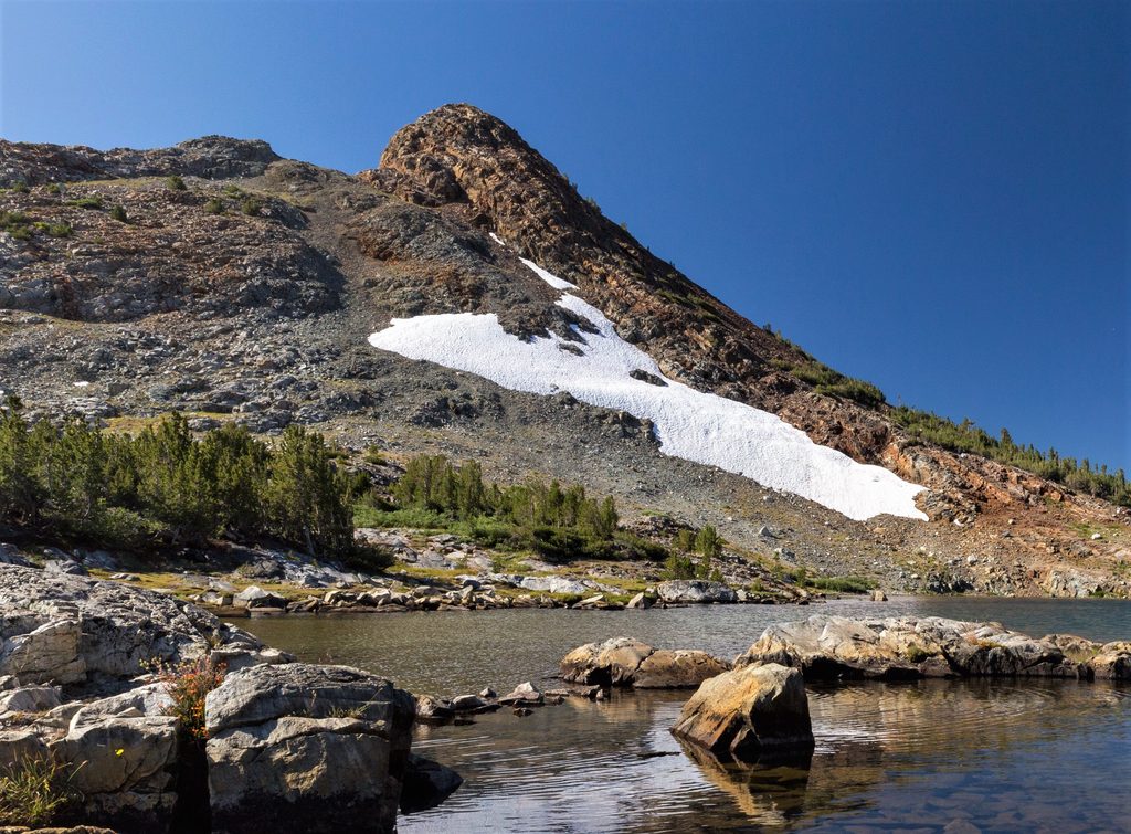
Dana’s reddish slopes are metamorphic—ancient metavolcanic rocks uplifted and sculpted over time. The small Dana Glacier clings to the mountain’s northern face and continues to recede. Above treeline, life hangs tough: lichens, hardy alpine blooms like sky pilot, and skittering insects. Keep your eyes (and snacks) secure around curious marmots; pikas sometimes squeak from rock piles.
Planning & Safety
- Difficulty: Hard. It’s steep, rocky, and entirely above 10,000 feet after the first bit.
- Altitude: The trailhead sits near 9,950 feet and tops out at 13,061. Spend a night or two higher up beforehand if you can, and pace conservatively—turn around if symptoms of altitude sickness appear.
- Exposure and weather: There’s virtually no shade. Start early for cooler temps and to avoid common afternoon thunderstorms. It can be windy and surprisingly cold on top—bring layers and a wind shell.
- Water and gear: No reliable water on the route; carry what you need (2–3+ liters per person). Trekking poles shine on the loose upper slopes. Sturdy, grippy footwear helps. Download offline maps—cell service is spotty to none.
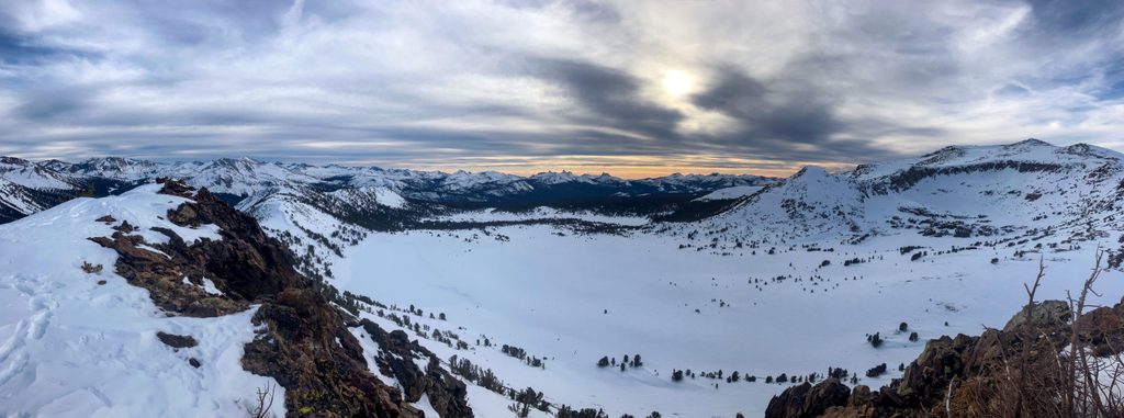
- Logistics: Restrooms are at the Tioga Pass entrance parking area; don’t count on potable water there. Parking is limited and fills on busy days. Practice Leave No Trace (use the toilet beforehand or pack out waste). Dogs aren’t allowed on this trail. A park entrance fee applies. Tioga Road access is essential and typically closes for snow from about November into late spring—check road status before you go.
Best Time to Visit
June through October is the usual window, with lingering snow possible early season. Aim for an early‑morning start any day of the week to snag parking, beat the heat and wind, and sidestep afternoon build‑ups. For photography, morning light rakes the high country and lights up Mono Lake; midday is harsh and exposed.