
Place · 0 mi away
Moderate
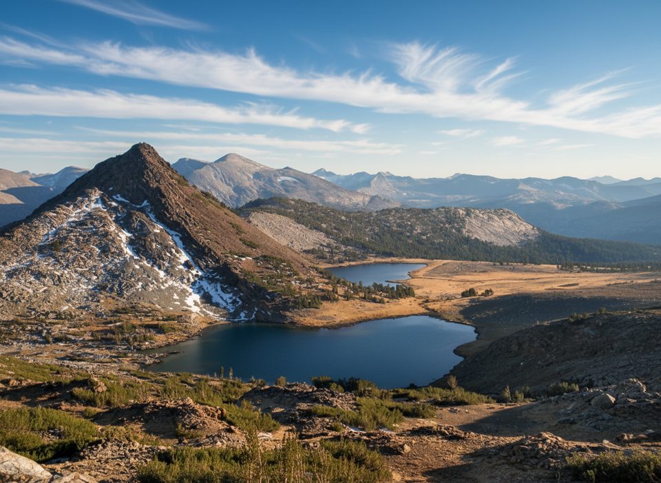
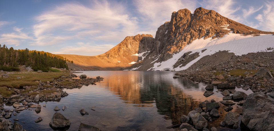
If you want fast access to big‑sky alpine scenery without an all‑day slog, this is your Tioga Pass special. From a very high trailhead near 9,950 feet, you’ll crest a pass, drop into the stark, treeless Gaylor Lakes basin, and—if you’re game—wander cross‑country to the less‑visited Granite Lakes. Figure about 4.3 miles total (round trip) with roughly 900–950 feet of gain, depending on exactly how much you explore.
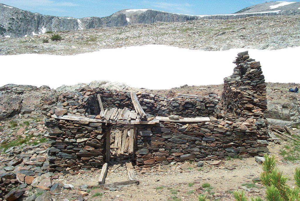
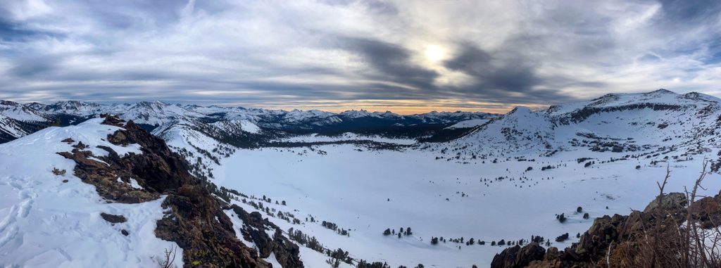
The work hits early: a steep 0.5–0.6 mile climb to a ridge with sweeping views over Dana Meadows and the Tioga Pass area. From there, descend into the open granite basin to Middle and Upper Gaylor Lakes. Above the upper lake sits the historic Great Sierra Mine site—weathered structures and grand, wind‑scrubbed vistas. For the Granite Lakes add‑on, leave the maintained path and travel cross‑country across open slabs and tundra to Upper and Lower Granite Lakes. Navigation is straightforward in clear weather, but there’s no maintained trail—keep track of your line back to Middle Gaylor and the pass.
This is classic high‑country walking: big skies, stark granite, and mirror‑calm tarns when the wind drops. The basin has a beautifully “denuded, prehistoric” feel, with five Gaylor Lakes tucked among rock and meadow. The mine ruins add a human‑history twist and even bigger views. Expect fewer people than Yosemite Valley standards, but weekends still see company; the open landscape lets hikers spread out.
Call it moderate with a caveat: the altitude and the first punchy climb can wallop unacclimated hikers. After the pass it’s mostly gentle. The Granite Lakes extension is off‑trail—simple terrain but requires basic navigation and careful footwork on granite slabs. Trekking poles help both on the initial climb and on the descent back to the lakes.
Hike this when Tioga Road is open—typically June through October. Early summer can hold patchy snow near the upper lakes; mid‑summer brings mosquitoes that can be fierce around water. Start early for cooler temps, calmer winds, fewer people, and softer light; afternoons often bring gusts and fast‑moving storms. Weekdays are noticeably quieter.
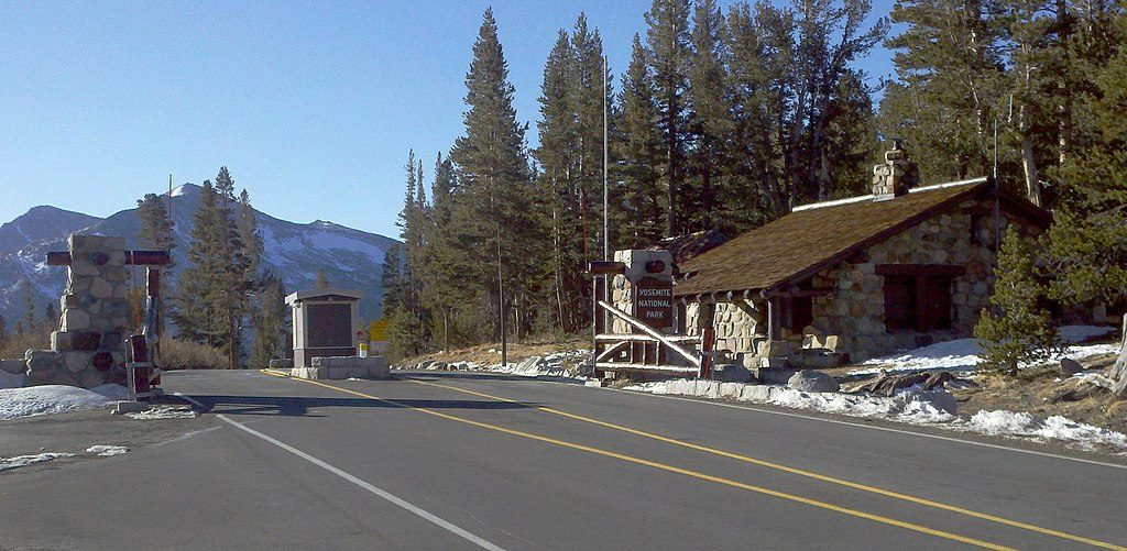
Trailhead parking is just inside the east entrance at Tioga Pass, with a small lot, bathrooms, and food‑storage lockers; overflow parking is across the road in Dana Meadows. Snacks and simple meals are available west in Tuolumne Meadows or just east at Tioga Pass Resort. No permit is needed for day hiking here. Overnight trips in Yosemite’s wilderness require a wilderness permit.
Small lot immediately inside Tioga Pass east entrance with bathrooms and lockers; overflow across the road in Dana Meadows.
High altitude and exposure; steep initial climb; intense mosquitoes in summer; fast‑moving afternoon storms; Granite Lakes are off‑trail—bring navigation and tread on durable surfaces.
Place · 0 mi away
Place · 0.6 mi away
Place · 1 mi away
Place · 1.4 mi away
Moderate · 0 mi away
Challenging · 0.1 mi away
Moderate · 1.3 mi away
Moderate · 1.3 mi away

Parkwolf Tour Guide
