Parking
Use the signed Mono Pass Trailhead lot on the south side of Tioga Road at Dana Meadows, about a mile west of Tioga Pass. The small lot has a vault toilet and bear-safe food locker.

Yosemite National Park, CA
Wet meadows give way to a pass with Mono Lake views.
Overview
Map & elevation
Plan your hike
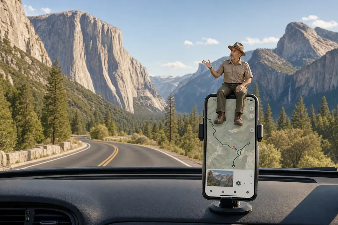
“Mono Pass Trailhead is coming up, for a high-country walk from wet meadows to the drier Sierra crest. Allow five to seven hours for the eight-mile round trip, with altitude adding effort above ten thousand feet.”
Yosemite Tour Guide
Parkwolf is a GPS audio tour guide for Yosemite National Park. As you drive, it chimes in with what’s ahead: hidden gems, upcoming stops, history, geology, and wildlife, right through your car’s speakers.
See the Yosemite audio tourRecorded for this trailhead
Mono Pass“Mono Pass Trailhead is coming up, for a high-country walk from wet meadows to the drier Sierra crest. Allow five to seven hours for the eight-mile round trip, with altitude adding effort above ten thousand feet.”
Plays as you drive up to this trailhead in the Parkwolf Yosemite Tour Guide.
More stories near here in the app
“We just drove through Yosemite and it made our trip listening to this app as we drove through. Like having a tour guide in the car with you.”


Trail guide
Mono Pass Trail is an 8-mile out-and-back from the signed Dana Meadows trailhead on Tioga Road to the Sierra crest. The climb is about 1,000 feet, but the trail starts near 9,700 feet and reaches roughly 10,600 feet, so give yourself time to adjust to the altitude. Allow 5 to 7 hours. The route rises gently at first, then climbs more steeply after the Spillway Lake junction.
The mapped route turns around at Mono Pass. For the broad view, continue about a quarter mile farther toward a shelf above Upper Sardine Lake; that adds roughly half a mile round trip. From there you can look over Bloody Canyon to Mono Lake.
Two marked right forks can send you onto other hikes. At about two miles, the right fork leads to Spillway Lake; stay left for Mono Pass. Near the pass, another right fork leads toward Parker Pass. Keep left again. The trail’s full distance is for the Dana Meadows start, not the separate approaches from Tioga Pass or Bloody Canyon.
The lower trail winds gradually through lodgepole pines and wet meadows, with streams crossing the route. Red mountain heather blooms beside the trail in mid-summer. After the Spillway Lake junction, the grade steepens as you climb to the pass. Several stream crossings are unbridged; early-season runoff can make them cold, high, and swift, and early summer can be muddy. Stay on the tread through puddles to protect the fragile meadow plants.
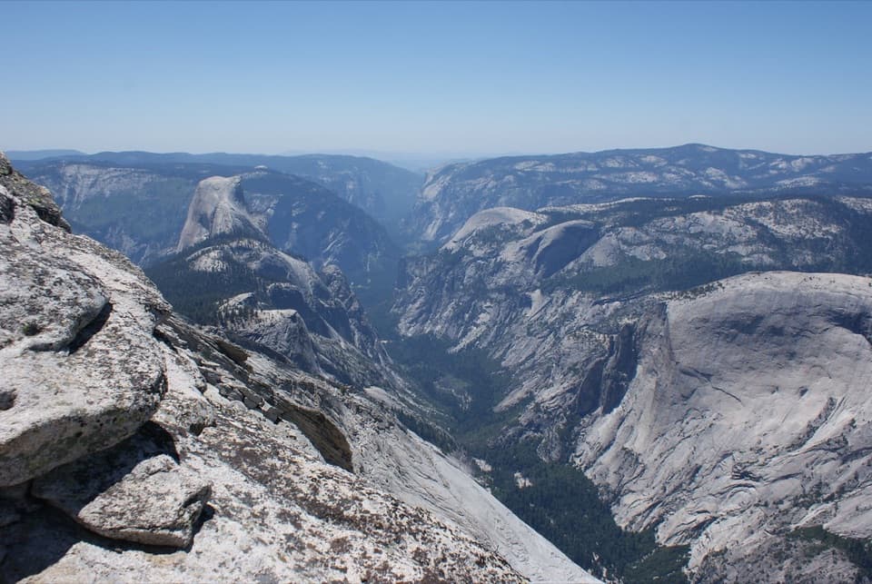
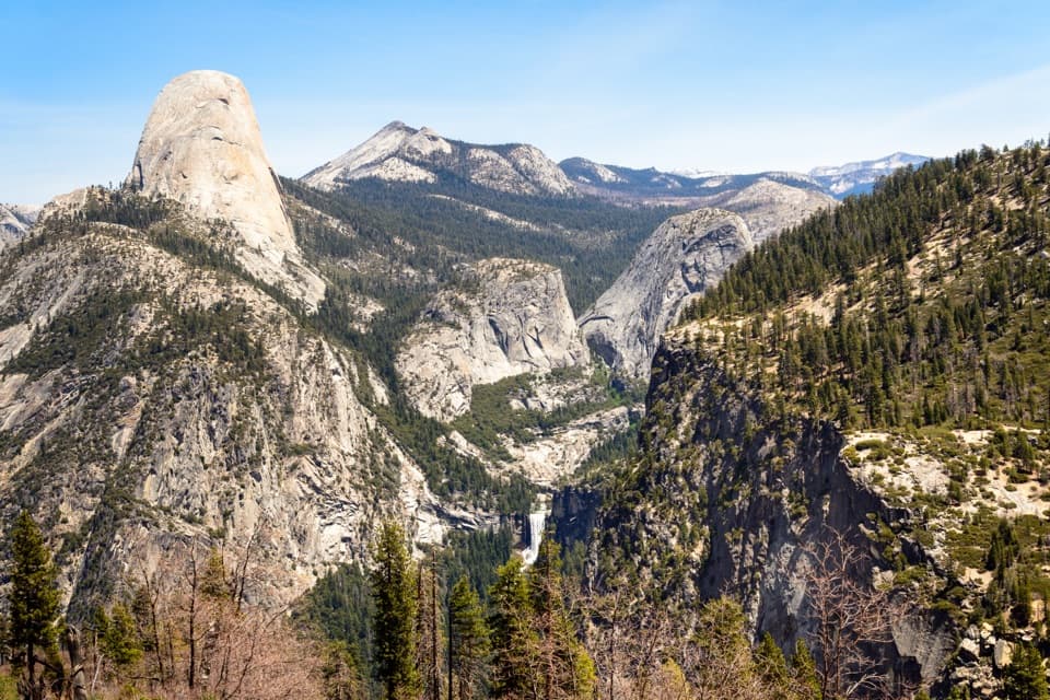
At the crest, the scenery changes quickly. The west side is greener, with meadows and water; beyond the pass, Bloody Canyon is rockier and drier, opening toward Mono Valley. The shelf above Upper Sardine Lake is the best place for the full view, with the lake below and Mono Lake in the distance. Keep some foreground rock in the frame to show the shift from the gentle western slope to the stark eastern side.
This was a trans-Sierra route long before the modern road. The descent through Bloody Canyon was rough enough to injure pack stock, which is where the canyon’s name comes from. The pass also marks the change between the wetter western slope and the much drier Mono Basin.
The signed Mono Pass Trailhead is on the south side of Tioga Road at Dana Meadows, about a mile west of Tioga Pass. The small lot has a vault toilet and a bear-safe food locker. Bring food and water for the day; there are no services on the trail. Dogs and bicycles are not allowed on Yosemite hiking trails. Tioga Road is usually open from late May or early June into October or November, but snow can close it early, so check current road conditions before setting out.
Wildlife
 732 sightingsBlack BearMost seen around 7 PMSighting map
 1,747 sightingsMule DeerMost seen around 6 PMSighting map
 332 sightingsCoyoteMost seen around 7 PMSighting map
 11 sightingsPeregrine FalconMost seen around 8 AMSighting map
 276 sightingsPikaMost seen around 8 AMSighting map
 677 sightingsYellow-bellied MarmotMost seen around 8 AMSighting map
Sighting maps show where each species has been reported across Yosemite. Wildlife moves, so no sighting is guaranteed.
Keep exploring
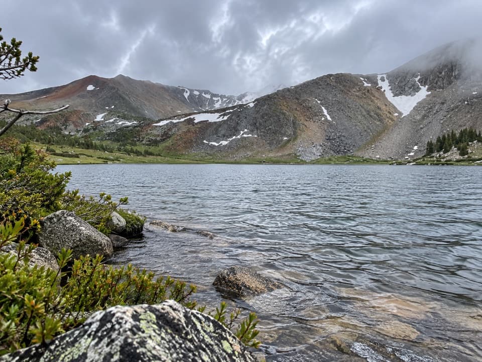 ModerateSpillway Lake Trail8 mi · 5 hr · At the trailheadFour miles each way to a high-country lake past wet meadows.
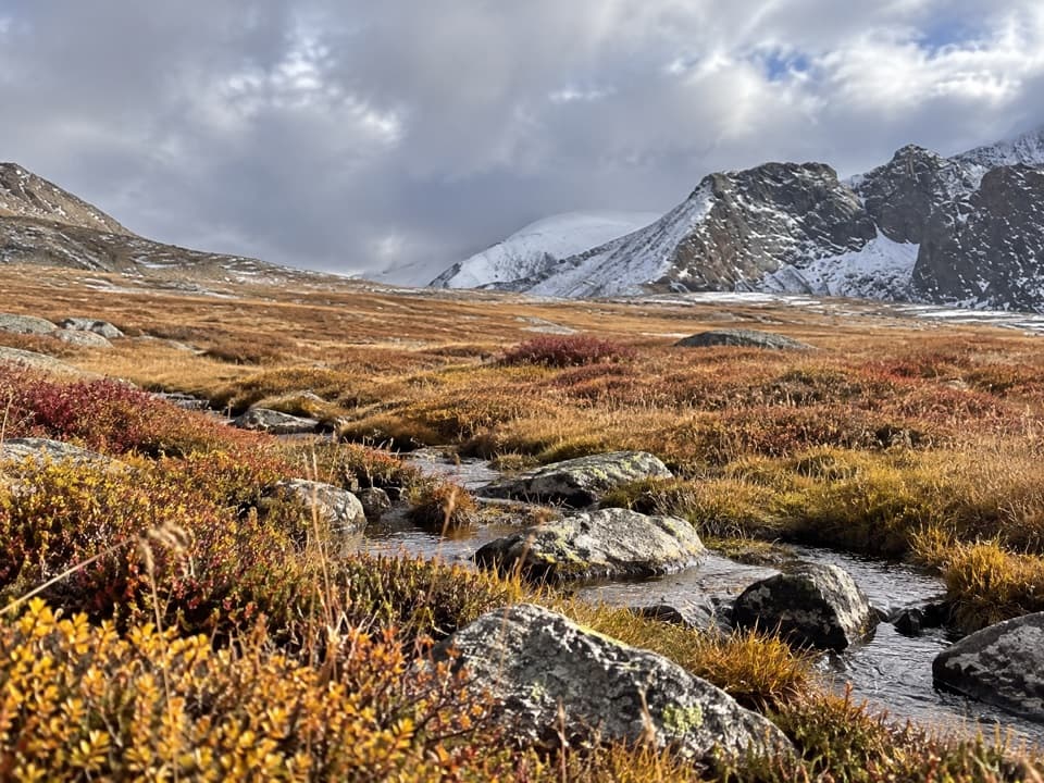 ChallengingParker Pass Trail10.5 mi · 8 hr · At the trailheadA long climb to a high Sierra pass above Dana Meadows.
 ModerateGaylor Lakes Trail3.6 mi · 3 hr · 1.4 mi awayA steep pass opens onto the Gaylor Lakes basin.
 ChallengingMount Dana Trail5.4 mi · 6 hr · 1.4 mi awayA steep summit push with Mono Lake, Dana Lake, and Sierra views.
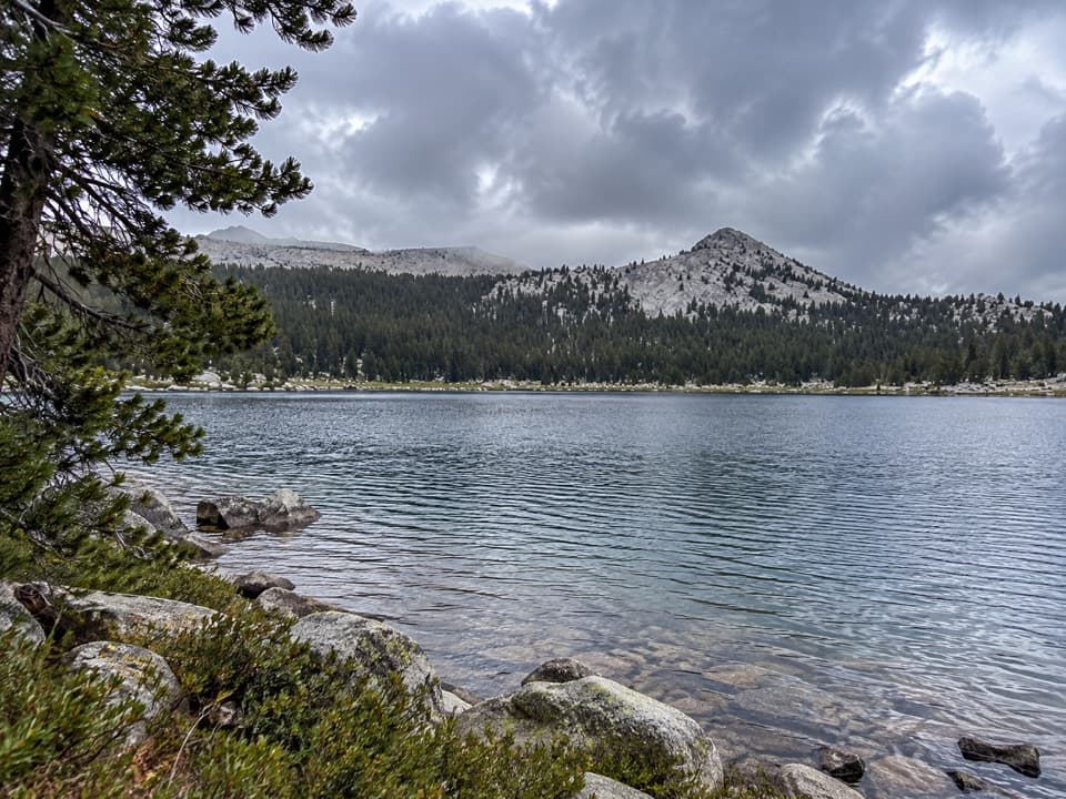 ModerateLower Gaylor Lake Trail4.7 mi · 3 hr · 2.3 mi awayA high-country lake with a faint final approach.
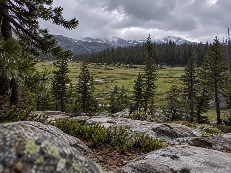 ChallengingVogelsang to Cathedral Loop34.4 mi · 18 hr · 3.7 mi awayA high-country loop linking three of Yosemite’s High Sierra Camps.
 ModerateLyell Canyon Trail11.4 mi · 6 hr · 4.1 mi awayA long walk among meadows, river crossings, and open high country.
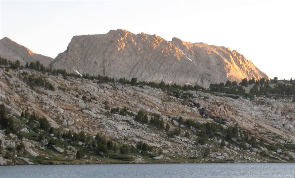 ChallengingIreland and Evelyn Lakes Loop22.2 mi · 12 hr · 4.3 mi awayTwo alpine lakes reward a long loop through a river meadow.
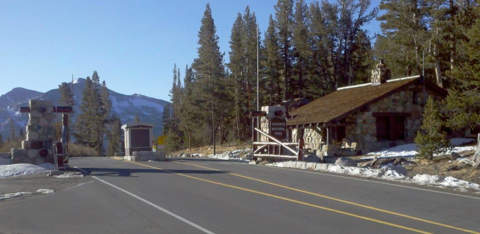 Entrance station · 1.4 mi awayTioga Pass EntranceThe eastern gateway sits 9,945 feet up on the Sierra crest.
 Lodging · 4 mi awayTuolumne Meadows LodgeCanvas cabins beside the river, with trails on your doorstep.
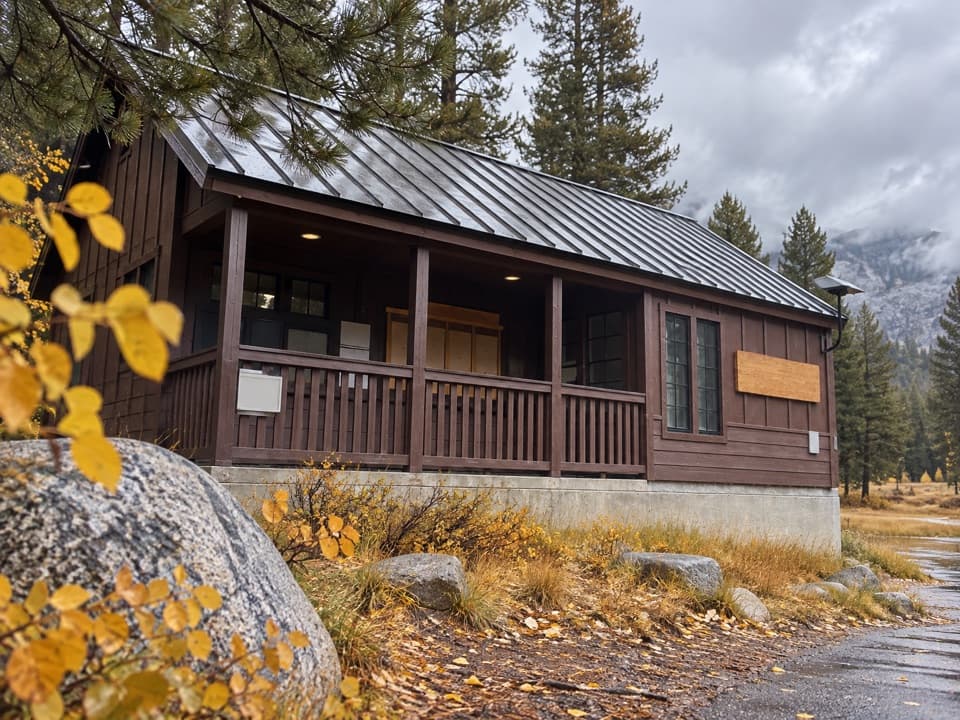 Ranger station · 4.6 mi awayTuolumne Meadows Wilderness CenterTalk over your route and get a backcountry permit.
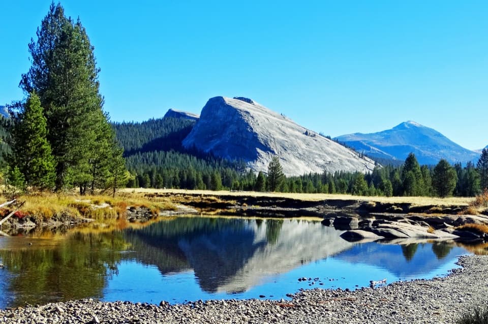 Sight · 4.7 mi awayLembert DomeA steep granite climb earns a wide-open Tuolumne panorama.
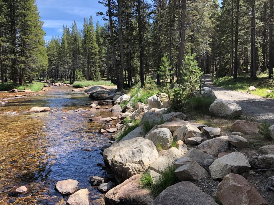 Campground · 5.1 mi awayTuolumne Meadows CampgroundA high-country base for Tuolumne's hikes, lakes, and river.
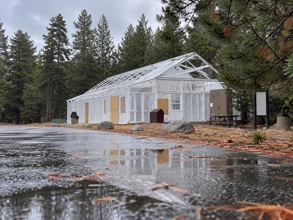 Food · 5.3 mi awayTuolumne Meadows Store and GrillLunch and trail basics before the high-country miles.
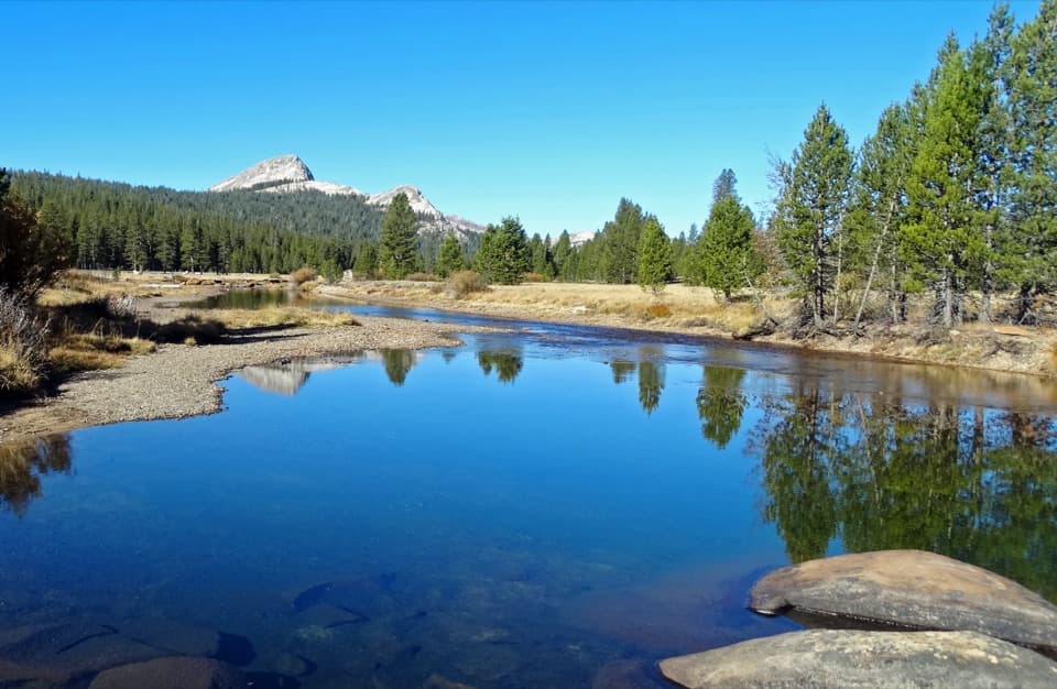 Sight · 5.5 mi awayTuolumne MeadowsA high-country meadow with river bends and granite domes.
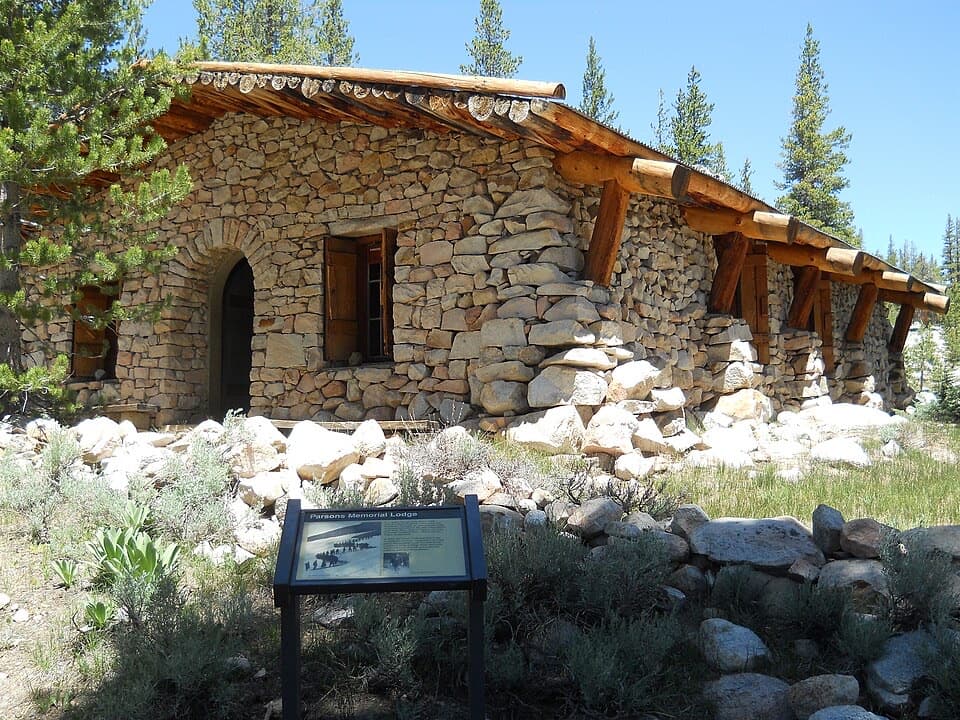 Sight · 5.8 mi awayParsons Memorial Lodge and Soda SpringsA short walk joins a 1915 lodge with bubbling meadow springs.
Parkwolf’s Yosemite ranking

The audio tour guide for the drive, plus offline maps, trails, and wildlife heatmaps for when the signal drops.