
Place · 0.4 mi away
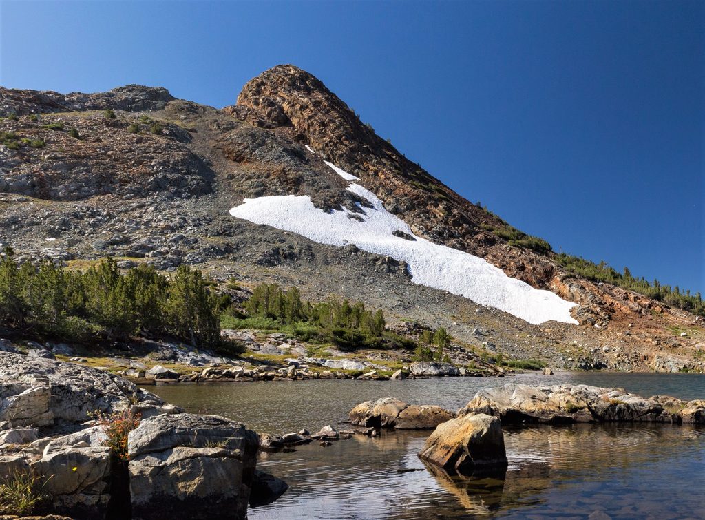
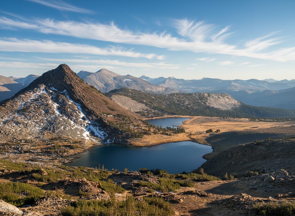
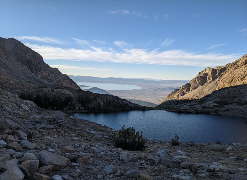
Upper Gaylor Lake is a compact dose of Yosemite high country: open, wind-swept granite, glassy alpine water, and long views in every direction. It sits in a glacial basin above treeline just off Tioga Road, so you get big scenery without committing to an all‑day trek. Expect fewer crowds than the Valley and an atmosphere that feels almost prehistoric.
From the trailhead near Tioga Pass, the first half‑mile climbs sharply—nearly 600 feet—at ~10,000 feet. Catch your breath on the pass, then descend to Middle Gaylor Lake. A mellow path follows a creek up to Upper Gaylor. Figure roughly 3 miles roundtrip to Upper Gaylor, more if you wander around the basin.
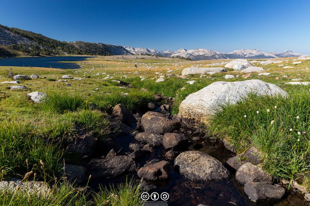
From the ridge you’ll glance back across Dana Meadows toward big Sierra names, then drop into a treeless basin dotted with lakes. Summer often brings alpine wildflowers, and the open terrain keeps the views wide the whole way. The approach between Middle and Upper Gaylor traces a small stream, adding to the charm.
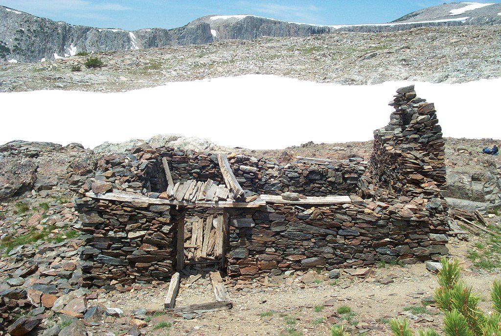
If you’ve got gas in the tank, continue above Upper Gaylor to the 1870s Great Sierra Mine area. The ruins are atmospheric and the panoramas over the basin, Tioga Lake, and beyond are superb.
This is true high country: thin air, strong sun, and frequent wind. Thunderstorms can build quickly on summer afternoons, and there’s little to no shelter in the basin. Mosquitoes can spike in July–August, especially around the lakes—come prepared.
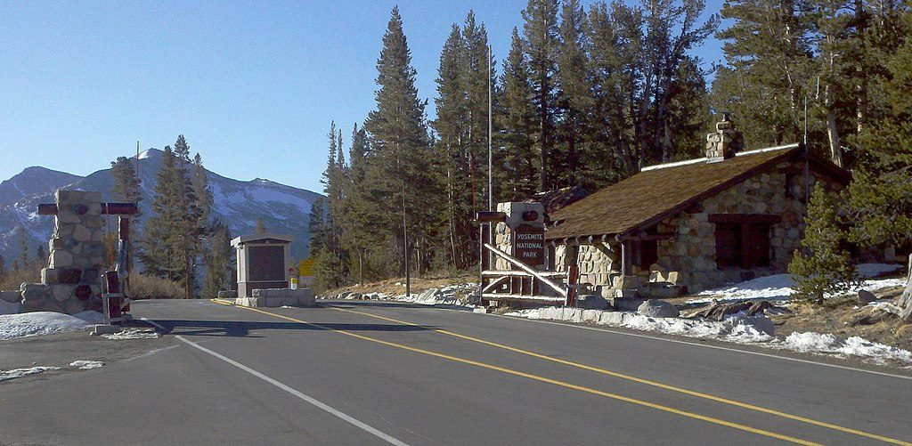
There are no amenities at Upper Gaylor Lake itself—no water, tables, or trash cans. Pack in/pack out and treat any natural water before drinking. Basic restrooms are at the trailhead by the Tioga Pass entrance. This area is day‑use only; no overnight camping is allowed in the Gaylor Lakes basin.
Go when Tioga Road is open (typically summer to early fall). Mornings or late afternoons bring nicer light, cooler temps, and often calmer winds. Weekdays are typically quieter. Early summer can still hold snow patches; mid‑summer brings the best flowers—and sometimes the worst bugs.
Place · 0.4 mi away
Place · 0.7 mi away
Place · 1 mi away
Place · 1.4 mi away
Challenging · 0.9 mi away
Moderate · 1 mi away
Moderate · 1 mi away
Moderate · 2.2 mi away

Parkwolf Tour Guide
