Parking
Use the small, unmarked pullout on the north side of Tioga Road about 3 miles east of Tuolumne Meadows. It fits about two cars; look for a low hiker marker parallel to the road rather than a sign facing drivers.
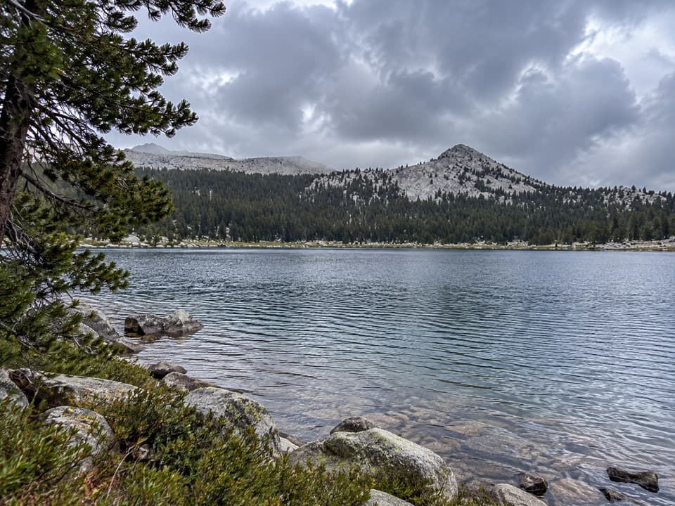
Yosemite National Park, CA
A high-country lake with a faint final approach.
Overview
Map & elevation
Plan your hike
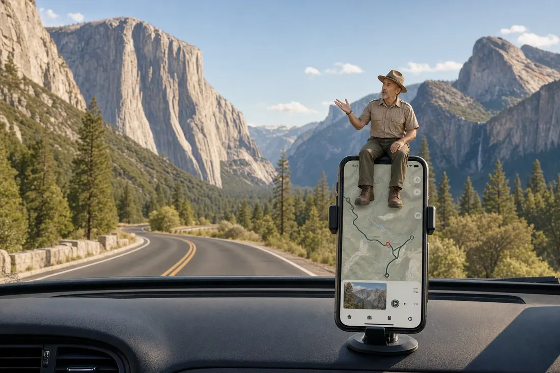
“You’re coming up on the small Tioga Road pullout for Lower Gaylor Lake, a separate hike from the Gaylor Lakes route at Tioga Pass.”
Yosemite Tour Guide
Parkwolf is a GPS audio tour guide for Yosemite National Park. As you drive, it chimes in with what’s ahead: hidden gems, upcoming stops, history, geology, and wildlife, right through your car’s speakers.
See the Yosemite audio tourRecorded for this trailhead
Lower Gaylor Lake Trailhead“You’re coming up on the small Tioga Road pullout for Lower Gaylor Lake, a separate hike from the Gaylor Lakes route at Tioga Pass.”
Plays as you drive up to this trailhead in the Parkwolf Yosemite Tour Guide.
More stories near here in the app
“We just drove through Yosemite and it made our trip listening to this app as we drove through. Like having a tour guide in the car with you.”


Trail guide
Lower Gaylor Lake Trail is a 4.7-mile out-and-back from a small Tioga Road pullout to the lake, climbing about 800 feet. The woods give way to open meadow and a small high-country lake framed by granite; allow about three hours. This is the separate Lower Gaylor route, not the Gaylor Lakes hike from Tioga Pass to Middle and Upper Gaylor Lakes.
This route uses the north-side pullout about three miles east of Tuolumne Meadows. It is easy to drive past: look for a low hiker marker set parallel to the road, not a sign facing drivers. The pullout fits only a couple of cars. A longer approach from Tuolumne Lodge adds miles and is not included here. No wilderness permit is needed for ordinary day hikes in Yosemite, and pets are not allowed on park trails.
The path starts beside a stream and climbs gradually through forest, then steepens briefly among granite boulders. It leaves the stream and levels into open grassy slopes above the trees. Near the lake, the worn tread can become hard to follow across boulders, shallow ponds and marshy ground. The last stretch may be a route-finding walk rather than a clear trail; stay on durable ground and avoid trampling the small plants in the meadow.
Lower Gaylor Lake is small and shallow, with granite cliffs on its north shore and meadow around much of the rest. Rocks reach out along the shore, while the open slopes look toward Mammoth Peak and the mountains south of Tioga Road. The route reaches about 10,000 feet, so the altitude can make the climb feel harder than the distance suggests. Access depends on Tioga Road, which closes seasonally; early in the season, snow may linger, and mosquitoes can be bothersome in early summer.
Wildlife
 732 sightingsBlack BearMost seen around 7 PMSighting map
 1,747 sightingsMule DeerMost seen around 6 PMSighting map
 332 sightingsCoyoteMost seen around 7 PMSighting map
 11 sightingsPeregrine FalconMost seen around 8 AMSighting map
 276 sightingsPikaMost seen around 8 AMSighting map
 677 sightingsYellow-bellied MarmotMost seen around 8 AMSighting map
Sighting maps show where each species has been reported across Yosemite. Wildlife moves, so no sighting is guaranteed.
Keep exploring
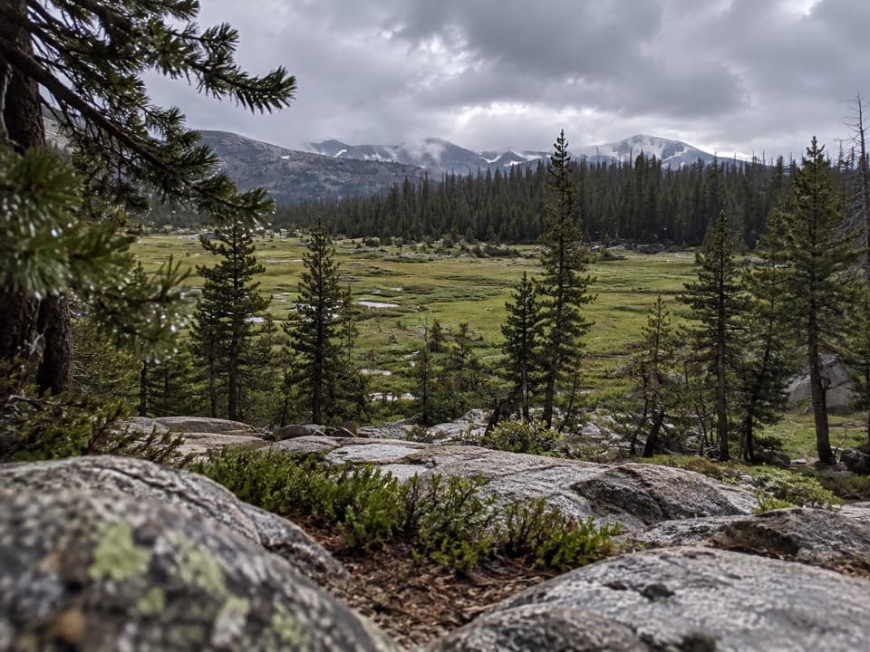 ChallengingVogelsang to Cathedral Loop34.4 mi · 18 hr · 1.4 mi awayA high-country loop linking three of Yosemite’s High Sierra Camps.
 ModerateLyell Canyon Trail11.4 mi · 6 hr · 1.8 mi awayA long walk among meadows, river crossings, and open high country.
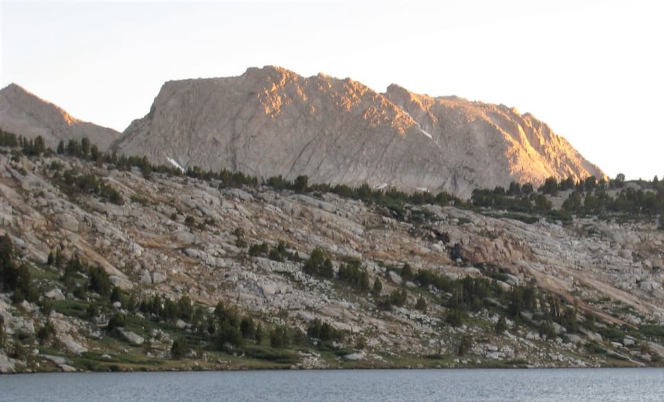 ChallengingIreland and Evelyn Lakes Loop22.2 mi · 12 hr · 2 mi awayTwo alpine lakes reward a long loop through a river meadow.
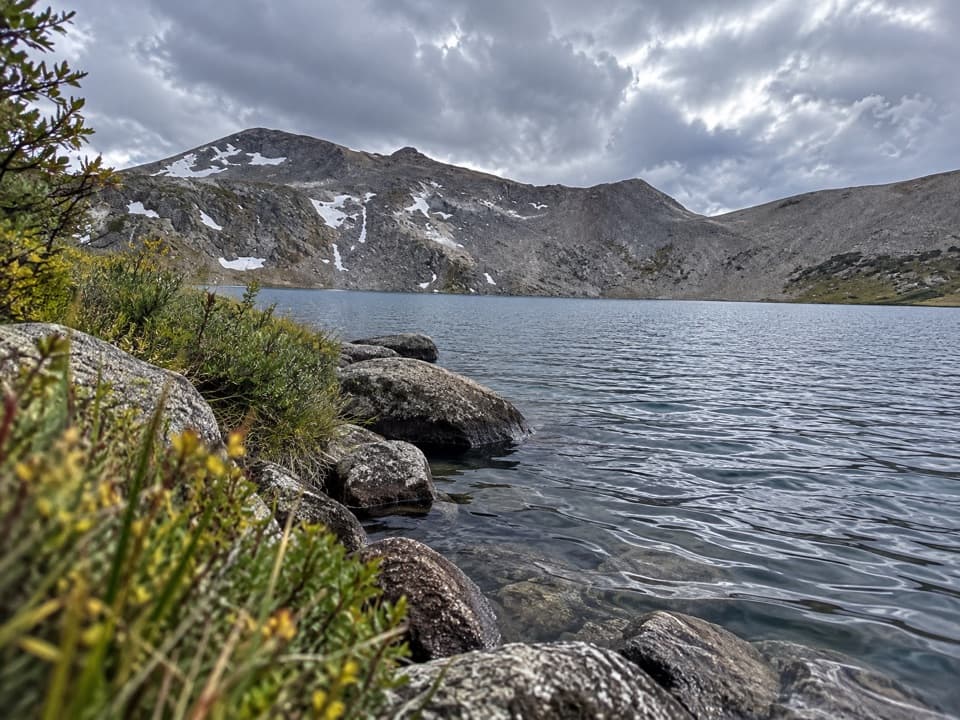 ChallengingIreland Lake Trail19.8 mi · 9 hr · 2 mi awayA long walk from Lyell Canyon to a quiet alpine lake.ChallengingEvelyn Lake Trail17.2 mi · 10.5 hr · 2 mi awayA full-day climb to a lake beneath Fletcher Peak.
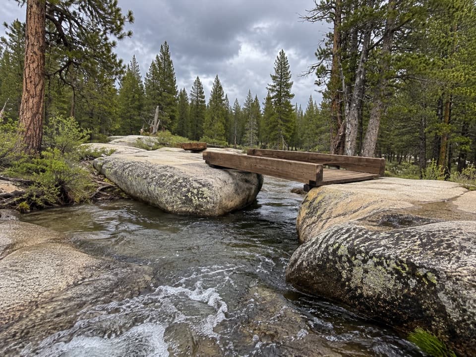 EasyTwin Bridges of Lyell Fork Trail1.6 mi · 1.5 hr · 2 mi awayA gentle river walk to two timber bridges on Lyell Fork.
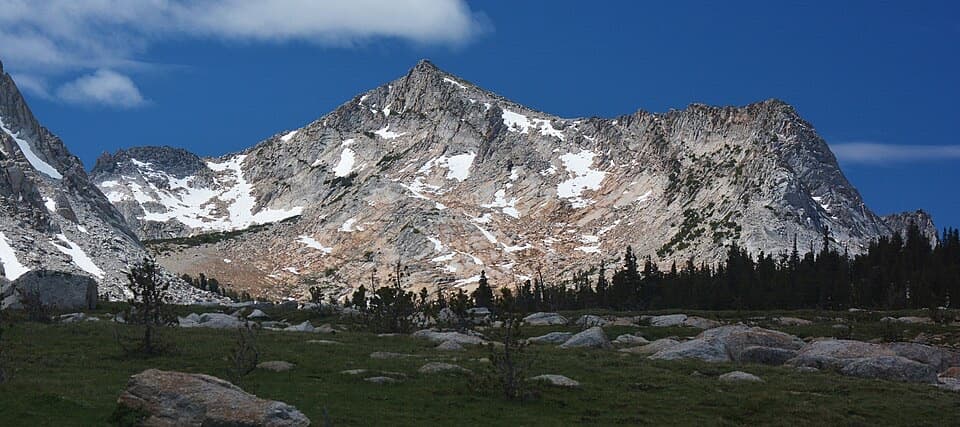 ChallengingVogelsang High Sierra Camp Trail14.4 mi · 9 hr · 2 mi awayA long meadow climb to a granite camp beneath two high peaks.
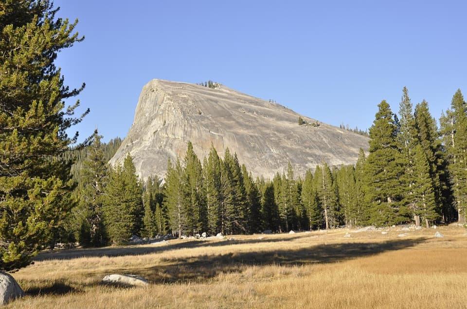 ModerateLembert Dome Trail2.1 mi · 2 hr · 2 mi awayShort forest climb, bare granite, and a Tuolumne Meadows panorama.
 Lodging · 1.7 mi awayTuolumne Meadows LodgeCanvas cabins beside the river, with trails on your doorstep.
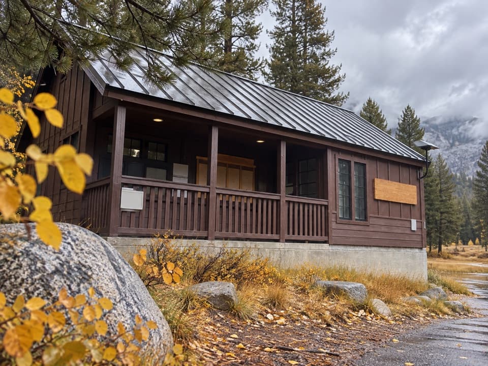 Ranger station · 2.4 mi awayTuolumne Meadows Wilderness CenterTalk over your route and get a backcountry permit.
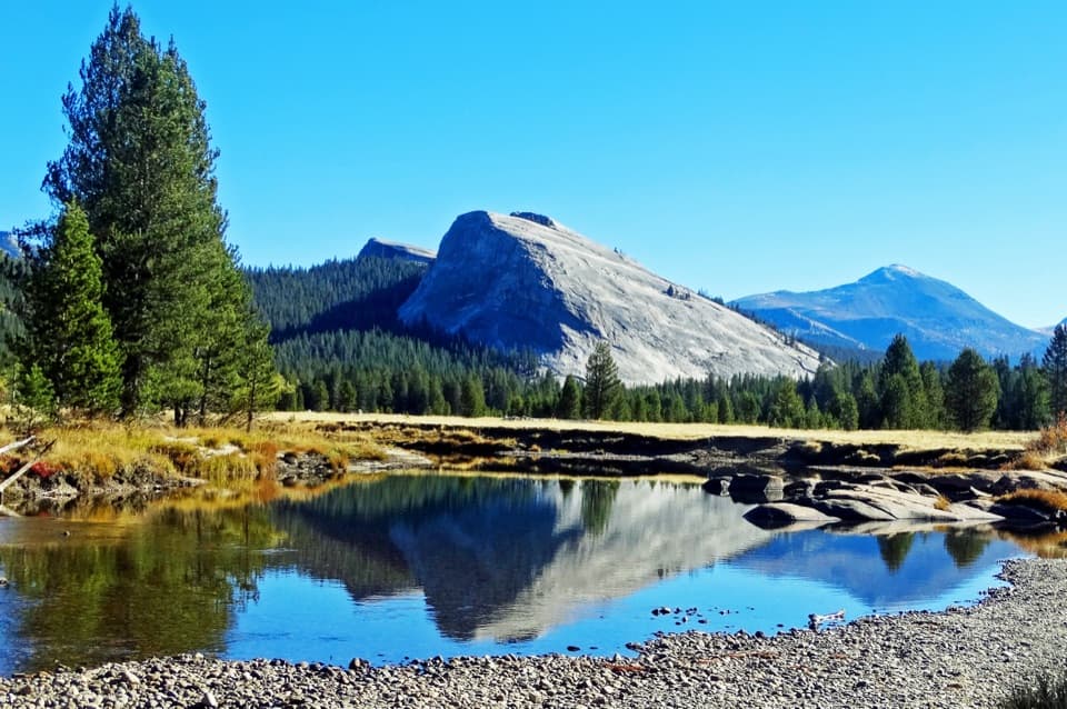 Sight · 2.4 mi awayLembert DomeA steep granite climb earns a wide-open Tuolumne panorama.
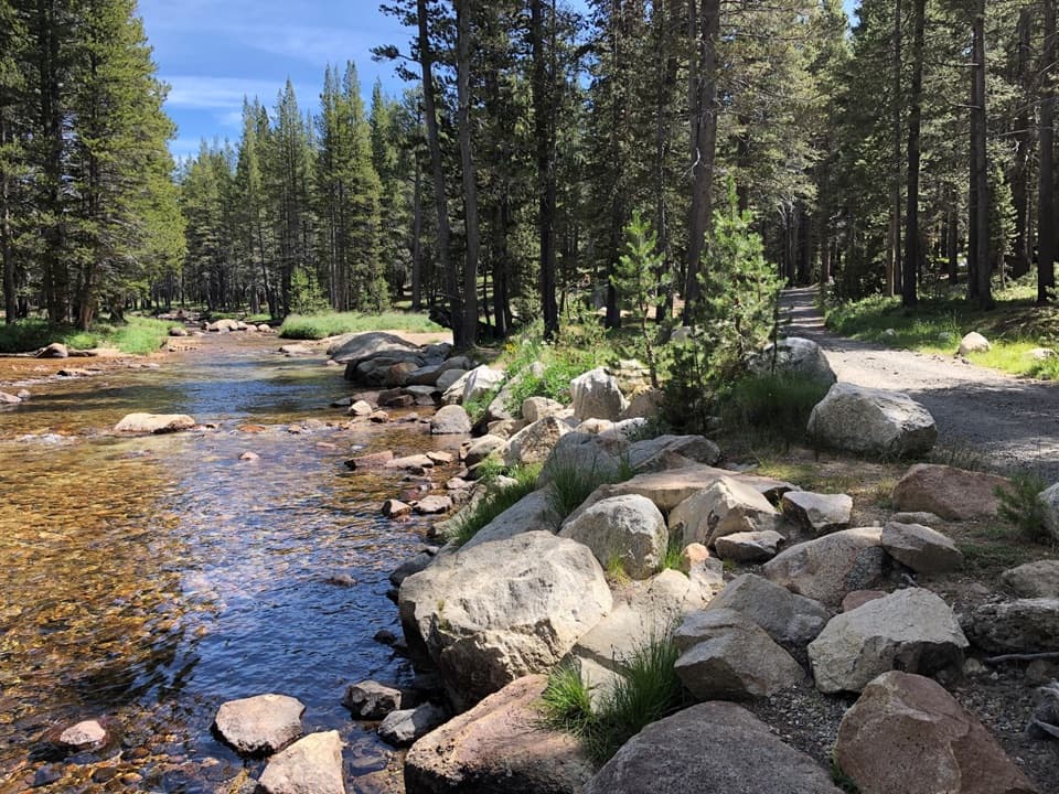 Campground · 2.8 mi awayTuolumne Meadows CampgroundA high-country base for Tuolumne's hikes, lakes, and river.
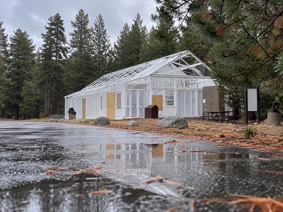 Food · 3 mi awayTuolumne Meadows Store and GrillLunch and trail basics before the high-country miles.
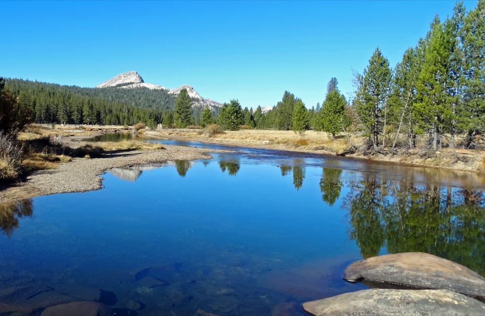 Sight · 3.2 mi awayTuolumne MeadowsA high-country meadow with river bends and granite domes.
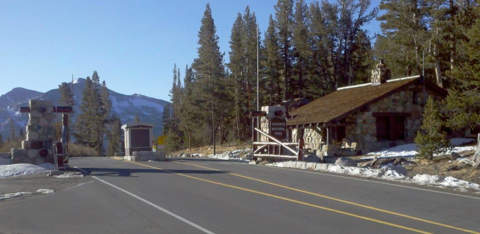 Entrance station · 3.3 mi awayTioga Pass EntranceThe eastern gateway sits 9,945 feet up on the Sierra crest.
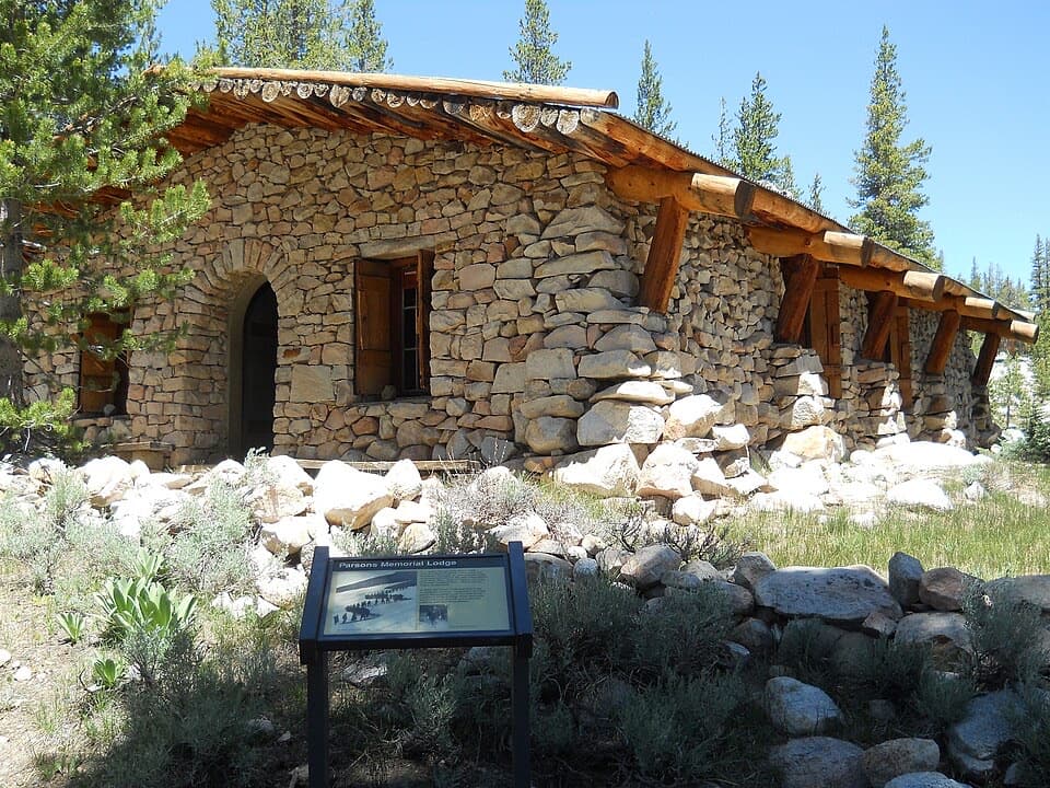 Sight · 3.5 mi awayParsons Memorial Lodge and Soda SpringsA short walk joins a 1915 lodge with bubbling meadow springs.
Parkwolf’s Yosemite ranking

The audio tour guide for the drive, plus offline maps, trails, and wildlife heatmaps for when the signal drops.