Challenging

Mount Dana Trail

Steep, high-altitude grind to outrageous Mono Lake panoramas.
Mount Dana Trail, Yosemite National Park
Distance6 mi
Typical time5.5 hr
DifficultyChallenging
PetsNot allowed

Overview

If you want massive Sierra views without a full-day backpack, this is your summit. The Mount Dana Trail shoots from near Tioga Pass straight into the alpine, topping out around 13,060 feet. Expect an aerobic, high-altitude effort with little shade and lots of rock. The hike is roughly 6.0 miles total, out-and-back, with about 3,100 feet of elevation gain. It’s strenuous, beautiful, and very much worth it if you’re acclimated and comfortable on loose terrain.

Route and Terrain

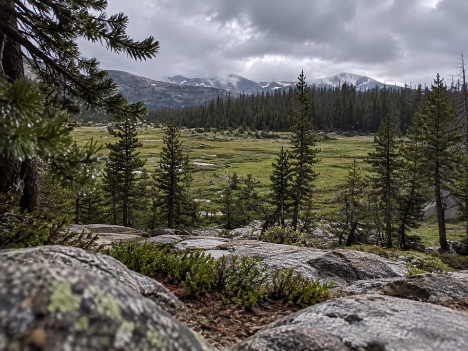
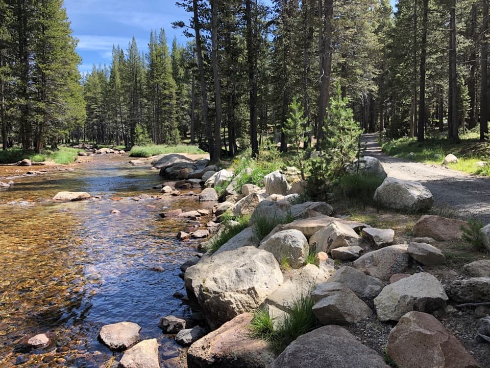
From the Tioga Pass entrance, the first half-mile crosses meadows before the trail tilts up and stays that way. Around 1.5–2.5 miles in, a broad, flatter “bench” offers a breather and your first clear look at the summit. Above this point the route gets rougher: the use trail braids, cairns appear, and footing shifts to talus and scree. The final three-quarters of a mile gains over 1,000 feet—relentless, loose, and a bit of light hands-on movement in places. Download offline maps and follow cairns where the path fades.

Views and Geology

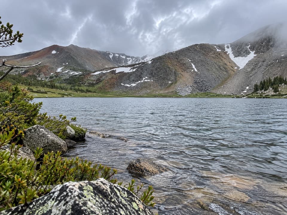
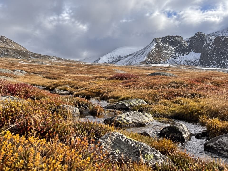
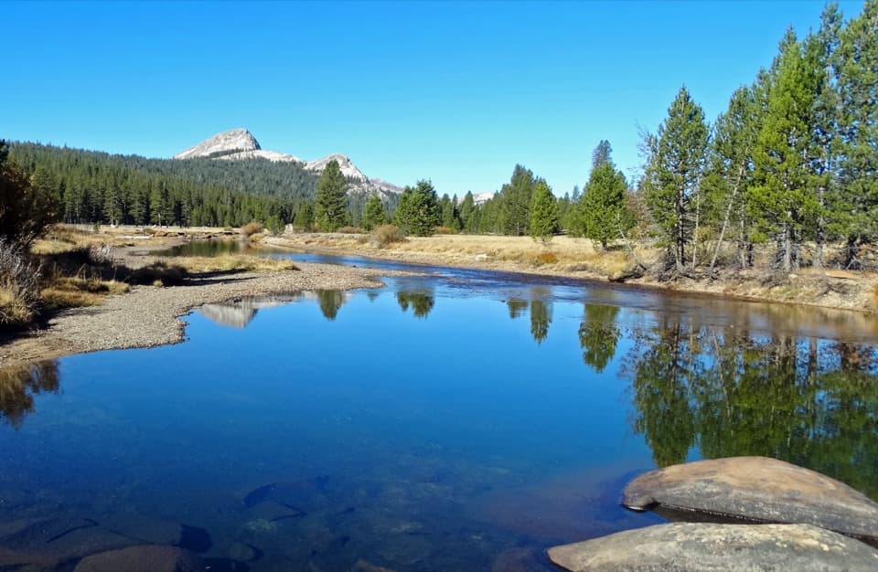
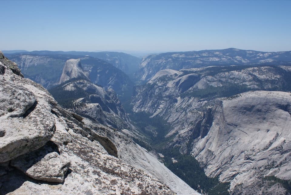
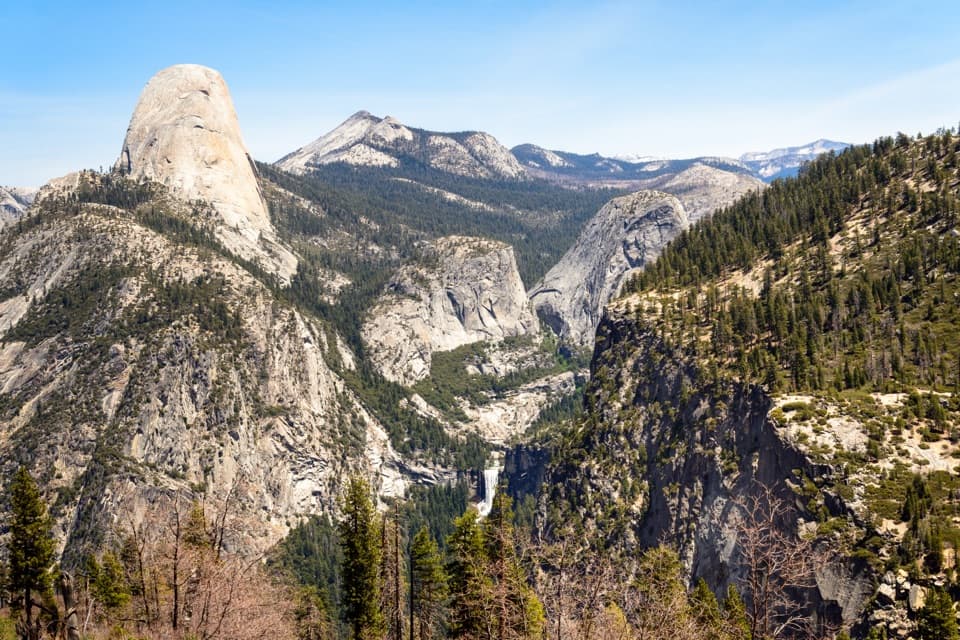
The summit panorama is a showstopper: Mono Lake and the Great Basin to the east, Tuolumne’s domes and the high Yosemite backcountry to the west. You’ll be hiking over reddish metamorphic rock (ancient metavolcanics), with Dana Meadows below and the small Dana Glacier tucked on the mountain’s northern face. Above treeline, vegetation thins to lichens and hardy alpine flowers like sky pilot. Keep an eye (and ear) out for marmots and American pikas in the talus.

Best Times to Hike

The window is typically late spring through early fall, depending on Tioga Road’s opening. Start early for cooler temps and calmer winds, and to dodge common summer afternoon thunderstorms. Even on sunny days it can blow cold above treeline, so bring a wind layer. Snow patches can linger into summer—traction or even an ice axe may be necessary in heavy-snow years.

Logistics and Parking

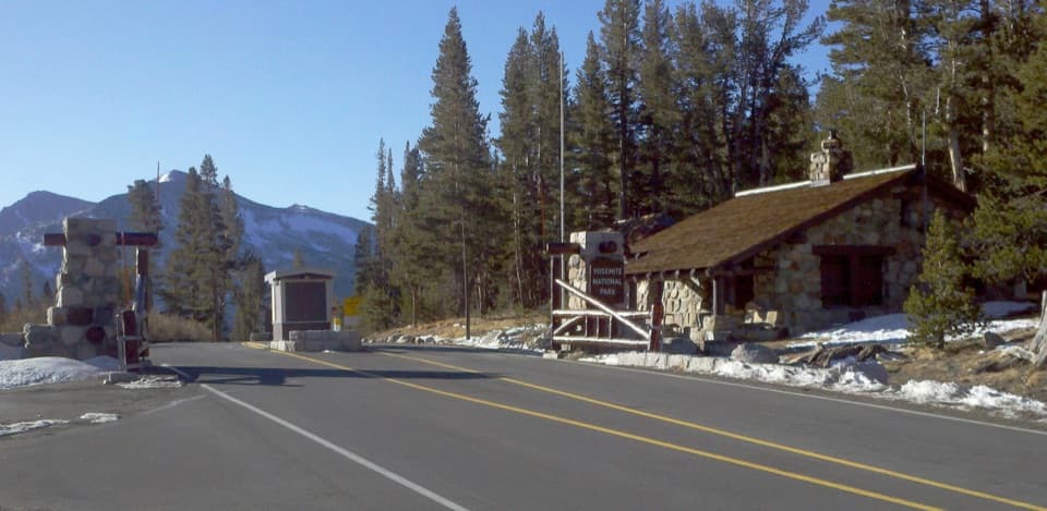
Trail access is right by the park’s east gate at Tioga Pass. Park on the shoulder/lot near the entrance station (or at the nearby Gaylor Lakes lot) and cross the road to find the use trail heading uphill. There’s no water on route—carry everything you need. No wilderness permit is required for day hiking, but standard park entry fees and any seasonal entry requirements apply. Pets are not allowed on this trail.

Hazards and Tips

This is a high-altitude hike that starts near 10,000 feet—altitude effects are common. Turn around if you develop headache, nausea, or dizziness. The upper mountain is exposed, with loose talus and occasional route-finding; trekking poles help on the descent. Watch the sky and avoid ridgelines if thunderstorms build. Sun protection is essential; there’s almost no shade.

Pros

  • Start right at the east gate—fast access from the 395 side.
  • Sky pilot and other alpine blooms often appear surprisingly close to the summit.

Cons

  • Upper route is unofficial and faint with tedious loose talus on descent.
  • Almost zero shade and no water make hot, sunny days punishing.
  • Altitude hits quickly; many hikers turn around at the mid-mountain bench.

Parking

Park on the shoulder/lot near the Tioga Pass entrance station (or at the Gaylor Lakes lot) and cross the road to the use trail.

Caution

High altitude, full exposure, and loose talus near the top; frequent afternoon thunderstorms; route can fade—follow cairns and carry offline maps; no water on route; lingering snow early season may require traction.

The Parkwolf tour guide sitting on a phone mounted in a car

Parkwolf Tour Guide

Like a tour guide in your car.

Bring Yosemite trail research into the car, with offline maps and stories that play as you drive.Download Parkwolf on the App Store