
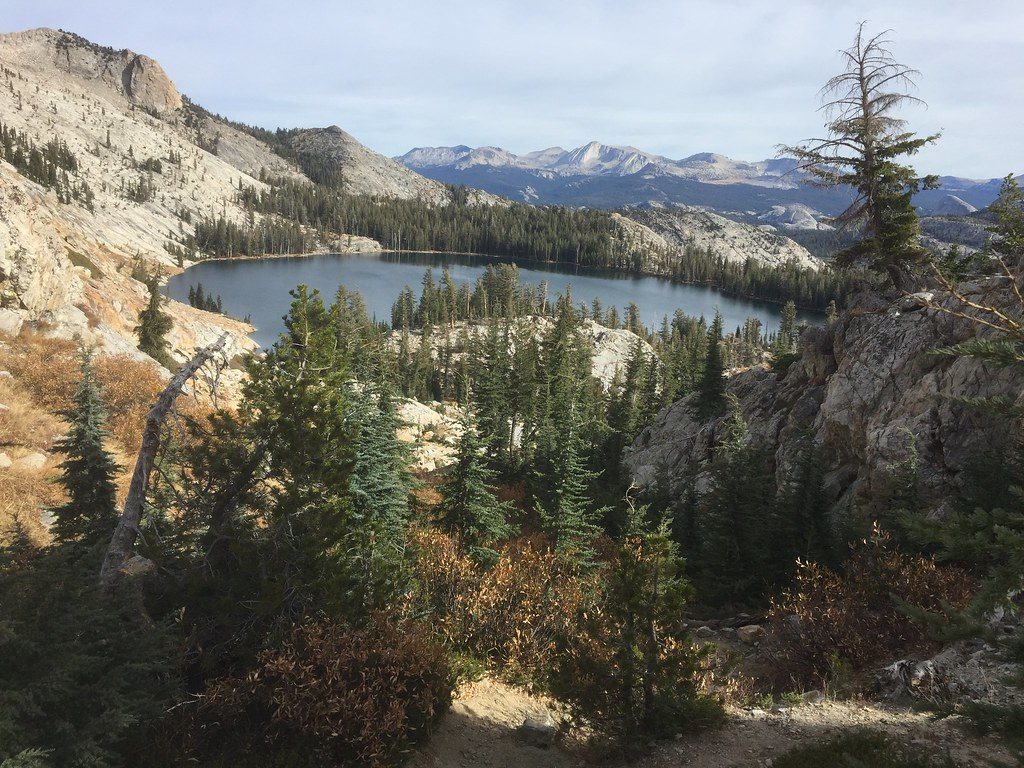
Place · 1.1 mi away
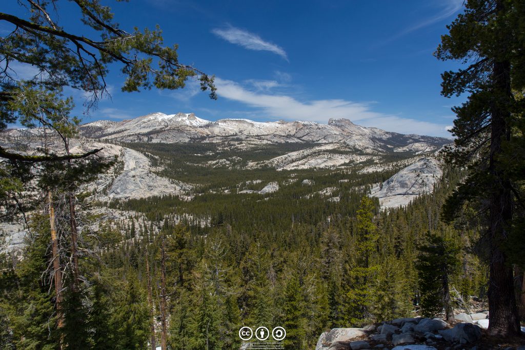
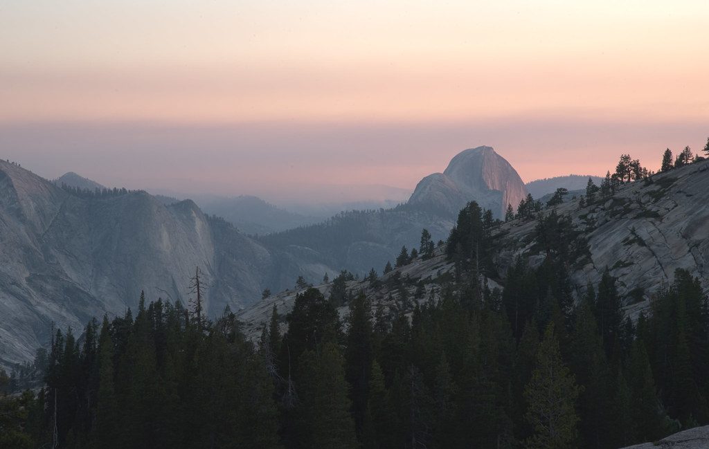
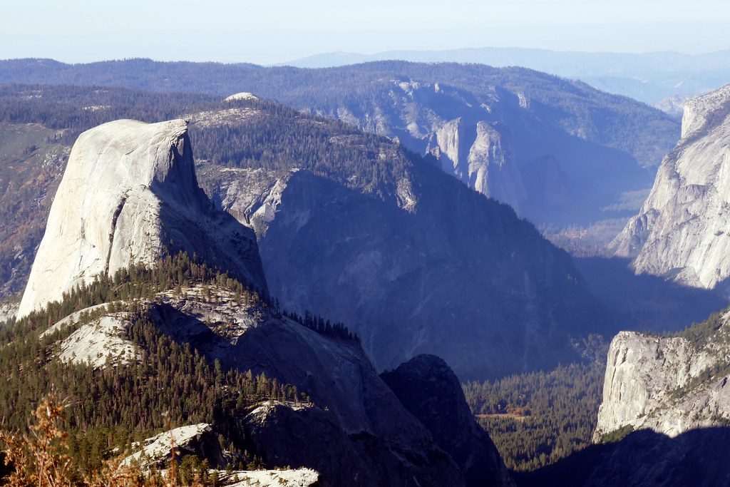
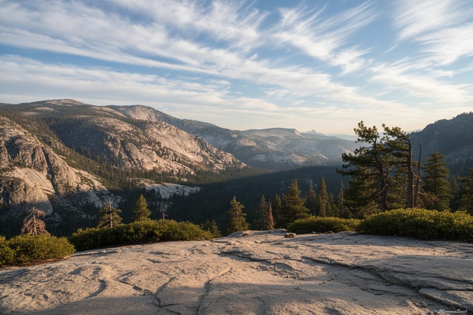
Mount Hoffmann sits near the heart of the park at roughly 10,850 feet and delivers a full-circle panorama—Half Dome and Clouds Rest to the south, Cathedral Peak and Tenaya Lake in view, plus wide High Sierra horizons. It’s an underrated summit with a small communications tower near the top, but the views easily steal the show.
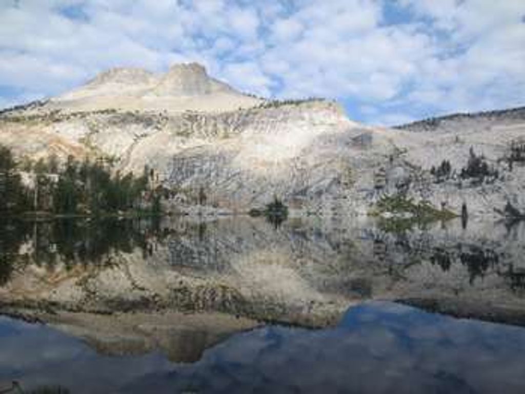
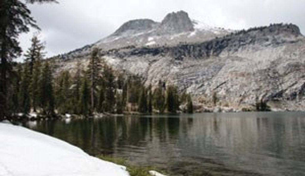
Most people approach via the May Lake Trailhead off Tioga Road. It’s about 1.1 miles and ~500 feet up to reach May Lake on a well-built path. From there, the character changes: the official trail fades into a network of use paths that climb meadows, forest, and talus toward the summit. Expect light route-finding, braided social trails, and a final hands-on boulder scramble.
Typical round-trip stats land around 5.4–6.2 miles with roughly 1,900–2,000 feet of gain, and the altitude makes it feel bigger than the mileage suggests. The descent can be more confusing than the climb, so note your line around the lake and key junctions on the way up.
There’s a dedicated trailhead parking area off Tioga Road. You’ll find restrooms at the trailhead, and when the High Sierra Camp area by May Lake is operating, there may be seasonal pit toilets—but don’t count on services beyond that. There is no reliable water on the route; carry your own. Store food properly at the car and use bear boxes where provided—bear activity is reported at trailheads.
Above May Lake, you’re on unmarked use trails with occasional cairns. The upper slopes include loose talus and a short but steep boulder finish. Good traction footwear and trekking poles make a noticeable difference. The summit block has sheer drops on the north side; those with vertigo will want to mind their footing.
You’ll move from subalpine forest into open alpine terrain where shade thins out. Marmots are commonly seen near the meadows and summit; deer sightings pop up occasionally. As always, keep your snacks to yourself and give wildlife space.
Aim for late summer into early fall when Tioga Road is open and lingering snow has melted off the upper slope. Early season can hold snow and add hazards. Start early for easier parking, cooler temps, and typically calmer summit winds. The final stretch is mostly exposed, so a morning ascent is more pleasant on hot days.
Plan for a high-elevation day: 2–3 liters of water, sun protection, layers for wind on the summit, grippy footwear, and trekking poles. An offline GPS/map helps a lot once the official trail ends above May Lake.
If you want big Sierra views without an all-day sufferfest, Hoffmann’s blend of moderate distance, real summit feel, and quieter vibes makes it one of the park’s best bang-for-buck high-country hikes.
Place · 1.1 mi away
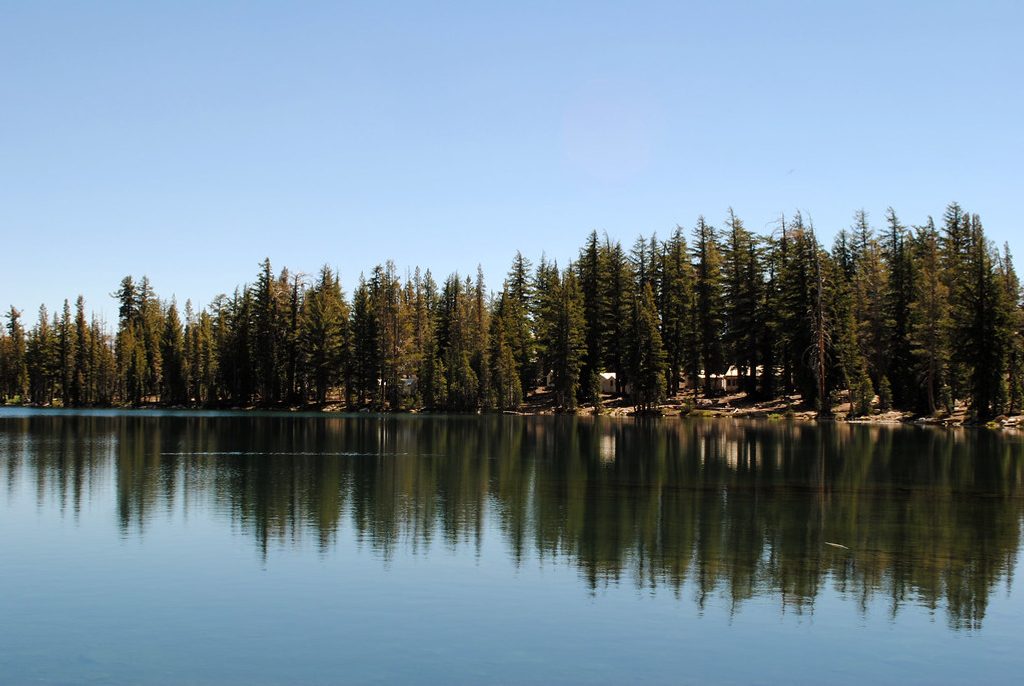
Place · 1.2 mi away
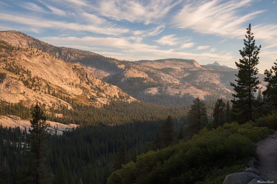
Place · 2.8 mi away
Place · 2.9 mi away
Challenging · 1.5 mi away
Moderate · 1.5 mi away
Challenging · 2.7 mi away
Moderate · 2.8 mi away

Parkwolf Tour Guide
