
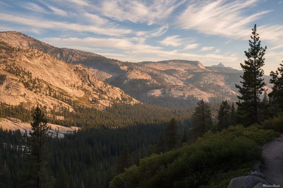
Place · 0.7 mi away
Challenging
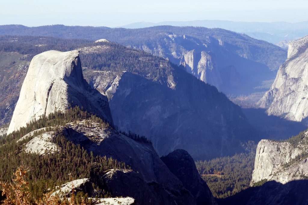
Clouds Rest is a strenuous all‑day outing to one of the most sweeping 360° viewpoints in the Sierra. Expect roughly 14.5 miles round trip (out-and-back) and about 1,775 feet of net elevation gain—but the rolling terrain makes it feel tougher than the numbers suggest. You’re hiking high (trailhead around 8,150 feet, summit 9,926 feet), so the altitude adds bite. Unlike Half Dome, no day-use permit is required, yet the view arguably outclasses it.
Start at the Sunrise Lakes (Tenaya Lake) trailhead on Tioga Road. The first mile is gentle, then the steepest climb kicks in around 1.5 miles, gaining about 1,000 feet in roughly a mile. After a high point, the trail undulates before the final push. Signage is straightforward but be aware some posted mileages read longer than actual.
The last 0.3 miles traverse the famous ridge (“the spine”). It looks intimidating, but the path generally stays on the left side of the crest and is usually 5+ feet wide—far from a true knife-edge. Keep left, take your time, and skip it if winds are howling or storms are building. The summit itself is broad with room to spread out.
Trailhead amenities include a pit toilet, bear-proof food lockers, and trash; no potable water. Parking is limited and fills early; roadside overflow along Tioga Road is common. Tioga Road is seasonal—plan only when it’s open. Carry at least 3 liters of water; there are seasonal sources, including a lake about 3.1 miles in where you can refill if you treat. Trekking poles pay off on the steep, rocky sections.
Early in the season, the Tenaya Lake outlet crossing can be thigh-deep; by late summer it often dwindles or dries. The ridge is exposed—avoid during high winds, slick rock, or any hint of thunderstorms. Mosquitoes can be fierce in spring and early summer, especially lower down; bring repellent or a head net. Altitude can hit hard—pace conservatively, hydrate, and know when to turn around.
Hike it when Tioga Road is open—typically late spring through fall—with a start at first light for cooler temps, calmer winds, and fewer people. Clear mornings yield the steadiest light; cloud build-up and gusts are more common in the afternoon. Avoid snow conditions and any day with thunderstorm potential.
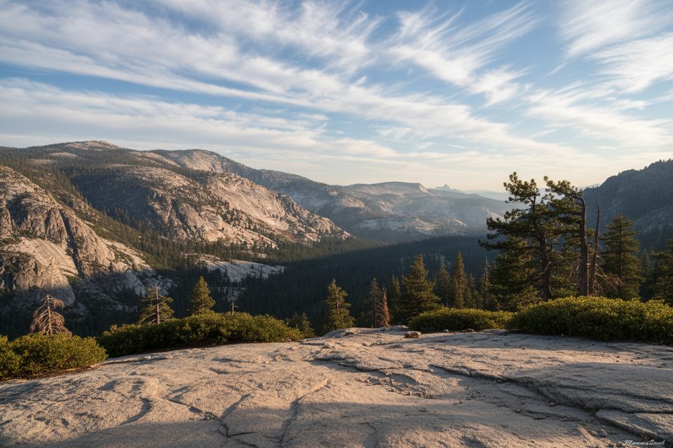
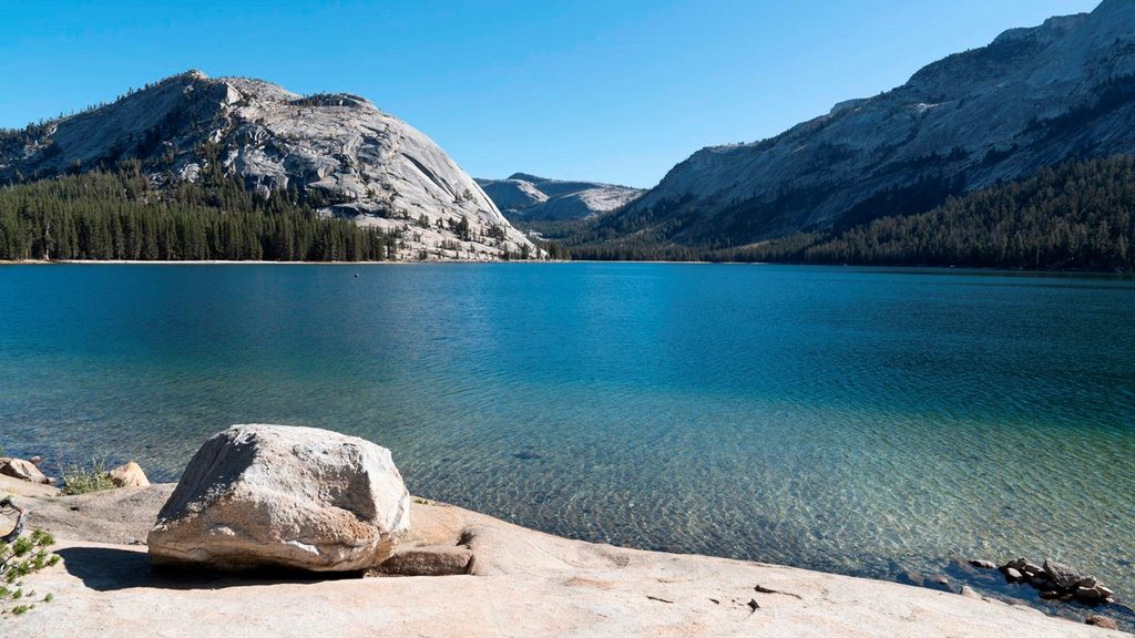
From the summit, soak up vast views of Half Dome right below, the depth of Tenaya Canyon, Tenaya Lake, Mount Hoffman, Sentinel Dome, North Dome, Merced Lake, and an ocean of High Sierra peaks in every direction. It’s the classic Yosemite panorama—without cables, permits, or quite as many elbows.
Small lot at the Sunrise Lakes (Tenaya Lake) trailhead with pit toilet and bear lockers; fills early. Overflow parking along Tioga Road.
High elevation and exposure on the summit ridge; avoid strong winds and thunderstorms. Early-season water crossing can be deep. Mosquitoes can be intense. Tioga Road closes seasonally—confirm access.
Place · 0.7 mi away
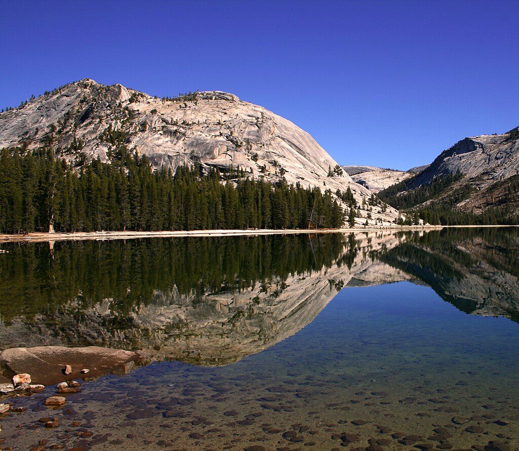
Place · 0.7 mi away
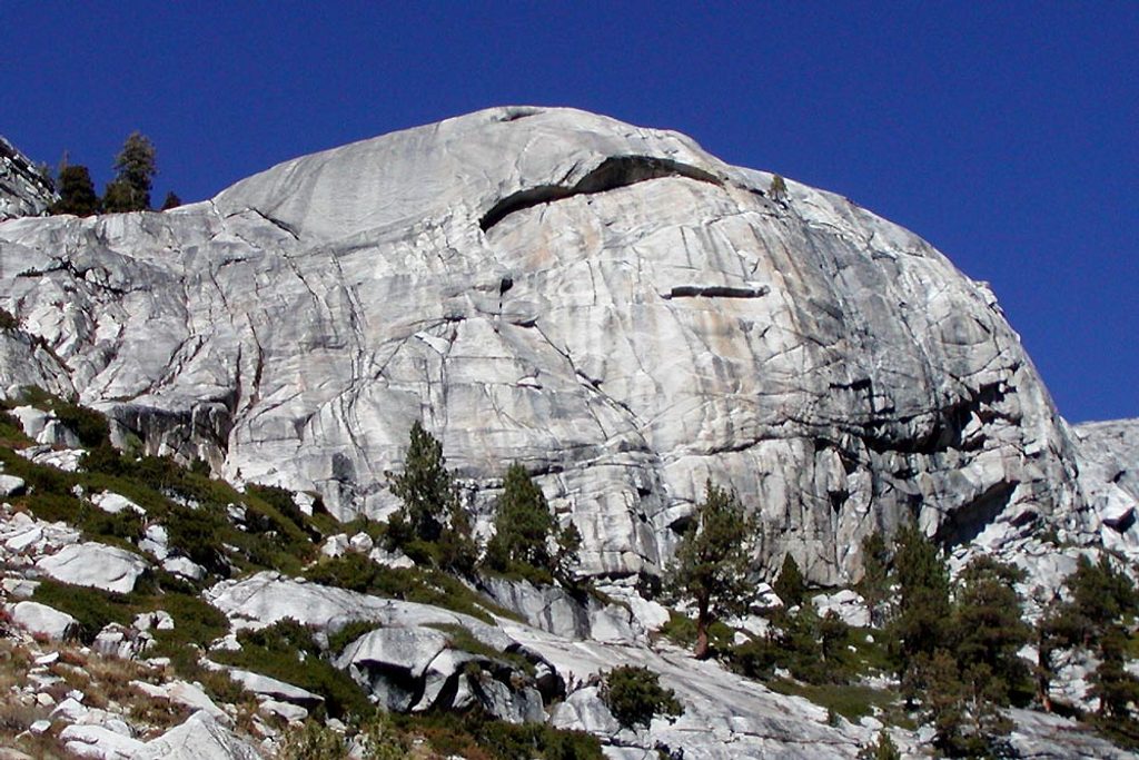
Place · 1.3 mi away
Place · 1.3 mi away
Moderate · 0.7 mi away
Challenging · 1.2 mi away
Moderate · 1.2 mi away
Easy · 1.3 mi away

Parkwolf Tour Guide
