Pros & cons
PROS
- Easy off‑trail spur to Polly Dome Lakes for a rewarding kid‑friendly picnic
- Often a less‑crowded gateway to classic high‑country destinations like May Lake and Glen Aulin
CONS
- Murphy Creek is often low or dry by mid‑summer, limiting water access
- Long forested stretches mean fewer constant views compared to other Yosemite routes
Signed Murphy Creek trailhead parking along Tioga Road at Tenaya Lake.
Seasonal Tioga Road closures; mosquitoes in early/mid‑summer; granite slab sections rely on cairns for navigation; short steep steps; Murphy Creek can be dry—carry water; no swimming in May Lake; overnight trips require permits and proper food storage; fires only where and when allowed below 9,600 feet.
Overview
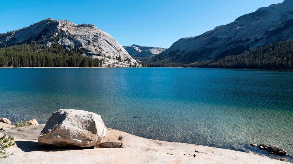
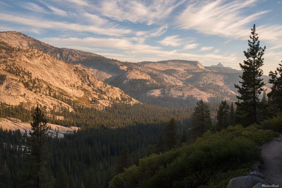
Murphy Creek is a mellow, family‑friendly corridor in Yosemite’s high country, starting on the shore of Tenaya Lake and climbing gently through lodgepole forest to broad granite. Expect shade, summer wildflowers, and peeks toward Polly Dome, Mount Hoffmann, and Tuolumne Peak. The signed trail connects to the Glen Aulin–May Lake junction, making it a smart gateway for first‑time backpackers and kid‑friendly overnights. The Murphy Creek segment is roughly 3.0 miles one way; a popular bigger option is the Tenaya Lake → May Lake → Murphy Creek loop at 10.2 miles total with about 1,535 feet of gain.
What you’ll see
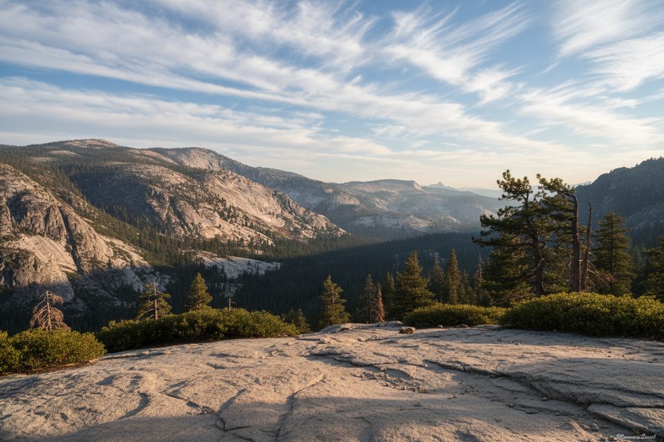
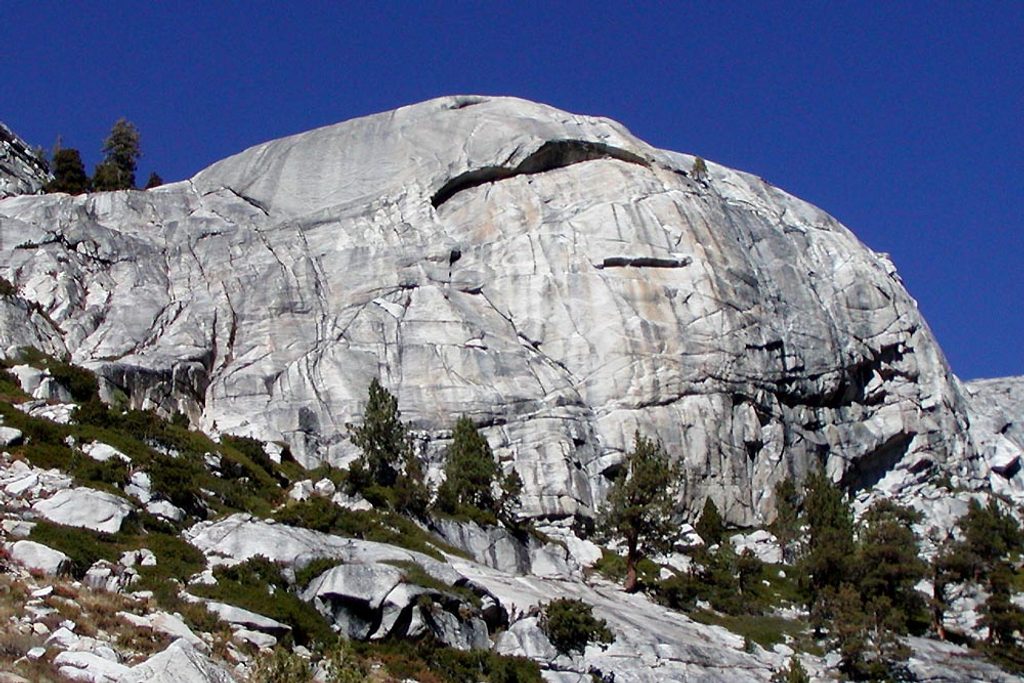
Early on, you’ll cruise through cool lodgepole stands before the path rolls onto sunlit granite slabs marked by cairns. Keep an eye out for glacial erratics—big boulders perched where retreating ice left them—and polished bedrock that tells the story of ancient glaciers. Views open here and there toward the Tuolumne high country, but this route is more about quiet forest and clean granite than constant panoramas.
Route and options
- Core segment: Tenaya Lake to the Glen Aulin–May Lake junction (about 3 miles one way) on a generally gentle grade with a few short steeper steps.
- Polly Dome Lakes spur: Before a prominent granite outcrop, an unofficial use path heads ~0.5 mile east to the largest Polly Dome Lake—shallow, rocky, photogenic, and a great picnic target. Return to the main trail the way you came.
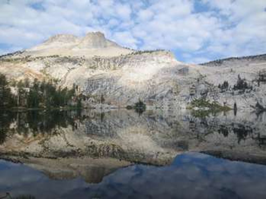
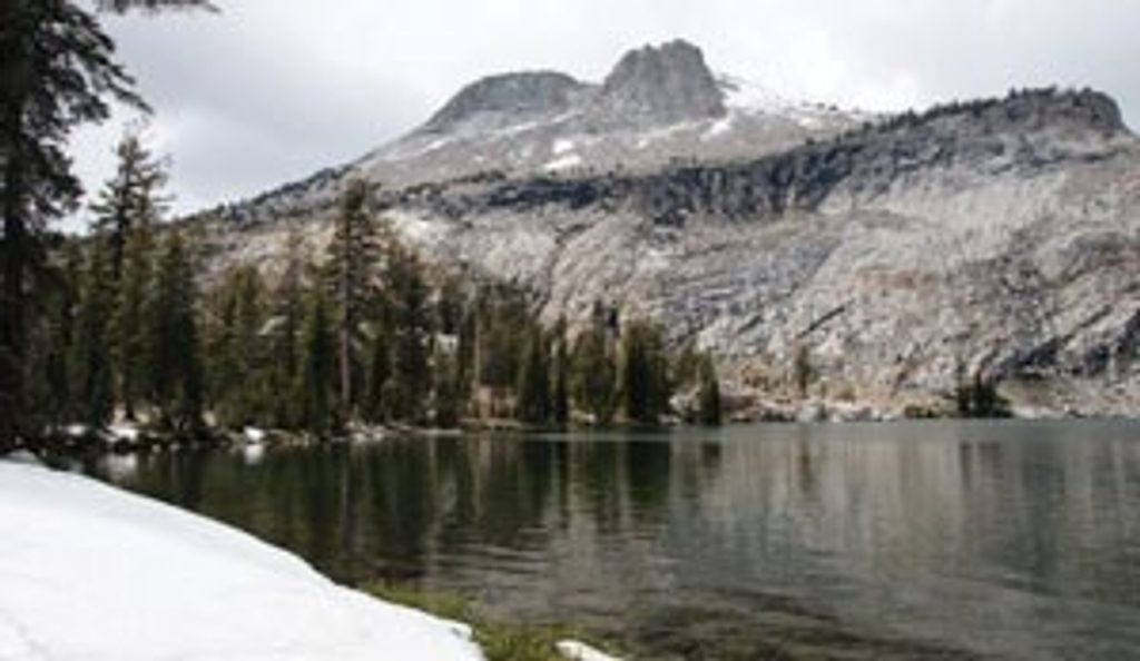
- Bigger day: The Tenaya–May Lake–Murphy Creek loop is 10.2 miles total (plan ~4.5 hours for most hikers). May Lake is an excellent lunch spot; note that swimming is prohibited because it’s a drinking water reservoir.
- Multi‑day: Continue toward Glen Aulin for river scenery; early season brings livelier cascades, while late summer flows are calmer.
Is it right for you?
This corridor is underrated if you like tranquil miles, granite underfoot, and the option to tailor your day. It’s a favorite for beginners and families because it’s kinder on the legs and less trafficked than many Tuolumne starts. If you crave nonstop blockbuster views, some stretches can feel plain; the payoff comes in the lakes detours and onward destinations.
Best time to hike
Late spring through early fall, when Tioga Road is open. Early to mid‑summer brings wildflowers and strong mosquitoes; late summer often means drier creeks, clearer skies, and fewer bugs but less dramatic water. For photography, aim for morning light on Tenaya Lake and late‑day glow on the granite slabs. Weekdays see lighter traffic.
Logistics and tips
- Start: Park at the signed Murphy Creek trailhead along Tioga Road at Tenaya Lake.
- Water: Murphy Creek itself often runs low or dry by mid‑summer; carry enough and plan to refill at lakes where allowed and appropriate.
- Overnight travel: A wilderness permit is required; food must be stored in approved bear‑resistant containers. Fires are generally allowed below 9,600 feet when regulations permit—always check current rules.
- Seasonal access: Tioga Road is seasonal; closures can arrive early with autumn storms.
- Trail feel: Natural, uneven singletrack with occasional short steep pitches and granite slab navigation by cairns.
- Bugs: Mosquitoes can be fierce near water in early/mid‑summer.
Nearby comparisons
Want more variety and big‑sky views? Linking May Lake and Mount Hoffmann or heading toward Tuolumne Peak offers grander panoramas. Prefer river soundscapes? Continue to Glen Aulin for White Cascade and a meandering stretch of the Tuolumne River—best earlier in the season for livelier flow.
Elevation
3 mi · 2.5 hrWhere it starts
37.8340, -119.4630Wildlife on this trail
Near Murphy Creek Trail
All places →All trails →
0 mi awayMurphy Creek TrailheadQuiet Tenaya Lake trailhead into granite slabs, domes, and alpine lakesTrailhead · Restroom
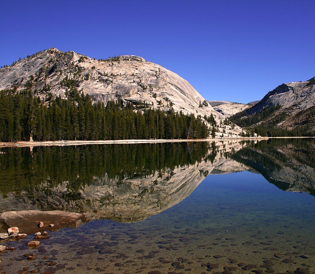
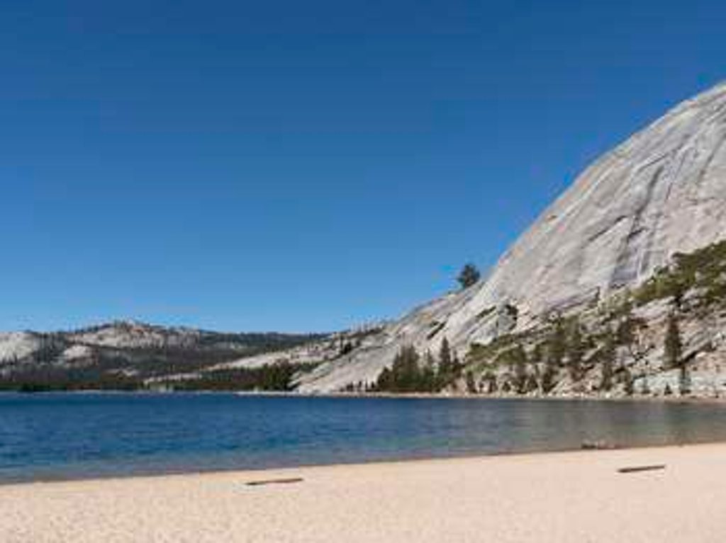
0.2 mi awayTenaya LakeBig alpine lake with sandy beach and polished granite domesParking · Restroom
0.6 mi awayHarlequin DomeSunny Tuolumne granite with classic multi-pitch friction climbsTrailhead · Parking
0.7 mi awayTenaya Lake Loop TrailEasy high country loop with granite domes, beaches, and cold swimsEasy · 2.5 mi · 1.5 hr
0.7 mi awayTenaya Lake Picnic AreaSandy alpine beach with tables, views, and chilly clear waterPicnic Table · Restroom
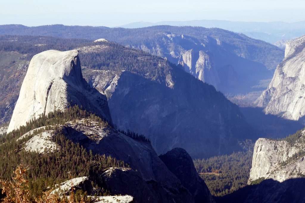
0.7 mi awayClouds RestA top-tier 360° summit without Half Dome’s crowds or permit.Challenging · 14.5 mi · 8 hr
1.5 mi awayMt. Hoffmann TrailShort, steep summit via May Lake with Yosemite’s widest 360° viewsChallenging · 6 mi · 3.5 hr
1.5 mi awayMay Lake TrailShort climb to a mirror-like alpine lake beneath Mount Hoffmann.Moderate · 2.5 mi · 1.5 hr