Place · 0.9 mi away
Moderate

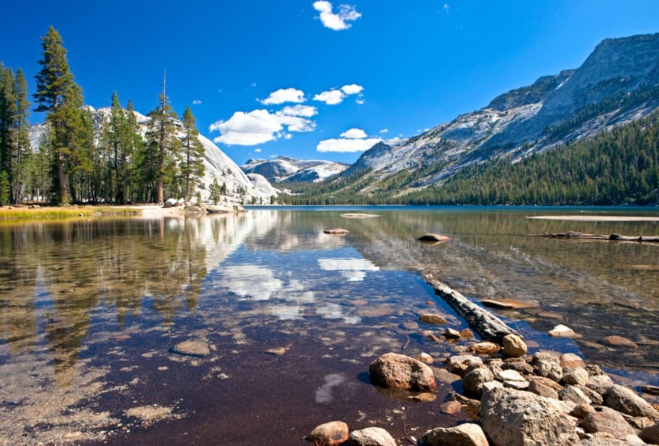
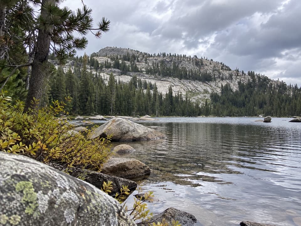
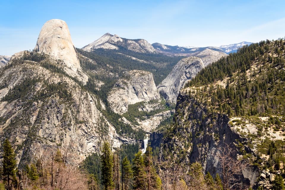
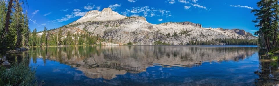
This is the High Sierra in a tidy package: a 2.5‑mile round‑trip, moderate hike climbing about 500 feet from a high trailhead to a polished granite bowl and the glassy shores of May Lake. Expect conifer forest, granite slabs, and big‑sky views with Mount Hoffmann looming above. It’s short, but you’ll feel the altitude (the trailhead sits around 8,700 feet and the lake around 9,270). The payoff—alpine water, Hoffmann reflections, and wide‑angle vistas—arrives fast.
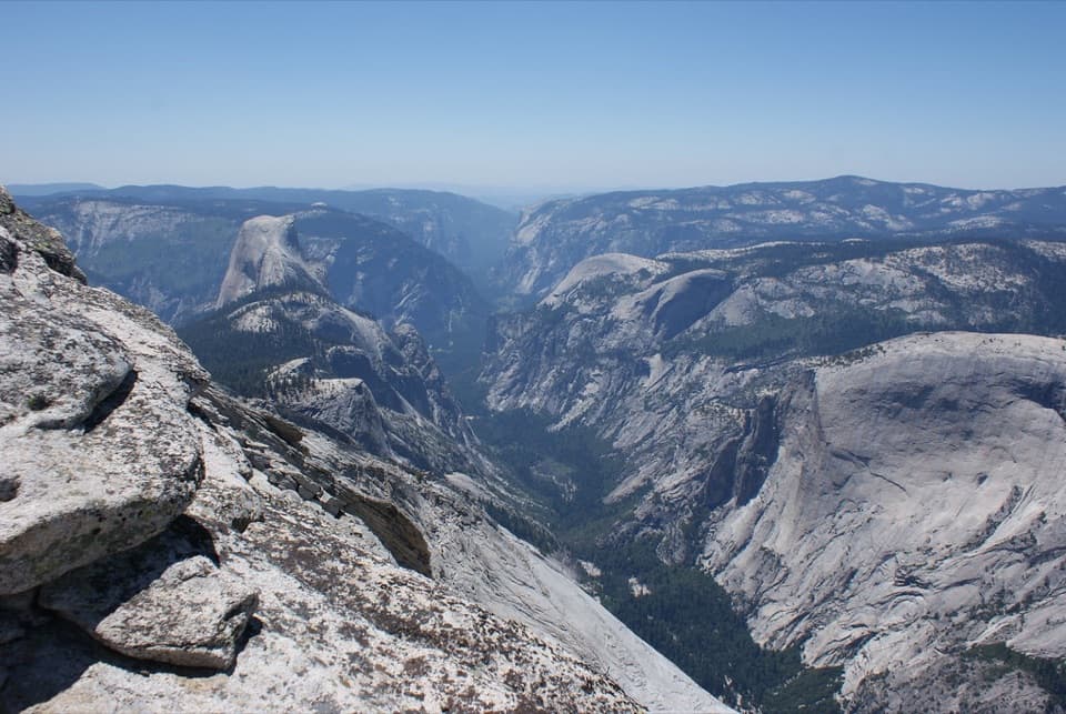
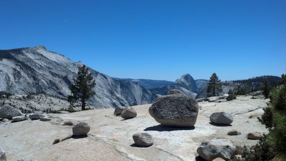
From the May Lake parking area, the path climbs steadily on packed dirt and granite, with a few rocky, steeper bits and short switchbacks. The grade eases as you near the lake and the backpacker camp. Pause along open slabs for glimpses toward Tenaya Lake and, from higher perches, Clouds Rest and other High Sierra peaks. This is a popular, short outing, but it often feels calmer than the Valley classics—start early for quieter water and cleaner reflections.
Total distance is roughly 2.5 miles round trip to the lake (out‑and‑back). Count on 1–2 hours for most hikers, depending on acclimatization and photo stops.
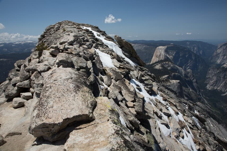
If you’re feeling strong, continue past the lake toward Mount Hoffmann, the park’s geographic center. The spur turns rougher and steeper, with some mild Class 2/3 scrambling near the top. From the trailhead it’s about 6 miles round trip total with roughly 2,000 feet of gain (about 1,575 feet from the lake to the 10,845‑foot summit). Route‑finding and sure footing matter; turn back if conditions or comfort aren’t right.
Access depends on Tioga Road. When it’s open (typically late spring/early summer into fall), a 1.75‑mile dirt spur (Old Tioga Road) leads to the May Lake lot. That spur can be narrow and potholed and sometimes opens later than Tioga Road; if it’s closed to vehicles, you’ll need to walk roughly 2 miles each way up the road to reach the trailhead. Parking is limited and often full by mid‑morning. A vault toilet and bear boxes are at the trailhead. At the lake, the backpacker camp has bear boxes and a seasonal water spigot; late season, water may be off. The High Sierra Camp by the north shore has remained closed in recent years—check current status before assuming services.
No pets on this trail. No day‑use permit is needed for the lake, but overnight trips require a wilderness permit, and bear canisters are required for food storage. Wildlife—including black bears—is present; store and handle food properly. Treat all natural water before drinking. Weather turns quickly at this elevation; storms and cold are common even when the Valley bakes. Altitude can make this short hike feel punchy; pace yourself, hydrate, and consider trekking poles for the rocky bits. Bring bug spray in season. Note: swimming has been reported as not allowed here because the lake is a water source; verify current rules before you go.
When Tioga Road is open, shoot for early morning: easier parking, calmer wind for mirror‑flat reflections, and softer light on Hoffmann. Afternoon brings bigger crowds and a higher chance of thunderstorms. Early and late season can be delightfully quiet but expect colder temps and the possibility of the spur road closure, which adds a road walk.
Small lot at the end of a 1.75‑mile dirt spur off Tioga Road; vault toilet and bear boxes at the trailhead. The spur can be rough and may be closed—if so, plan to walk roughly 2 miles each way up Old Tioga Road. Parking is limited and fills by mid‑morning.
High elevation and sudden weather; treat all water; no pets; limited parking; spur road may be closed adding a long approach; reported no‑swimming—verify current rules; Mount Hoffmann add‑on includes mild Class 2/3 scrambling.