
Place · 0.9 mi away
Challenging
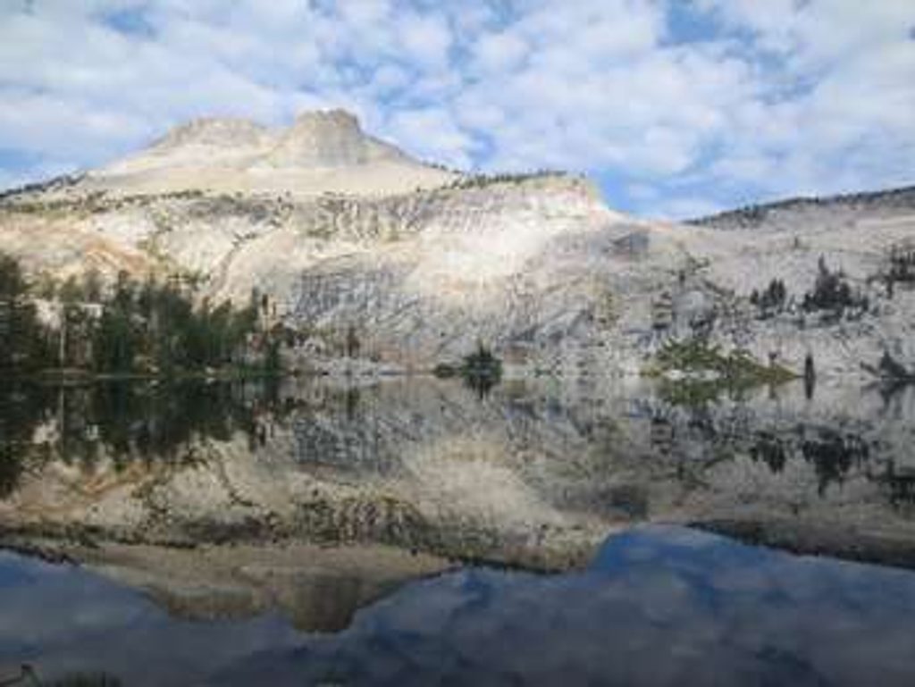
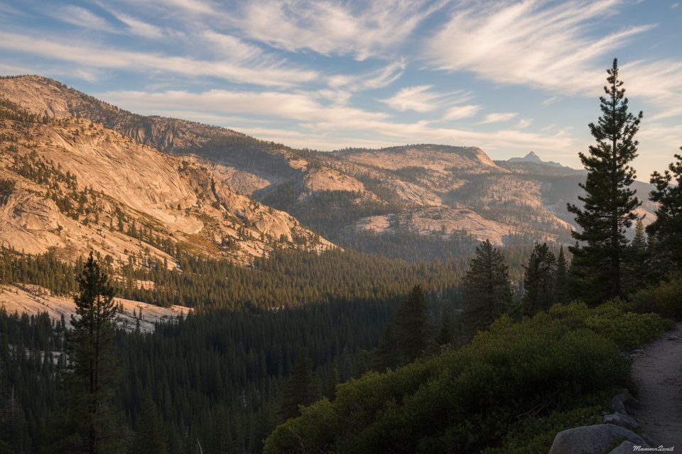
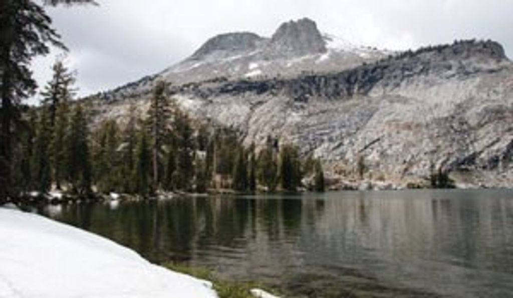
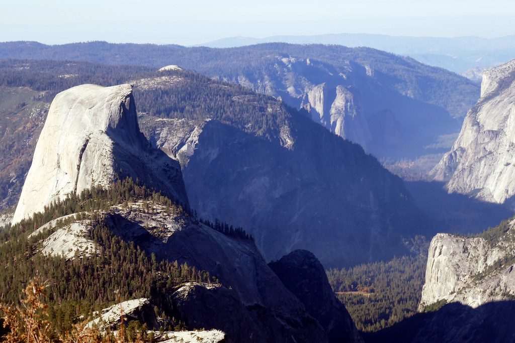
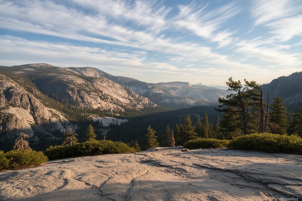
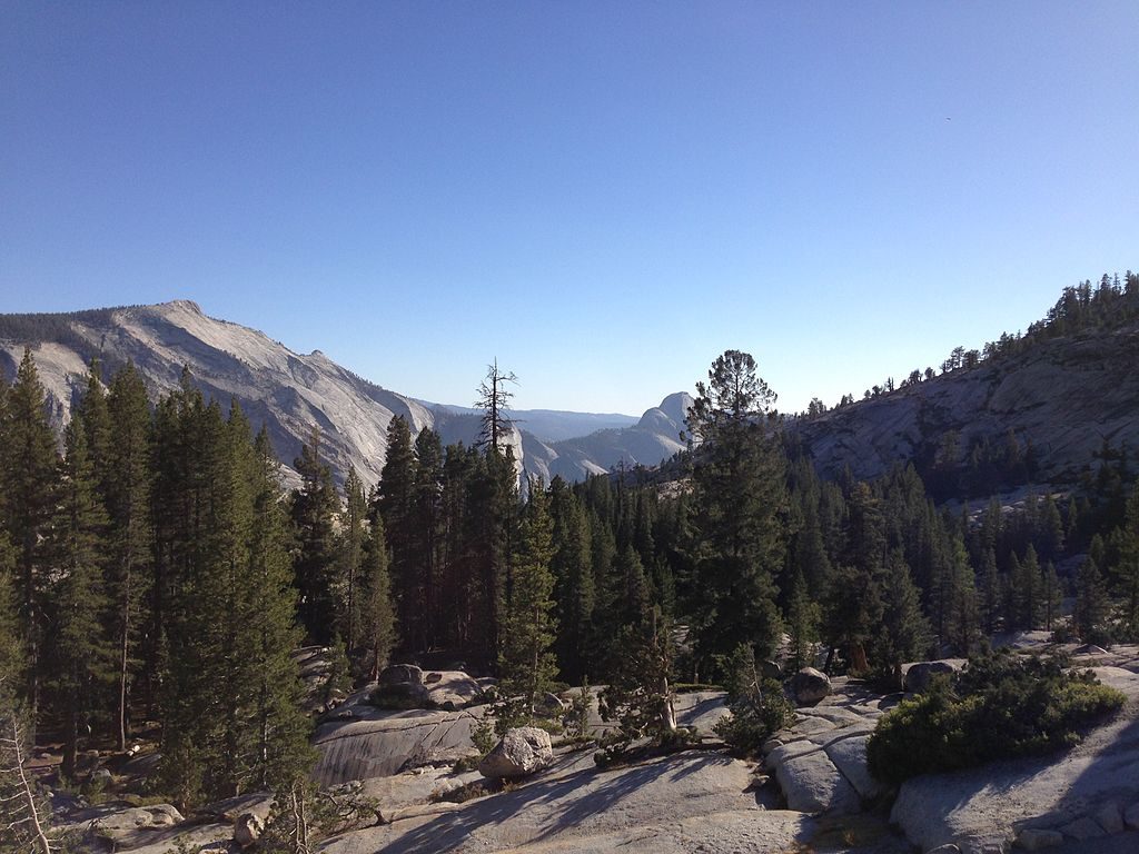
If you want huge payoff for a half‑day in Yosemite’s high country, Mount Hoffmann is hard to beat. Starting from the May Lake trailhead, you’ll climb past a photogenic alpine lake and up open granite to a true summit with panoramic views across the park—Half Dome, Clouds Rest, Tenaya Lake, and the northern wilderness all line up from here. Expect about 6.0 miles total out‑and‑back with roughly 2,000 feet of elevation gain. The air is thin (summit 10,845 ft), the upper slopes are exposed, and the final push is steep and rocky—short, but it’ll make you earn the view.
To the lake: moderate. Beyond: strenuous, with route‑finding, loose footing, and a short hands‑on scramble near the top. If you dislike off‑trail feel, exposure to sun, or thin air, this won’t be your favorite. Confident hikers with good footwear and trekking poles generally love it.
Hoffmann sits near the park’s geographic center, which is why the summit panorama is so outrageous. You’ll walk from subalpine conifer forest into open alpine terrain above treeline, where hardy plants like sedges and Sierra willow cling to wind‑scoured ground. Keep an eye out for marmots sunning on the rocks, especially near the upper meadows and talus.
Best when Tioga Road is open—typically June through October. Start early for cooler temps, calmer winds, and steadier footing before afternoon thunderstorms can build. Midweek mornings see the fewest people. For photography, crisp morning light over May Lake and broad afternoon vistas from the summit both deliver; just watch the weather.
Park at the signed May Lake spur off Tioga Road. The trailhead has parking, pit toilets, and bear‑proof food lockers. Sometimes there’s a flush toilet up at the lake when the High Sierra Camp operates, but don’t count on it. There’s no reliable water en route—carry what you need and treat any natural sources.
No permit is needed for day hiking; backpacking/overnight trips require a wilderness permit. Pets are not allowed on this trail. Store food properly in bear boxes. Practical tips: bring sun protection, 2–3 liters of water, sturdy shoes, and poles for the loose upper slopes. Pace yourself—altitude can hit hard above 10,000 feet. If storms build, turn around before the summit rocks become slick and exposed.
Yes—this is a short approach to one of the most commanding viewpoints in Yosemite. The off‑trail feel above May Lake and the final scramble keep crowds lighter than you’d expect for views this good.
Trailhead parking at the May Lake spur off Tioga Road; pit toilets and bear lockers at the lot.
Above May Lake the route is a network of use paths on loose, sun‑baked slopes; expect short hands‑on scrambling near the summit, thin air over 10,000 ft, and fast‑building afternoon storms. Seasonal access—Tioga Road must be open.
Place · 0.9 mi away
Place · 1.1 mi away
Place · 1.5 mi away
Place · 1.5 mi away
Moderate · 0 mi away
Challenging · 1.2 mi away
Moderate · 1.5 mi away
Easy · 1.5 mi away

Parkwolf Tour Guide
