Overview
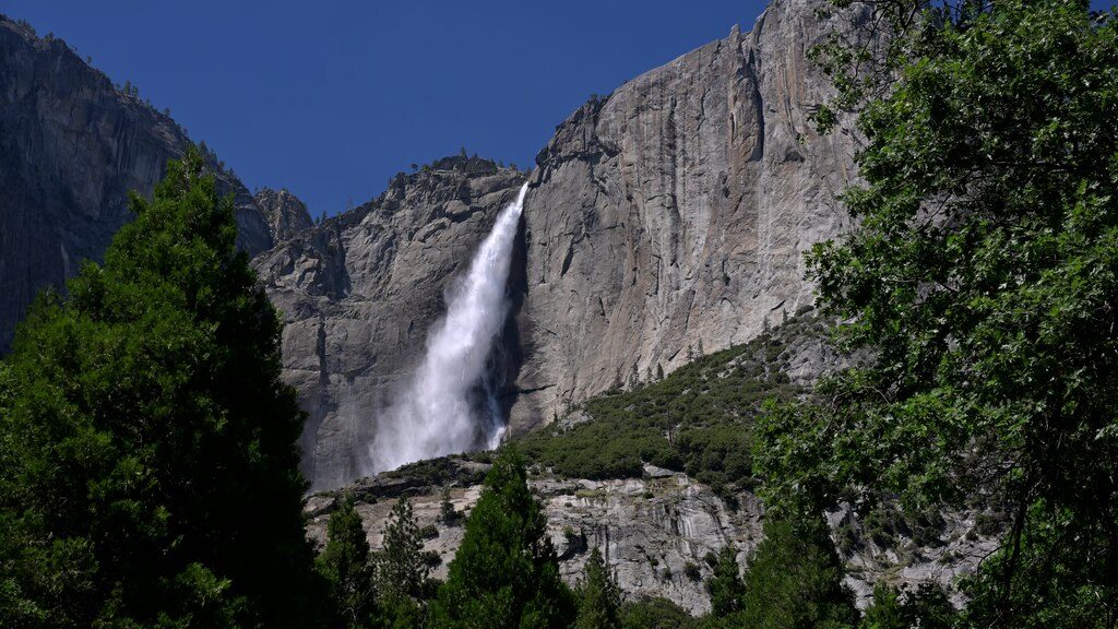
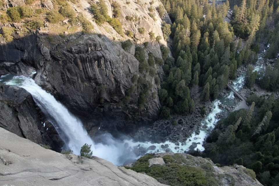
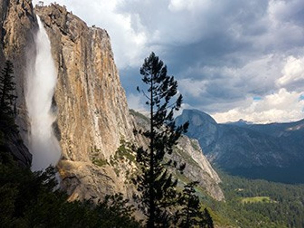
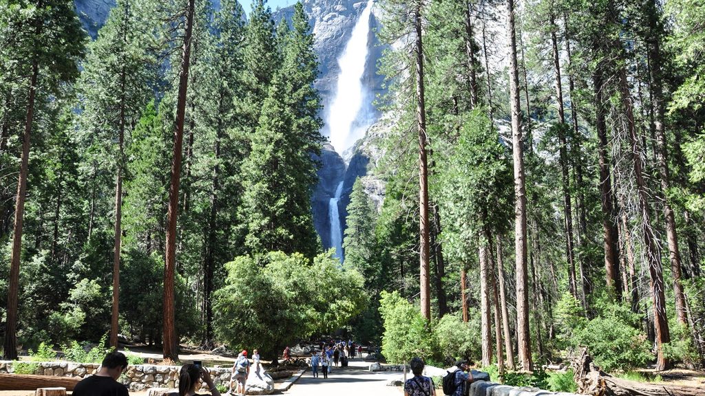
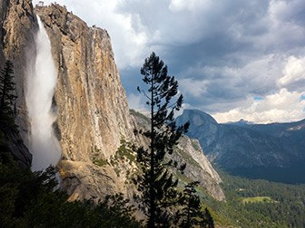
Oh My Gosh Point is an unofficial perch along the Yosemite Falls Trail between Columbia Rock and the Upper Yosemite Falls route. It’s not signed, but it’s famous for that gasp-inducing, straight-into-the-Valley view—and in spring/early summer, a dramatic side angle on thundering Yosemite Falls.
The Hike (quick stats)
- Trailhead: Yosemite Falls Trail across from Camp 4 (day-use parking across from the campground or ride the Valley shuttle to Stop 7).
- To Columbia Rock: ~1 mile, ~1,000 feet up via tight switchbacks—short, steep, and sustained.
- Columbia Rock to Oh My Gosh Point: ~0.4 mile one-way; a brief ~175 feet of climbing, then mostly downhill to the viewpoint.
- Typical out-and-back to Columbia Rock + Oh My Gosh Point: ~2.9 miles total, ~1,300 feet gain, plan on 2–3 hours depending on photo stops and fitness.
- Difficulty: Short but stout. Poles help on the grade and descent.
What You’ll See
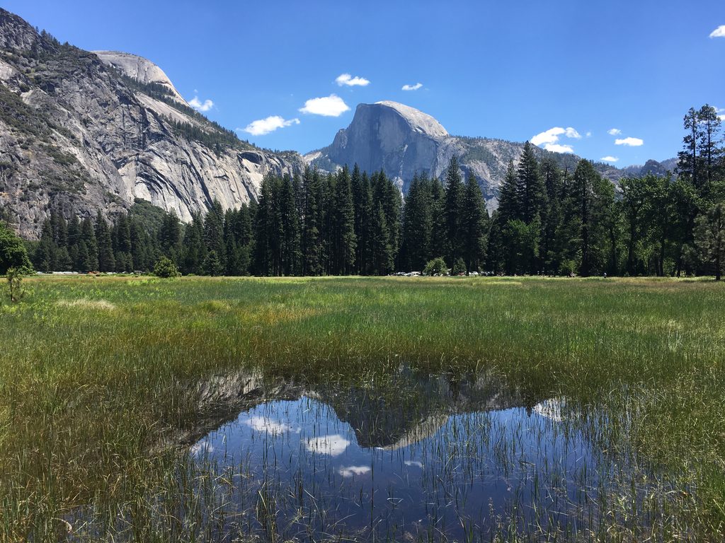
Expect sweeping, classic Yosemite Valley scenery from a high, airy vantage. In high-flow months, you’ll also catch a thrilling side view of Yosemite Falls—and sometimes cool mist as you near the point. When the falls fade in late summer or fall, the vista is still worth the effort.
Best Time to Visit
- Waterfall season: Late spring to early summer is prime; late summer/fall can be a trickle or dry.
- Light for photos: Morning is cooler but often puts the sun in your face here; mid-to-late afternoon gives nicer angles.
- Crowds: Start early to beat parking bottlenecks and trail traffic. Peak season brings more people; winter is quieter but access and conditions vary.
Logistics
- Parking/shuttle: Use the Yosemite Falls Parking day-use lot across from Camp 4 or the Valley shuttle (Stop 7).
- Restrooms: None on the trail—go before you start. Valley restrooms near Lower Yosemite Fall and Yosemite Valley Lodge are reliable pre-hike options.
- Navigation: The viewpoint isn’t signed. Bring a downloaded/ GPS map and mark the spot.
- Reservations: Peak-hours entry reservations are sometimes required seasonally—check current NPS conditions before you go.
Safety & Trail Etiquette
- Exposure: Steep drop-offs near the viewpoint—keep back from edges, especially if wet or icy.
- Heat/effort: Limited shade on parts of the climb; carry ample water, sun protection, and snacks; take breaks on the switchbacks.
- Wildlife: Never feed animals; give them space and secure your food.
Geology in View
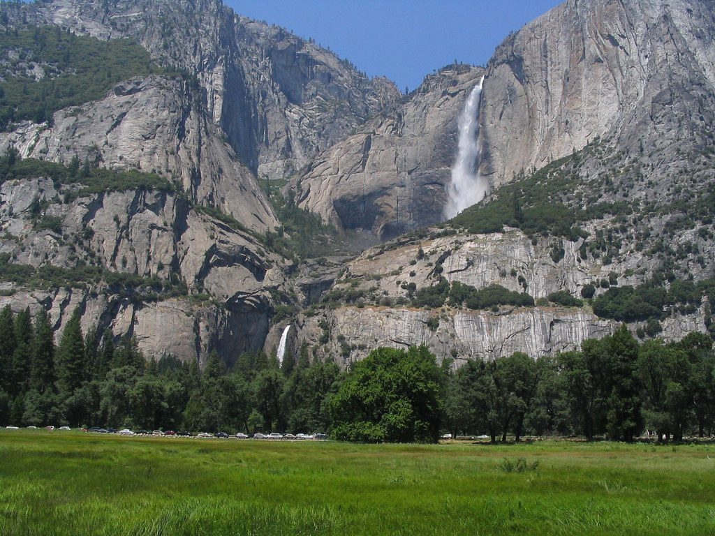
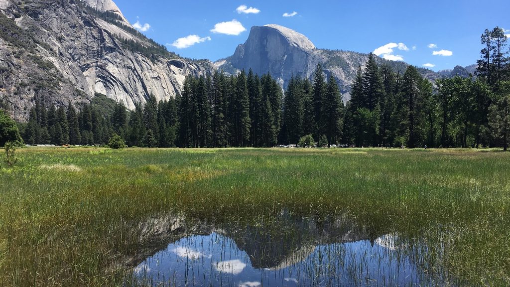
From this perch you’re looking across a classic U‑shaped glacial canyon carved into resilient Sierra Nevada granite. Water, ice, and temperature-driven rock fracturing sculpted the cliffs, domes, and waterfalls that dominate the scene.
Bottom Line
If you’re up for a steep but short workout, this is a fantastic turnaround point with oversized views. In high-flow seasons, it’s downright thrilling; in dry months, it’s still a worthy vista without committing to the full summit push.