Parking
Park in Yosemite Village or Yosemite Falls and start at Visitor Center shuttle stop #5; stop #6 is another access. Sentinel Bridge parking is minimal.

Yosemite National Park, CA
An easy meadow loop with Yosemite Falls and Half Dome views.
Overview
Map & elevation
Plan your hike

“Sentinel Bridge is coming up, with Half Dome framed above the Merced River. Low, still water gives the best chance of a reflection, especially in fall and winter.”
Yosemite Tour Guide
Parkwolf is a GPS audio tour guide for Yosemite National Park. As you drive, it chimes in with what’s ahead: hidden gems, upcoming stops, history, geology, and wildlife, right through your car’s speakers.
See the Yosemite audio tourRecorded for this trailhead
Sentinel Bridge, Cook's Meadow and Yosemite Chapel“Sentinel Bridge is coming up, with Half Dome framed above the Merced River. Low, still water gives the best chance of a reflection, especially in fall and winter.”
Plays as you drive up to this trailhead in the Parkwolf Yosemite Tour Guide.
More stories near here in the app
“We just drove through Yosemite and it made our trip listening to this app as we drove through. Like having a tour guide in the car with you.”


Trail guide
Cook’s Meadow Loop is a flat, easy circuit over a paved bike path and meadow boardwalk, with Yosemite Falls and Half Dome in view. Starting at Yosemite Valley Visitor Center shuttle stop #5, the full mapped walk is about 1.3 miles and takes roughly 30 to 45 minutes, including the short out-and-back onto Sentinel Bridge. A one-mile figure is also published for this loop; plan for the longer distance shown here. It is a good short walk when you want open Valley scenery without a climb.
Walk west from the visitor center toward Lower Yosemite Fall. At shuttle stop #6, cross the street and continue on the bike path, bearing left at the fork. At the Sentinel Bridge parking area, walk onto the bridge for the Half Dome view, then return to the lot. Follow the boardwalk across Cook’s Meadow, cross two streets, and turn right to return to the visitor center.
The meadow floor holds sediment left by glaciers and rockfalls. Water from the high country filters beneath the Valley floor and helps keep the meadow wet. Stay on the boardwalk and paths; walking into the meadow damages plants and the habitat they support.
The meadow is named for the Cook family, Yosemite-area business owners in the late 1800s. Its black oaks are significant to the Ahwahneechee people. Flycatchers, red-winged blackbirds, hawks, jays, butterflies, and dragonflies have been observed here, though sightings vary with season and conditions.
The route is open year-round and wheelchair accessible when it is not covered in snow. The boardwalk can be slippery when wet, frosty, or snow-covered. Dogs are allowed on the paved path and boardwalk on a leash no longer than six feet; keep them out of meadow grass. There is no drinking water or restroom along the walk; use facilities at the visitor center or near Lower Yosemite Fall. Park in Yosemite Village or Yosemite Falls and start at stop #5; stop #6 is another access point. Parking at Sentinel Bridge is minimal.
Wildlife
 732 sightingsBlack BearMost seen around 7 PMSighting map
 1,747 sightingsMule DeerMost seen around 6 PMSighting map
 332 sightingsCoyoteMost seen around 7 PMSighting map
 11 sightingsPeregrine FalconMost seen around 8 AMSighting map
 276 sightingsPikaMost seen around 8 AMSighting map
 677 sightingsYellow-bellied MarmotMost seen around 8 AMSighting map
Sighting maps show where each species has been reported across Yosemite. Wildlife moves, so no sighting is guaranteed.
Keep exploring
 EasyLower Yosemite Fall Trail1 mi · 30 min · 0.5 mi awayA short paved loop to the base of Yosemite Falls
 ModerateYosemite Valley Loop Trail11.5 mi · 6 hr · 0.5 mi awayA long, mostly level circuit beneath granite walls and valley waterfalls.
 ModerateYosemite Valley Loop Trail (Half Loop)7.2 mi · 3 hr · 0.5 mi awayA mostly level traverse beneath Three Brothers and El Capitan.
 ChallengingYosemite Falls Trail7.2 mi · 7 hr · 0.9 mi away60 switchbacks climb to the top of Upper Yosemite Fall
 ChallengingEl Capitan Trail via Yosemite Falls15.4 mi · 10 hr · 0.9 mi awayA full-day summit hike past Yosemite Falls to El Capitan.
 ChallengingEagle Peak Trail12.6 mi · 8.5 hr · 0.9 mi awayA long climb to Eagle Peak’s view across Yosemite Valley.
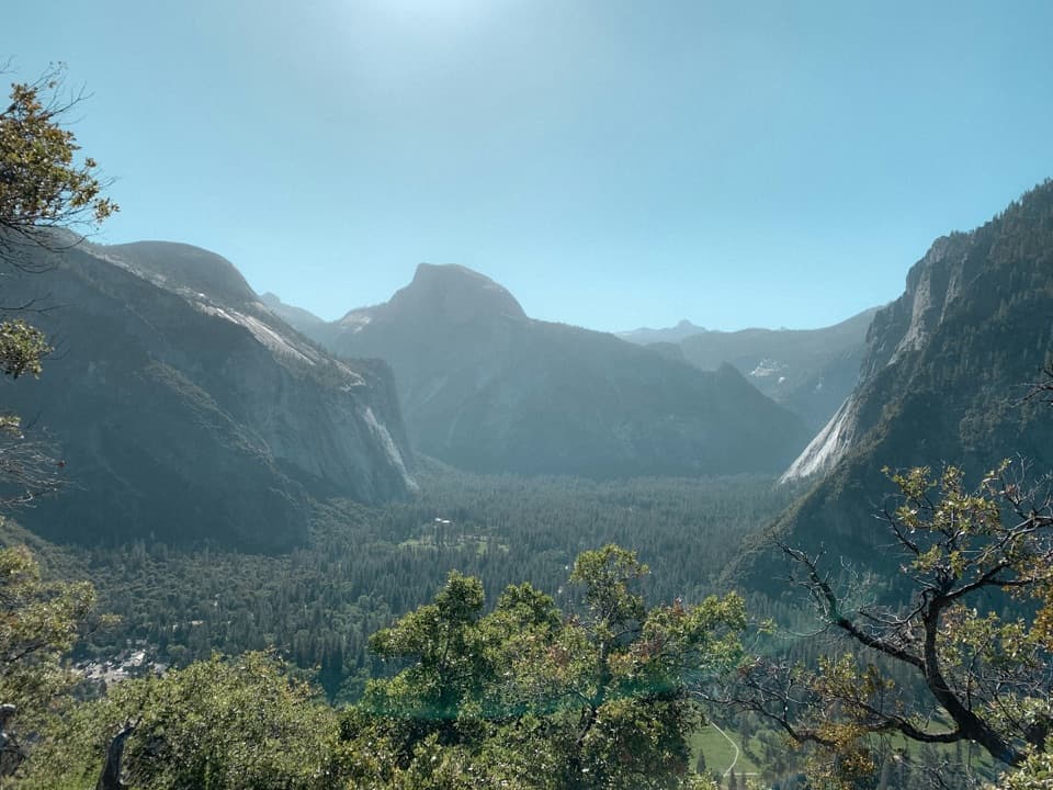 ModerateColumbia Rock Trail2 mi · 2.5 hr · 0.9 mi awayA steep mile opens Yosemite Valley and Half Dome in one sweep.
 ChallengingEastern North Rim Traverse18.1 mi · 12.5 hr · 0.9 mi awayOne-way rim traverse from Yosemite Falls to Mirror Lake via North Dome.
 Sight · 0.1 mi awayYosemite MuseumBaskets, Miwok-Paiute history, and a reconstructed village in one stop.
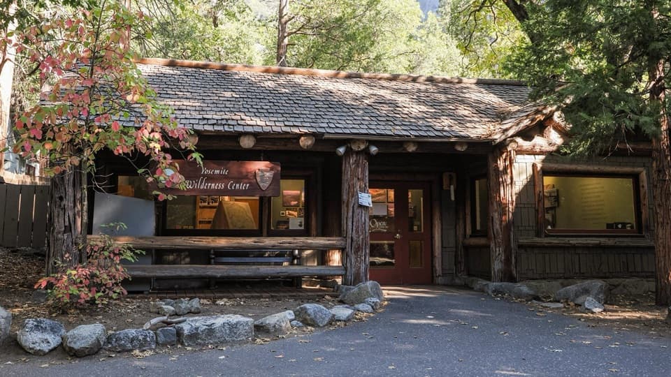 Ranger station · 0.1 mi awayYosemite Valley Wilderness CenterGet permits, bear canisters, and ranger advice before a backcountry trip.
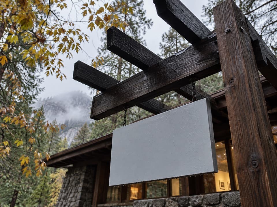 Sight · 0.1 mi awayThe Ansel Adams GalleryOriginal Adams photographs and practical camera lessons.
 Sight · 0.1 mi awayYosemite Exploration CenterA focused indoor stop for the valley’s history, geology, and wildlife.
 Sight · 0.1 mi awayYosemite CemeteryA small cemetery holds the people behind the valley’s early story.
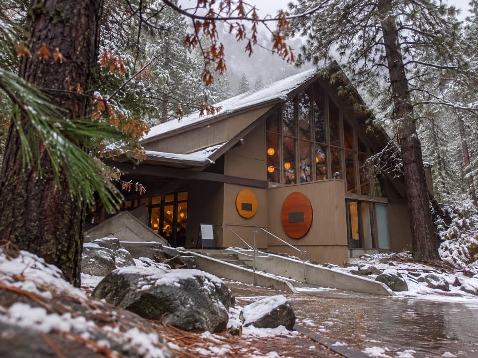 Food · 0.1 mi awayDegnan's KitchenFast-casual Yosemite Village food stop for sandwiches, pizza and coffee.Sight · 0.1 mi awayCook's MeadowA level meadow walk gives you the classic Half Dome view.
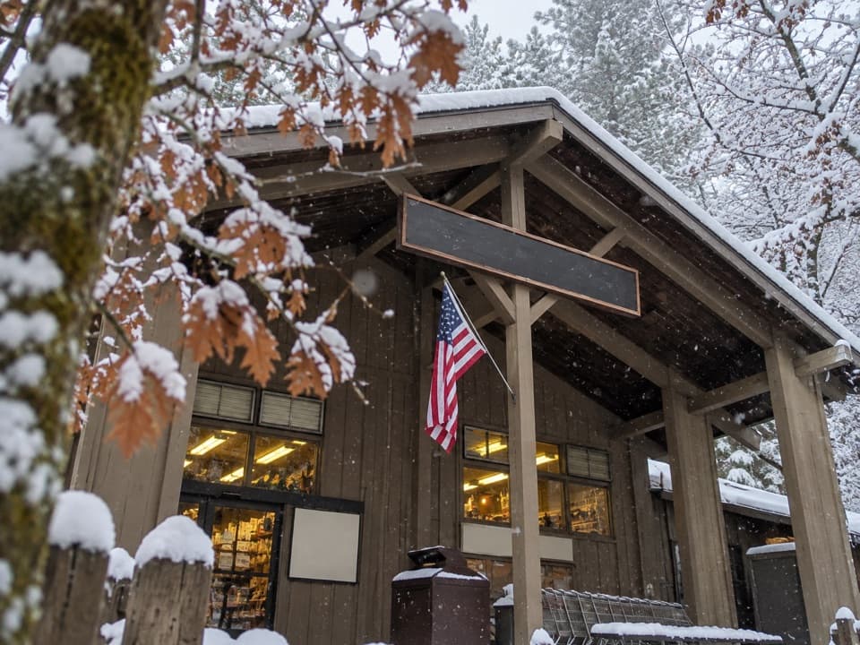 Store · 0.2 mi awayVillage StoreGroceries, camp supplies and gifts under one roof.
Parkwolf’s Yosemite ranking

The audio tour guide for the drive, plus offline maps, trails, and wildlife heatmaps for when the signal drops.




