
Place · 1.3 mi away
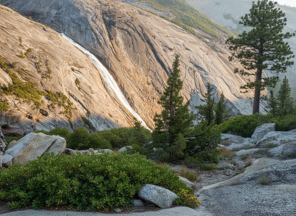
Pywiack Cascade (aka Slide Falls) is a stealthy, 600-foot sliding waterfall at the head of Tenaya Canyon. Fed by Tenaya Creek from Tenaya Lake, it pours over glacially polished granite—exactly what its name, “Pywiack,” nods to. It’s gorgeous, seasonal, and a bit of a scavenger hunt.
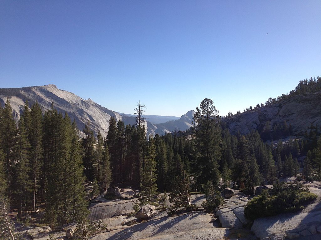
There’s no sanctioned route to the base, and Tenaya Canyon itself is rugged and technical. The sensible way to see Pywiack is from the canyon rim via Olmsted Point on Tioga Road (signpost T24). A lightly defined path drops roughly 500 feet over nearly 2 miles through pine forest and past reflective ponds before climbing to overlooks along the rim. Plan on about 5–6 miles round-trip depending on how many viewpoints you poke around. Expect that the official path yields partial angles—often only half to two‑thirds of the waterfall—unless you carefully scramble for better gaps.
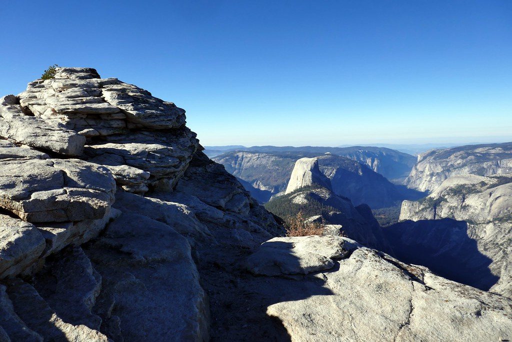
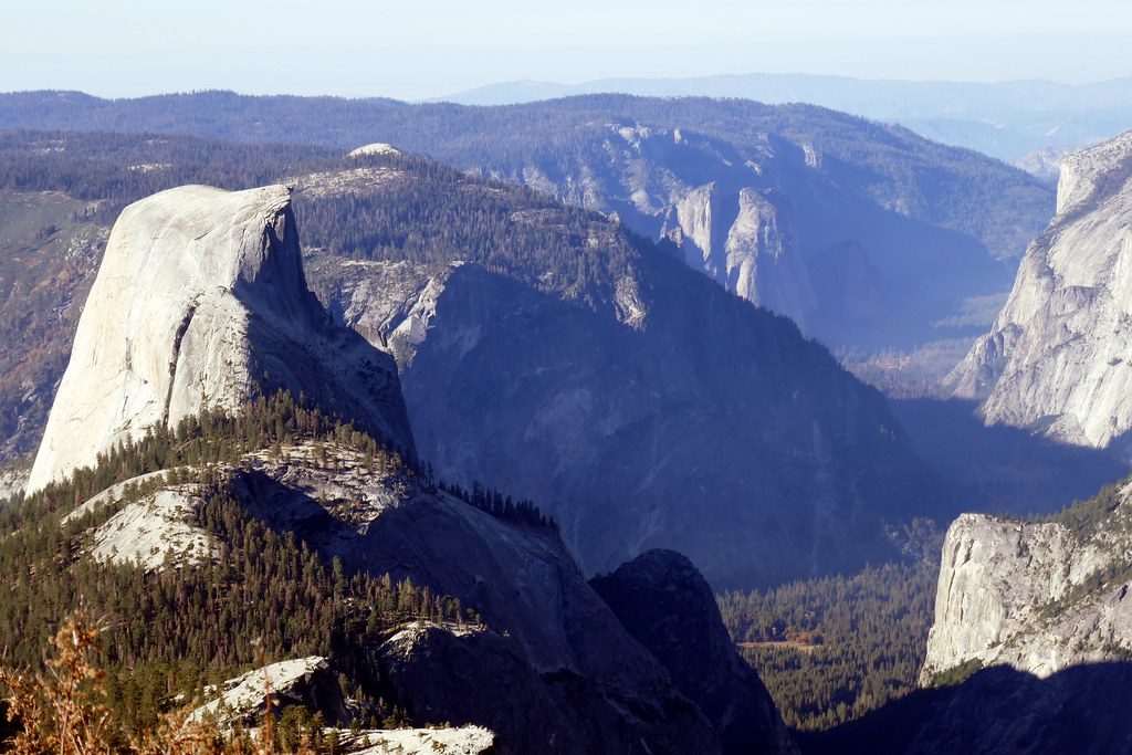
If you’d rather keep it simple, you can spot the cascade from Glacier Point (signpost G11) or from the Sentinel Dome area (trailhead at G8), but it’s distant—bring a telephoto lens. You can also glimpse it during the Half Dome hike from the south side of Tenaya Canyon around 6–7 miles in, though that’s a strenuous all‑day outing that’s overkill if Pywiack is your sole target.
Tenaya Creek is snowmelt‑driven. Late spring into early summer is the sweet spot; by mid to late summer the flow often dwindles. Tioga Road—your access to Olmsted Point—typically closes for winter and doesn’t reopen until late spring or early summer, so time your visit accordingly.
This is a telephoto subject from the distant lookouts, and even from the rim you’ll want reach to flatten the distance and isolate the sliding sheets of water. Early and late light help with contrast on the polished granite. Don’t expect a full-frontal composition without careful scouting; obstructions are part of the game here.
Keep an eye (and ear) out for sooty grouse in the forested approach. In late spring and early summer, the high country pops with Sierra wildflowers—paintbrush, Sierra stonecrop, royal penstemon, monkeyflower, and even snowplant along the way.
Do not descend Tenaya Canyon without technical skills and gear; it’s not a casual outing. Granite slabs can be slick when wet, winds can be gusty near the rim, and route‑finding gets real if you leave the faint path. Treat this as a rim‑view objective, not a canyon descent.
Late spring on a clear weekday is ideal—snowmelt boosts the flow, Tioga Road is usually open, and crowds are light compared to Yosemite Valley. Aim for morning or late afternoon for softer light and to avoid midday glare on the polished granite.
Place · 1.3 mi away
Place · 1.6 mi away
Place · 2.6 mi away
Place · 2.6 mi away
Challenging · 1.3 mi away
Easy · 1.6 mi away
Challenging · 2.9 mi away
Challenging · 3.1 mi away

Parkwolf Tour Guide
