Clouds Rest

A big, rewarding summit with 360-degree views above Half Dome
Clouds Rest, Yosemite National Park
InsideYosemite National Park

Overview

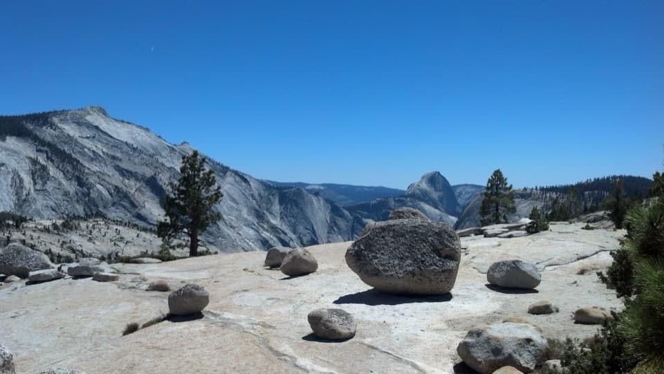
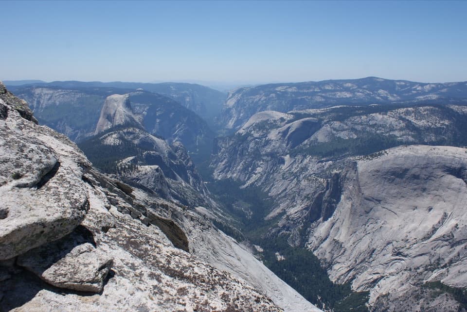
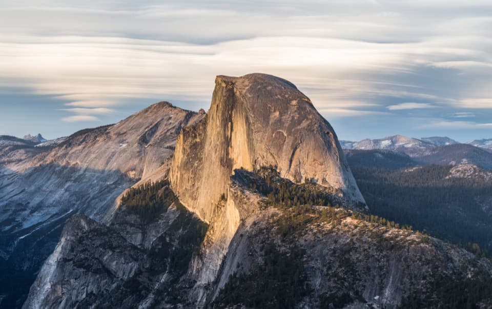
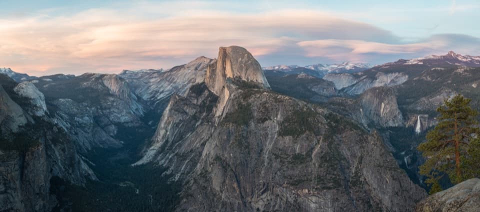
Clouds Rest is the big, rewarding summit people pick when they want Half Dome-level views without the cables or permit chase. From nearly 10,000 feet, you look down on Half Dome, Tenaya Canyon, and the high country—true 360-degree scenery and one of the most satisfying day hikes in the park.

The Hike, At a Glance

Most day hikers start from the Sunrise Lakes trailhead on Tioga Road near Tenaya Lake. Expect roughly 12.4–14.5 miles round trip with about 3,100 feet of gain. The day breaks into three acts: a mellow start, a hard early climb (about 1,000 feet in a mile), rolling middle miles, then a steady push to the summit ridge. Plan on a full day—7–10 hours depending on fitness, weather, and how long you linger on top.

The Summit Ridge (“Spine”)

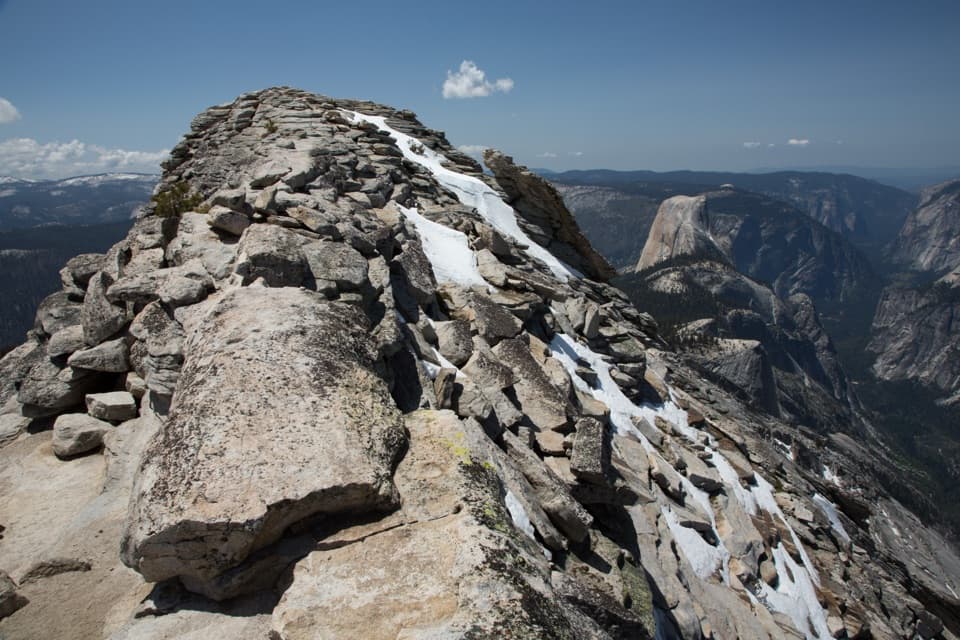
The last few tenths of a mile get airy with drop-offs on both sides. It looks scarier than it feels for many hikers. If exposure isn’t your thing, keep to the left of the crest where a wider path avoids the literal knife-edge. Skip the ridge if strong winds or thunderstorms build.

Season and Access

This route depends on Tioga Road, which typically closes for winter and can stay closed into early summer. Prime hiking season is generally June–October, but always confirm current road and trail conditions before committing.

Permits and Regulations

No permit is required to day hike Clouds Rest. Backpacking does require a wilderness permit, and overnight parking restrictions kick in on Tioga Road in fall. Standard park entry requirements apply.

Trailhead Logistics

At the Sunrise Lakes trailhead you’ll find a primitive toilet, bear-proof trash, and food storage lockers, but no potable water. The lot has a decent number of spots yet often fills early; overflow happens along Tioga Road near the turnout. There’s no water on the summit—carry what you need. Natural sources may exist en route, but only rely on them if you’re prepared to treat/filter.

Conditions, Bugs, and Altitude

High elevation amplifies effort; some hikers feel the altitude. Mosquitoes can be intense in spring and early summer—repellent or even a head net can save your sanity. Afternoon thunderstorms are a real risk on summer days; start early and keep an eye on the sky.

Alternatives and Big Days

Ambitious hikers sometimes link a one-way from Tioga Road down into the Valley via the Mist Trail (20+ miles). It’s epic, varied, and requires a shuttle plan and strong legs. For most, an out-and-back from Sunrise Lakes is the sweet spot.

Best Time to Visit

  • Time of year: When Tioga Road is open and snow-free, typically summer through early fall.
  • Time of day: Begin around 6–6:30 AM to secure parking, enjoy cooler temps, calmer winds, and build a margin for weather.
  • Crowds: Lighter early; the ridge can feel slow when busy.
  • Photography: Morning light is kind to Half Dome and Tenaya Canyon; midday brings the widest panoramas but harsher contrast.

Safety Notes

Carry ample water (about 3 liters plus electrolytes), sun protection, layers for mountain weather, and trekking poles if you like stability on steep or rocky sections. Download an offline map—junction signage can read long versus GPS. Be bear aware and use the bear boxes at the trailhead for any scented items you’re not carrying.

Pros

  • 360-degree summit views over Half Dome and Tenaya Canyon
  • No day-hike permit; a great alternative to Half Dome

Cons

  • Strenuous, long day with altitude and a steep early climb
  • Airy ridge near the top; avoid in high winds or storms
  • Trailhead parking fills early and there’s no water there

Tips

  • Start by 6–6:30 AM to beat parking, heat, and afternoon storms.
  • Bring 3 liters and electrolytes; there’s no water at the trailhead or summit.
  • On the final ridge, take the wider line left of the crest if exposure bothers you.
  • Expect mosquitoes in spring and early summer; pack repellent or a head net.
  • Download an offline map; some junction signs read longer than GPS mileage.
The Parkwolf tour guide sitting on a phone mounted in a car

Parkwolf Tour Guide

Like a tour guide in your car.

Save the places you found around Yosemite, then let Parkwolf guide the drive between them.Download Parkwolf on the App Store