
Place · 0.9 mi away
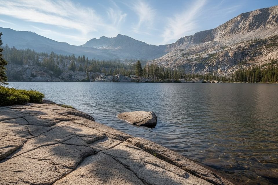
Red Peak sits high in the Clark Range at about 11,700 feet, a remote, rugged summit that rewards strong hikers with solitude and sweeping high-country terrain. It’s commonly paired with the Red Peak Pass Loop, a multi-day backpack that leaves the crowds behind and traverses forests, lakes, and austere granite before reaching the pass.
There’s no dedicated “Red Peak” trailhead. Most parties approach via Glacier Point Road trailheads (Mono Meadow or Glacier Point to Illilouette) or from Yosemite Valley (Happy Isles) when Glacier Point Road is closed. From the Red Peak Pass vicinity, the standard summit is a Class 2 talus/scree climb; depending on your exact line, you may encounter brief Class 3 moves. Strong hikers sometimes tag the summit in a long day push; most weave it into a 4–6 day backpack that includes Lower/Upper Ottoway Lake and Red Peak Pass.
Trailhead logistics matter here: Glacier Point Road trailheads have seasonal closures (typically winter into late spring/early summer), and overnight parking on that road isn’t allowed starting October 15. In the Valley, you’ll park at the trailhead lot near Curry Village and use the shuttle to reach Happy Isles.
Expect a serious high-country outing. The north side of Red Peak Pass can hold snow well into summer—traction and poles are smart when snow lingers, and afternoon conditions can turn mushy. Reviewers note sections that are hard to follow, downed trees, and the occasional missing or damaged bridge that forces alternate stream crossings. Mosquitoes can be heavy near meadows and lakes in season. Dogs aren’t permitted on this route.
Those distinctive red tones come from iron-bearing minerals weathering to iron oxides that tint the rock. The broader Yosemite story—uplift, granitic intrusions, and repeated glaciations—shaped the Clark Range’s domes, passes, and U-shaped valleys you’ll travel through on the way to the peak.
Early maps called it “Red Mountain” during the Whitney Survey era. The California Geological Survey had climbed it by 1870, and in 1920 Ansel Adams placed a Sierra Club register on the summit. The U.S. Board on Geographic Names formalized “Red Peak” in 1932.
This is classic Yosemite high country: think black bears, deer, marmots and pikas, plus high-elevation bird life. Carry and use a bear-resistant canister on overnight trips and keep camp clean.
Mid-July through September typically offers the best window for stable weather and fewer lingering snowfields. Start early on warm days if snow remains near the pass. Glacier Point Road access dictates a lot—when it’s closed, plan on the longer approach from Yosemite Valley and build extra time into your itinerary.
A wilderness permit is required for overnights (reservations open roughly 24 weeks/168 days ahead). Bear-resistant food storage is mandatory. Water is generally available but varies late season—expect reliable sources at Ottoway Creek and the Ottoway Lakes, with some seasonal creeks running dry. Sparse amenities exist en route (e.g., an old outhouse at Buck Camp); otherwise, you’re on your own once you leave the trailheads.
Place · 0.9 mi away
Place · 0.9 mi away
Place · 5.9 mi away
Place · 5.9 mi away
Challenging · 9.4 mi away
Challenging · 9.7 mi away
Easy · 9.7 mi away
Easy · 9.8 mi away

Parkwolf Tour Guide
