
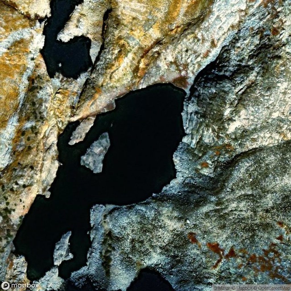
Place · 0.8 mi away
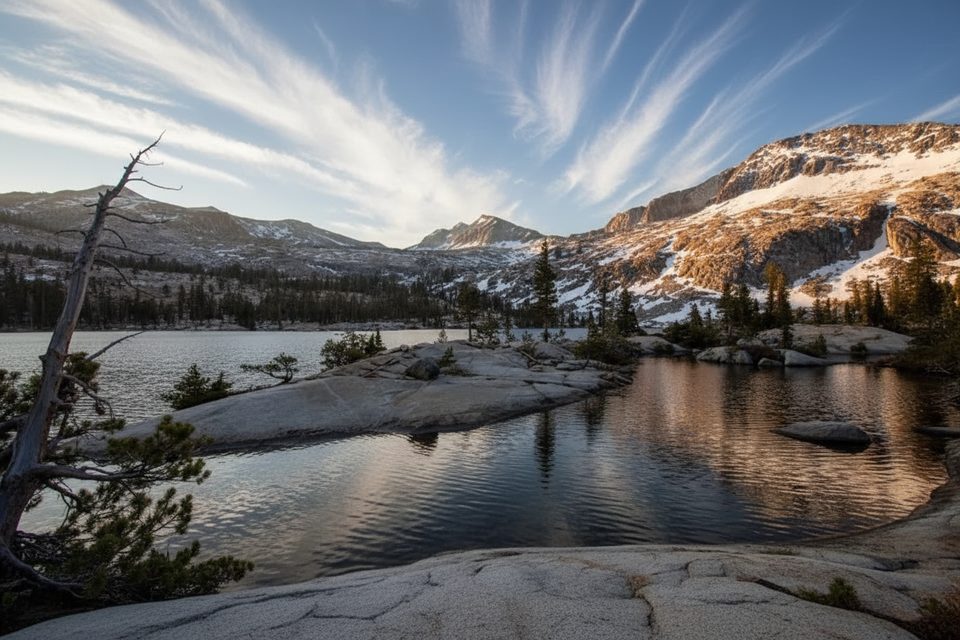
Lower Ottoway Lake is a remote, high-country gem tucked below Red Peak Pass in Yosemite’s Clark Range. Expect a true backcountry experience: clear, cold water, red talus and granite walls, and far fewer people than you’ll find near the Valley. It’s beautiful, but it makes you earn it—this is best as a multi‑day backpack, not a casual day hike.
Most parties start at the Mono Meadow trailhead on Glacier Point Road. You drop quickly—about 2.8 miles—to Illilouette Creek, then settle in for a long, steady climb that stays rolling until the final push. Plan on roughly 28–32 miles round trip with 4,000–5,500 feet of cumulative gain depending on tracking and route variants. The last few miles to the lake bite on tired legs.
Early season often means multiple creek crossings (bring wading footwear and poles); later in summer the midsection can be hot and more exposed with fewer flowing creeks. The lake sits near 9,700 feet, so pace yourself and hydrate—altitude can sneak up on you.
Lower Ottoway has durable tent sites on granite benches and among lodgepole near treeline—great for a 1–2 night basecamp. From here, day hike to Upper Ottoway Lake or toward Red Peak Pass for bigger views. Upper Ottoway is beautiful but notoriously windy and exposed, so most people sleep lower. Logical first‑night camps exist along Illilouette Creek on the way in. Backpackers Campgrounds in the park can be used the night before or after your trip.
The prime window is typically mid/late July through September when the route is snow‑free. Earlier, expect higher creek crossings and lingering snow near Red Peak Pass. July mosquitoes can be brutal—bring a head net and strong repellent. Afternoon thunderstorms are possible; pack rain gear and plan to be off high, exposed terrain by mid‑afternoon.
This is classic High Sierra: glacier‑carved cirque, granite slabs, and the distinctive red talus above the basin. Look for mule deer, marmots, ground squirrels, and Clark’s nutcrackers; black bears are more common lower down, so keep your food locked down. Wildflowers light up wet ledges and meadows mid‑ to late summer. Anglers report fun catch‑and‑release action for smaller trout along the shores.
A Yosemite wilderness permit is required for overnights. Reservations open months ahead with additional quota released closer to the date; there’s a nominal reservation fee plus a per‑person fee, and you’ll pick up your permit in‑park. A bear canister is required for food storage. There are no facilities at the lake—no toilets, no bear boxes—so practice Leave No Trace (pack out TP, camp 100+ feet from water and trails).
For conditions and comfort, aim for mid/late July–September. Start hiking early to beat heat on the approach and to avoid typical afternoon buildups. This route is rarely crowded beyond the first stretch from Glacier Point Road, so weekdays vs. weekends matter less than your weather and water timing.
Experienced backpackers who want a quieter corner of Yosemite with big alpine payoff, a quality basecamp, and the option to tag Red Peak Pass will be thrilled. If you’re new to backpacking or sensitive to altitude, build in extra days and conservative mileage.
Place · 0.8 mi away
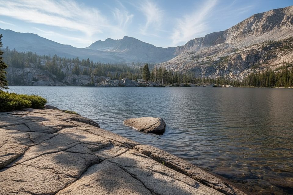
Place · 0.9 mi away
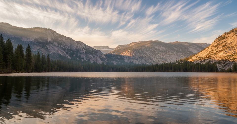
Place · 6.6 mi away
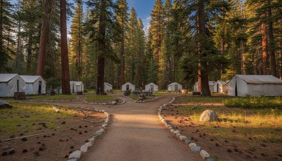
Place · 6.7 mi away
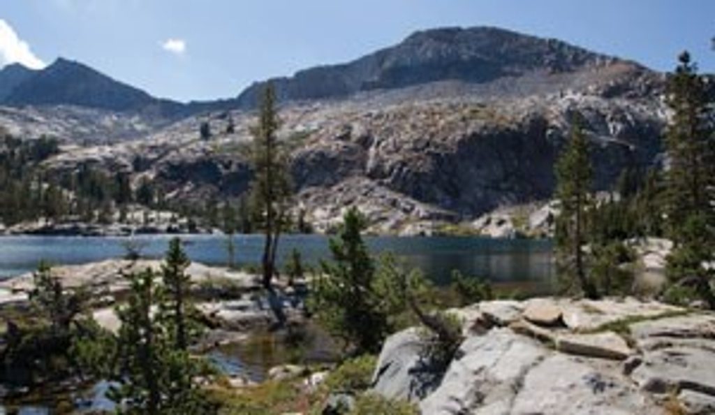
Challenging · 9.3 mi away
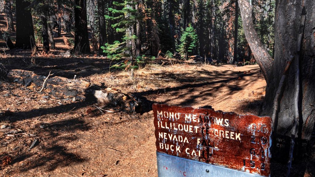
Easy · 9.3 mi away
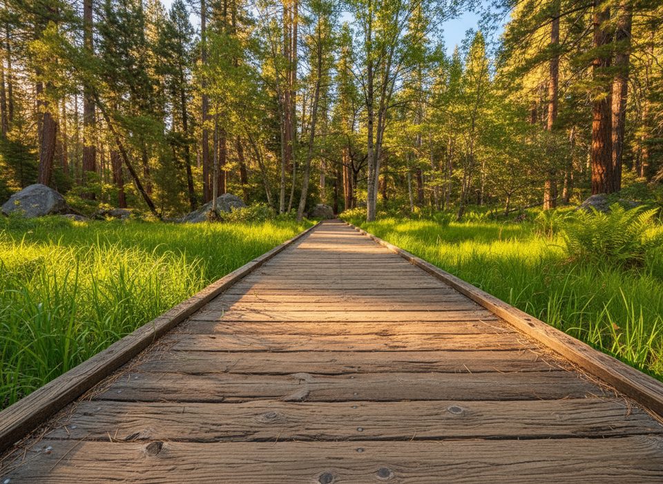
Easy · 9.8 mi away
Challenging · 9.8 mi away

Parkwolf Tour Guide
