
Place · 0.8 mi away
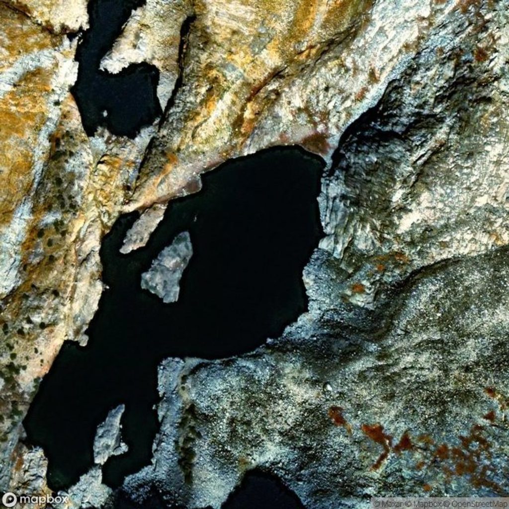
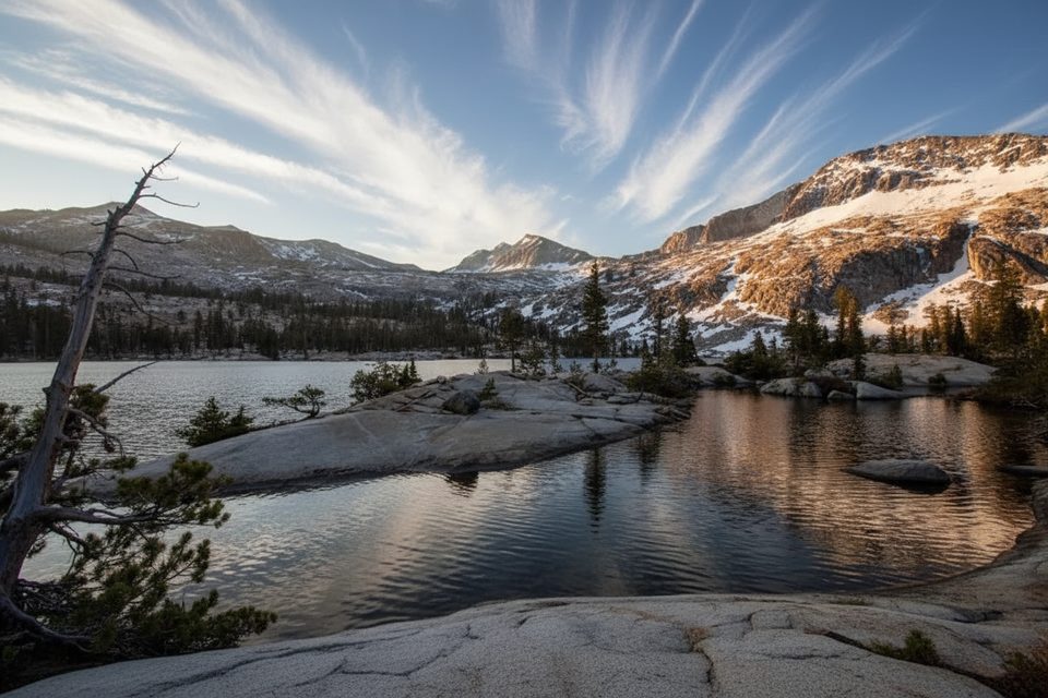
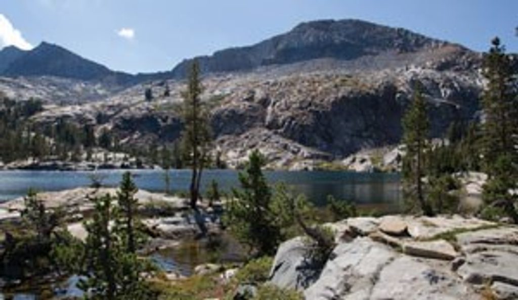
Upper Ottoway Lake is a high, glacially carved basin in the Clark Range, perched just above Lower Ottoway and beneath Red Peak. It’s the kind of place that feels far from everything: stark granite, turquoise water, sparse subalpine trees, and huge sky. If you want Yosemite’s alpine drama without valley crowds, this is a superb target—so long as you’re ready for a real backpacking effort.
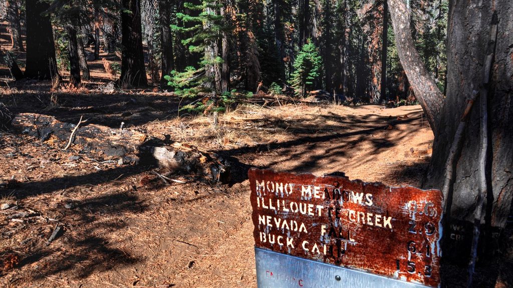
Most backpackers reach the Ottoways from Glacier Point Road—either via the Mono Meadow trailhead or by starting near Glacier Point and following Illilouette Creek. Another option begins in Yosemite Valley (Happy Isles) and climbs to the Illilouette. However you slice it, plan on roughly 30 miles round‑trip and about 5,000–5,100 feet of total elevation gain, typically done over 3–5 days. Expect the climb to the Ottoways to feel stout; many parties take two days to reach the lakes, enjoy a layover day, and then hike out.
The route mixes forests, meadows, and long creek‑side stretches before a sustained ascent into the alpine. Upper Ottoway sits in a classic High Sierra cirque with talus, wildflowers in season, and wide‑open views toward the crest. Wildlife is typical of Yosemite’s high country—think mule deer, marmots, and high‑elevation birds—so keep your food locked down and your camera handy.
Overnight trips require a Yosemite wilderness permit (reservations open 24 weeks in advance; a portion of quotas are released closer to the date). This is full wilderness: there are no toilets, trash service, or food lockers at the lake. A bear‑resistant canister is required for food storage. Backpackers may use designated Backpackers Campgrounds the night before or after their trip.
Early summer often brings multiple creek crossings—bring footwear you don’t mind getting wet. Mosquitoes can be fierce in July; head nets and repellent are worth their weight. Altitude can bite around 8,500–10,000 feet, so pace conservatively and hydrate. Glacier Point Road trailheads have no vehicle access when the road is closed, typically from sometime in November to late May or June, and overnight parking on Glacier Point Road isn’t allowed beginning October 15. Plan your start point around current road status.
You’ll find pleasant camps along Illilouette Creek on the way in and options near the lakes. Treat all water. Don’t expect amenities beyond some trailhead basics (select Glacier Point Road trailheads have vault toilets and food lockers); once you’re on trail, it’s pure backcountry. At the lakes themselves, follow Leave No Trace—pack out all trash and toilet paper and camp at least 100 feet from water and trails.
Late July through September usually offers the most reliable access with lower water crossings and fewer bugs than early summer. Weekdays see fewer people on popular approach segments. For photography, morning and evening light are best on the surrounding granite and Red Peak. If you’re aiming for shoulder seasons, verify road openings and be ready for lingering snow.
Use a two‑day approach to arrive strong at the lake, then take a layover day to explore toward the crest (such as the area near Red Peak Pass) or settle in for golden‑hour photography. On exit, consider breaking the return with a final camp near the Illilouette corridor if you want to avoid a punishing last day.
Place · 0.8 mi away
Place · 0.9 mi away
Place · 6.7 mi away
Place · 6.7 mi away
Challenging · 10.1 mi away
Easy · 10.1 mi away
Challenging · 10.3 mi away
Easy · 10.5 mi away

Parkwolf Tour Guide
