
Place · 0.7 mi away
Easy
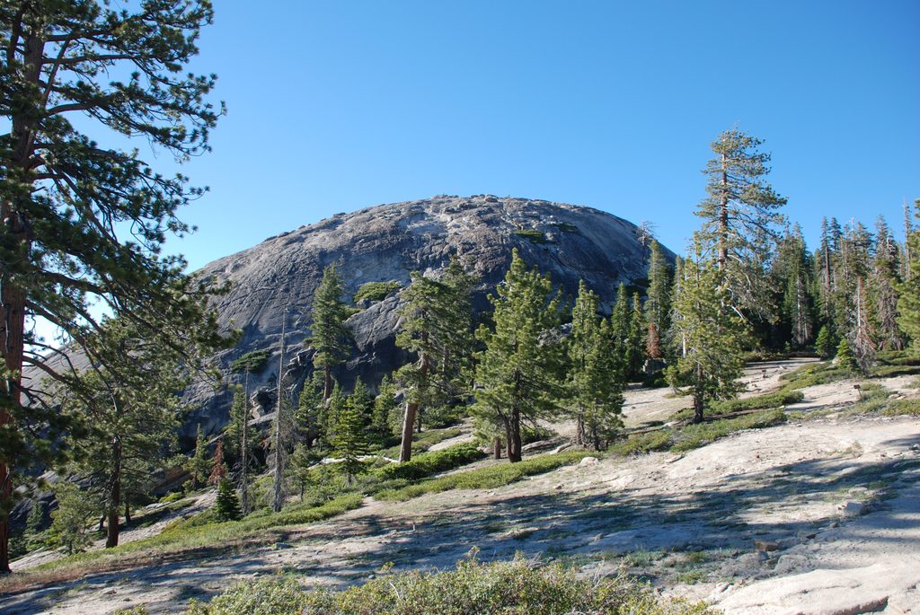
If you want maximum views for minimal effort, this is your hike. The Sentinel Dome Trail is a short, generally easy to moderate out-and-back that delivers a true 360-degree panorama from a broad granite summit. It’s roughly 2.2 miles total (round-trip) with about 400 feet of elevation gain, and most hikers take 1–2 hours.
You’ll start in light forest before the path transitions to dirt and open granite. Shade is limited, and footing can be a mix of packed soil, loose rock, and slick granite if it’s wet or icy. The finish is a short, steeper walk up the dome itself—choose your line on the clean granite and you’re on top. The summit is expansive but drops steeply near the edges, so keep your wits about you.
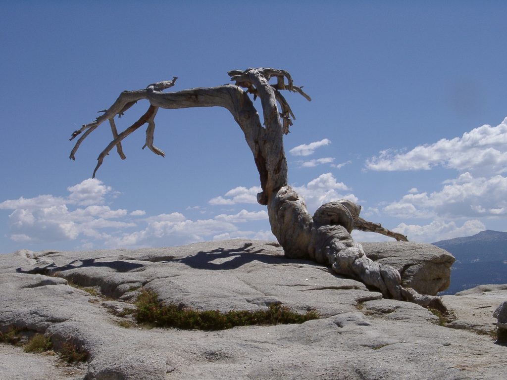
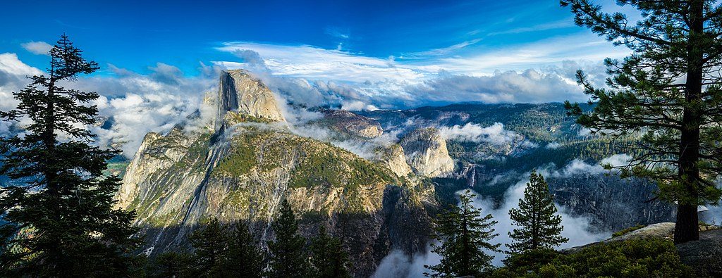
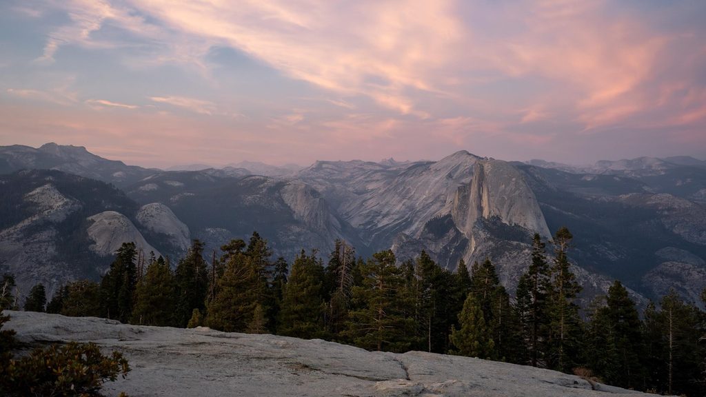
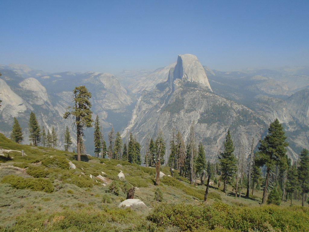
From the top, sweep your eyes across Yosemite Valley to El Capitan and Yosemite Falls, swing to Nevada Fall, Half Dome, Clouds Rest, and a spread of High Sierra summits. It’s a classic viewpoint with an outsized effort-to-reward ratio. The summit was once home to the Jeffrey pine made famous by an Ansel Adams photograph; the tree died in 1977 and fell in 2003—still a fun piece of trail lore.
The trailhead sits along Glacier Point Road and is accessible only when that road is open—typically late May through October or November. Expect lingering snow or wet patches early in the season even after the road opens. At ~7,700–8,100 feet, the altitude can make the short climb feel punchier on your first day; pace yourself and hydrate.
Parking is at the shared Sentinel Dome/Taft Point trailhead. The lot is small and popular, with pit toilets and food storage lockers; it fills quickly on busy days. There’s no water on the trail, and little shade—bring what you need. For a quicker approach, a signed service road about 0.7 miles east of the main lot can shorten the walk to the base of the dome, but you’ll still climb the final granite.
Granite becomes slick when wet or icy, and winds often pick up on the summit, especially near sunset. Stay off domes during thunderstorms. The summit is broad but the sides drop away fast—watch your footing and keep kids close.
Early morning offers cooler temps, easier parking, and calm air. Sunset is spectacular from here—arrive with extra time to enjoy the shifting light on Half Dome and then turn west for the show, but carry a headlamp for the descent and an extra layer for the summit breeze.
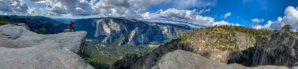
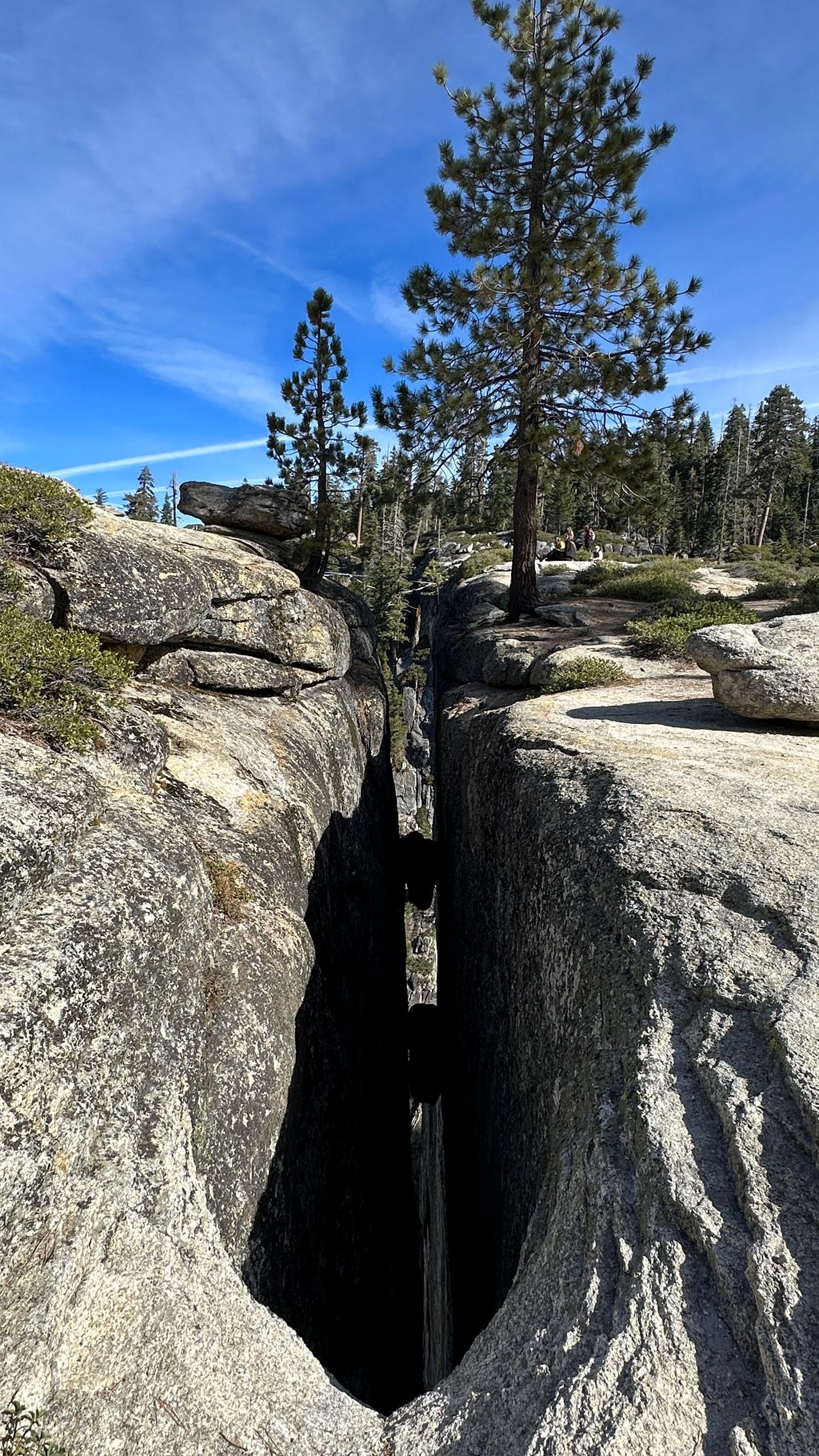
Link Sentinel Dome with nearby Taft Point via the Pohono Trail for a bigger outing with different perspectives (about 5.5 miles total). Taft Point adds dramatic views of El Capitan, Yosemite Falls, and the famous fissures. Note: pets are not allowed on these trails.
Park at the shared Sentinel Dome/Taft Point trailhead on Glacier Point Road; small main lot with overflow pullouts nearby. Pit toilets and food storage lockers available; arrive early as it fills.
Stay off domes during thunderstorms; the final granite is slick when wet/icy and edges drop steeply. Early-season snow may obscure the path. Little shade, often windy, and no water—pack layers and carry what you need.
Place · 0.7 mi away
Place · 0.9 mi away
Place · 1 mi away
Place · 1 mi away
Moderate · 0 mi away
Easy · 0 mi away
Easy · 1.2 mi away
Challenging · 1.3 mi away

Parkwolf Tour Guide
