Overview
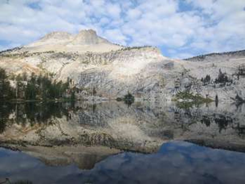
This is the jumping-off point for Yosemite’s Ten Lakes country—a classic High Sierra route to a glacial basin dotted with alpine lakes. Expect a stout day: roughly 12–13 miles round-trip to the first lakes, with about 2,700–3,000 feet of total gain. The climb to Ten Lakes Pass delivers wide-open views across the Grand Canyon of the Tuolumne; beyond, a steep, rocky descent drops you into the lake basin that you’ll have to re-climb on the way out. John Muir called it “a glacier basin with ten glassy lakes set all near together like eggs in a nest.”
What You'll See
- Ten Lakes Pass: Big panoramas toward the Sierra Crest and north over the Tuolumne watershed.
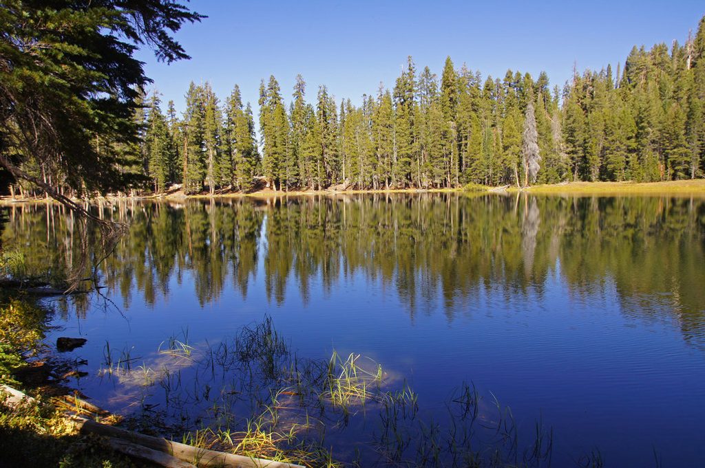
- Ten Lakes Basin: A string of clear alpine lakes; official trails reach only some of them. A signed fork also leads to the two Grant Lakes.
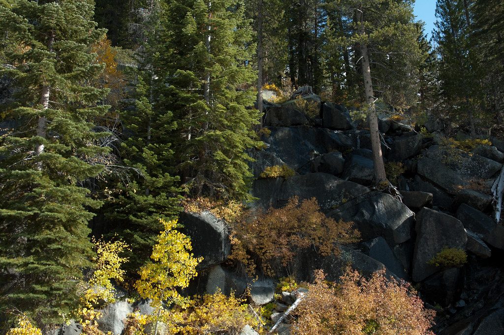
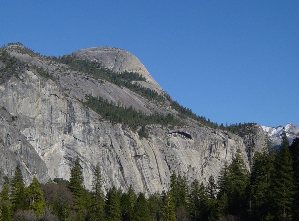
- Terrain: Mixed conifer forest, meadows, and broad granite slabs with occasional cairns guiding the way.
Trail Notes
- Distance & effort: Strong day hikers often take 6–9 hours, depending on how many lakes they visit.
- Key spots: An early granite slab crossing (watch for cairns), a tributary crossing of Yosemite Creek (higher flows early season), and a steep, rocky descent from the pass into the basin.
- Conditions: Snow can linger early/late season; mosquitoes are common in early summer. Natural water sources are frequent—treat or filter.
Facilities & Logistics
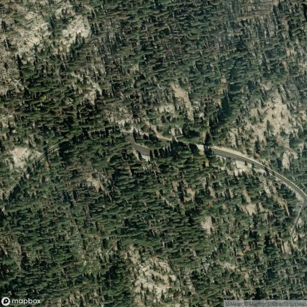
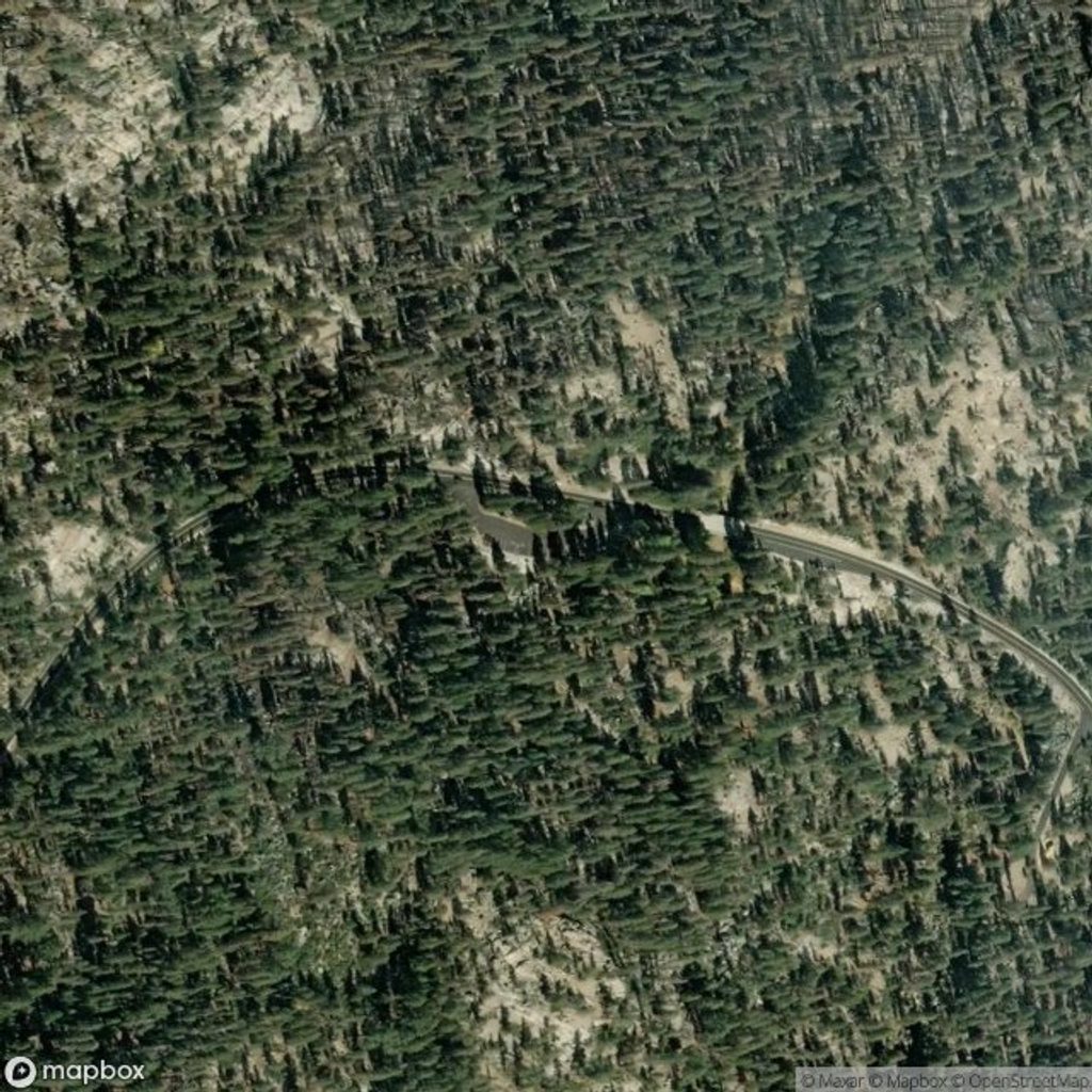
- Location: Along Tioga Road, east of the White Wolf turnoff. Access is only possible when Tioga Road is open (typically late May/June into fall).
- Parking: Two small lots (about 30 cars total) that fill quickly; overflow at a nearby picnic area. Note that overnight parking along Tioga Road corridors closes starting October 15 each year.
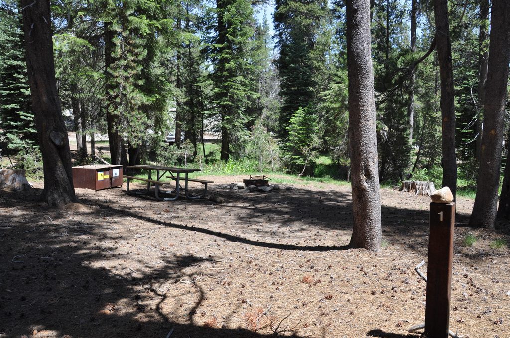
- At the trailhead: Vault toilets and multiple bear-resistant food lockers. No drinking water—arrive stocked or plan to filter on-trail.
- Nearby supplies: Limited goods at White Wolf (~5 miles west); broader options at Crane Flat (~20 miles west) and Tuolumne Meadows (~18 miles east), with limited hours.
Permits & Regulations
- Day hiking: No wilderness permit needed.
- Overnight: Wilderness permits are required for backpacking from this entry trailhead; bear-resistant food storage is mandatory.
- General: Stay on established trails, pack out all trash, and expect bear activity in the area.
Best Time to Visit
- Season: After the first week of June is usually best for snow-free travel; the window lasts until Tioga Road closes in late fall.
- Daily timing: Start early for cooler temps, surer parking, and easier navigation over the granite slab. Afternoon light can be lovely at the lakes, but budget time and energy for the climb back to the pass.
Wildlife & Safety
- Bears are active—use the trailhead lockers and proper storage in the backcountry.
- Anglers report trout in the lakes; if you’re fishing, know and follow current regulations.
- Trekking poles help on the steep, rocky descents/ascents; carry layers for wind and sudden weather at the pass.