
Place · 0 mi away
Moderate
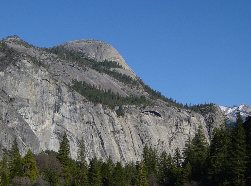
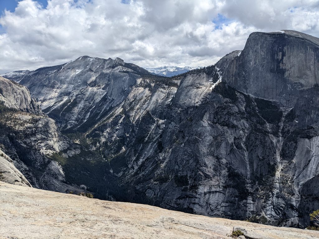
If you want the classic, up-close look at Half Dome without the crowds of the Valley overlooks, North Dome is your move. Starting from the Porcupine Creek Trailhead on Tioga Road, this out-and-back rolls through mixed conifer forest before delivering you onto broad granite with sweeping views of Half Dome, Clouds Rest, Tenaya Canyon, and Yosemite Valley. Expect roughly 9.2 miles round-trip with about 2,000 feet of cumulative elevation change—net downhill on the way out, so save gas for the return climb.
From the Porcupine Creek lot, the signed trail heads through forest and meadows, crossing Porcupine Creek early on. The path undulates over ridges, with intermittent peeks at Half Dome, before a short, steeper descent of rock steps drops you to the base of North Dome. From there, you’ll walk up the slabby granite to the airy summit. The main tread is signed but you may encounter a few unmarked forks or downed trees early season—having an offline map helps avoid backtracking. Typical hiking time is 4–6 hours, depending on pace and detours.
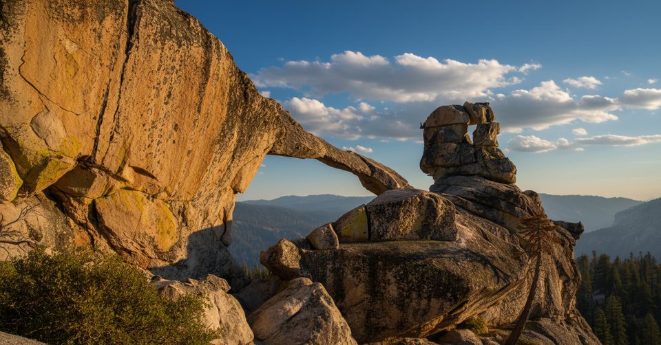
A short detour near Indian Ridge leads to Indian Rock, a rare natural arch in Yosemite. The spur is brief but steeper and absolutely worth the energy for a unique perspective. Many hikers add it on the way back.
Go when Tioga Road is open (generally late spring through fall). Early season can bring shallow stream crossings and lingering snow patches; spring and early summer can mean mosquitoes. Start early for cooler temps, easier parking, and calmer winds on the dome. There’s little to no reliable water on trail, and parts of the route are sun-exposed.
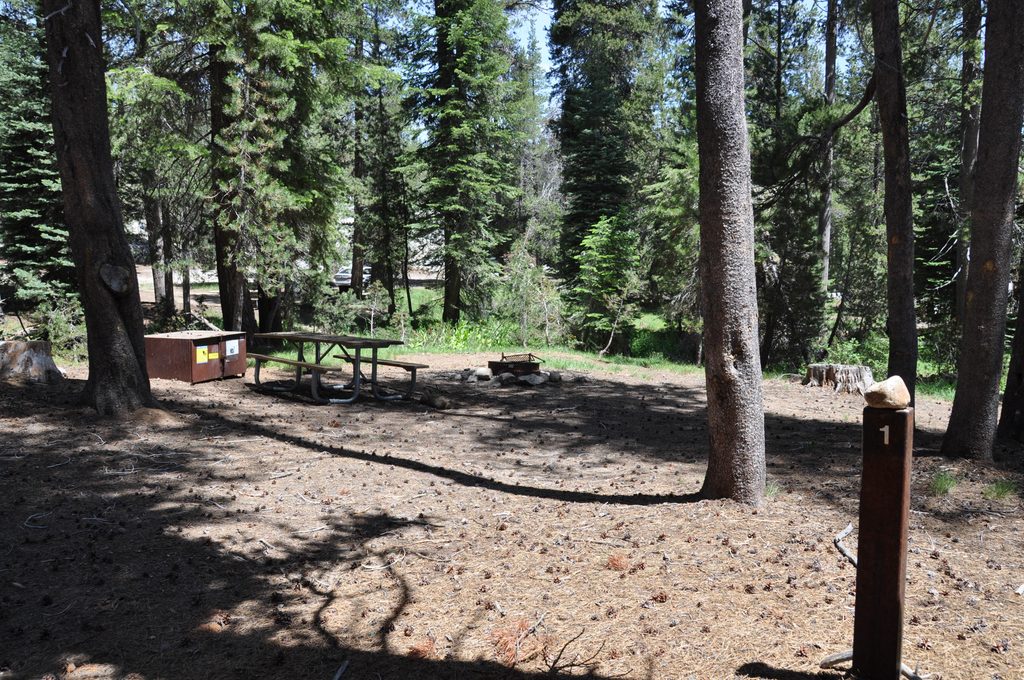
Park at the Porcupine Creek Trailhead on Tioga Road; there’s a pit/primitive toilet and food lockers at the lot, but no other services. It’s roughly an hour from Yosemite Valley and the lot can fill—arrive early. No permit is required for day hiking. Any overnight in Yosemite Wilderness requires a wilderness permit. Sixty percent of permits are released via a lottery 24 weeks in advance; remaining lottery allocations open the Friday after that window closes, and the final 40% are released seven days before the start date.
Expect a brief, steeper section of granite steps near the dome and airy exposure near the edges—mind your footing and keep well back from drop-offs. The rolling profile means you’ll do most of the climbing on the way back. Carry ample water, sun protection, and bug repellent in spring. Occasional rattlesnakes and active bears are reported—give wildlife plenty of space and store food properly at the trailhead. Trekking poles help on the granite and for the return climbs.
When Tioga Road is closed, strong hikers can reach North Dome via strenuous routes from Yosemite Valley (Upper Yosemite Falls or Snow Creek), or link North Dome west to Yosemite Point and descend to the Valley as a big day. These variations are significantly harder and require careful logistics.
Yes. This is one of the park’s best viewpoints—a quieter, head-on look at Half Dome with a classic Yosemite mix of forest walking and granite strolling. Add the Indian Rock arch and you’ve got a memorable day without the permit hurdles of Half Dome.
Porcupine Creek Trailhead on Tioga Road (Hwy 120); trailhead lot with pit/primitive toilet and food lockers. Lot can fill—arrive early; limited roadside overflow.
Rolling terrain makes the return climb stout; brief steep granite steps and airy edges near the dome; limited water; early-season stream crossings; mosquitoes in spring; occasional rattlesnakes and active bears.
Place · 0 mi away
Place · 1.2 mi away
Place · 2.9 mi away
Place · 3.1 mi away
Easy · 3.3 mi away
Challenging · 3.3 mi away
Challenging · 3.5 mi away
Moderate · 3.5 mi away

Parkwolf Tour Guide
