
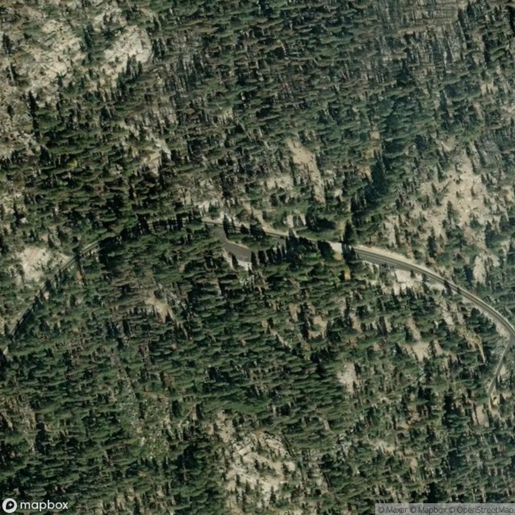
Place · 0 mi away
Challenging
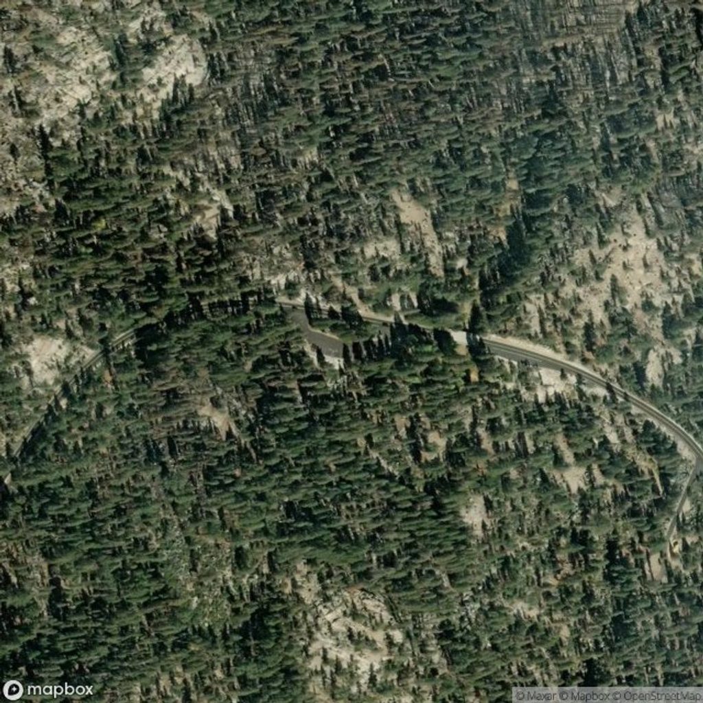
If you’re up for a full-day high-country push, Ten Lakes delivers: a classic Sierra granite landscape, big pass-top vistas, and a basin dotted with small alpine lakes. Expect about 13 miles total (out-and-back) to the Ten Lakes area, with roughly 2,700 feet of total gain. A slightly shorter option (~12 miles round trip) turns off to the first Grant Lake.
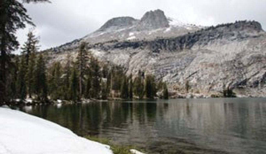
From the Tioga Road trailhead, the path climbs steadily through forest for the first four miles, passing a meadow before switchbacks steepen the grade to Ten Lakes Pass. From the pass, the views open wide across the Grand Canyon of the Tuolumne and surrounding peaks. A steep, rocky descent drops you into the lake basin. Despite the name, only a handful of lakes sit close to the main paths; two are the Grant Lakes reached by a spur near the pass. Even visiting just the nearby cluster makes for a long day, but the scenery—glassy water, pale granite, and sparse high-country forest—is the real deal.
This is rated strenuous primarily for length and elevation. The initial climb is steady, the switchback section to the pass is the crux, and the descent into the basin is steep and rocky (remember, you’ll climb back out). Much of the hike sits between ~7,500 and 9,600 feet, so altitude will add effort.
About a mile in, the trail crosses broad granite slabs where the route can be confusing if cairns aren’t obvious—pay attention, especially in low light. Early or late season can bring lingering snow and higher stream crossings. Mosquitoes can be intense in early summer. Dogs aren’t allowed. For overnights, a wilderness permit is required and proper food storage (bear canister) is mandatory.
Parking is at small lots along Tioga Road near the signed trailhead; they can fill, especially with backpackers. Pit toilets and food-storage lockers are at the trailhead. Water is generally available from lakes and streams in season—carry enough for the climbs and treat everything. Strong navigators can continue beyond the basin on longer multi-day routes linking to May Lake, Tenaya Lake, or Glen Aulin.
Go when Tioga Road is open—typically summer into fall. June and October shoulder seasons can leave snow patches and chillier starts; mid-summer brings the most reliable access but also mosquitoes. Start early for cooler temps, easier parking, and better light on the granite. Keep an eye on afternoon weather; high-country storms can roll through.
You’ll be walking on the Sierra Nevada’s granitic backbone—hard, pale rock formed from ancient magma bodies. Later uplift and deep canyon carving set the stage, and Ice Age glaciers overdeepened high basins, leaving the string of small, perched lakes that make Ten Lakes feel like a nest of blue eggs in granite.
Small lots at the signed trailhead along Tioga Road; they can fill. Pit toilets and food-storage lockers at the trailhead.
Tricky route-finding over early granite slabs; steep, rocky grades near the lakes; lingering snow and higher stream crossings early/late season; altitude exposure and potential afternoon storms; no dogs.
Place · 0 mi away
Place · 0.2 mi away
Place · 0.5 mi away
Place · 2.1 mi away
Easy · 2.2 mi away
Moderate · 3.6 mi away
Challenging · 4.8 mi away
Moderate · 4.8 mi away

Parkwolf Tour Guide
