
Place · 0.1 mi away
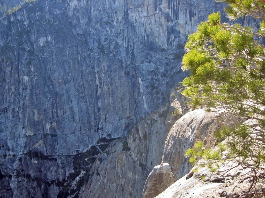
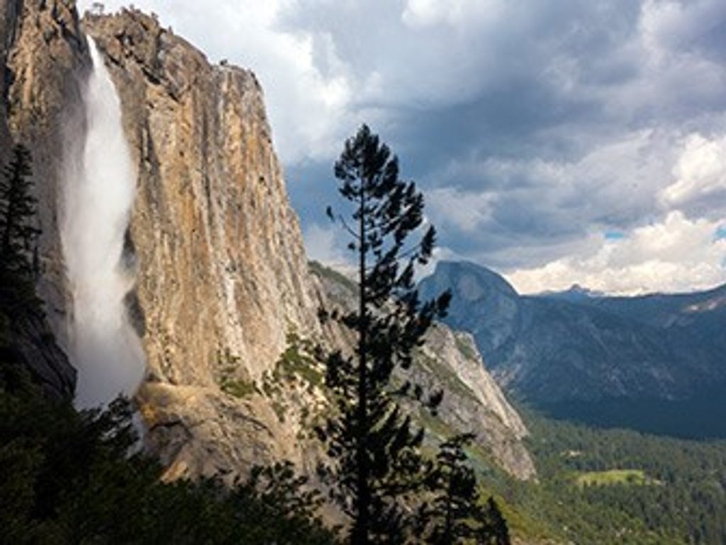
Yosemite Point is a north‑rim overlook reached via the Upper Yosemite Falls Trail. It’s a classic, hard-earned viewpoint: think big switchbacks, bigger views, and a final push over open granite to a fenced perch. The payoff is the grand panorama—Half Dome, Tenaya Canyon, Royal Arches, and the Merced winding the Valley floor. The waterfall itself is mostly out of view from here; come for the skyline and the sweep, not a face‑on look at the falls.
From Yosemite Point you’re looking across to many of the same landmarks highlighted from the south rim—Half Dome, Tenaya Canyon, Royal Arches, the Valley and its meanders—only from the north. It’s a fantastic way to compare perspectives and appreciate the Valley’s scale.
Yosemite’s sheer walls, domes, and the U‑shaped Valley were carved by glaciers scouring tough granite. Today, water, ice, and daily temperature swings continue to shape the cliffs and talus you hike across on the way to the Point.
There are no restrooms on the trail or at Yosemite Point. Use Valley facilities before you start—Lower Yosemite Fall or Church Bowl picnic areas have flush toilets and potable water. Trailhead parking by Camp 4 fills early; arrive at dawn or use the Valley shuttle.
Feeling strong? From the rim junction, add the short spur to the brink of Upper Yosemite Fall for thrill‑factor views, or continue past Yosemite Point toward Eagle Peak for an even wider panorama (expect additional miles and time).
Place · 0.1 mi away
Place · 0.2 mi away
Place · 0.2 mi away
Place · 0.2 mi away
Easy · 0.7 mi away
Easy · 0.7 mi away
Easy · 0.8 mi away
Challenging · 1.1 mi away

Parkwolf Tour Guide
