
Place · 0 mi away
Easy
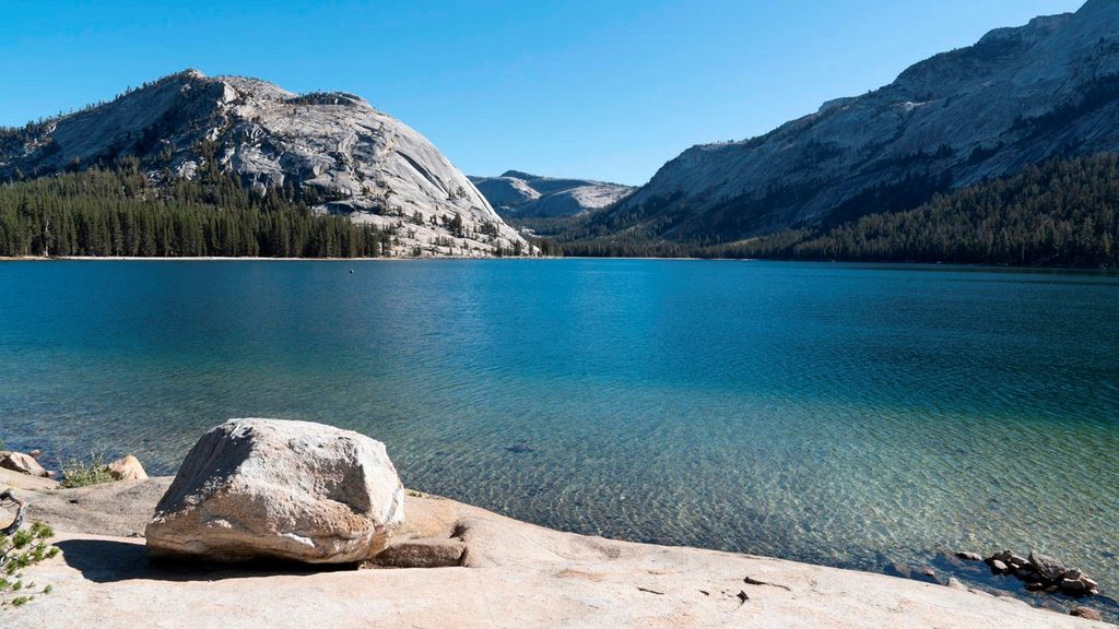
A mellow, scenic loop around Yosemite’s signature High Sierra lake. The Tenaya Lake Loop Trail is an easy 2.5-mile (4 km) circuit with virtually no elevation gain, typically taking 1–2 hours. Expect classic granite-dome views, sandy beaches, and clear, cold water that begs for a quick dip on warm days. It’s beautiful and low-commitment—perfect as a leg-stretcher on a Tioga Road day.
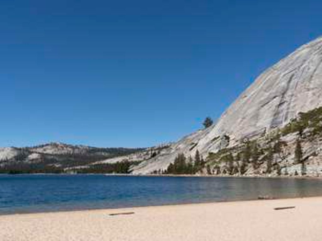
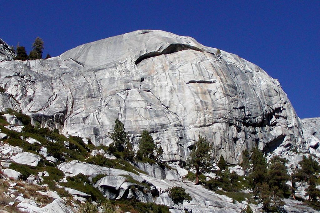
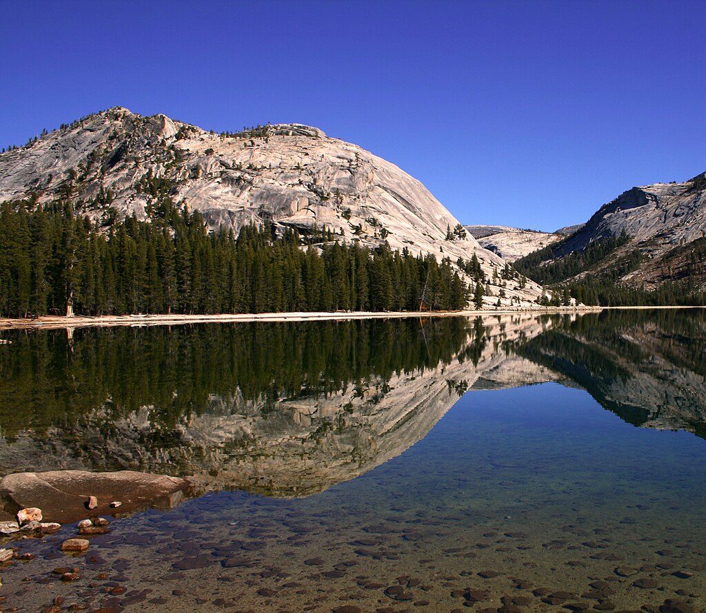
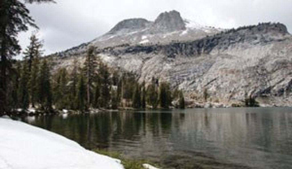
The shoreline frames turquoise water against polished granite domes and peaks. From the south shore you’ll take in big views toward domes like Polly Dome and Pywiack Dome, and it’s common to spot climbers on Stately Pleasure Dome and Tenaya Peak. Keep an eye out for a quirky feature: a handful of old tree stumps poking from the lake, reminders of the area’s changing waterlines. The whole basin is a textbook of glaciation—smooth, sculpted granite and wide U-shaped contours.
Most people start at the west or east parking areas right off Tioga Road. The south shore offers the most classic walking: forested stretches, sandy beach sections, and constant lake views. To complete the loop, you’ll use the north side, which includes some walking along or near the highway. At the lake’s outlet on the north end, there’s a stream crossing that can be tricky in spring and early summer when water runs high. Recent improvements have added boardwalks and a bridge on the north shore to help tie the pedestrian loop together, but conditions can still be wet—expect damp feet early season. If water is too high, simply do an out-and-back along the south side for a stress-free version.
Parking is easy: lots at both ends of the lake and roughly mid-lake, with additional shoulder pullouts. Pit toilets are located near Tioga Road at both ends. Food-storage lockers are available at the west end (Clouds Rest/Sunrise Lakes trailhead area), near Murphy Creek, and at the east end—use them if you’re hanging out to swim or picnic.
Go when Tioga Road is open—typically June through October. Mornings bring calm water and crisp reflections for photography; midday is best for warming up enough to brave a quick swim; late afternoon light softens the granite. Weekdays see fewer people, and this area is usually less crowded than the Valley. Early season brings mosquitoes; late spring/early summer can make the outlet crossing wet or impassable.
Bring insect repellent (mosquitoes favor the west and south shores), sun protection, and footwear that handles sand and occasional wet patches. The lake sits around 8,150 feet, so pace yourself and hydrate. Sections of the loop are near or along the road—stay alert. The water is cold year-round. Harmful algal blooms can occasionally occur in Sierra lakes; avoid discolored or scummy water and heed any posted advisories. Pets are not allowed on Yosemite trails.
Lots at both the west and east ends of Tenaya Lake and roughly mid-lake along Tioga Road, plus additional shoulder parking near the shoreline.
Early-season mosquitoes; cold water; sections of the route are along/near Tioga Road; outlet stream crossing can be difficult in spring/early summer; occasional harmful algal blooms—avoid scummy or discolored water and follow posted advisories.
Place · 0 mi away
Place · 0.2 mi away
Place · 0.6 mi away
Place · 0.7 mi away
Moderate · 0.7 mi away
Challenging · 1.3 mi away
Challenging · 2.2 mi away
Moderate · 2.2 mi away

Parkwolf Tour Guide
