Pothole Dome

Easy granite dome with big Tuolumne Meadows panoramas
Pothole Dome, Yosemite National Park
InsideYosemite National Park

Overview

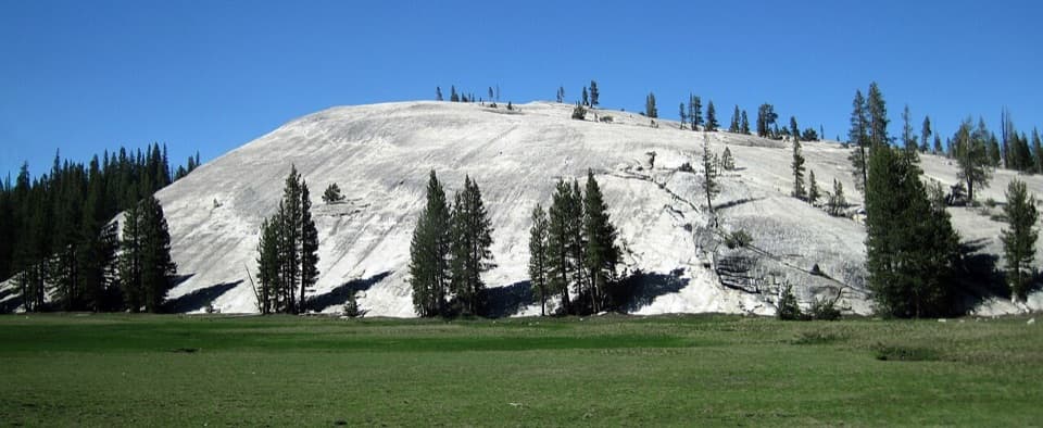
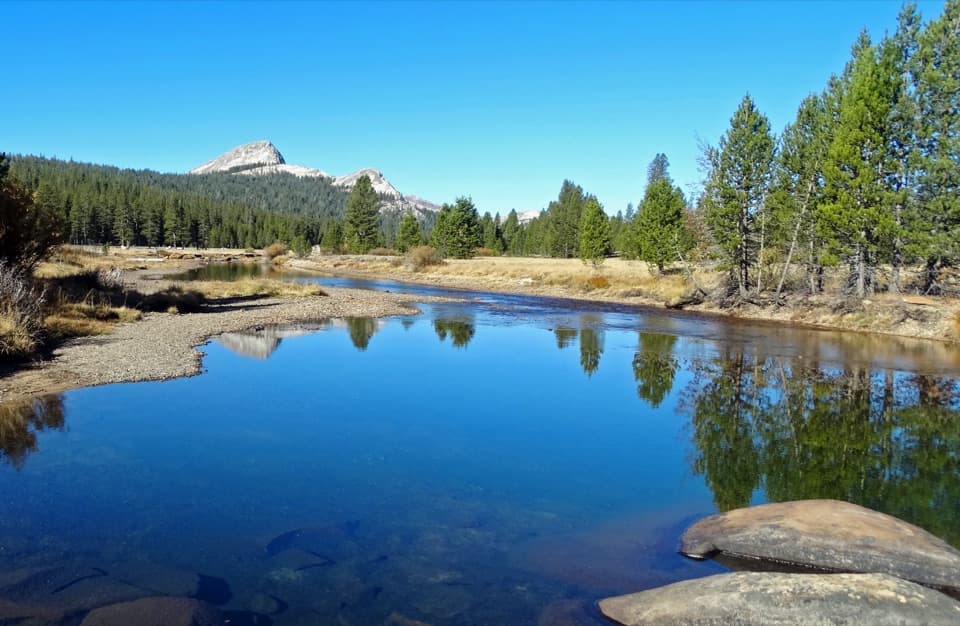
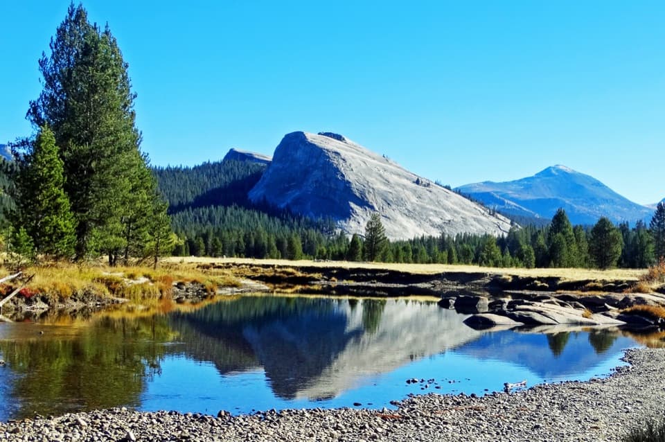
A quick win on Tioga Road’s west end of Tuolumne Meadows, Pothole Dome is an easy, family‑friendly granite stroll to huge views of the meadow, Tuolumne River, and a ring of Sierra peaks. It’s a great first taste of the High Sierra without committing to a big hike.

The Hike

  • Distance and gain: about 1–1.25 miles round trip to the summit (200–250 feet gain); extend to ~2.5 miles if you loop down to the Tuolumne River and back along the base of the dome.
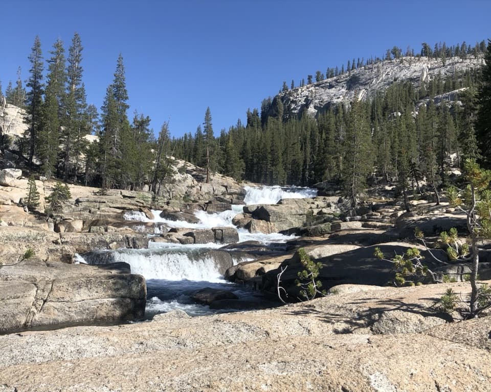
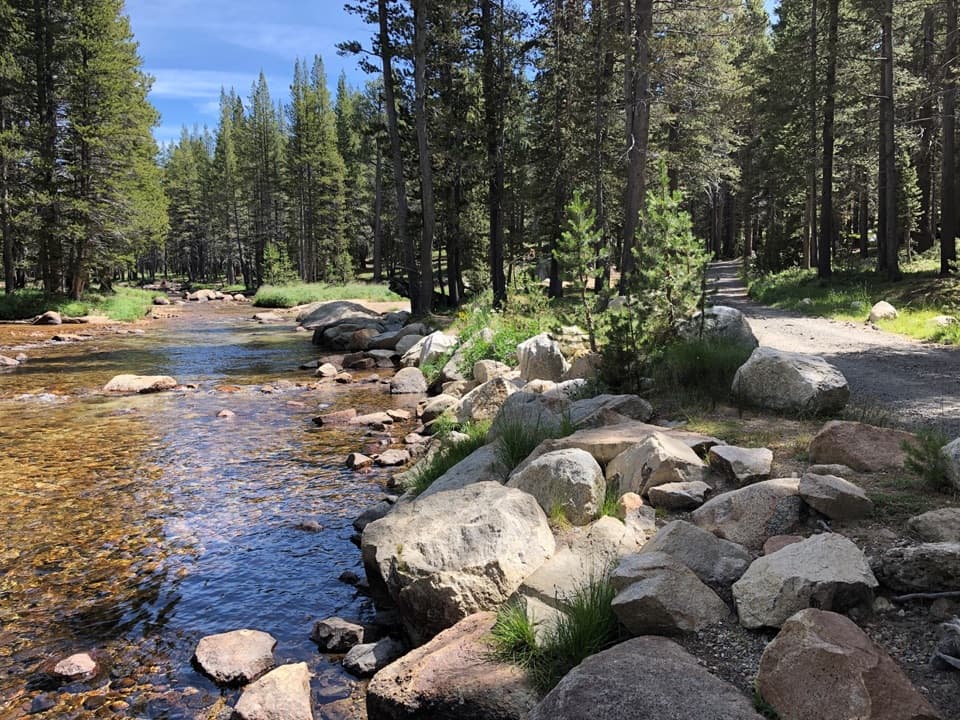
  • Route: From the pullout, follow the short path along the meadow’s western edge to the dome’s east side, then walk directly up the granite (no marked trail on the rock). A popular clockwise loop ascends the gentler left side, descends north to the riverside path, visits a small cascade/swimming hole, then returns along the base of the dome.
  • Pace: Many people reach the top in 10–30 minutes; figure 60–90 minutes if you include the river.

What You’ll See

From the top: Tuolumne Meadows and its meandering river, Lembert Dome to the east, Unicorn and Cockscomb Peaks to the south, and, to the west, Mount Hoffmann and Tuolumne Peak. The panoramas are wide‑open and often less crowded than other Tioga Road stops.

Geology (why it looks this way)

Glaciers once covered this country, scraping and polishing the granite into rounded domes. The dome’s gentler east slope records the direction of ice flow. Boulders perched on top are glacial "erratics" dropped as the ice retreated. The surface “potholes” and occasional crevices add character—and demand mindful foot placement.

Wildlife and Ethics

This is black bear country; store food properly and never feed or approach wildlife. Deer are commonly seen near the river. The adjacent meadow is undergoing restoration—stay on designated paths at the meadow’s edge and don’t cut across wet areas.

Logistics and Amenities

  • Parking: Small roadside pullout/trailhead on Tioga Road at the west edge of Tuolumne Meadows.
  • Facilities: None at the pullout. Nearest restrooms are about a mile east at the Tuolumne Meadows Visitor Information Center; snacks are roughly 2 miles east. Bear lockers are available 0.7 miles east at the Cathedral Lakes trailhead parking area. Cell reception is spotty—download maps for offline use.

Safety Notes

Granite traction is generally good, but slabs can be slick when wet. Expect wind and cooler temps on top—bring a light layer. If you head to the river, be cautious: snowmelt makes the water cold and currents deceptively strong. Mosquitoes can be prevalent near the meadow and river; pack repellent.

Best Time to Visit

The first month or so after Tioga Road opens (often June) is prime: the meadow is green and the river runs high. Go early for cooler temps and easier parking. Tioga Road is a summer–fall road that opens and closes with snow; check current conditions. During some peak periods, timed or peak‑hours entry may be required—verify current policies before you go.

Rules to Know

Stay on the designated trail near the meadow edge; don’t walk into the meadow. No pets, bikes, or strollers on dirt trails.

Pros

  • Short, easy climb with sweeping 360° views over Tuolumne Meadows
  • Quick roadside access with a small pullout on Tioga Road
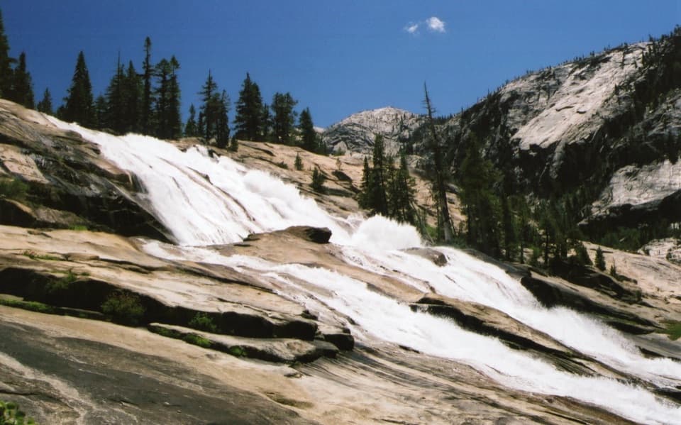
  • Optional loop to a picturesque Tuolumne River cascade

Cons

  • Parking is very limited at the roadside pullout
  • Mosquitoes near the meadow/river; granite can be slick when wet

Tips

  • Do the loop clockwise: ascend the gentler left side, descend north to the river.
  • Arrive early or late in the day; parking is a small roadside pullout.
  • Bring a wind layer—it's often breezy and cooler on the summit.
  • If visiting the river, assess conditions carefully; snowmelt water is cold and swift.
  • Carry insect repellent in peak season and stay on paths around the meadow.
The Parkwolf tour guide sitting on a phone mounted in a car

Parkwolf Tour Guide

Like a tour guide in your car.

Save the places you found around Yosemite, then let Parkwolf guide the drive between them.Download Parkwolf on the App Store