
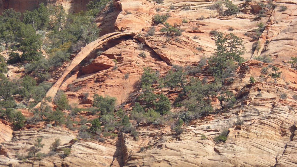
Place · 0.2 mi away
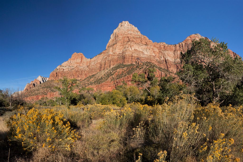
Bridge Mountain is a remote, high-commitment summit rising to 6,803 feet with about 1,123 feet of prominence. It’s beloved by experienced scramblers for its sweeping views and the feeling that you’ve slipped into Zion’s quiet backcountry. Expect long stretches without seeing another person—one summit register reportedly went more than a year between entries.
This is not a groomed trail. Most lines involve off‑trail navigation on slickrock with sustained Class 2–3 scrambling and sections of significant exposure. Older approaches include steep friction slabs, loose ledges, and exposed Class 4; some parties also climb low 5th class if they add Crawford Arch. A newer, safer line is preferred by those who know the area, but it still demands solid route‑finding and a calm head for exposure.
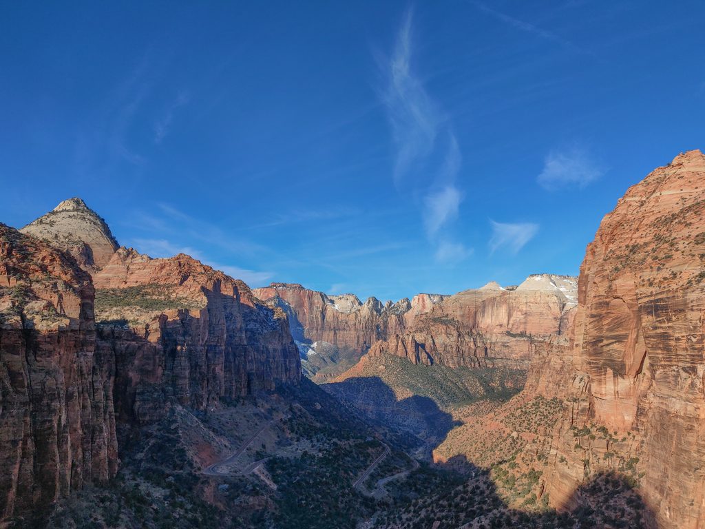
The terrain is classic banded Navajo sandstone—orange and white waves, big slickrock bowls, and wide‑angle views into the heart of the canyons. Advanced parties sometimes tag nearby G2 or detour to Crawford Arch via a notch and a short chimney—serious, airy climbing that some do without ropes. Wildlife is elusive but very present; hikers have reported fresh mountain lion tracks paralleling the route for miles.
There’s no official "Bridge Mountain" trailhead with amenities. Don’t expect toilets, water, or signage. You’re navigating social paths and slabs, following sparse cairns at best. Plan for a full day and build in extra time—many parties take longer than expected, especially on the descent.
Not up for an exposed scramble? Most visitors admire Bridge Mountain from the Canyon Overlook viewpoint along the highway east of the tunnel. It’s a short, popular hike with limited parking and no water at the lot; a pit toilet sits a short walk east in a separate pullout.
Go in the cooler months. Heat and full sun exposure amplify risk on slickrock, and there’s no reliable water on route. Start early for shade and turnaround margin. If you’re opting for the roadside viewpoint instead, aim for very early or late afternoon for easier parking and softer light.
This is committing backcountry travel with real consequences. Confident movement on exposed sandstone, self‑reliant navigation, and conservative decision‑making are mandatory. Check current wilderness regulations and closures before heading out.
Place · 0.2 mi away
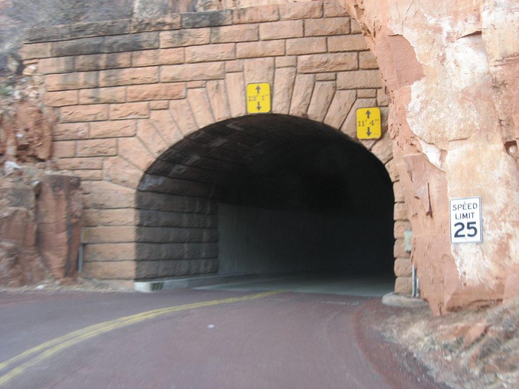
Place · 0.6 mi away
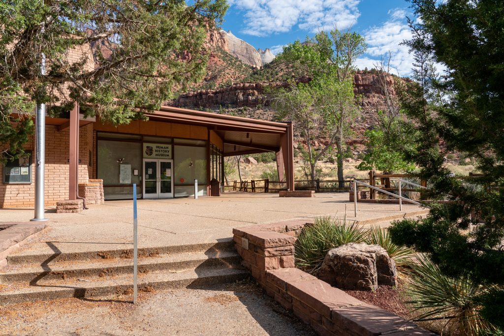
Place · 0.8 mi away
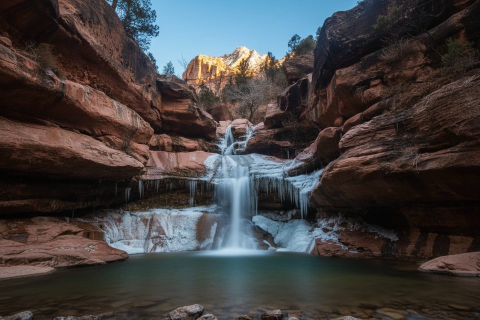
Place · 0.8 mi away
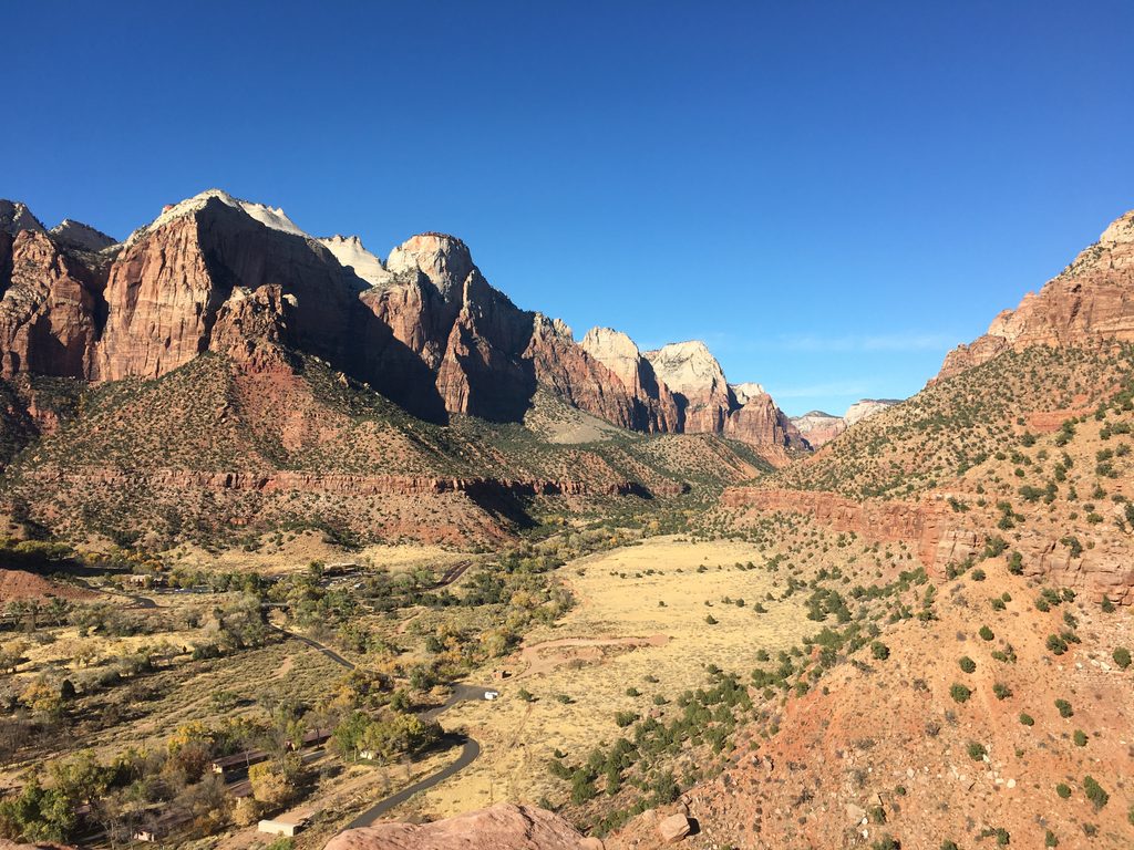
Moderate · 1.2 mi away
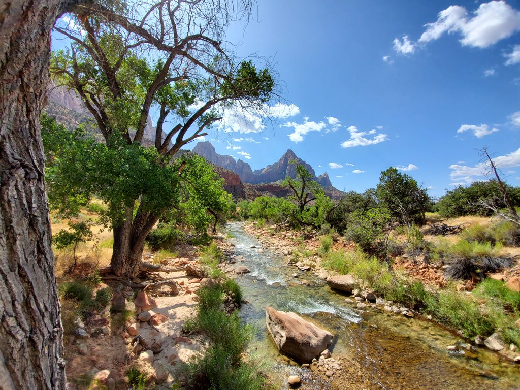
Easy · 1.2 mi away
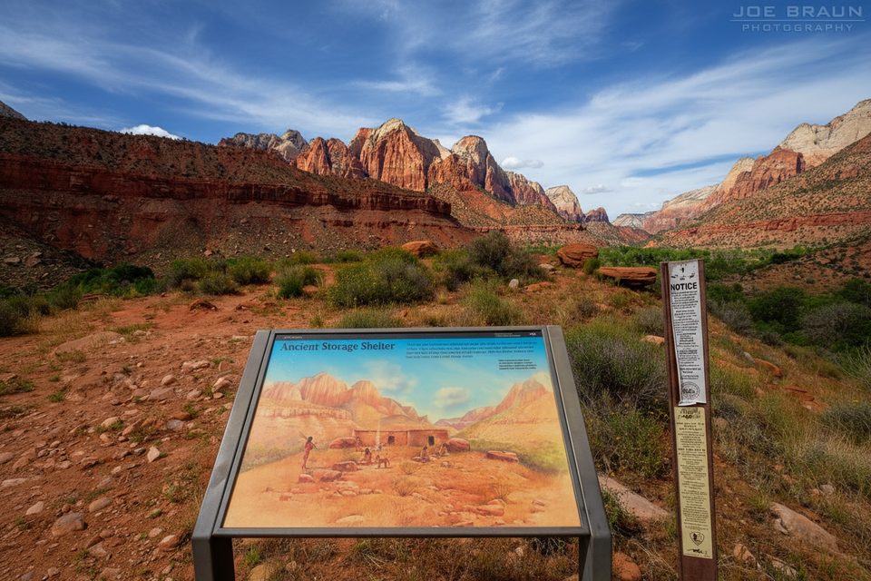
Easy · 1.2 mi away
Easy · 1.4 mi away

Parkwolf Tour Guide
