Parking
Enter Brent Campground from Brent Road and use designated campground parking near the historic walk. Follow the on-site signs to the western road access; there is no separately named trailhead lot.

Algonquin Provincial Park, ON
Follow a quiet road through Brent's historic settlement
Overview
Map & elevation
Plan your hike

The highest, rockiest slopes around here are a summer buffet for grizzly bears.
Algonquin Tour Guide
Parkwolf is a GPS audio tour guide for Algonquin Provincial Park. As you drive, it chimes in with what’s ahead: hidden gems, upcoming stops, history, geology, and wildlife, right through your car’s speakers.
See the Algonquin audio tourRecorded for this trailhead
Brent and Cedar Lake“You're nearing Brent on Cedar Lake, a small campground and paddling base with a much bigger past. By the early nineteen hundreds, this logging and railway settlement had several hundred residents, a school and a church.”
Plays as you drive up to this trailhead in the Parkwolf Algonquin Tour Guide.
More stories near here in the app
“Fantastic app with many points of information… It’s great to just turn on while you’re driving and it gives you an audio tour of the national Park. We love it!!!!”


Trail guide
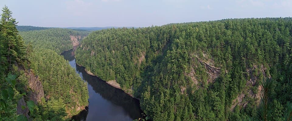
The Brent Historic Site Trail is an easy 3 km out-and-back along campground roads through the old Brent settlement. Allow about two hours if you stop at the history points. It is a road-based walk, not a separate wilderness trail.
The draw is the settlement's history, with interpretive stops along the route. The Brent Graveyard is one distinctive stop, marked by a white cross and an enclosure in the trees. It makes a good change of pace if you're already camping or paddling at Cedar Lake; its payoff is the townsite history rather than a summit climb.
The listed 3 km doesn't say whether it includes the return. The mapped corridor is about 0.87 mi one way, so we treat the outing as a return walk along the same road. Start at the western campground-road access, continue through the townsite, then retrace your route. Use designated parking in Brent Campground and follow the historic-walk signs. The campground is seasonal, so confirm access outside its operating season. Dogs are allowed on a leash no longer than 2 m. Keep off the abandoned railway corridor beside the walk; it is private property.
Wildlife
 1,237 sightingsMooseMost seen around 6 AMSighting map
 245 sightingsEastern WolfMost seen around 7 PMSighting map
 331 sightingsBlack BearMost seen around 7 PMSighting map
 604 sightingsLoonMost seen around 6 PMSighting map
 110 sightingsBald EagleMost seen around 11 AMSighting map
 192 sightingsRiver OtterMost seen around 6 PMSighting map
Sighting maps show where each species has been reported across Algonquin. Wildlife moves, so no sighting is guaranteed.
Keep exploring
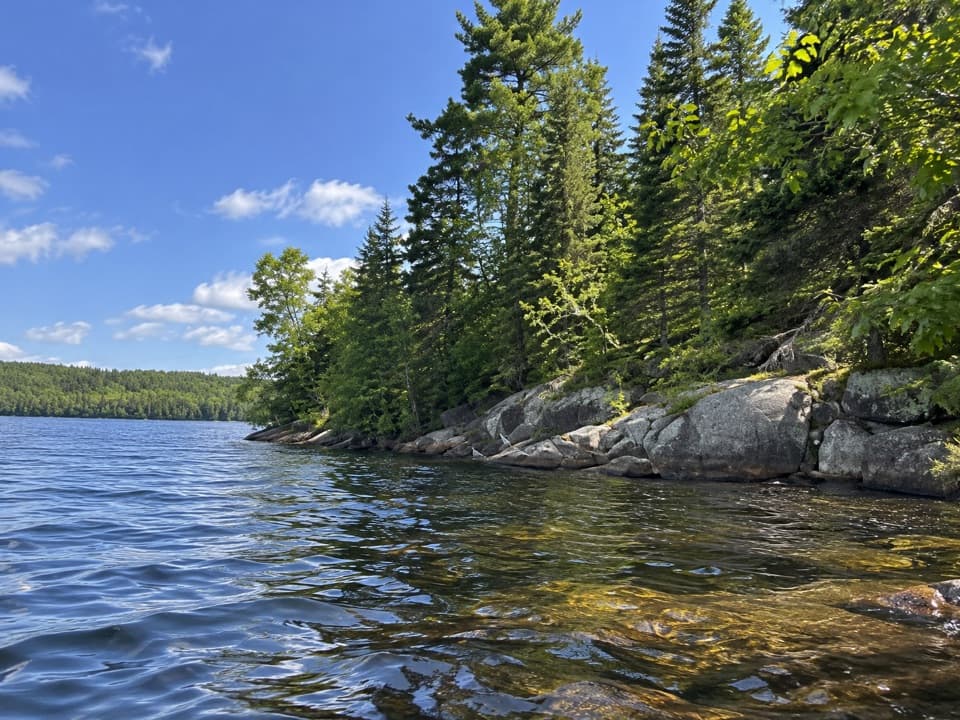 EasyLimestone Trail0.5 km · 30 min · At the trailheadA short forest walk to a secluded Cedar Lake beach.
 EasyGiant Pines Trail (Big Crow)2.8 km · 1 hr · 22.2 km awayPaddle in to walk among the old-growth pines.
 ModerateBig Crow Lake Old Fire Tower Trail1.2 km · 1 hr · 22.8 km awayA short, steep climb to Big Crow's old fire-tower site
 Campground · At the trailheadBrent CampgroundSecluded Cedar Lake camping, at the end of a long gravel road.
 Store · 0.7 km awayBrent StoreA remote outfitter with Cedar Lake canoe rentals and a launch dock.
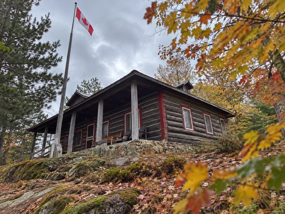 Lodging · 1.1 km awayBrent Ranger CabinA restored log cabin by Cedar Lake with room for ten.
 Lodging · 1.1 km awayBrent Deputy Ranger CabinA two-person log cabin stay on a Cedar Lake peninsula.
 Sight · 5 km awayBrent Crater Observation TowerSee a meteorite crater from the tower or on a forested walk.
Parkwolf’s Algonquin ranking

The audio tour guide for the drive, plus offline maps, trails, and wildlife heatmaps for when the signal drops.