
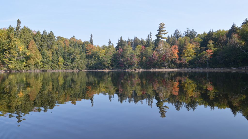
Place · 5.6 mi away
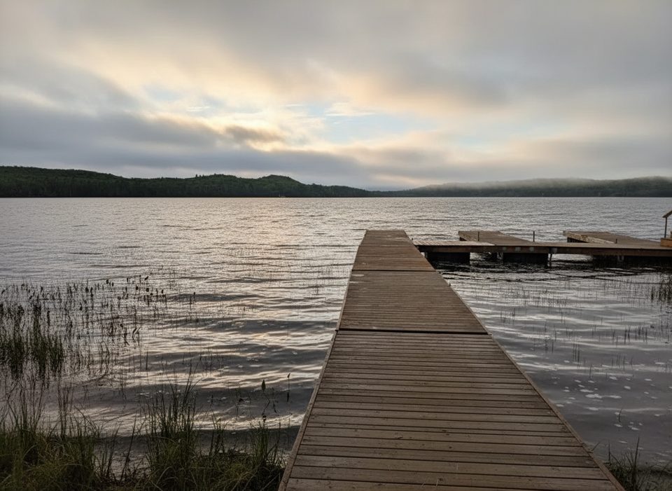
This is Algonquin’s Access Point #1 on the west shore of Kawawaymog (Round) Lake—a low-key, scenic launch that bypasses the busy Highway 60 corridor. From South River off Highway 11, you turn east at Ottawa Avenue and follow the road 21.6 km; the first ~15 km are paved, then it turns to gravel before reaching the lake. Cell coverage fades after you leave town, so plan offline.
You’ll find parking, toilets, and an Access Point Office at the launch. Permits for backcountry camping are reserved online or by phone up to five months ahead; bring a printed or digital copy of your reservation as your permit. Check Ontario Parks advisories before you roll—water levels and notices can affect travel plans.
This launch opens rich canoe country right away. A popular multi‑day is a one‑way, four‑day trip to Kioshkokwi Lake through big-water scenery and wildlife‑friendly narrows, with rock‑point campsites that shine for swimming and sunsets on North Tea, Manitou, and Kioshkokwi. Outfitters also suggest 3–4 day loops through North Tea, Three Mile, and Manitou if you want to circle back.
Voyageur Quest Outfitting operates at the access point with canoes, kayaks, SUPs, and full canoe‑tripping gear; Northern Wilderness Outfitters also supports trips starting here. Typical rentals include paddles and a safety kit; PFDs may be extra. Prices vary by canoe material—roughly from durable plastics to lightweight Kevlar—often with multi‑day discounts. Complete outfitting packages (meals, tents, cook kits) are available if you want to show up light and go.
Algonquin’s backcountry has a few firm rules from Ontario Parks: no cans or glass bottles, motorboats limited to designated lakes, and no fly‑in access. Campsites and portages are marked, and an Algonquin Canoe Routes map is easy to get digitally or as a paper map.
Peak season fills quickly—book permits as early as you can within the five‑month window. Shoulder seasons can be fantastic but more variable; after storms or in spring/fall, check water‑level advisories and give yourself extra time on the gravel approach. Aim to arrive with daylight to sort gear and launch without rushing.
Place · 5.6 mi away
Place · 18.4 mi away
Place · 18.4 mi away
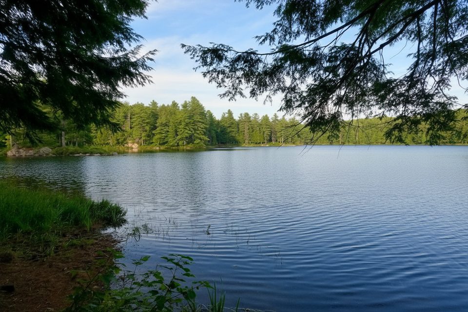
Place · 19.4 mi away
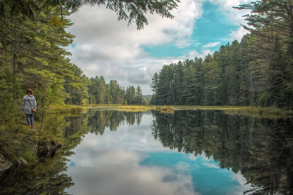
Moderate · 34.6 mi away
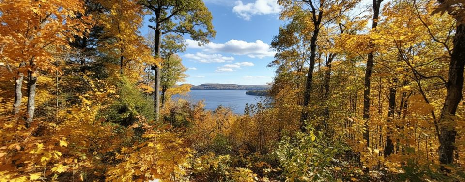
Easy · 35 mi away
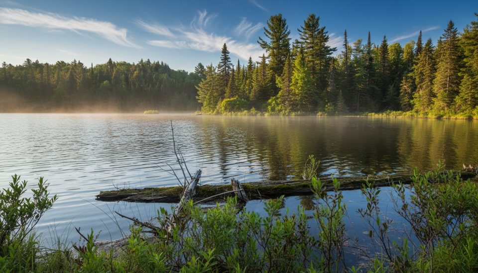
Easy · 35.8 mi away
Moderate · 35.9 mi away

Parkwolf Tour Guide
