
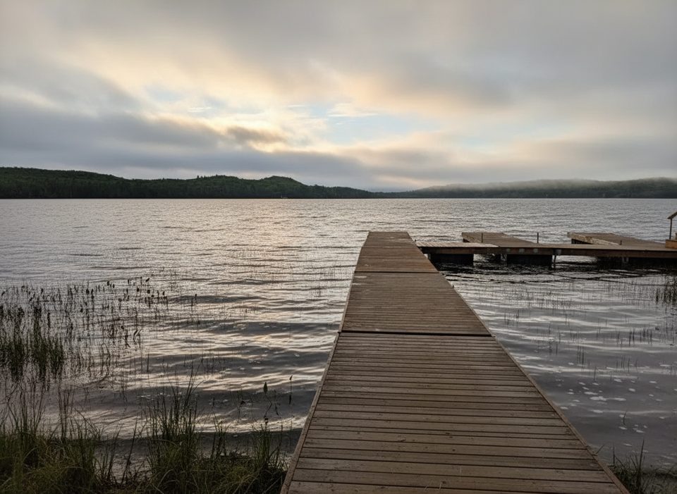
Place · 5.6 mi away
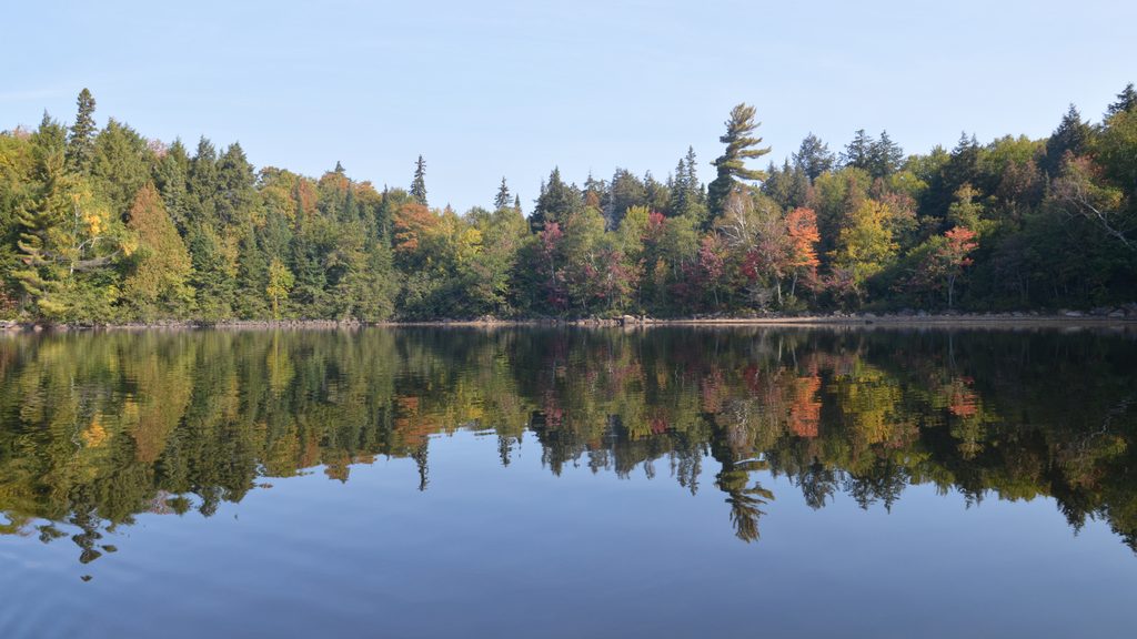
North Tea is the classic north‑side Algonquin backcountry lake: big, quiet, and just far enough in to feel wild. Paddlers come for broad horizons, sandy landings, and a choose‑your‑own‑adventure vibe—basecamp on an island, or keep pushing deeper for a multi‑day loop.
Most trippers enter from Kawawaymog (Access Point #1) and make the 15 km approach—typically 3.5–4 hours in normal conditions—to reach North Tea. There are other routes that connect in from the north and west as part of longer canoe trips, but Kawawaymog is the popular, straightforward gateway.
Expect backcountry sites with simple but useful features: sandy beaches for easy canoe landings and good swimming, rock‑ring fire pits, and thunderboxes set a short walk from camp. Views range from sheltered coves to airy points; that elevated point between the lake’s East and West arms is a fan favorite for breeze and sunsets. Some landings and near‑shore swimming are shallow and rocky—great footing with water shoes.
Despite its remote feel, North Tea draws plenty of 3–4 night trips. Weekends in peak summer can get busy, and paddlers do note occasional motorboat presence. If solitude is the priority, we time it carefully and pick our sector of the lake accordingly.
North Tea works beautifully as a basecamp with day paddles, or as a stepping‑stone to link destinations like Manitou or Biggar on longer circuits.
Aim for weekdays to dodge summer‑weekend traffic. Start early to secure a better site and enjoy calmer water. Sunset light treats the west‑facing points especially well.
There’s no cell coverage out here—treat it like true backcountry. Bring and know how to use the official Algonquin Park Canoe Routes Map; it’s updated by park staff and invaluable for portages, site clusters, and route options.
Place · 5.6 mi away
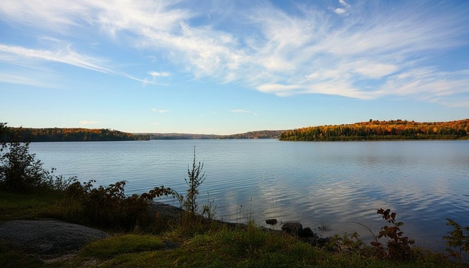
Place · 13.5 mi away
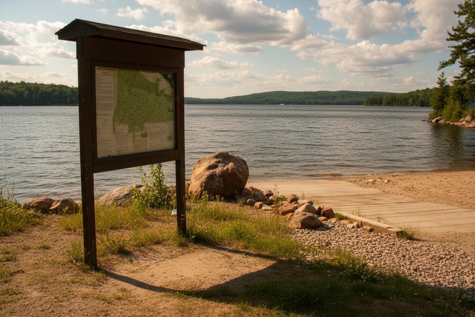
Place · 13.5 mi away
Place · 19.1 mi away
Moderate · 32.6 mi away
Easy · 33.1 mi away
Easy · 33.5 mi away
Moderate · 34.6 mi away

Parkwolf Tour Guide
