Parking
Use the Peck Lake parking access at Highway 60 km 19.2. A valid Algonquin Park permit is required.
Algonquin Provincial Park, ON
Short lake circuit with marsh boardwalks, roots, and two stair sections.
Overview
Map & elevation
Plan your hike

The highest, rockiest slopes around here are a summer buffet for grizzly bears.
Algonquin Tour Guide
Parkwolf is a GPS audio tour guide for Algonquin Provincial Park. As you drive, it chimes in with what’s ahead: hidden gems, upcoming stops, history, geology, and wildlife, right through your car’s speakers.
See the Algonquin audio tourRecorded for this trailhead
Peck Lake Trail“You're coming up on Peck Lake Trail, where a short loop keeps returning to views across the water.”
Plays as you drive up to this trailhead in the Parkwolf Algonquin Tour Guide.
More stories near here in the app
“Fantastic app with many points of information… It’s great to just turn on while you’re driving and it gives you an audio tour of the national Park. We love it!!!!”


Trail guide
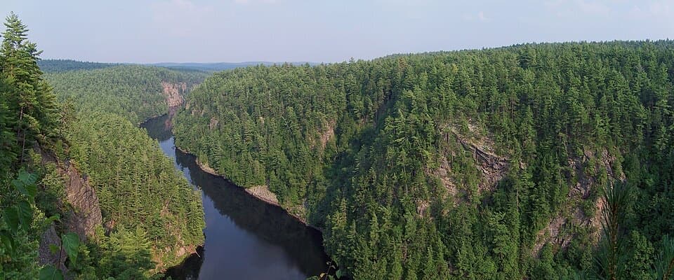
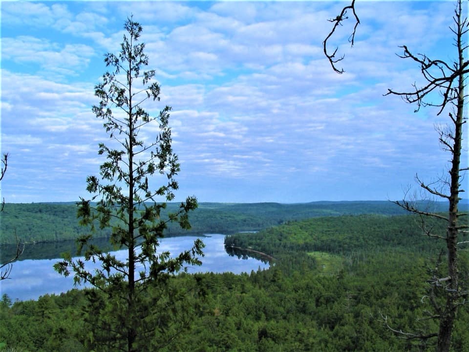
Peck Lake Trail is a loop around the shoreline of Peck Lake, starting at the Highway 60 access at km 19.2. The current published distance is 2.3 km (1.4 mi), and a typical walk takes about 1.5 hours. Published and mapped measurements range from about 1.8 to 2.3 km, so plan for the longer figure. This is a good choice when you want a manageable walk with water views, not a full-day hike. The route uses a short approach to the shore and retraces that stretch at the end.
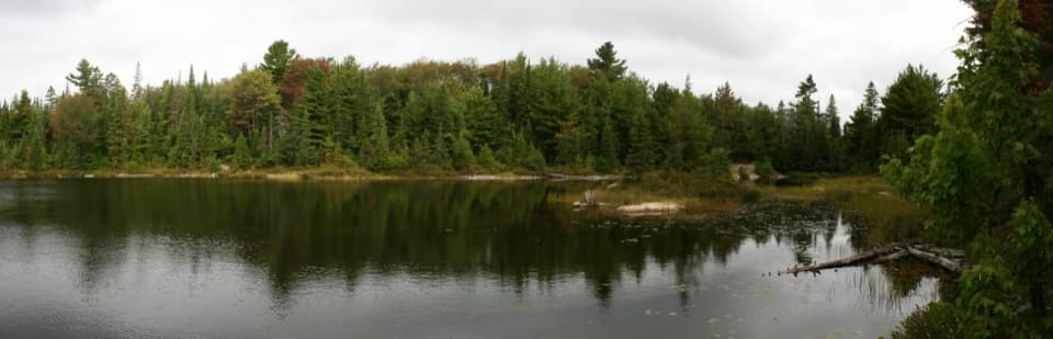
You get an early look across the lake, then walk through forest over roots and rocks with a few small rises. A boardwalk crosses marshy ground; farther around, another wet stretch leads past a stream and a rock face. The later half is flatter in places, with longer boardwalk sections. Two sets of stairs add 24 steps, and the final rise comes near the end. The short distance can feel more demanding than a stroll because the footing is narrow and uneven.
Several openings look across the water, with marsh edges and forest giving the circuit more variety than a simple shoreline path. The interpretive guide focuses on the ecology of a typical Algonquin lake. Visitors often enjoy the repeated lake views, though fall color is not a standout for everyone; choose this one for a quiet lake walk rather than a dramatic lookout.
Start at the Peck Lake parking access on Highway 60 at km 19.2. A valid Algonquin Park permit is required. Dogs are allowed on leash, with a maximum leash length of 2 metres.
Wildlife
 1,237 sightingsMooseMost seen around 6 AMSighting map
 245 sightingsEastern WolfMost seen around 7 PMSighting map
 331 sightingsBlack BearMost seen around 7 PMSighting map
 604 sightingsLoonMost seen around 6 PMSighting map
 110 sightingsBald EagleMost seen around 11 AMSighting map
 192 sightingsRiver OtterMost seen around 6 PMSighting map
Sighting maps show where each species has been reported across Algonquin. Wildlife moves, so no sighting is guaranteed.
Keep exploring
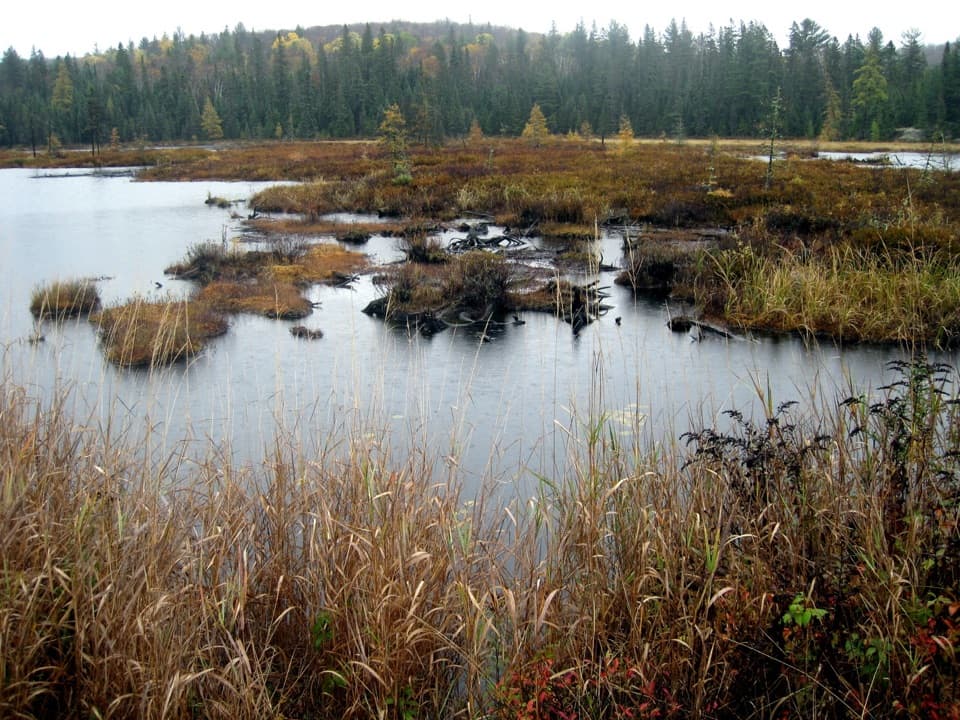 ModerateMizzy Lake Trail10.8 km · 6 hr · 3.7 km awayNine ponds, a long loop, and wildlife worth looking for.
 ModerateHardwood Lookout Trail1 km · 45 min · 4.8 km awayA short hardwood loop to a Smoke Lake overlook.
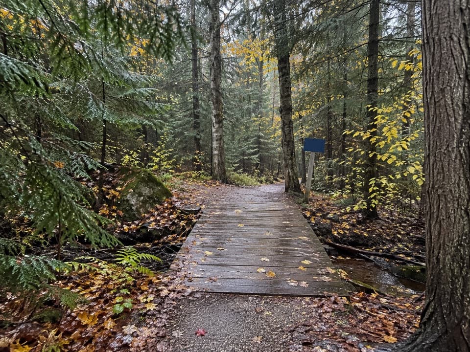 ModerateRed Spruce Side Trail0.5 km · 30 min · 4.9 km awayA short, rooty loop through Algonquin’s labeled conifers.
 ModerateTrack and Tower Trail7.5 km · 4 hr · 5.8 km awayRocky climbs and stairs lead to a broad Cache Lake lookout
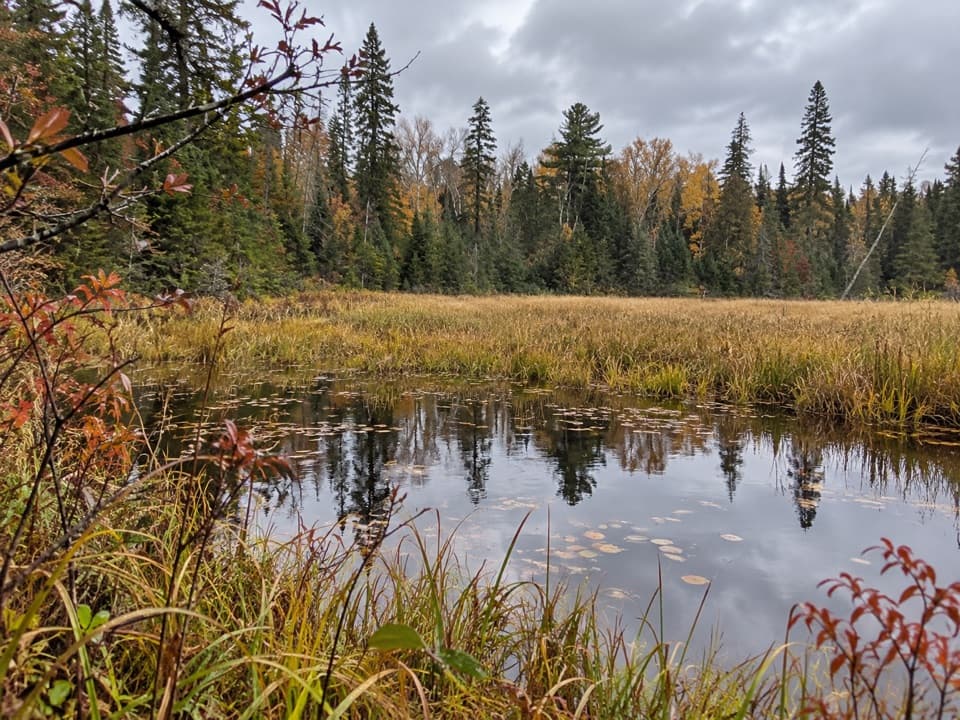 ModerateRed Trail (Arowhon Pines)11.3 km · 3 hr · 6.5 km awayA long Arowhon loop to Wolf Howl Pond and old rail
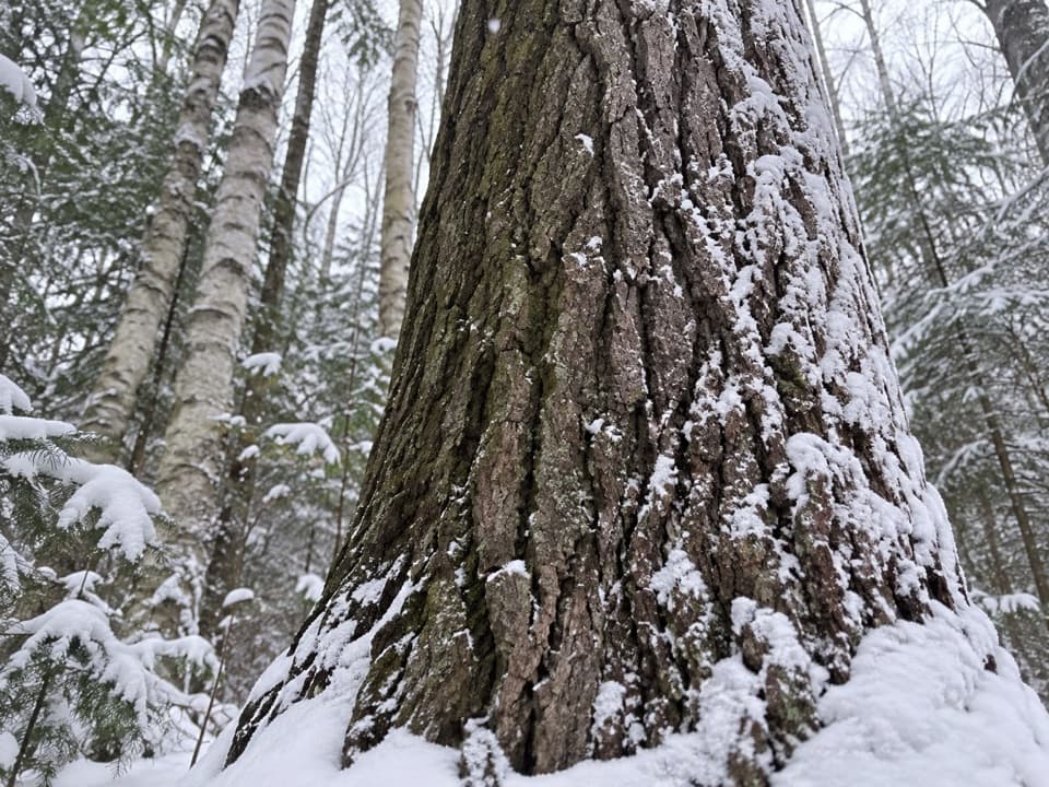 EasyMedicine Tree Trail (Arowhon Pines)0.5 km · 1.3 hr · 6.5 km awayA short detour for the large white pine worth sitting beside.
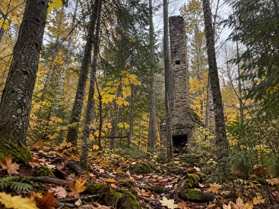 ModerateWhite Trail (Arowhon Pines)7.6 km · 4.5 hr · 6.5 km awayA forest walk to the stone chimneys of a lost lake resort.
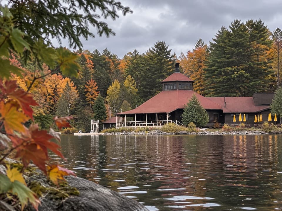 EasyYellow Trail (Arowhon Pines)3.4 km · 1 hr · 6.5 km awayA hilly hardwood walk along Little Joe Lake's bay.
 Sight · 0.8 km awayAlgonquin Art CentreWildlife art fills a hollow stone gallery beside Found Lake.
 Sight · 2.3 km awaySource Lake Access Point (#7)A gravel-road put-in for backcountry paddles on Source Lake.
 Lodging · 4.1 km awayBartlett LodgeA four-course dinner starts with a boat ride across Cache Lake.
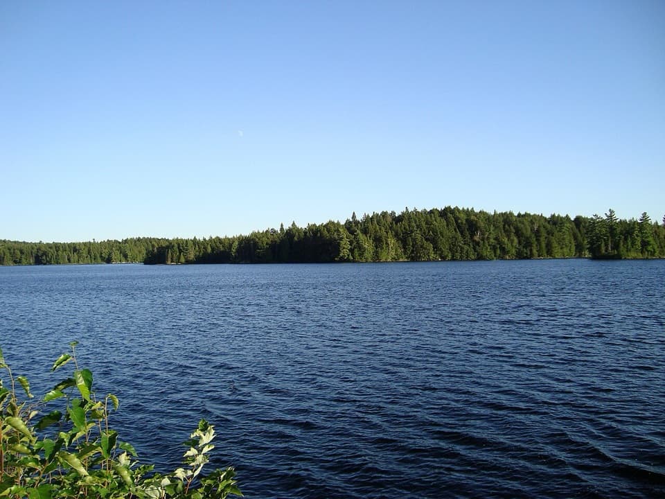 Sight · 4.4 km awayCache Lake Access Point #8 and Historic Site ExhibitA canoe put-in beside the story of a railway-era resort.
 Sight · 4.4 km awaySmoke Lake Access Point (#6)A Highway 60 spur gets your canoe onto Smoke Lake.
 Sight · 4.7 km awayCanoe Lake Access Point and Portage StoreStart a paddle with permits, rentals, and food all at the launch.
 Campground · 4.8 km awayCanisbay Lake CampgroundA wooded campground with a 30-minute paddle to interior sites
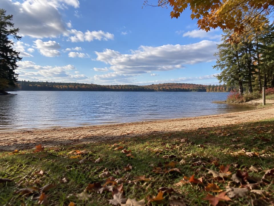 Beach · 4.9 km awayCanisbay Lake Day Use AreaAn easy Highway 60 stop for a sandy swim and lakeside picnic.
Parkwolf’s Algonquin ranking

The audio tour guide for the drive, plus offline maps, trails, and wildlife heatmaps for when the signal drops.