Pros & cons
PROS
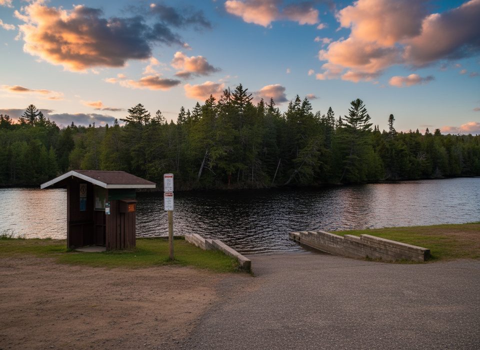
- Concrete boat ramp with easy put‑in directly to the Madawaska River
- Parking at the launch with additional overflow options nearby
CONS
- Gravel access road can be rough; allow extra time
- Gets busy on summer weekends and holidays around the ramp
Overview
Rock Lake Access Point is a major jumping‑off spot for Algonquin’s interior canoe routes. You launch on a short, scenic stretch of the Madawaska River between Whitefish and Rock Lakes, so you’re paddling within minutes rather than grinding through logistics.
Getting There
From Highway 60 at km 40.3, it’s an 8 km drive south on the gravel Rock Lake Road to the campground area; turn right just past the office and continue roughly 150 m to the access. The road is unpaved and can be rough—budget a few extra minutes, especially after rain or in peak season.
What’s Here
- Concrete boat‑launch ramp, parking, and vault toilets at the access point.
- Outboard motors are permitted on Rock Lake up to 20 hp.
- No rentals on site, but local outfitters commonly deliver canoes to the launch.
Nearby Campground Services (handy for staging)
A short drive/walk back at Rock Lake Campground you’ll find a comfort station with flush toilets, showers, and laundry, plus additional flush toilets in each campground section. There’s also a trailer sanitation (dump/fill) station.
Activities From the Launch
- Canoeing: Easy access to Rock Lake and onward interior routes.
- Hiking: Booth’s Rock Trail starts near the campground; Centennial Ridges is a short drive along Hwy 60.
- Biking: The Old Railway Bike Trail runs nearby for a casual spin with historic interpretive panels.
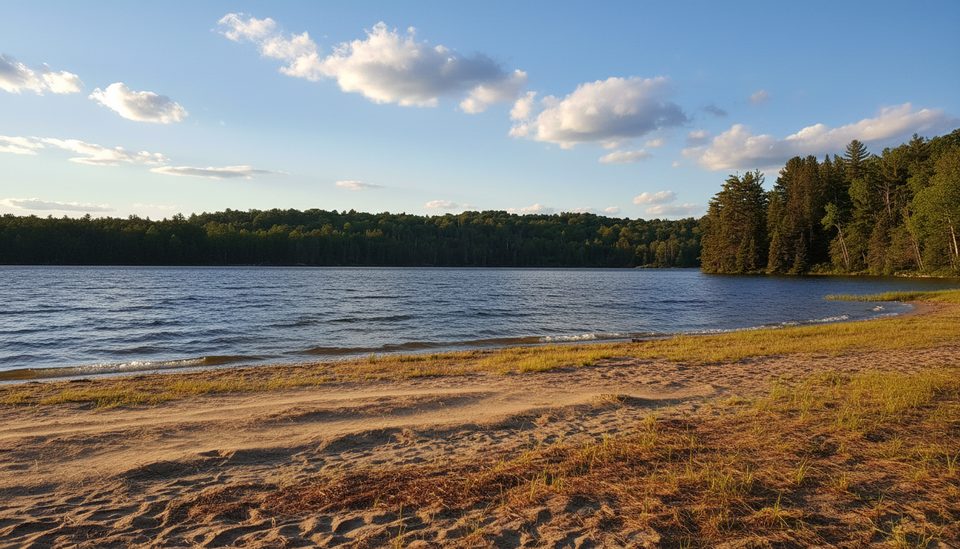
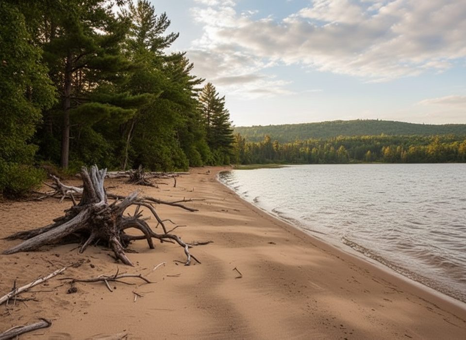
- Swimming: Two beaches in the campground (no lifeguards).
- Fishing & Birding: Productive waters for trout and summer bass; expect loons and diverse birdlife.
Logistics & Permits
Backcountry permits are by reservation (up to five months ahead) and issued online or by phone. The park uses paperless permits—if your license plate is on the reservation, you can go straight to the launch. Check park advisories before you go for water level, fire, or other notices. Cell coverage here is spotty to nonexistent, so finalize plans and downloads beforehand. Stores are back on Highway 60; don’t count on picking up last‑minute items at the launch.
Crowd Intel
This access point is popular. The ramp and adjacent parking can bottleneck on weekends and holidays; overflow options exist around the campground complex, but you’ll save time by arriving early.
Best Time to Visit
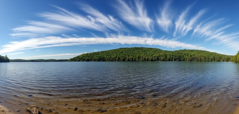
Aim for early morning starts: you’ll beat ramp traffic, enjoy calmer winds on Rock Lake, and have prettier light on the river approach. Weekdays are quieter than weekends. For photography, sunrise is lovely from the beaches and on the narrow channel leading to the lake.
Where it is
45.5252, -78.4130Tips for Rock Lake Access Point
- 01Arrive early on weekends and holidays to avoid ramp and parking congestion.
- 02Add your license plate to your reservation so you can launch without stopping at the office.
- 03Use the campground comfort station before launching; the access-point toilets are vault style.
- 04Plan for the 8 km gravel road and drive slow—vehicles with low clearance should take it easy.
- 05If the forecast is windy, start your paddle early when Rock Lake is typically calmer.
Amenities
Near Rock Lake Access Point
All places →All trails →
0.2 mi awayRock Lake CampgroundWaterfront sites, beaches, and the park's only on-site dump stationCampground · Restroom
0.3 mi awayRaccoon Lake CampgroundQuiet, rustic lakeside camping with a tiny beach and trail accessCampground · Restroom
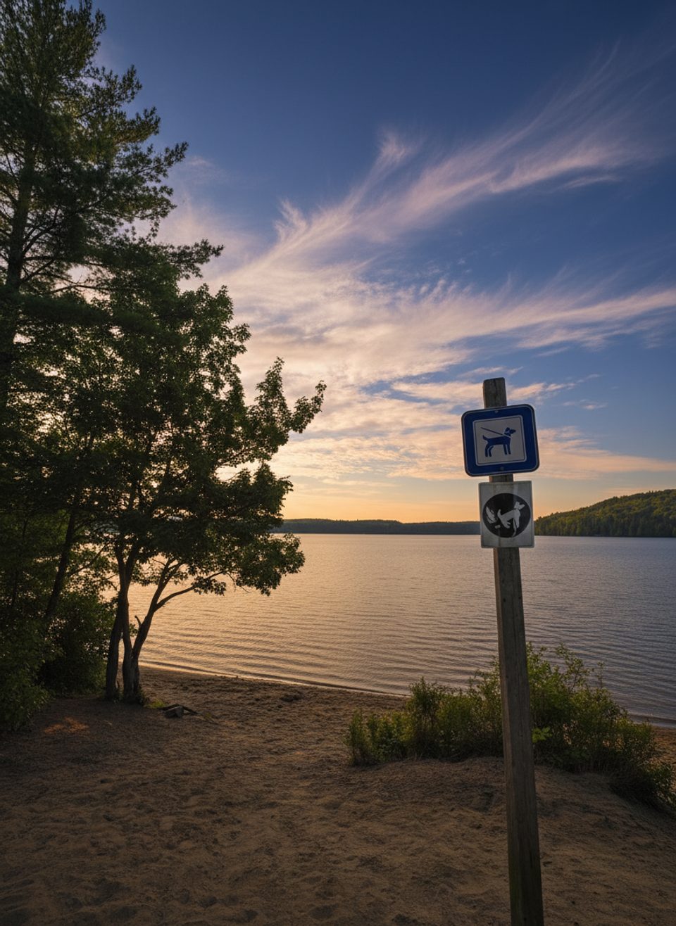
0.3 mi awayRock Lake BeachSandy swim spot with sunrise views and a nearby dog beachRestroom · Campground
0.3 mi awayRock Lake Dog BeachTiny, clear-water dog beach tucked below Booth’s Rock trailheadParking · Trailhead
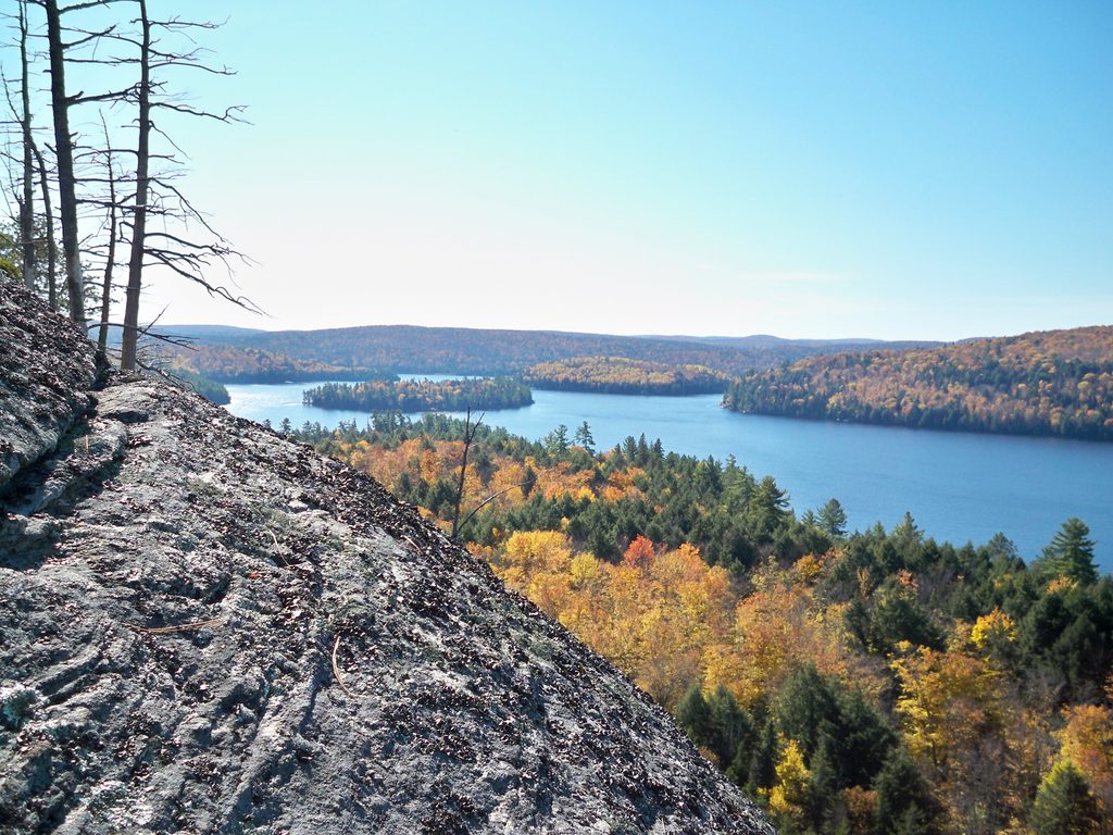
0.8 mi awayBooth's Rock TrailShort, punchy loop to a classic Rock Lake lookout.Moderate · 3.2 mi · 2 hr
2.2 mi awayCentennial Ridges TrailBig lake views and real elevation on the park’s classic ridge loop.Challenging · 6.5 mi · 5 hr
3.7 mi awayLookout TrailShort, steep loop to a sweeping forest and lakes panorama.Moderate · 1.3 mi · 48 min
3.9 mi awayBig Pines TrailOld-growth white pines and logging history on a mellow forest loop.Easy · 1.8 mi · 1.3 hr