Rock Lake Campground in Algonquin Provincial Park

Campground · Algonquin Provincial Park

Rock Lake Campground

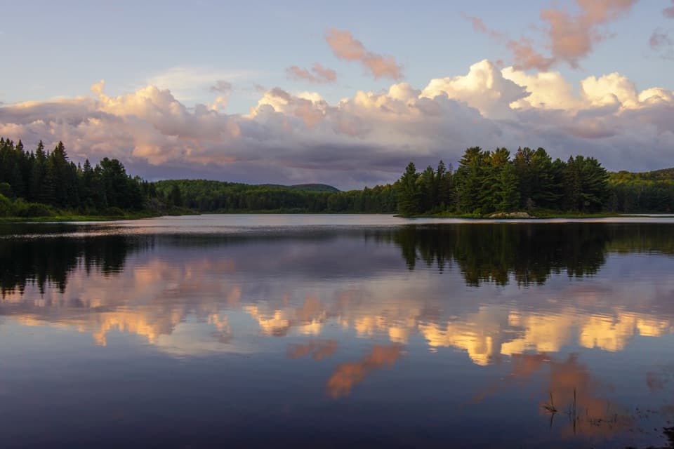
Sleep by the lake, then walk to Booth’s Rock Trail.

Type
Campground
Nearest trail
0.4 km
Audio stories
2 nearby
  • Restrooms
  • Parking
  • Trailhead

Hear the audio tour

Booth's Rock and Rock Lake

Overview

About Rock Lake Campground

Why stop

  • Rock Lake access and nearby Booth’s Rock Trail make it more than a place to sleep.

Heads up

  • Close site spacing means limited privacy and less quiet.

Map

Where it is

Loading the Algonquin map
Full map
CampgroundRock Lake Campground45.52329, -78.40807
Keep this map with you offline in the Parkwolf app

Plan your stop

Before you go

Campground and lake facilities

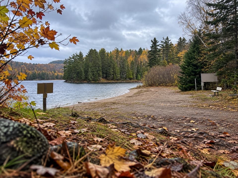
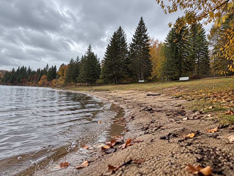
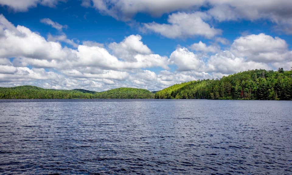
Sites accommodate tents through larger vehicles, and more than half have electric hookups. The barrier-free comfort station by the office has flush toilets, showers and coin laundry; additional toilets serve both loops. A boat launch opens onto Rock Lake, where outboard motors are limited to 20 hp. There’s also a pet recreation beach on the east side near Booth’s Rock access; dogs must stay leashed and waste picked up.

4 active Algonquin alerts

  • ClosureProvoking Falls Bridge ClosedThe Provoking Falls bridge on the Highland Backpacking Trail is closed because of safety concerns; the bridge has been removed. - Use the posted reroute, which adds 2.5 km.Official details
  • CautionLow Water on Backcountry Canoe RoutesOntario Parks currently lists low-water alerts for six backcountry canoe-route sections: - Varley Lake from Carl Wilson Lake - Latour Creek north of Rosebary Lake - Carcajou Creek north towards…Official details
See all 4 alerts
A park ranger sits on a dash-mounted phone, talking, as Parkwolf’s Tour Guide plays “Army Cutworm Moths: A Grizzly Bear Buffet” on Grand Loop Road below Dunraven Pass in Yellowstone
Parkwolf Tour GuideThe highest, rockiest slopes around here are a summer buffet for grizzly bears.

Algonquin Tour Guide

Your drive to Rock Lake Campground, narrated.

Parkwolf is a GPS audio tour guide for Algonquin Provincial Park. As you drive, it chimes in with what’s ahead: hidden gems, upcoming stops, history, geology, and wildlife, right through your car’s speakers.

See the Algonquin audio tour

Recorded for this place

Booth's Rock and Rock Lake
0:00 / 0:26
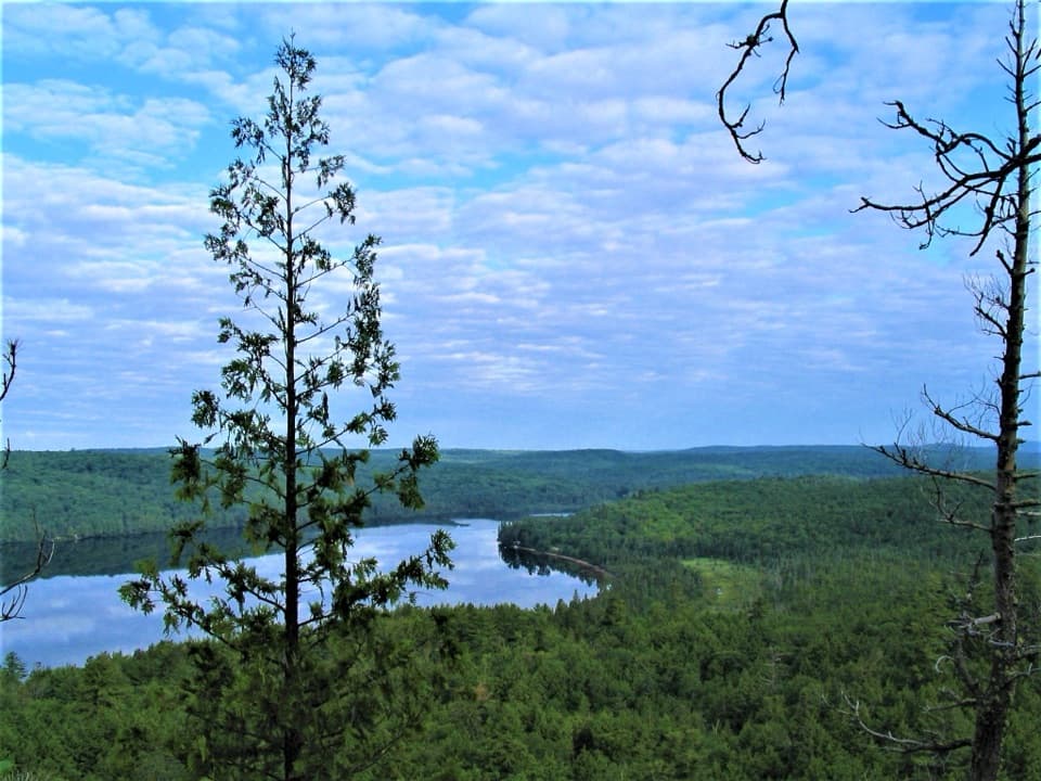
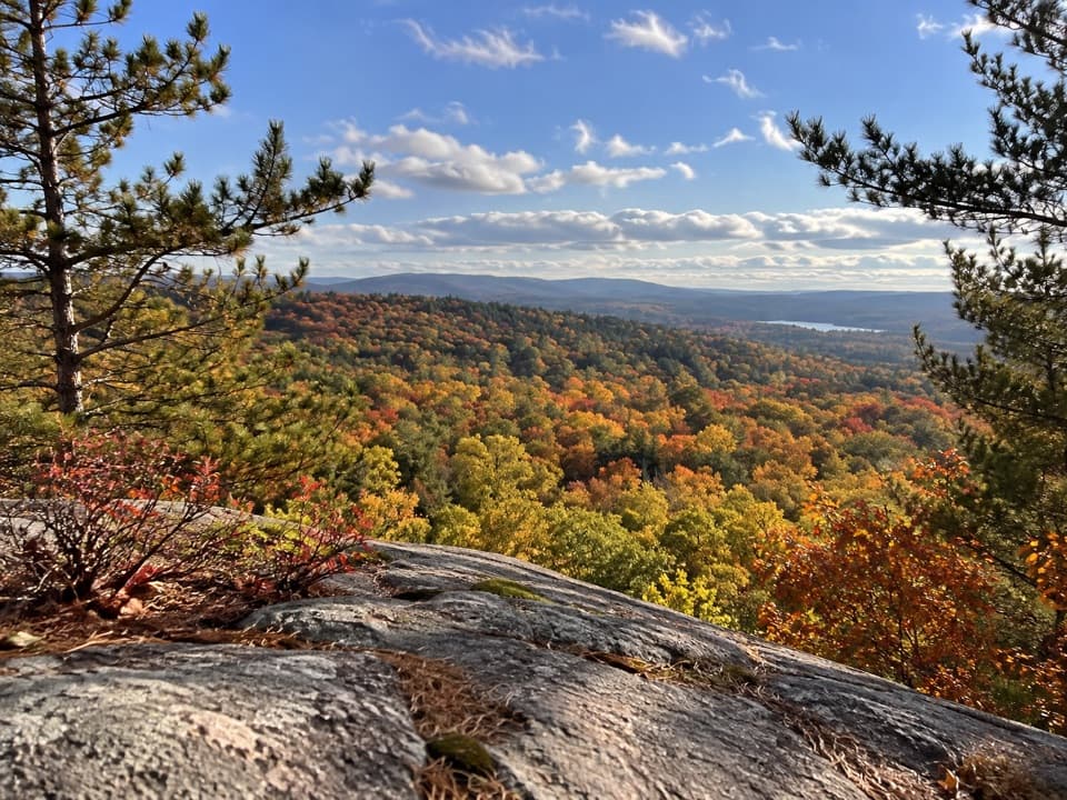
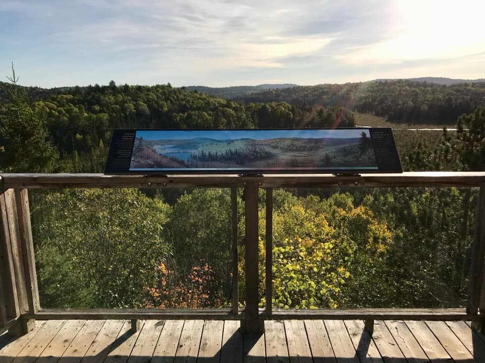
“You're nearing the Booth's Rock trailhead in the Rock Lake area. This difficult five-point-one-kilometre loop earns its climb with wide lake views; allow about three hours.”

Plays as you drive up to Rock Lake Campground in the Parkwolf Algonquin Tour Guide.

More stories near here in the app

  • Raccoon Lake Campground
  • Centennial Ridges Trail Access
  • A Shelter Made of Stream Debris
  • Pog, Kearney and Whitefish Lake Campgrounds
  • 107 audio storiesacross Algonquin’s roads, triggered by GPS as you drive
  • Wildlife heatmapsfor Moose, Eastern Wolf, Black Bear, and 13 more
  • Works offlinemaps, 39 trails, 66 places, and audio download before you lose signal
  • CarPlay readysimple controls built for the drive
★★★★★
“Fantastic app with many points of information… It’s great to just turn on while you’re driving and it gives you an audio tour of the national Park. We love it!!!!”
JMJamesApp Store review
Download Parkwolf on the App StoreGet Parkwolf on Google Play

4.7 from 8,600+ ratings

Guide

More about Rock Lake Campground

A lakeside base, with companyRock Lake Campground is a developed overnight campground in a pine forest, with more than 100…

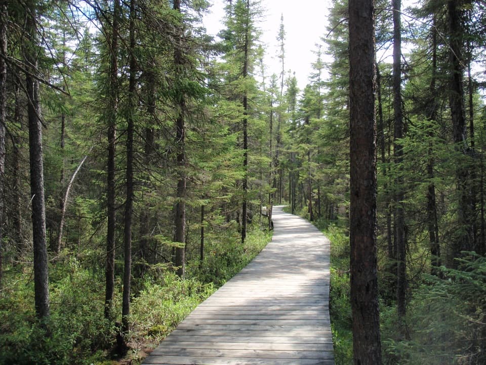
Rock Lake Campground is a developed overnight campground in a pine forest, with more than 100 sites across loops A and B. It makes a useful base for paddling, swimming and nearby Booth’s Rock Trail. The tradeoff is space: sites are fairly close together, so expect limited privacy and sound to carry between campsites. Lake-facing sites can feel more open.

Getting there and planning aheadFrom Highway 60 at km 40.3, take the gravel Rock Lake Road 8 km south.

From Highway 60 at km 40.3, take the gravel Rock Lake Road 8 km south. Reservations and fees apply. Save directions offline for the last stretch, and check on drinking-water and meal supplies before leaving Highway 60.

Wildlife

Wildlife in Algonquin

All Algonquin wildlife maps

Sighting maps show where each species has been reported across Algonquin. Wildlife moves, so no sighting is guaranteed.

Keep exploring

Near Rock Lake Campground

See it all on the map

Trails nearby

More stops nearby

Parkwolf’s Algonquin ranking

Top sights in Algonquin

All 66 places
  1. 1Barron Canyon LookoutSight
  2. 2Algonquin Logging MuseumSight
  3. 3Lake Opeongo Access Point and Opeongo StoreSight
  4. 4Canoe Lake Access Point and Portage StoreSight
  5. 5Booth's Rock LookoutSight
  6. 6LookoutSight

Take Parkwolf to Algonquin.

The audio tour guide for the drive, plus offline maps, trails, and wildlife heatmaps for when the signal drops.

4.7 from 8,600+ ratings

Download Parkwolf on the App StoreGet Parkwolf on Google Play