
Place
Moderate
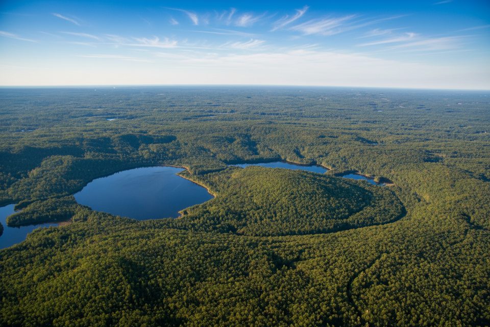
A compact interpretive loop that actually drops you into a real impact crater, Brent Crater Trail is all about geology over grand vistas. It’s a 2.0 km/1.24 mi loop (total) that descends to the present crater floor, then climbs back toward a roadside observation tower. Expect a quiet forest walk with signed stops that explain what you’re seeing—better for curious hikers than thrill seekers.
Don’t expect a dramatic “rim” like a volcano. From the tower you read the landscape: a vegetated ring and the broader, three‑kilometre‑wide depression beyond, with small crater‑area lakes adding context. On the loop itself you’ll feel the terrain shift as you drop into the basin, with chances to spot frogs and interesting fungi along the way. It’s understated, but standing inside a meteor crater is undeniably cool.
Moderate overall, with a short but meaningful descent and return climb that some find strenuous. Footing can be rocky and uneven in places, and occasional wet patches keep you watching your steps. Leashed dogs are permitted.
Reaching the trail is part of the adventure: it’s 32 km down Brent Road from Highway 17 on a long gravel approach that can have potholes and, at times, logging traffic. The observation tower sits beside Brent Road near km 32 with a small parking area; the loop starts nearby and is well signed. A valid day‑use permit is required to visit.
Listed as an all‑season option. The tower view is clearest in leaf‑off months (spring and late fall) when the rim reads more distinctly. Summer brings lush greens—and bugs—so pack strong repellent and consider a head net on still days. After spring thaw or heavy rain, expect slower driving on the gravel road.
Generally uncrowded, even in peak season. It’s a solid pick for geology fans, families looking for a short, teachable hike, and anyone who prefers interpretive stops to long mileage. If you’re chasing a sweeping, postcard‑style panorama, you may find the view underwhelming—start at the tower to calibrate expectations, then walk the loop to feel the crater from the inside.
Small signed parking by the roadside observation tower near km 32 on Brent Road; additional signed parking at the loop start. Allow extra time for the long gravel approach (32 km from Highway 17).
Uneven, rocky footing with a short but steep descent/ascent; heavy bugs in warm months; long gravel road with potholes and occasional logging trucks; shared portage—watch for canoeists.
Place

Place
Place
Place
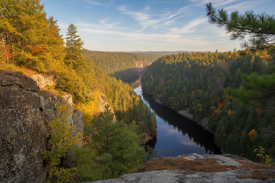
Easy
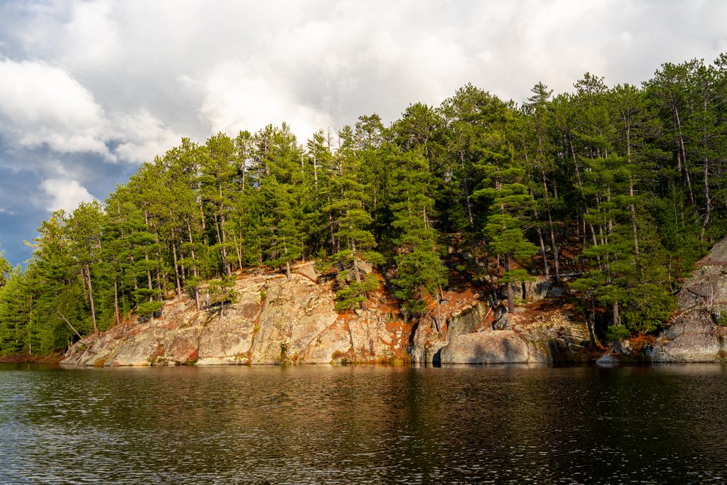
Challenging
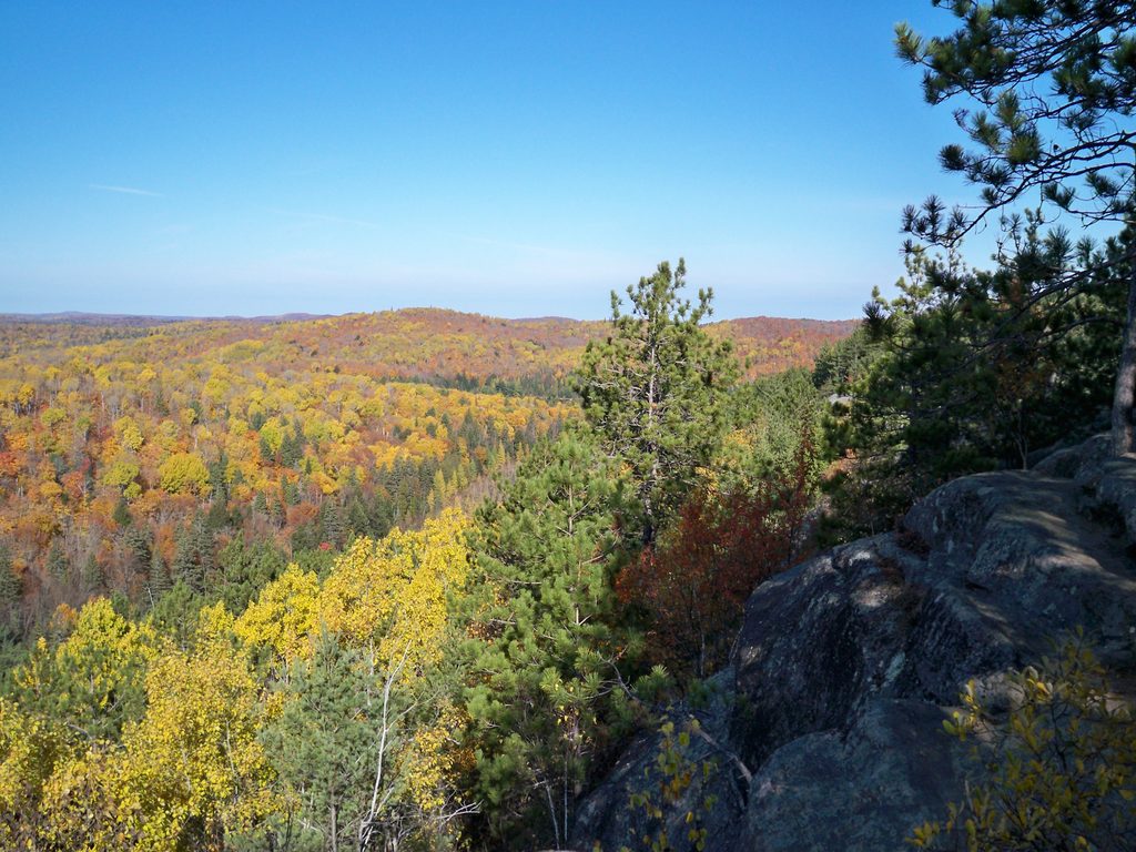
Moderate
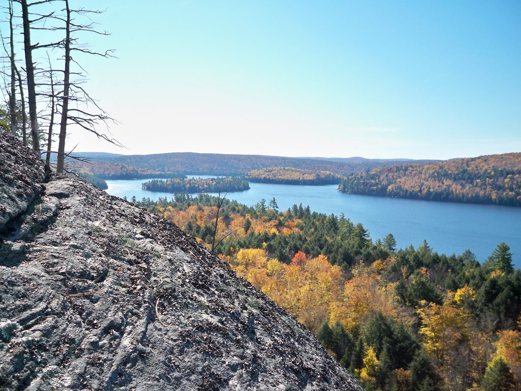
Moderate

Parkwolf Tour Guide
