Parking
Highland Backpacking Trailhead at km 29.7 of Highway 60 near Bat Lake Trail; parking and toilets are available at the trailhead.
Algonquin Provincial Park, ON
Challenging Provoking Lake loop with a permanent bridge-detour reroute
Overview
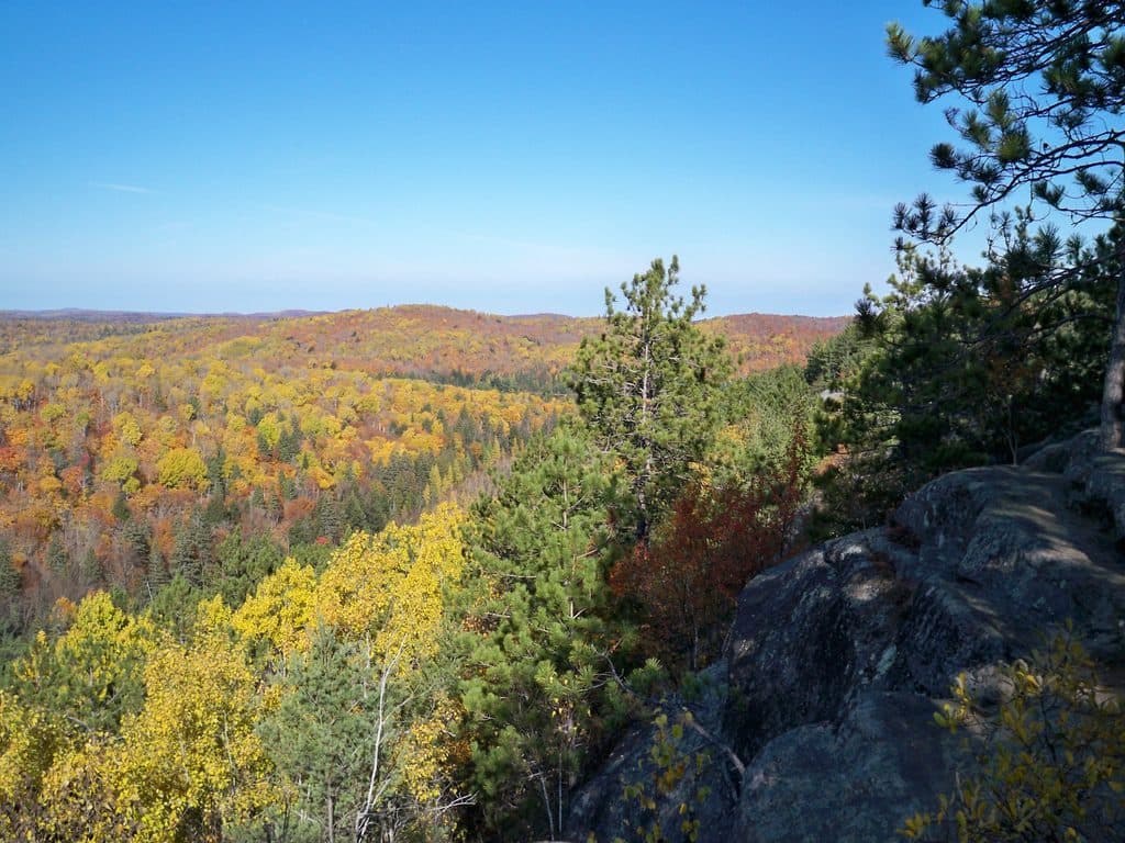
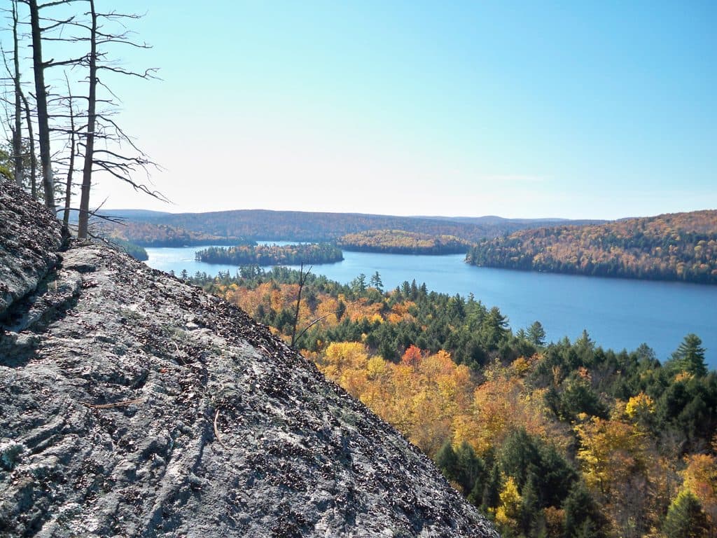
The Provoking Lake loop is the shorter circuit of Algonquin’s Highland Backpacking Trail, with forested ridges, rocky footing and backcountry lakeshore campsites. The mapped round trip from the Highland trailhead is approximately 23.3 km (14.5 miles), including the required Madawaska River bridge reroute.
Map & elevation
Plan your hike

The highest, rockiest slopes around here are a summer buffet for grizzly bears.
Algonquin Tour Guide
Parkwolf is a GPS audio tour guide for Algonquin Provincial Park. As you drive, it chimes in with what’s ahead: hidden gems, upcoming stops, history, geology, and wildlife, right through your car’s speakers.
Recorded for this trailhead
Highland Backpacking Trail: A Rugged Multi-Day Hike“The trailhead ahead marks the start of the Highland Backpacking Trail, one of Algonquin's designated multi-day backpacking routes.”
Plays as you drive up to this trailhead in the Parkwolf Algonquin Tour Guide.
More stories near here in the app
“Fantastic app with many points of information… It’s great to just turn on while you’re driving and it gives you an audio tour of the national Park. We love it!!!!”


Trail guide
Start at the Highland Backpacking Trailhead at Highway 60 km 29.7. Follow the Highland approach to the west-side junction before the removed bridge. Turn north on the connecting footpath to Mew Lake Campground, continue to the Old Airfield and join the Old Railway Bike Trail. Cross the Madawaska River on the Old Railway Bike Trail bridge, follow the former railbed back southwest, and rejoin the Highland trail toward Starling Lake. Complete the Provoking Lake loop and return using the same detour. Do not cross the removed Highland bridge or use shortcuts beside the river.
Ontario Parks lists 19 km and 35 km loops and advises that the bridge reroute adds approximately 2.7 km one-way to posted distances. Those posted figures and campsite-spur choices can differ from the measured line shown here; plan conservatively and carry the current Algonquin Backpacking Trails Map. Many visitors take an overnight trip; completing the whole loop in one day is a strenuous outing.
Backcountry campsite reservations and a valid park camping permit are required. Expect roots, exposed rock, muddy low spots, steep side slopes and limited cell coverage. Treat drinking water, store food appropriately in black-bear country, and keep dogs leashed where permitted. Carry navigation backups and be prepared for slippery footing.
The stored itinerary preserves the supported lake circuit and uses connected mapped paths for both passages of the bridge detour. The former Highland crossing has been permanently closed by Ontario Parks; no replacement bridge has been announced.
Wildlife
 1,230 sightingsMooseMost seen around 6 AMSighting map
 244 sightingsEastern WolfMost seen around 7 PMSighting map
 331 sightingsBlack BearMost seen around 7 PMSighting map
 603 sightingsLoonMost seen around 6 PMSighting map
 109 sightingsBald EagleMost seen around 11 AMSighting map
 191 sightingsRiver OtterMost seen around 6 PMSighting map
Sighting maps show where each species has been reported across Algonquin. Wildlife moves, so no sighting is guaranteed.
Keep exploring
 ChallengingHighland Backpacking Trail – Provoking Lake Loop23.3 km · 10 hr · At the trailheadA rugged Provoking Lake backpacking loop with lakeside campsites and a required Madawaska River reroute.
 ChallengingHighland Backpacking Trail37.8 km · 16 hr · At the trailheadRugged outer-loop backpacking route through lakes, forest, and scenic lookouts
 ModerateBat Lake Trail5.8 km · 2.3 hr · 0.5 km awayHemlocks, boardwalks, and a quiet tea-colored lake loop.
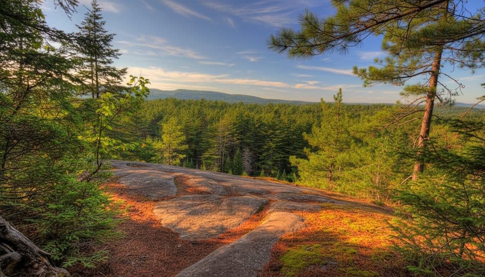 ModerateTwo Rivers Trail2.3 km · 1 hr · 1.2 km awayShort moderate forest loop to a pine-clad cliff with big Algonquin views
 ModerateHemlock Bluff Trail3.5 km · 1.7 hr · 2.3 km awayShady hemlock loop to bluff views over Jack LakeEasyOld Railway Bike Trail16.1 km · 2.5 hr · 4 km awayFlat, 16 km point-to-point rail trail through Algonquin's Highway 60 corridor.
 ChallengingTrack and Tower Trail7.9 km · 3 hr · 4.3 km awayDemanding 4.9-mile loop to Cache Lake lookouts, with railway history and a steep tower climb.
 ChallengingCentennial Ridges Trail10.5 km · 5 hr · 8.4 km awayA demanding two-ridge loop with frequent lake and forest lookouts in Algonquin.
 Campground · 0.8 km awayMew Lake CampgroundYear-round campground with power, quiet loop, and lakeside beach
 Sight · 1.2 km awayProvoking FallsA quick walk to a wide, swimmable cascade on the Madawaska
 Sight · 1.4 km awayMew Lake Airfield (Old Airfield)Open meadow for easy wildlife watching beside Mew Lake
 Sight · 1.5 km awayBat LakeQuiet little lake on a mellow loop off Highway 60
 Restaurant · 1.6 km awayLake of Two Rivers Cafe and GrillCampground cafe for poutine, ice cream, and last‑minute supplies
 Store · 1.6 km awayLake of Two Rivers StoreAll-in-one camp store for groceries, meals, and bike rentals
 Campground · 1.9 km awayLake of Two Rivers CampgroundBusy beachside campground with a store, café, and easy trail access
 Sight · 2.1 km awayHemlock Bluff LookoutShort forest hike to a peaceful Jack Lake bluff view
Parkwolf’s Algonquin ranking

The audio tour guide for the drive, plus offline maps, trails, and wildlife heatmaps for when the signal drops.