Lata Mountain Summit in American Samoa National Park

#7 of 10 sights in American Samoa

Sight · American Samoa National Park

Lata Mountain Summit

A serious climb through cloud forest to American Samoa’s high point.

Type
Sight
Nearest trail
2.1 mi

Hear the audio tour

Luatele Crater Trail near Fitiʻuta

Overview

About Lata Mountain Summit

Why stop

  • A rare chance to reach American Samoa’s highest point in fern-rich cloud forest.

Heads up

  • Remote, strenuous route with no verified current trail conditions.
Lata Mountain Summit is the high point of Taʻū and American Samoa, at 3,170 feet. It’s a remote, strenuous rainforest climb, not a quick viewpoint stop. If standing on the territory’s high point is your goal, it earns a day; skip it if you want an easy stop or a guaranteed panorama.
Parkwolf’s verdictIs this summit day for you?

Map

Where it is

Loading the American Samoa map
Full map
SightLata Mountain Summit-14.23304, -169.45243
Keep this map with you offline in the Parkwolf app

Plan your stop

Before you go

2 active American Samoa alerts

  • CautionSmall Craft and High Surf AdvisoriesSmall Craft and High Surf Advisories are active in American Samoa; boaters and people using the coast should change plans as needed and follow safety officials’ advice.Official details
  • ClosureMount Alava and Fatifati trails closedThe Mount Alava Trail and the Fatifati Trail from Fagasa Pass to the summit are closed until further notice for trail improvement work.Official details
American Samoa alerts
A park ranger sits on a dash-mounted phone, talking, as Parkwolf’s Tour Guide plays “Army Cutworm Moths: A Grizzly Bear Buffet” on Grand Loop Road below Dunraven Pass in Yellowstone
Parkwolf Tour GuideThe highest, rockiest slopes around here are a summer buffet for grizzly bears.

American Samoa Tour Guide

Your drive to Lata Mountain Summit, narrated.

Parkwolf is a GPS audio tour guide for American Samoa National Park. As you drive, it chimes in with what’s ahead: hidden gems, upcoming stops, history, geology, and wildlife, right through your car’s speakers.

Recorded for this place

Luatele Crater Trail near Fitiʻuta
0:00 / 0:24
“You're approaching the Luatele Crater trailhead near Fitiʻuta airport. The one point eight-mile round trip takes about two hours, with steep switchbacks to a crater viewpoint.”

Plays as you drive up to Lata Mountain Summit in the Parkwolf American Samoa Tour Guide.

More stories near here in the app

  • Siʻu Point Trail and Saua Village
  • 15 audio storiesacross American Samoa’s roads, triggered by GPS as you drive
  • Wildlife heatmapsfor Noddy, Samoan Starling, Butterflyfish, and 4 more
  • Works offlinemaps, 10 trails, 15 places, and audio download before you lose signal
  • CarPlay readysimple controls built for the drive
★★★★★
“Fantastic app with many points of information… It’s great to just turn on while you’re driving and it gives you an audio tour of the national Park. We love it!!!!”
JMJamesApp Store review
Download Parkwolf on the App StoreGet Parkwolf on Google Play

4.7 from 8,600+ ratings

Guide

More about Lata Mountain Summit

Getting to the true high pointA detailed route account from 2019 describes a steep climb to a radio tower on the summit…

A detailed route account from 2019 describes a steep climb to a radio tower on the summit ridge, followed by a difficult, brushy traverse to the actual high point. Treat its mileage and timing as historical, not current directions: today’s trail clearance and any access requirements for Lata are unconfirmed. NPS recommends local guides for Manuʻa trails away from main roads and recently cleared routes, so ask locally before starting. No summit facilities or food were verified; plan this as a remote outing.

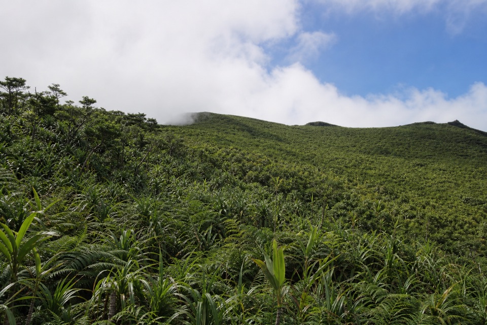
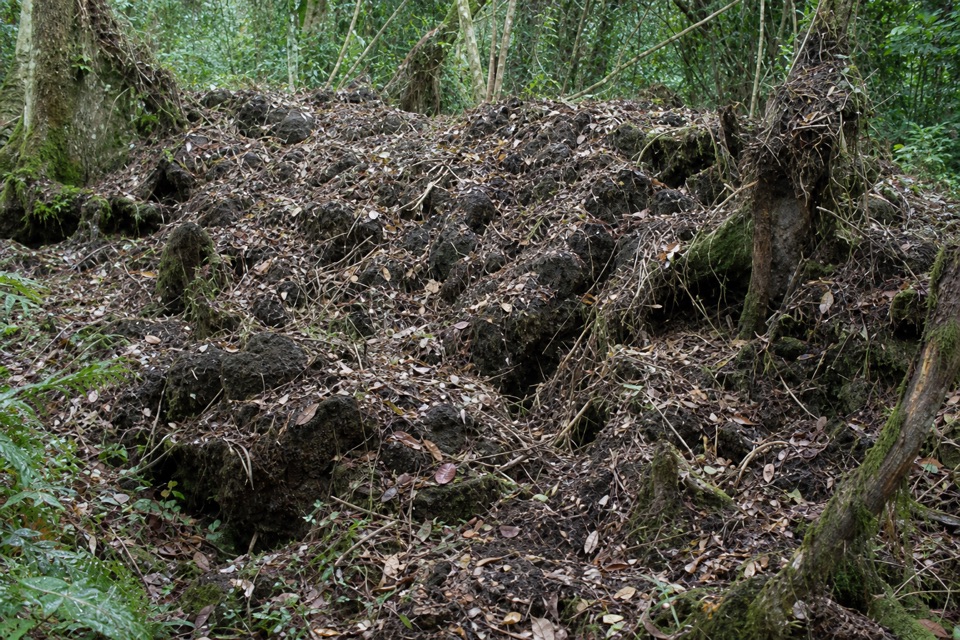
Inside the cloud forestFog isn’t a rare bad-luck day here. NPS says Lata is almost always draped in cloud.

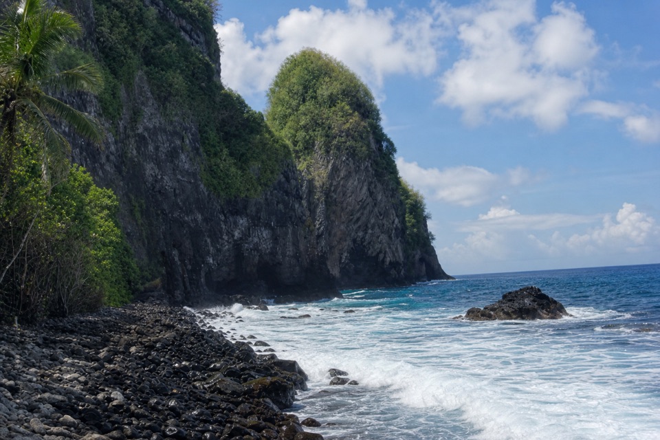
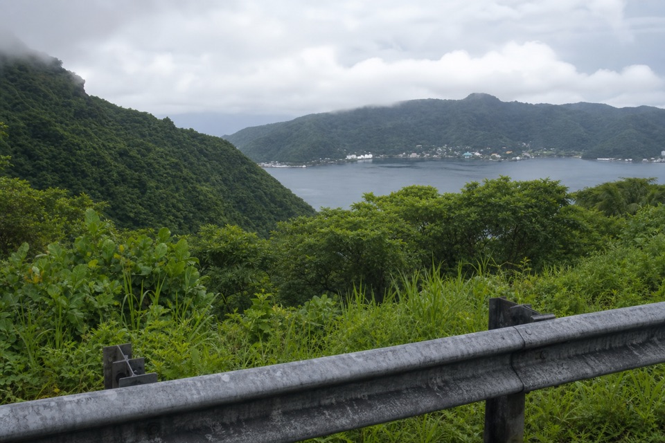
Fog isn’t a rare bad-luck day here. NPS says Lata is almost always draped in cloud. Its mossy cloud forest supports a large community of ground and tree ferns, and the mountain receives more than 300 inches of rain a year. Set your expectations for the wet, green interior; a wide view may not open up.

The island is the volcanoTaʻū is the exposed top of a shield volcano, with most of the mountain underwater.

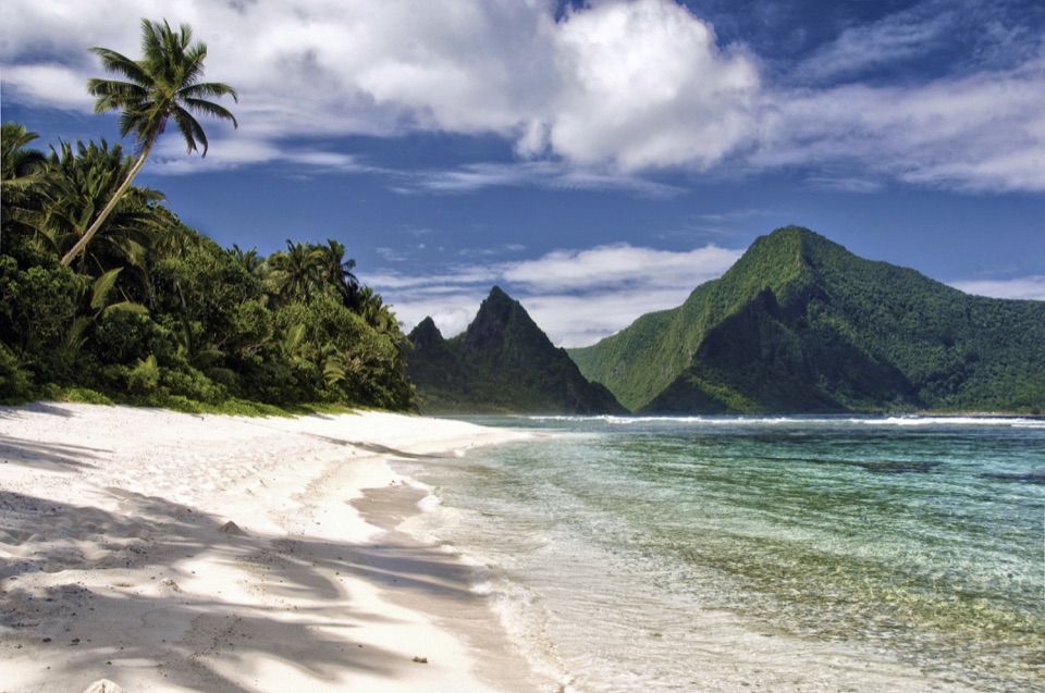
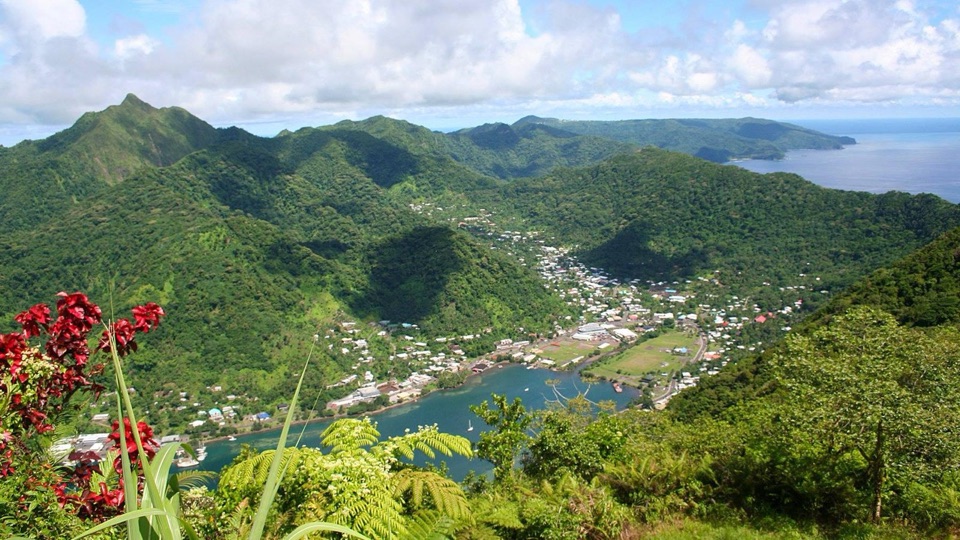
Taʻū is the exposed top of a shield volcano, with most of the mountain underwater. Its high interior is a summit caldera, and landslides removed much of the southern side. The island’s ridges are the crest of a much larger volcano, even when cloud hides the shape from the summit.

If the clouds openWhen visibility lifts, frame the rounded green ridge with the fern-covered slope in the…

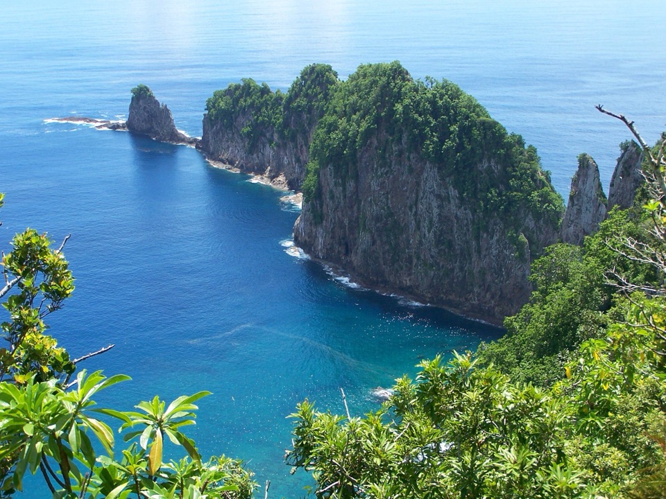
When visibility lifts, frame the rounded green ridge with the fern-covered slope in the foreground. The mist and ridge are worth photographing on their own; don’t make the day depend on a long-distance panorama.

Wildlife

Wildlife in American Samoa

All American Samoa wildlife maps

Sighting maps show where each species has been reported across American Samoa. Wildlife moves, so no sighting is guaranteed.

Parkwolf’s American Samoa ranking

Top sights in American Samoa

All 15 places
  1. 1Ofu BeachBeach
  2. 2Pola Island BeachBeach
  3. 3Mount Alava SummitSight
  4. 4Lower Sauma Ridge OverlookSight
  5. 5Saua VillageSight
  6. 6Afono Pass OverlookScenic pullout

Take Parkwolf to American Samoa.

The audio tour guide for the drive, plus offline maps, trails, and wildlife heatmaps for when the signal drops.

4.7 from 8,600+ ratings

Download Parkwolf on the App StoreGet Parkwolf on Google Play