Parking
Use the signed trailhead just up the road from the Fitiʻuta airport turnoff. A named lot and parking arrangement were not documented; confirm the approved place to leave a vehicle with the park.
#10 of 10 trails in American Samoa
American Samoa National Park, AS
A steep rainforest climb to a crater-rim viewpoint.
Overview
Map & elevation
Plan your hike

The highest, rockiest slopes around here are a summer buffet for grizzly bears.
American Samoa Tour Guide
Parkwolf is a GPS audio tour guide for American Samoa National Park. As you drive, it chimes in with what’s ahead: hidden gems, upcoming stops, history, geology, and wildlife, right through your car’s speakers.
Recorded for this trailhead
Luatele Crater Trail near Fitiʻuta“You're approaching the Luatele Crater trailhead near Fitiʻuta airport. The one point eight-mile round trip takes about two hours, with steep switchbacks to a crater viewpoint.”
Plays as you drive up to this trailhead in the Parkwolf American Samoa Tour Guide.
More stories near here in the app
“Fantastic app with many points of information… It’s great to just turn on while you’re driving and it gives you an audio tour of the national Park. We love it!!!!”


Trail guide
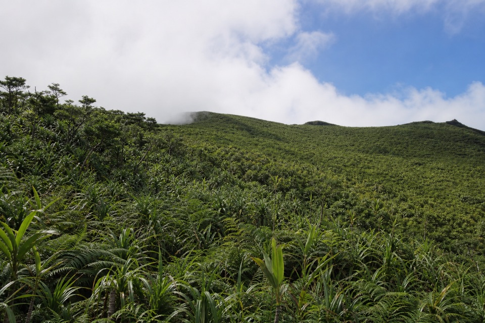
Luatele Crater Trail is a 1.8-mile out-and-back from the Fitiʻuta airport side of Taʻū to a viewpoint above Luatele (Judd’s) Crater, with about 864 feet of climbing. The mapped corridor runs 0.9 mile to the crater area, then returns along the same path. It follows the lower Lata approach; the longer Mount Lata route continues beyond the crater. Allow about two hours. Expect a short hike with a serious climb.
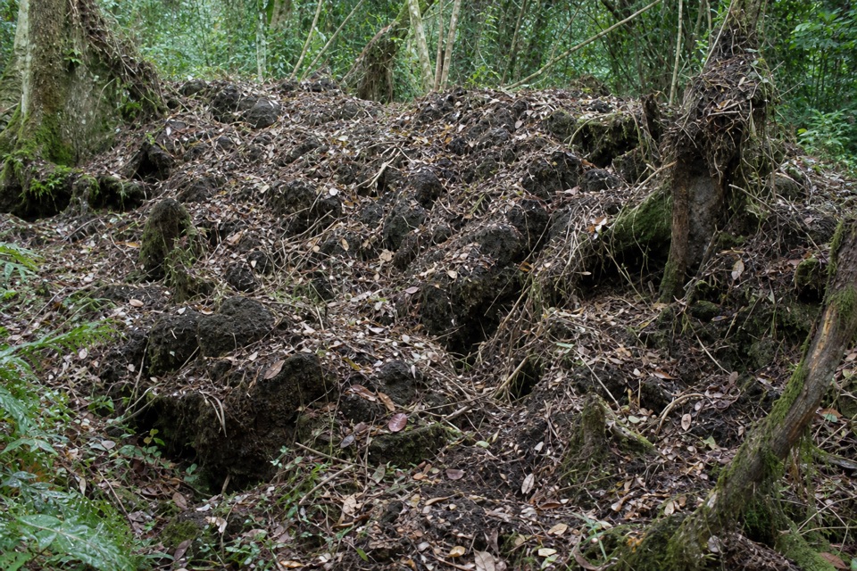
Start at the signed trailhead just up the road from the Fitiʻuta airport turnoff. The path climbs beneath palms, where fallen leaves can hide the tread, then rises on steep switchbacks. A former plantation road gives the longer Lata climb a brief flatter break around 600 feet. Near 1,200 feet, a short spur reaches the crater overlook. From there, return the way you came.
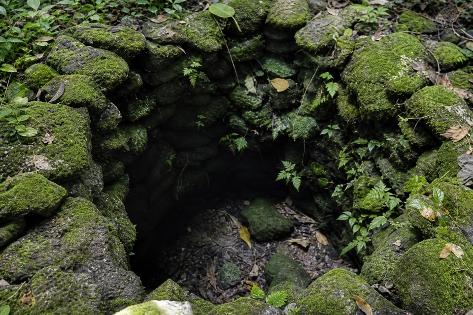
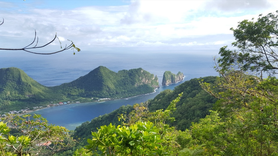
The overlook looks toward Judds Crater, which the park map also labels Luatele Crater. An archaeological survey recorded 101 features in and around the crater, including precontact stone walls and terraces along the rim. Take a look without shifting or climbing on the stonework; these are historic features, not trail markers.
The park describes Luatele among the minimally maintained, challenging trails on Manuʻa, and local park guides are often available. Ask the park about guidance and current access before traveling to Taʻū. Pets are not allowed on hiking trails. The route is steep enough that this is a poor pick if you want an easy viewpoint walk.
Wildlife
 19 sightingsNoddyMost seen around 6 PMSighting map
 11 sightingsSamoan StarlingMost seen around 9 AMSighting map
 17 sightingsButterflyfishMost seen around 11 AMSighting map
 18 sightingsHermit CrabMost seen around 5 PMSighting map
 10 sightingsMigratory ShorebirdMost seen around 7 AMSighting map
 11 sightingsCane ToadMost seen around 7 PMSighting map
Sighting maps show where each species has been reported across American Samoa. Wildlife moves, so no sighting is guaranteed.
Keep exploring
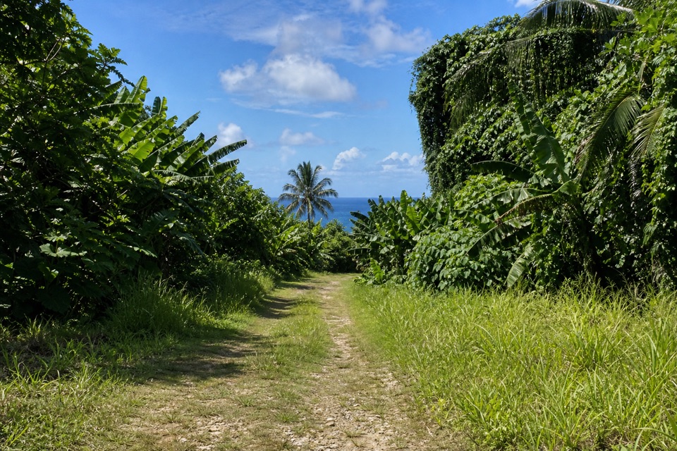 ModerateSiʻu Point Trail5.7 mi · 3 hr · 0.5 mi awayAn old coastal road through forest to Taʻu’s southeast tip.
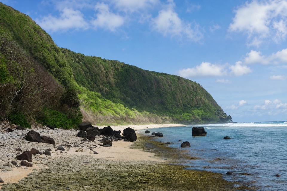 ModerateOge Beach Trail2.7 mi · 2.5 hr · 13.2 mi awayA coral-rubble beach with frigatebirds along the ridge.
Parkwolf’s American Samoa ranking

The audio tour guide for the drive, plus offline maps, trails, and wildlife heatmaps for when the signal drops.