Place
Moderate
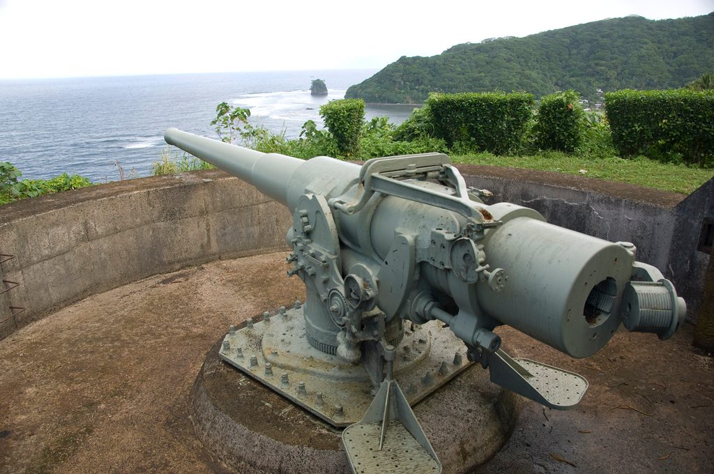
A quick punch of a hike above Utulei that mixes lush rainforest with tangible World War II history. The Blunts Point Trail climbs from the harbor-side village area to the Blunts Point Battery—well-preserved WWII coastal guns that once guarded Pago Pago Harbor. It’s short but gets your legs working, and the payoff is a commanding view that makes the history click.
Plan on roughly 0.6 miles total, out-and-back. It’s short, but expect a steady, sometimes steep climb with uneven dirt and rock underfoot. Most hikers take 30–60 minutes, longer if you linger at the guns or keep exploring beyond them. Elevation gain is modest (about 200–300 feet), but the humidity and slick spots after rain make it feel spicier than the stats suggest.
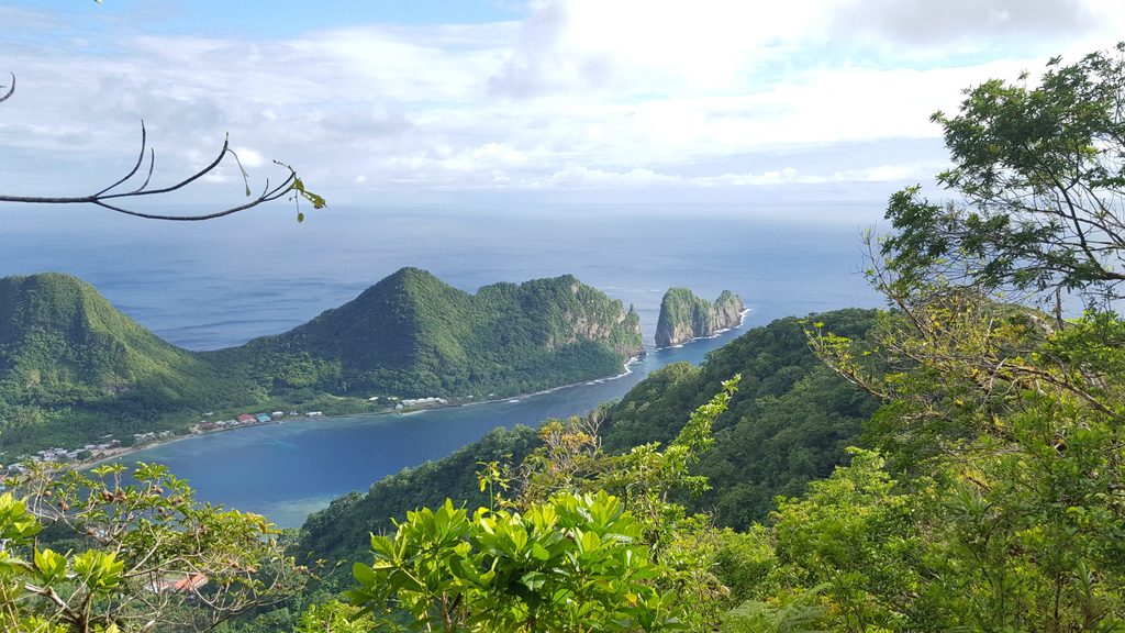
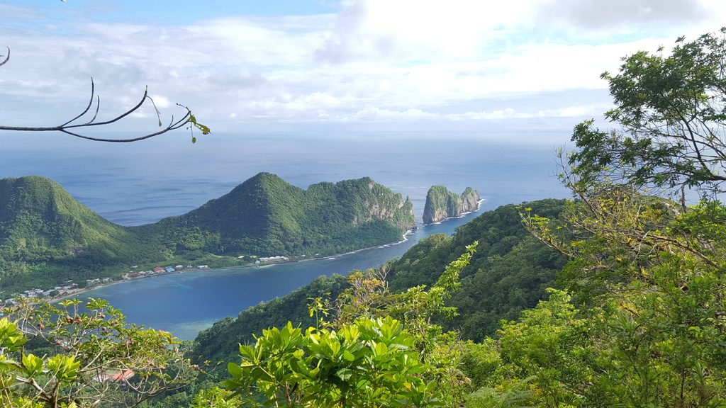
You’ll wind through dense tropical forest—shaded, breezy in places—before the path opens to vistas over Pago Pago Harbor. Up top, the WWII gun emplacements are the star. Interpretive signs explain how these batteries were installed to protect the harbor during the war. Past the guns, the path continues and grows rougher; sections can be overgrown with a few rope-assisted steeps and occasional downed trees. Views tend to be best near the big green water tank just below the end.
The route is straightforward. Look for a small trail sign near the IBM Laundromat in Utulei and park in the public lot on the harbor side about 100 yards away. As you climb, when you reach the water tank, keep left to the battery. Trails around the harbor are minimally maintained—expect roots, slippery dirt, and a few muddy ruts after rain. The guns and tramway remnants are historic—admire, don’t climb.
Go early morning or late afternoon for cooler temps, softer light, and clearer harbor views. June through September tends to be drier; November through April can be wetter and muddier, with fewer people. Weather flips fast here year-round, so pack a light rain layer either way.
These batteries sit above village lands outside the official national park boundary—be respectful around homes, churches, and historic sites. There are no facilities at the trailhead or on the trail, so bring water and sun/bug protection. If you want a similar history-meets-view hike on the opposite side of the harbor, consider the Breakers Point area.
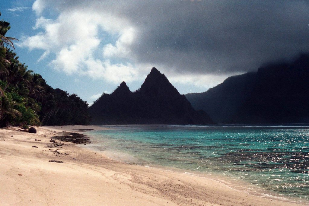
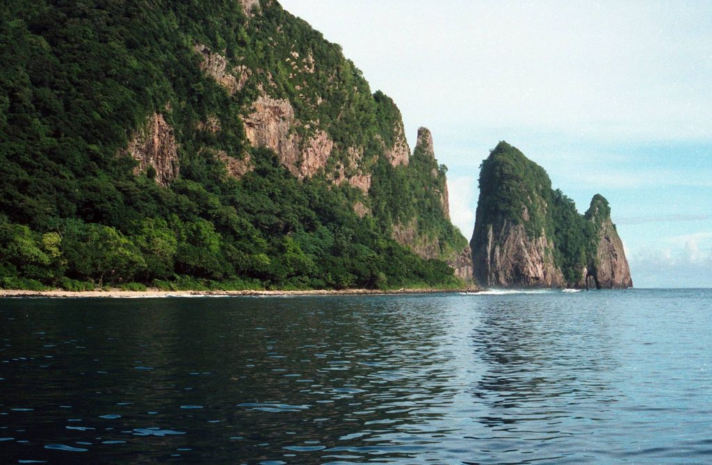
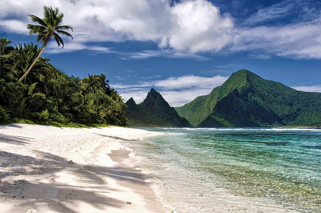
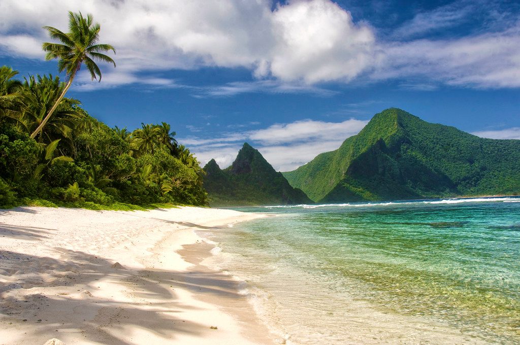
You’re hiking classic Tutuila volcanic terrain: steep, jungle-clad slopes cut by rocky outcrops. Keep an eye out for tropical birds flitting through the canopy—and, if you’re lucky, the alien-looking Coconut Crab near the ground or by roots and rocks.
Use the public lot on the harbor side about 100 yards from the trailhead; look for the small sign near the IBM Laundromat in Utulei.
Expect muddy, slippery footing after rain, uneven steps, and occasional downed trees; respect village lands and do not climb on the historic gun emplacements.
Challenging
Challenging
Challenging
Moderate

Parkwolf Tour Guide