Place
Challenging
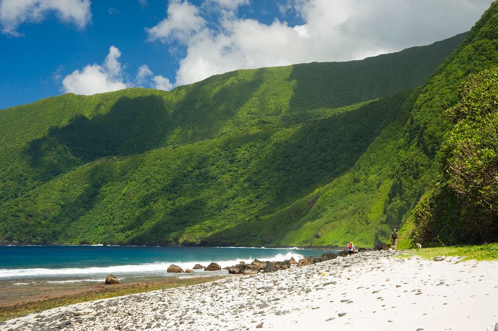
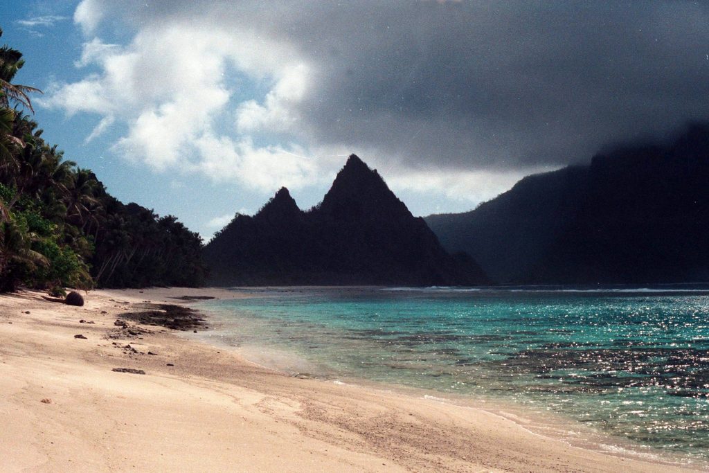
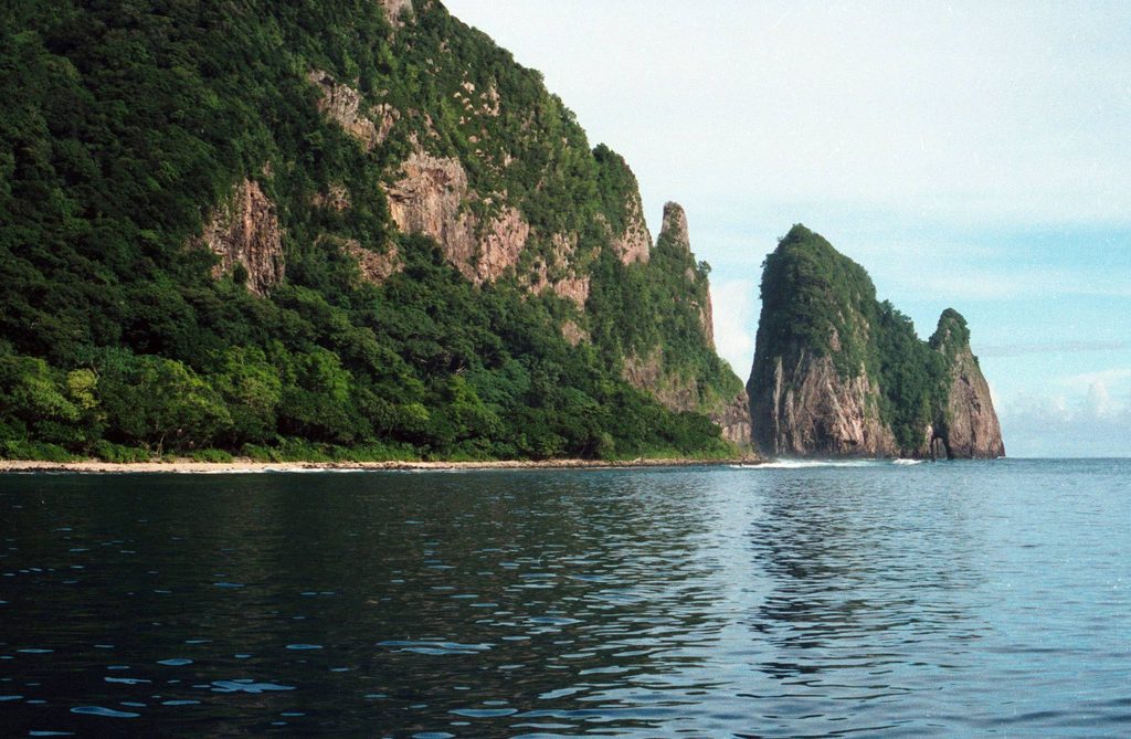
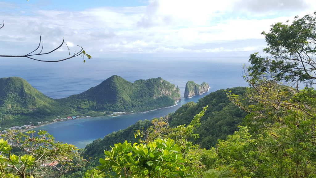
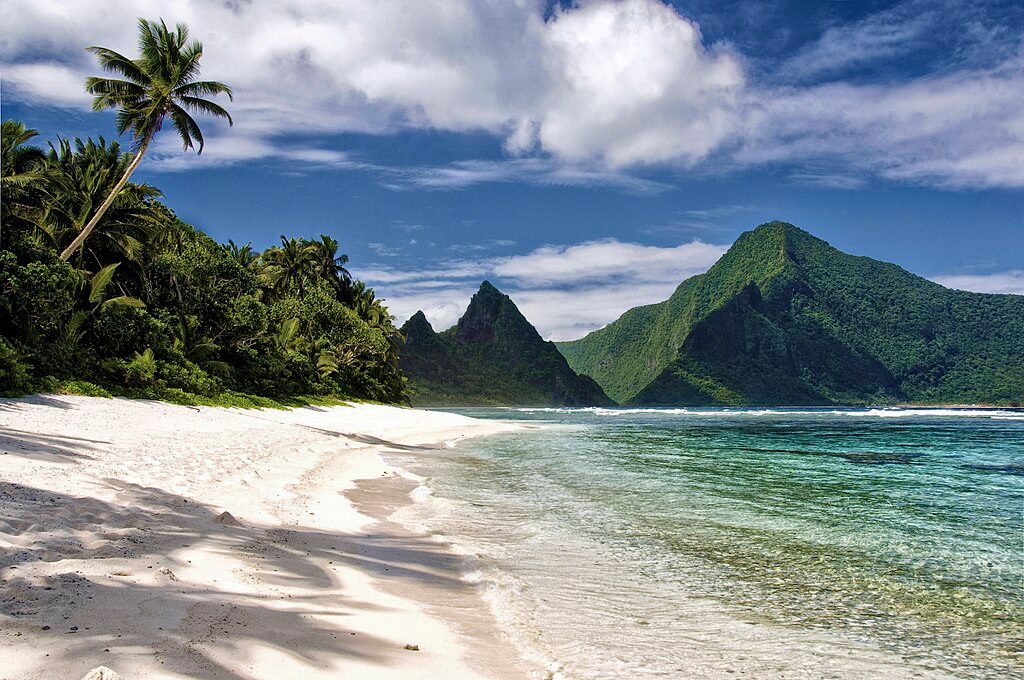
This is the park’s big, burly summit push on Ta‘ū Island. Expect a strenuous out-and-back climb to the highest point in American Samoa through dense tropical rainforest and volcanic terrain. Plan for about 5.0 miles total (round trip) with very steep grades and a hefty elevation gain. Strong, experienced hikers typically need 8–10 hours round trip when the upper ridge is overgrown.
The route starts under palms and quickly commits to a sustained climb. Around 600 feet you’ll briefly follow an old coconut plantation road before the grade kicks back up. Near 1,200 feet, a short spur leads to an overlook of Judd’s Crater—an ancient volcanic caldera worth the detour. Keep an eye out for old Polynesian stone walls along the way, subtle but fascinating clues to historic land use.
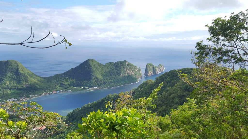
Higher up (around 2,500 feet), the path ascends a mossy stream and lava flow where light scrambling and careful footwork come into play. You’ll top out on a narrow summit ridge marked by an NPS radio tower; the true high point lies farther along a densely vegetated ridge that can be slow and scratchy. On clear days, the summit delivers sweeping views over Ta‘ū and the surrounding Pacific.
Lower sections are generally clearer; the upper ridge can be faint or overgrown, and conditions vary with recent maintenance and weather. Expect dirt, mud, roots, moss, and slick rock—especially after rain. Navigation near the summit often benefits from GPS and prior track knowledge; occasional ribbon flags may exist but are not guaranteed.
May–October is the sweet spot: drier, a bit cooler, and less muddy. November–April is wetter, muddier, and buggier, which makes the already tough upper section slower and more hazardous. Start early to bank daylight for both the ascent and descent and to improve your odds of clearer views.
Look for fruit bats circling the canopy and listen for a variety of native forest birds. The landscape is volcanic—Judd’s Crater and mossy lava flows tell the story—and the rainforest ecosystem cloaks nearly every surface in green.
Limited roadside pull-off near the informal start by Fiti‘uta village on Ta‘ū; no designated lot or services.
Very steep, slick terrain; upper ridge often overgrown with faint tread. Avoid heavy rain, carry enough water and calories, and bring navigation tools for the summit area.
Challenging
Challenging
Challenging
Moderate

Parkwolf Tour Guide