Place
Challenging
Maugaloa Ridge is the rugged, no-nonsense backbone of Tutuila: a narrow, jungled spine that rewards persistence with wide-open views of the island’s north and central reaches. Starting at the top of Fagasa Pass and running roughly four miles one way along the ridge to the summit area near the television tower and former cable car terminus, this is a committing hike best for folks who don’t mind steep, uneven footing and the occasional bushy section.
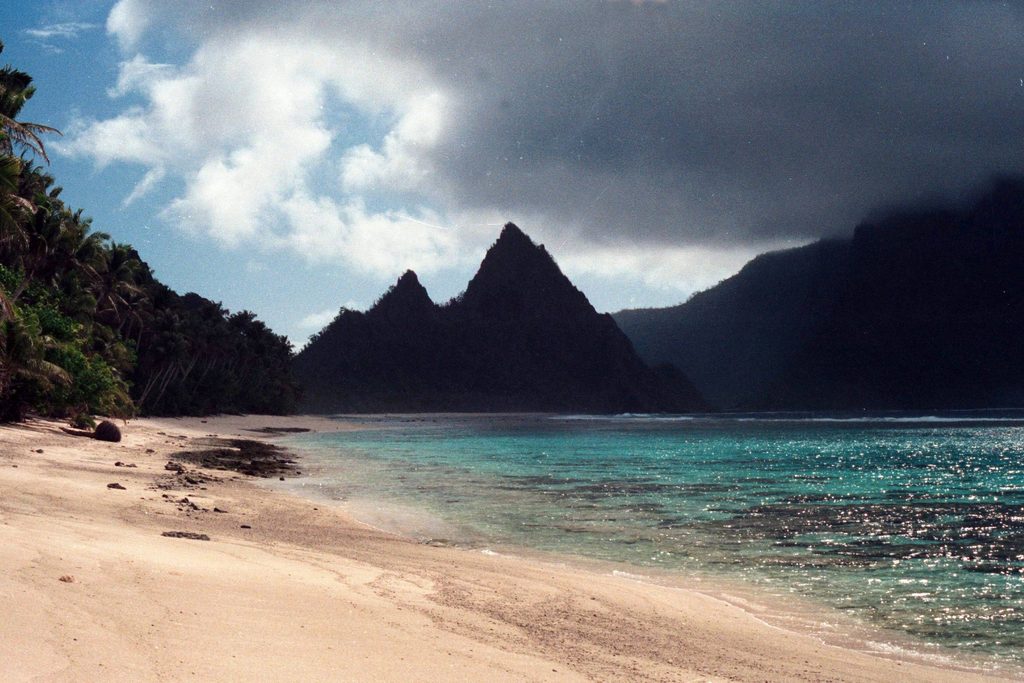
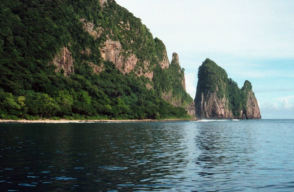
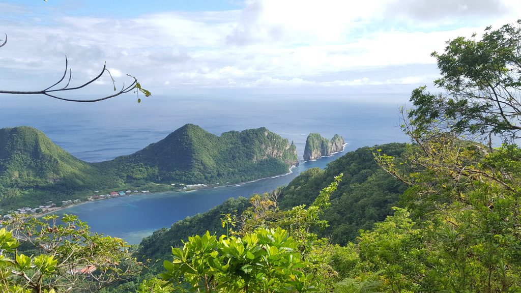
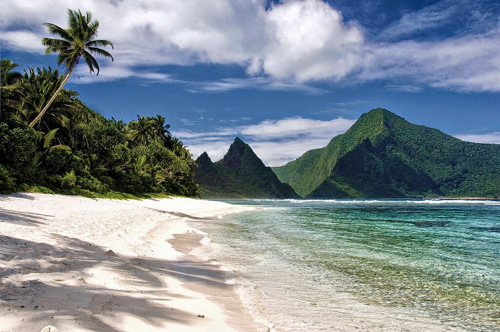
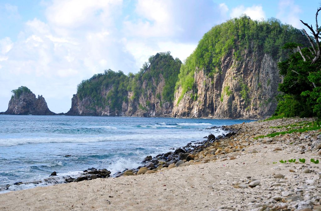
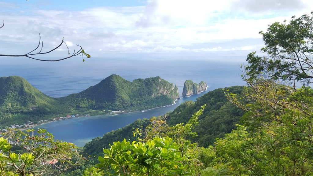
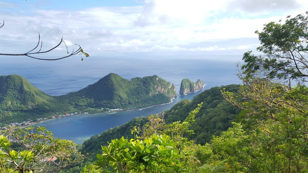
Expect lush tropical rainforest, volcanic ridgelines, and periodic openings where the island spills out beneath you—coastline, interior mountains, and Pago Pago Harbor from the summit area. The endpoint’s historic twist—the remnants of the old cable car system—adds character to the views. Keep an eye out for native birds flitting through the canopy and fruit bats overhead, especially in the morning.
This is an unimproved, ridge-top route: steep in spots, narrow with drop-offs in places, and often muddy and slick after rain. Overgrowth can hide roots and rocks, and signage is minimal. Consider this moderate-to-hard; experienced hikers will find it rewarding, but it’s not a good choice for beginners. The route is point-to-point; many hikers treat the four miles as a one-way and arrange a pickup, while an out-and-back doubles both distance and effort.
Plan for about 4 miles one way from Fagasa Pass to the summit/old cable car area. Most hikers take around 3–4 hours one way, depending on mud, overgrowth, and how often you stop for the views. Elevation gain is sustained along the ridge and feels bigger than the numbers suggest due to footing and humidity.
It’s hikeable year-round, but the rainforest climate means frequent showers. You’ll get somewhat firmer footing and clearer views in the drier May–September window, though rain is possible any time. Start early to avoid afternoon heat and the highest chance of tropical downpours.
You’re walking a classic basaltic volcanic ridge—thin soils, quick runoff, and that dramatic knife-edge character in places. It’s a quiet trail with real solitude; if you’re after a manicured stroll, look elsewhere. If you crave a wild ridge and big views with a dash of history, this one delivers.
Trailhead at the top of Fagasa Pass via Highway 005.
Unimproved ridge with steep, uneven, often muddy footing; minimal signage and periodic overgrowth; steep drop-offs in places; frequent rain; unreliable cell service—tell someone your plan.
Challenging
Challenging
Challenging
Moderate

Parkwolf Tour Guide