Place
Challenging
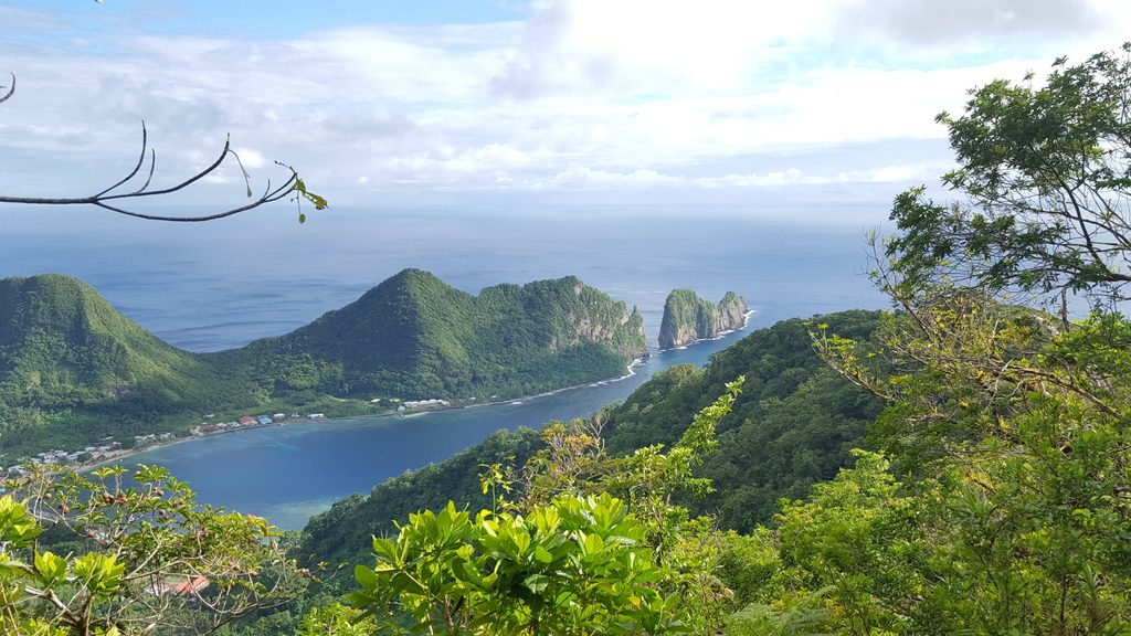
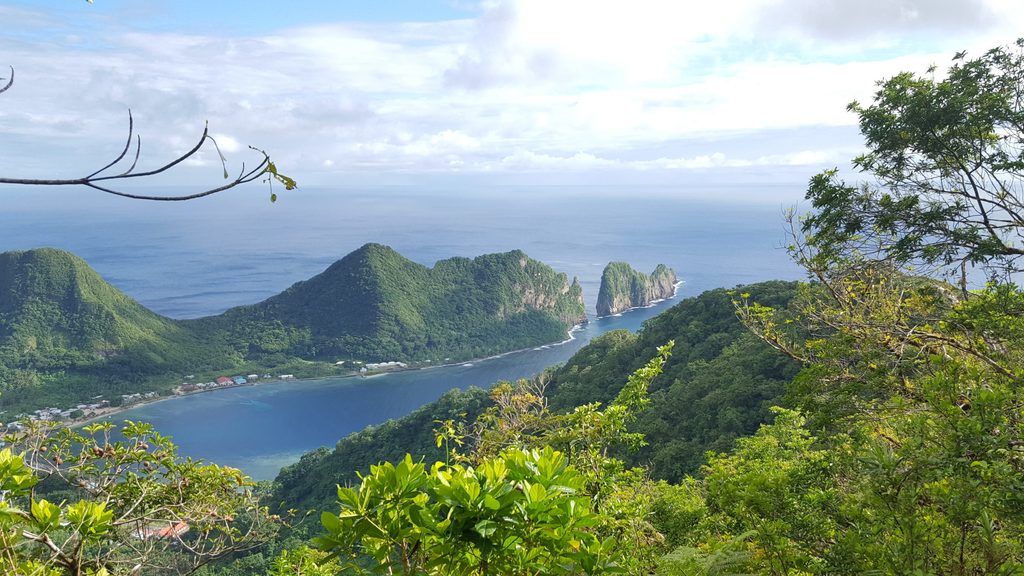
This is the park’s definition of wild: a minimally maintained, challenging route that pushes up to the summit of Piumafua Mountain (2,095 ft) on Ta‘u Island. Expect solitude, dense rainforest, and big-ocean panoramas if the weather plays nice. It’s a serious outing for experienced hikers who like their trails steep, remote, and a little overgrown.
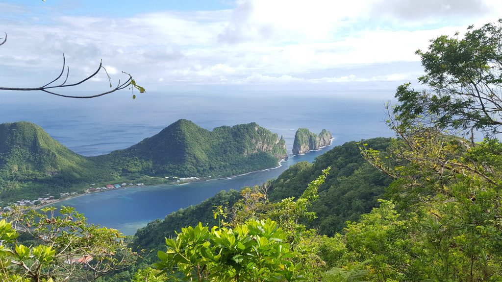
The out-and-back route is 5.7 miles total. It begins in Fiti‘uta Village at the southeast tip of Ta‘u; after the last houses, the main road becomes a dirt track—that’s your start. From there, the path climbs steadily through thick, tropical forest with limited signage and sections that can be brushy. Footing ranges from dirt track to narrow, muddy tread. Near the top, gradients stiffen before delivering sweeping views over Ta‘u’s volcanic interior, lush canopy, coastline, and the Pacific.
This is a challenging hike. The trail is minimally maintained, with steep ascents, potentially overgrown stretches, and sparse markers. Surfaces get slick fast after rain. There are no facilities or reliable water along the way. Plan for a sustained climb and careful navigation; allow at least half a day and start early.
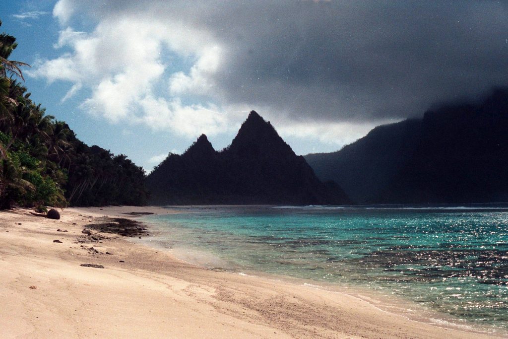
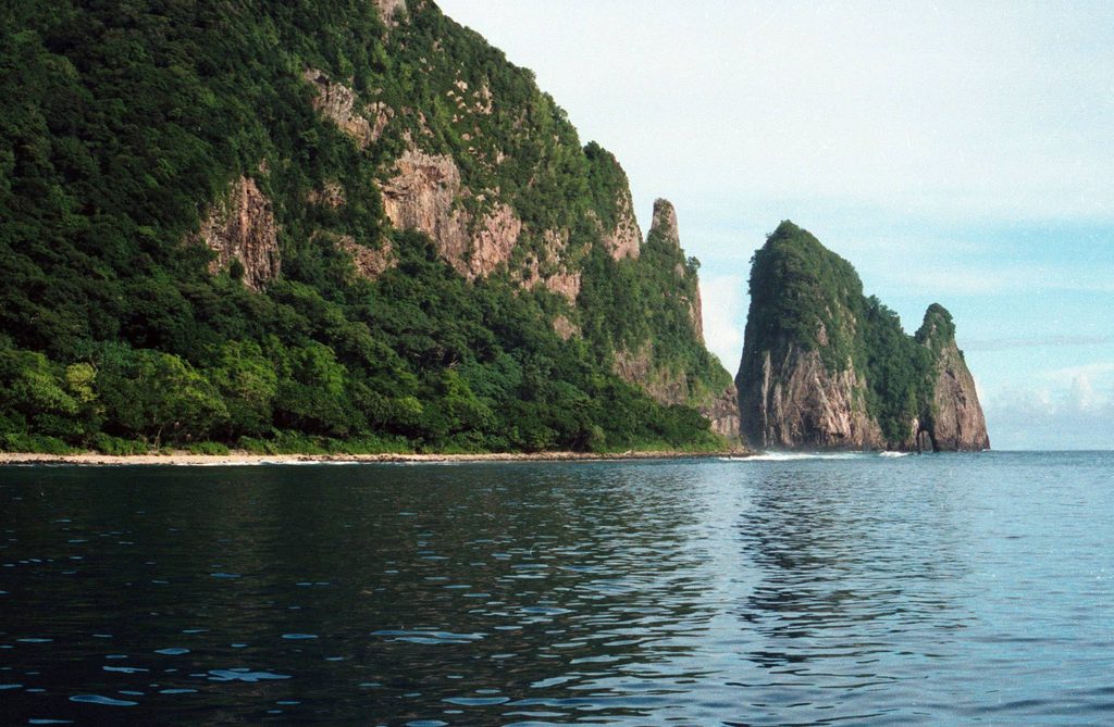
Piumafua sits in a rugged volcanic landscape—steep slopes and dramatic relief are the rule here. You’ll move through dense rainforest with towering trees and ferns, accompanied by birdsong and the occasional wildlife sighting. Crowds are rare; the draw is immersion and solitude rather than an easy stroll.
Year-round is possible, but the drier months (May–October) usually bring better footing and clearer summit views. Weather changes quickly in the tropics—clouds and showers can roll in fast. Mornings offer cooler temps, steadier conditions, and the best shot at long-range views and photos.
If you want a remote, rainforest climb to a true summit with real solitude, this trail delivers. If you’re after a casual, well-signed walk, look elsewhere—this one is for prepared hikers comfortable with rough conditions and self-reliance.
Begin in Fiti‘uta Village where the main road turns to a dirt track at the edge of town; no formal lot or facilities.
Steep, slippery, and overgrown in places; navigation is tricky with sparse markers. Tropical weather shifts quickly and there are no water sources—carry ample water, rain gear, and consider hiring a local guide.
Challenging
Challenging
Challenging

Moderate

Parkwolf Tour Guide