Overview
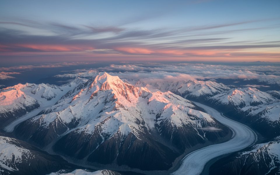
Jellicoe Peak is a serious alpine objective perched above the upper Hooker and La Perouse glaciers. Most parties treat it as a mixed snow/ice/rock ridge climb and, in good conditions, often continue along the Divide Ridge or a steep snow arête toward La Perouse. There’s no marked trailhead and no infrastructure on the mountain—this is big, glaciated terrain.
Getting There (Hooker → Empress approach)
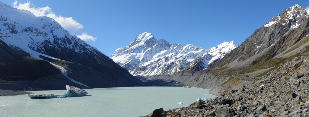
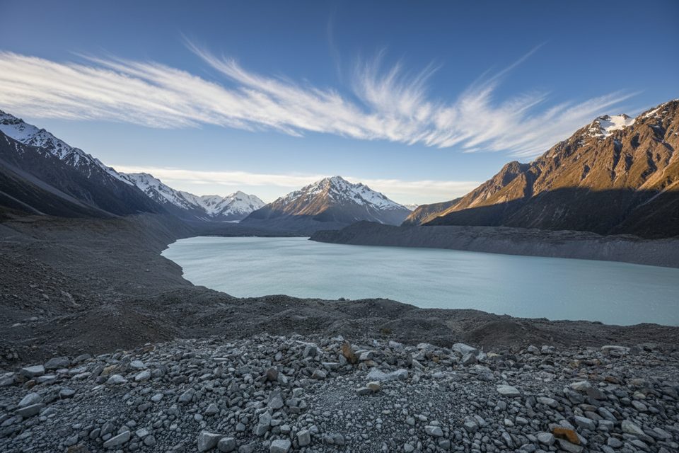
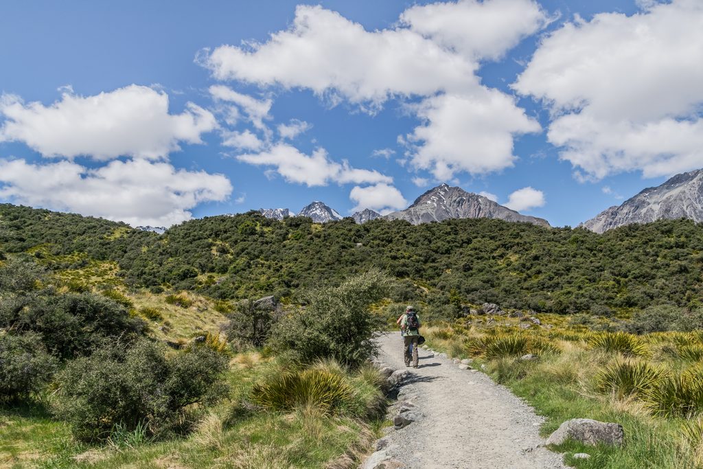
- From the village, follow the Hooker Valley Track to just before the third swing bridge, then drop to the true right of the outlet and skirt the lakeshore beneath the moraine wall—fast, but exposed to rockfall. Expect roughly 5–6 hours to reach usable glacier ice.
- Pudding Rock is the key crux for access. Early season, some parties can go up the icefall. In summer, the standard is the Pudding Rock Cable Route—an easy-to-moderate scramble on fixed wires—with descents via bolted abseils. The last rappel back to the glacier changes with the snow cone and can exceed 60 m; plan conservatively. If the cables are buried in winter/spring, Waterfall Gully can go when well banked; if the icefall is too broken in summer, a three‑pitch Right Rockface alternative exists.
- From atop Pudding Rock, head up the main Hooker Glacier, swing under Harper Saddle, and on to Empress Hut in about 2–4 hours.
What the Climb Feels Like
Expect exposed ridge travel on mixed terrain with significant commitment. Many independent parties make Jellicoe their primary summit; linking to La Perouse is a prized extension in the right window. Fitness for long alpine days and solid glacier skills are essential.
Huts and Facilities
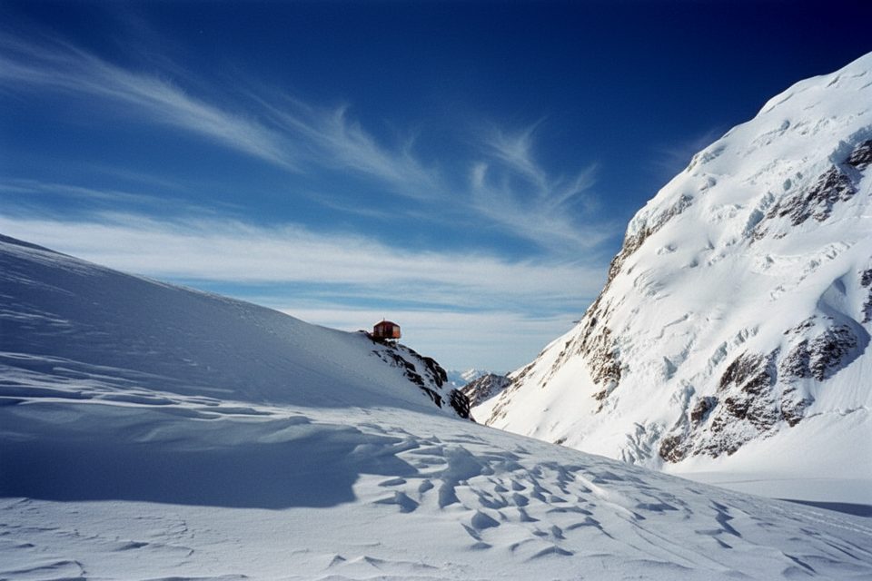
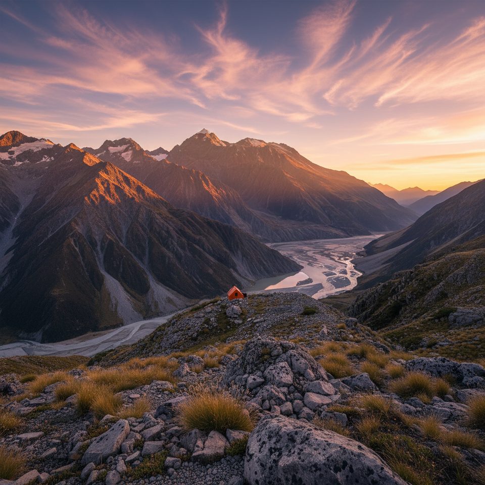
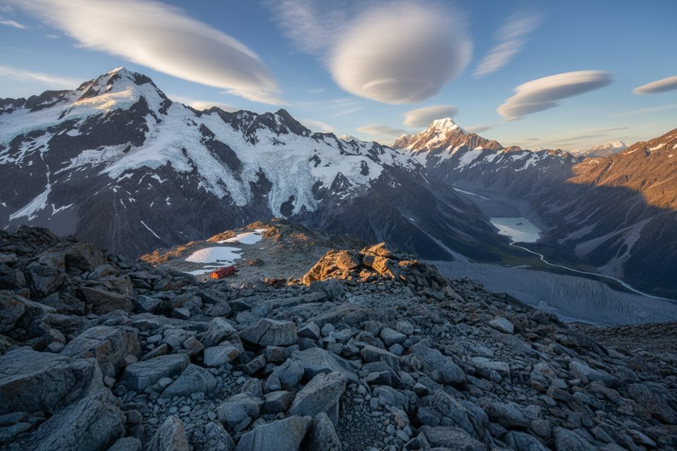
- Empress Hut sits superbly for Jellicoe/La Perouse objectives and has around 10–12 bunks, a radio, and reported cell coverage.
- Hooker Hut (lower in the valley) has 8 bunks and basic facilities. Beyond formed tracks, there are no toilets—plan to carry out waste until a hut.
- White Horse Hill campground/toilets serve the valley start; on the Hooker Track there’s a composting toilet around 3.5 km, and you should carry your own water.
Current Access Notes That Matter
- The second Hooker Valley swing bridge was closed in April 2025 after erosion; only the lower section reopened while a new 189 m bridge is built, with full reopening targeted for around autumn 2026. Factor in extra time and check status before committing.
- Parking at White Horse Hill is busy 10:00–16:00 in peak months, and a paid‑parking pilot is slated to begin in December 2025.
Hazards and Seasonality
The Pudding Rock section is notoriously condition‑dependent. Rockfall around the lake margin, serac/icefall exposure on icefall options, and variable rappel lengths are all part of the game. Early summer is often the most reliable window, but conditions vary year to year—have multiple plans ready.
Best Time to Visit
Aim for an early start during stable early‑summer high‑pressure spells. Go midweek to ease parking pressure, and time your approach to avoid midday congestion in the valley. Always verify bridge status, cable condition, and recent party notes with local sources before you leave.