
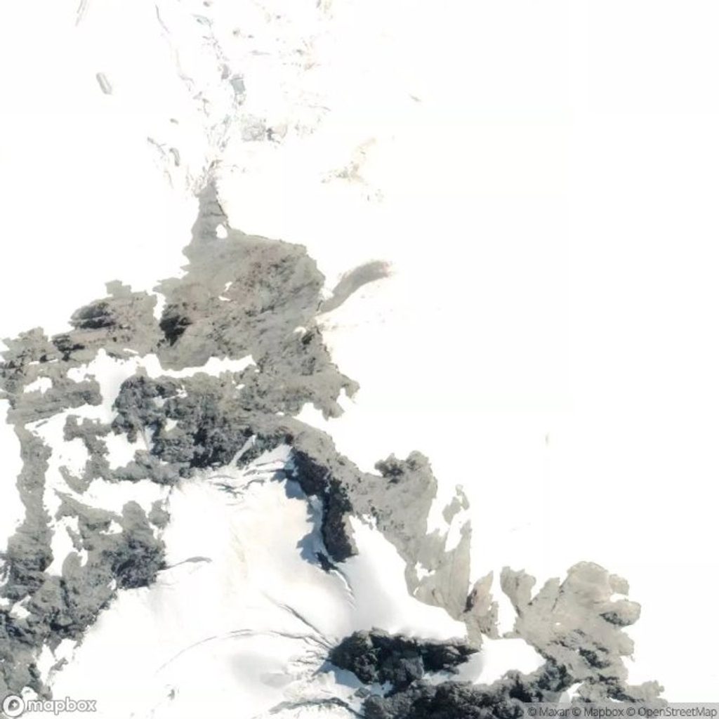
Place · 2.4 mi away
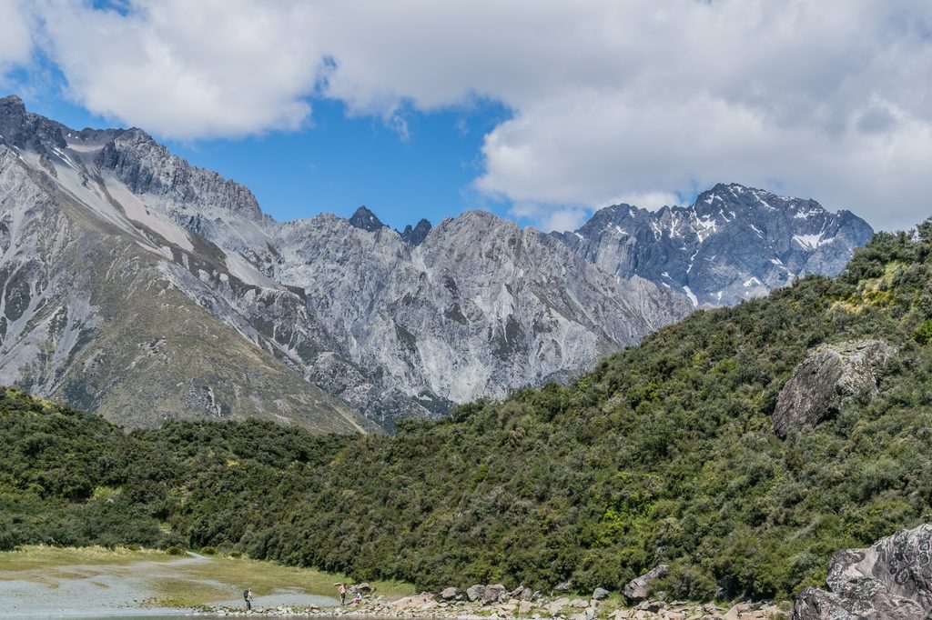
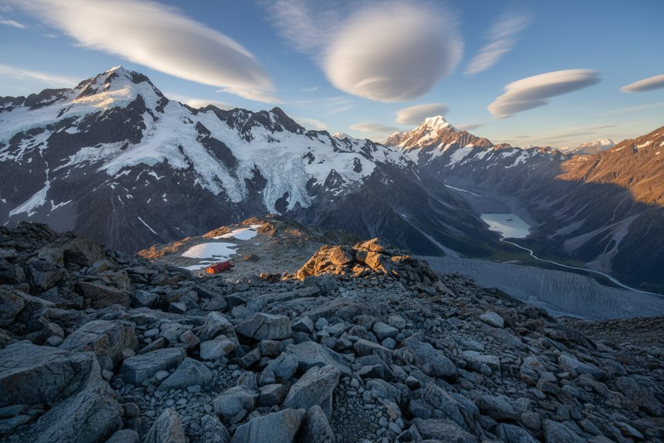
The Liebig Range is the quiet, backcountry side of the park—rugged, glaciated country with few frills and lots of room to roam. It sits within the Aoraki Mackenzie International Dark Sky Reserve, so clear nights can be spectacular.
There is no Department of Conservation (DOC) track to the Liebig side. You’ll be plotting your own line and negotiating unbridged rivers, so arrive with solid route-finding chops and a plan B. DOC recommends carrying map, compass, and GPS, and checking in with the Aoraki/Mount Cook Visitor Centre for current access notes and river conditions.
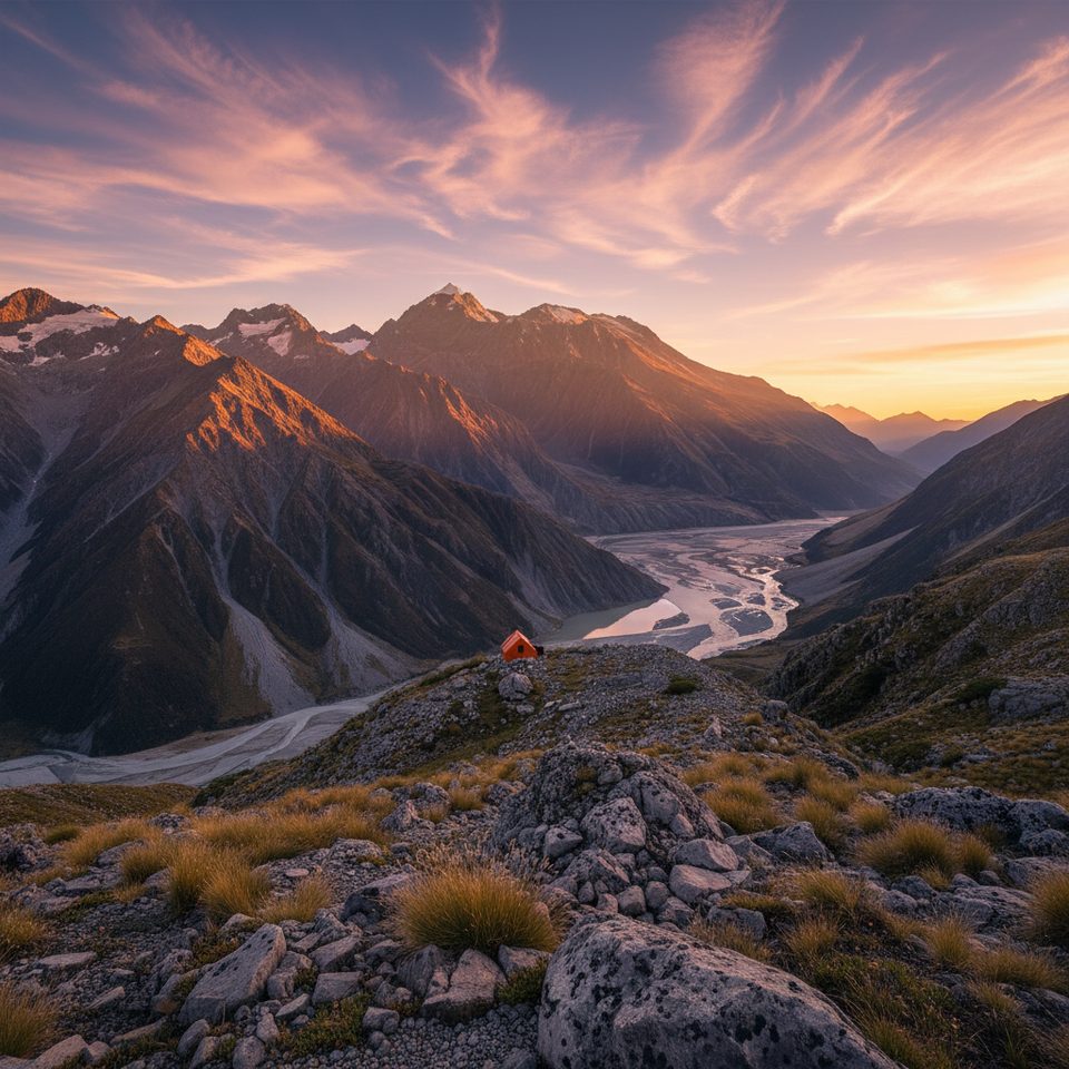
Liebig Hut is a standard six‑bunk hut with mattresses, a nearby water source, and a toilet. Bring your own stove, fuel, and lighting—services are minimal. A daily radio check-in and weather update for alpine huts happens at 4:45 pm, with instructions posted in the hut. Fees are simple: adults NZ$10/night, youth NZ$5, and under‑5s free; pay with Standard Hut Tickets or a Backcountry Hut Pass. The hut dates to 1965 and was relocated and rebuilt in 1999 after an avalanche incident.
NZTM2000 grid for the hut: E1383046, N5165843 (NZTopo50 sheet BX16).
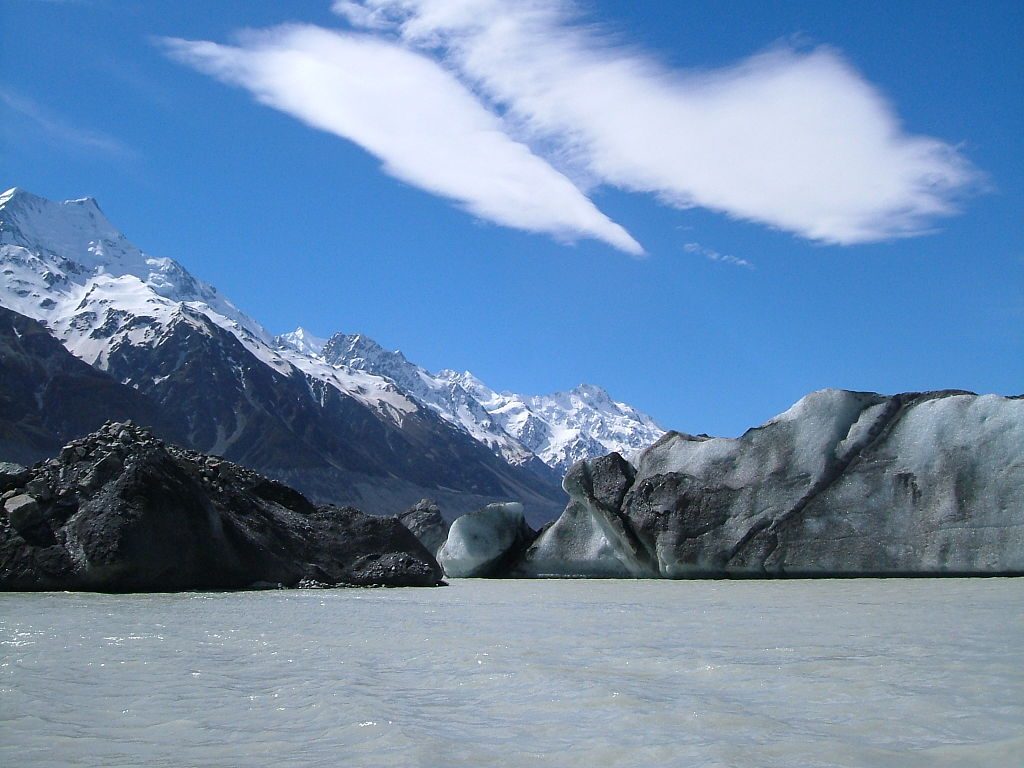
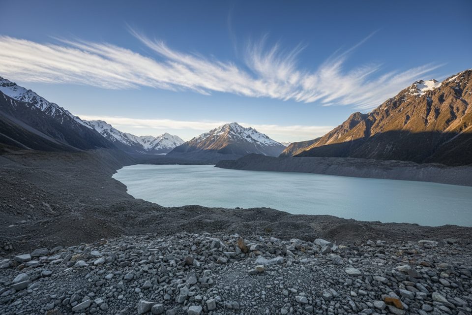
Glaciers shape everything here—about 40% of the park is glaciated, with classic U‑shaped valleys, moraines, and proglacial lakes like Tasman and Hooker elsewhere in the park. Birdlife across the park includes roughly 35 species; keep an eye out for rarities such as the black stilt and the pīwauwau/rock wren in alpine terrain.
Pick stable weather windows and use the 4:45 pm alpine hut radio update to time moves. Nights with clear skies are prime for stargazing. With no official track or car park, crowding isn’t the issue—conditions are.
DOC provides interactive maps and free downloadable data for planning, and Herenga ā Nuku’s maps help confirm public access. For practical navigation on the ground, rely on NZTopo50 BX16 and the hut’s grid reference.
Place · 2.4 mi away
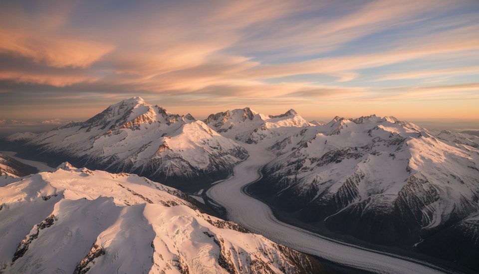
Place · 4.2 mi away
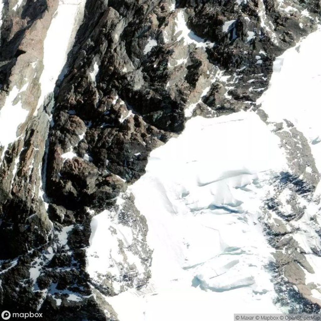
Place · 4.6 mi away
Place · 5.1 mi away
Easy · 8.8 mi away
Easy · 8.8 mi away
Challenging · 12.5 mi away
Challenging · 12.5 mi away

Parkwolf Tour Guide
