
Place · 1.9 mi away
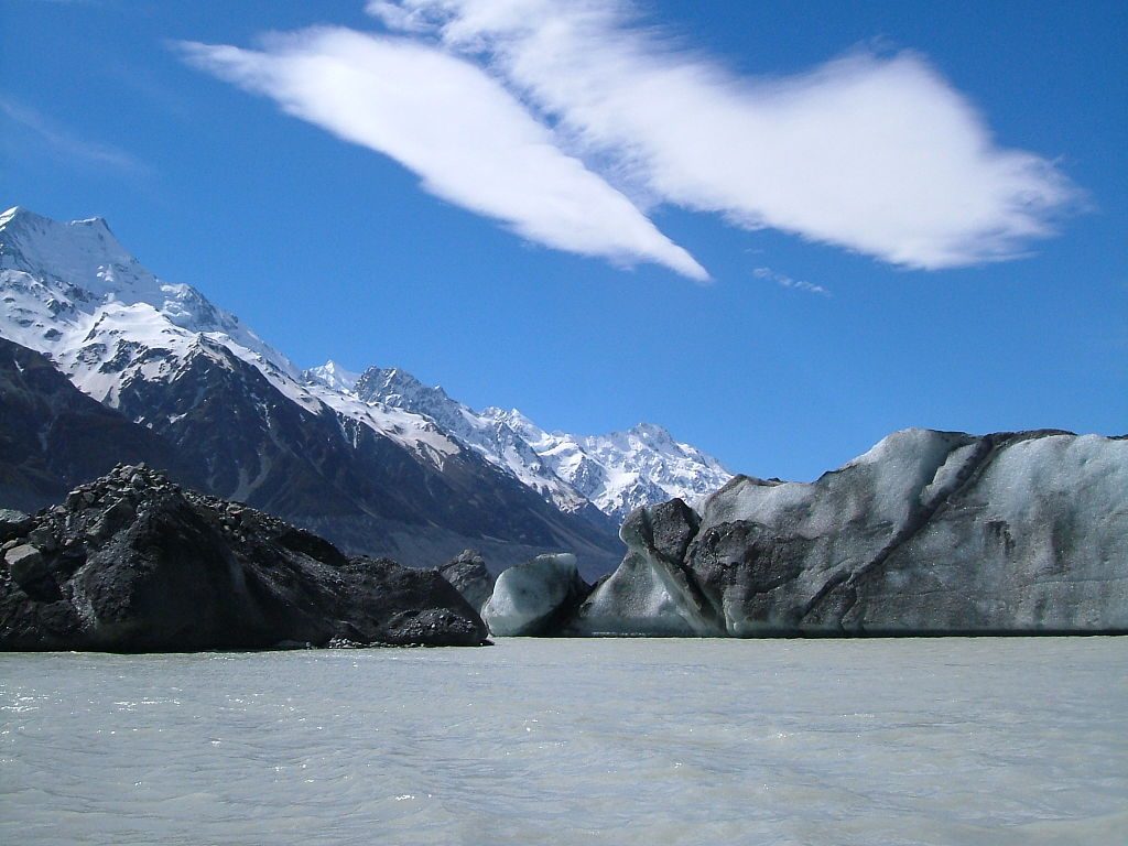
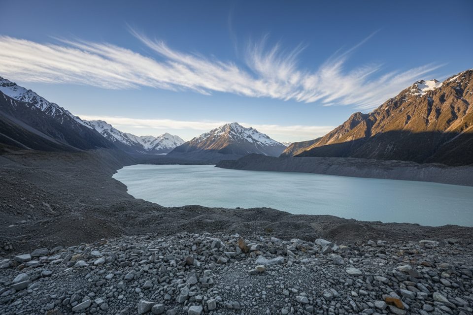
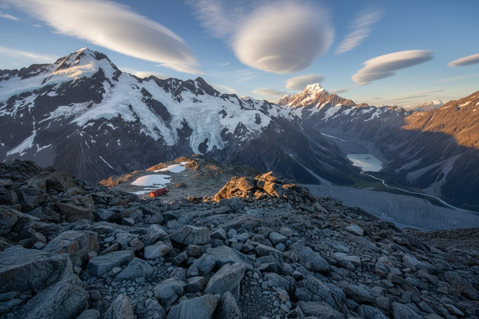
Haupapa / Tasman Glacier is the country’s largest glacier, about 23–23.5 km long and up to ~4 km wide, with ice hundreds of meters thick. Its terminus feeds Tasman Lake, then the Tasman River and Lake Pukaki on the way to the Pacific. The glacier has been retreating rapidly since the 1990s, which created and expanded Tasman Lake; a dramatic calving during the February 22, 2011 Christchurch earthquake even sent waves across the lake.
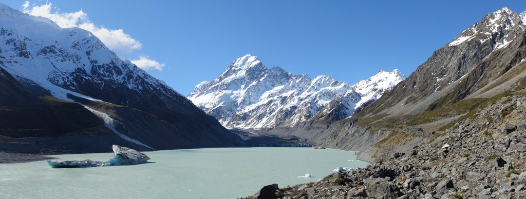
Don’t expect a perfectly blue, crevassed tongue from the roadside: the lower glacier is mantled in rock and debris, which insulates the ice and changes its look. From the valley you’ll see the grey‑armored lower glacier and Tasman Lake dotted with icebergs. For broader valley views, the Ball Hut Route along the western side gives higher perspectives after several kilometers.
At the end of Tasman Valley Road (about 7 km from the SH80 turn‑off) you’ll find the main Blue Lakes/Tasman Glacier car park with toilets and a small shelter. There are no drinking water taps or changing rooms here, and there are no facilities at Blue Lakes or the Tasman Lake jetty. Drones aren’t permitted anywhere in the national park without a permit.
Keep clear of the terminal face and floating ice—calving can generate hazardous waves, and icebergs can roll. If you’re stepping onto glacial terrain, go with qualified guides who provide the gear and manage the risks. Weather shifts quickly; bring layers, wind/rain protection, sun protection, sturdy footwear, and water.
Conditions evolve with the glacier’s retreat and the alpine weather. For heli‑skiing and the deepest seasonal snow on the upper glacier, aim for mid‑winter to early spring (July–September). For walks and boat tours, plan flexibly—expect strong sun, variable winds, and big temperature swings even in summer, and check day‑of conditions with operators.
Place · 1.9 mi away
Place · 2.2 mi away
Place · 3.3 mi away
Place · 3.8 mi away
Easy · 7.4 mi away
Easy · 7.4 mi away
Challenging · 10.4 mi away
Challenging · 10.4 mi away

Parkwolf Tour Guide
