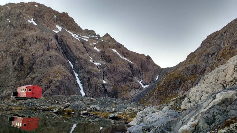
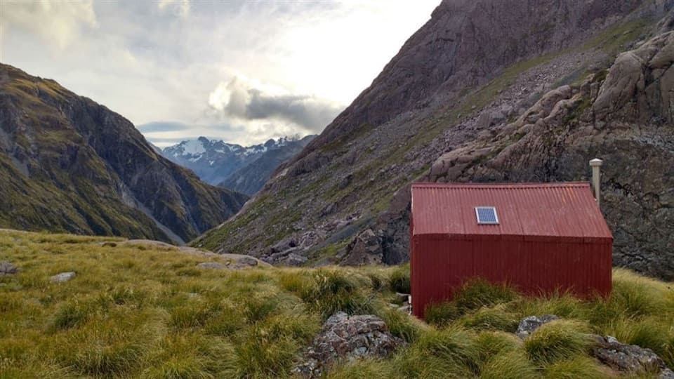
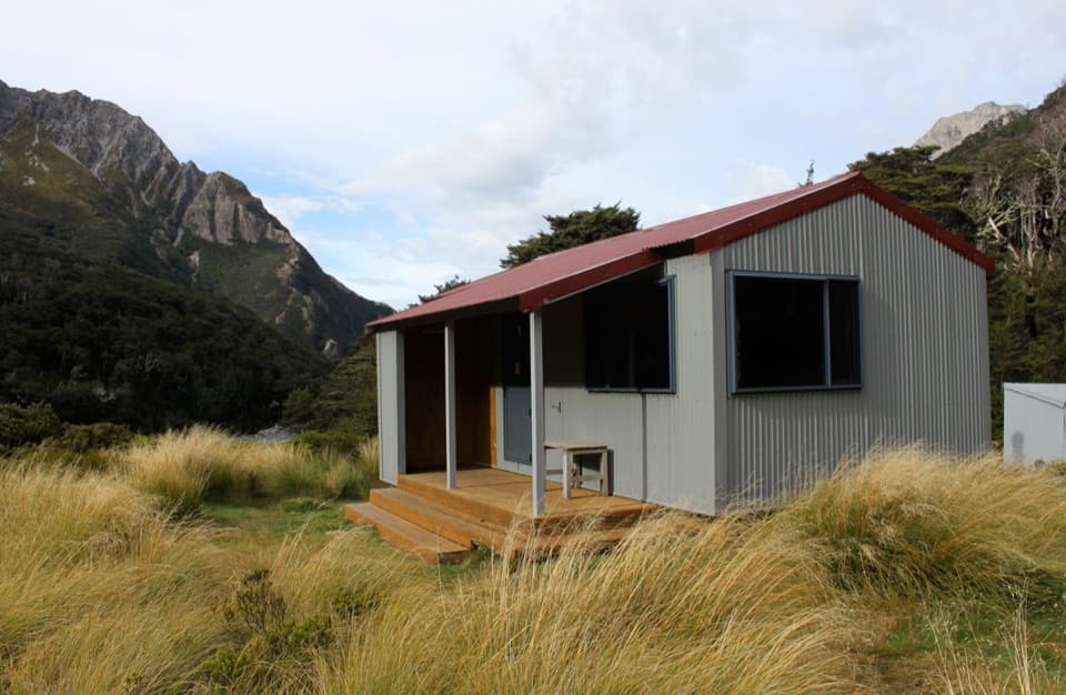
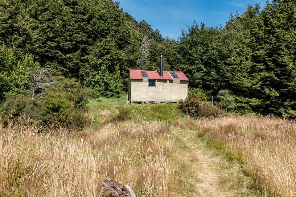
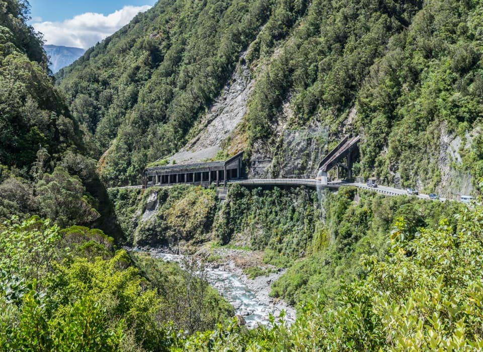
Carrington Hut in Arthur's Pass National Park

Lodging · Arthur's Pass National Park

Carrington Hut

A 36-bunk base for a demanding tramp into remote river country.

Photo: Wikimedia Commons
Type
Lodging
  • Restrooms

Hear the audio tour

O'Malleys Track to Turkey Flat

Overview

About Carrington Hut

Why stop

  • A log burner and mattresses make this a well-equipped overnight hut.
  • The approach crosses glacier-rounded rock knolls and open river flats.

Heads up

  • The 12.3 km expert approach depends on safe, unbridged river crossings.

Map

Where it is

Loading the Arthur's Pass map
Full map
LodgingCarrington Hut-42.95988, 171.44834
Keep this map with you offline in the Parkwolf app

Plan your stop

Before you go

2 active Arthur's Pass alerts

  • CautionFlood damage and active slip on Harper Pass RouteFlood damage and an active slip make the western Harper Pass Route hazardous; expect difficult river crossings and avoid the slip during rain.Official details
  • CautionFlood damage on route to Sudden Valley BivvySignificant flood damage has washed away much of the route to Sudden Valley Bivvy; access is possible only when rivers are low.Official details
Arthur's Pass alerts
A park ranger sits on a dash-mounted phone, talking, as Parkwolf’s Tour Guide plays “Army Cutworm Moths: A Grizzly Bear Buffet” on Grand Loop Road below Dunraven Pass in Yellowstone
Parkwolf Tour GuideThe highest, rockiest slopes around here are a summer buffet for grizzly bears.

Arthur's Pass Tour Guide

Your drive to Carrington Hut, narrated.

Parkwolf is a GPS audio tour guide for Arthur's Pass National Park. As you drive, it chimes in with what’s ahead: hidden gems, upcoming stops, history, geology, and wildlife, right through your car’s speakers.

Recorded for this place

O'Malleys Track to Turkey Flat
0:00 / 0:25
“Up ahead is the start of O'Malleys Track, a walk into the wide Waimakariri valley. Allow about ninety minutes for the four-kilometre return to Turkey Flat, through beech forest to open gravel and scrub.”

Plays as you drive up to Carrington Hut in the Parkwolf Arthur's Pass Tour Guide.

More stories near here in the app

  • Arthur's Pass Café and Store
  • Avalanche Peak from the Village
  • Arthur's Pass Visitor Centre
  • Arthur's Pass Chapel and Avalanche Creek
  • 42 audio storiesacross Arthur's Pass’s roads, triggered by GPS as you drive
  • Wildlife heatmapsfor Kea, New Zealand Falcon, Blue Duck, and 13 more
  • Works offlinemaps, 49 trails, 59 places, and audio download before you lose signal
  • CarPlay readysimple controls built for the drive
★★★★★
“Fantastic app with many points of information… It’s great to just turn on while you’re driving and it gives you an audio tour of the national Park. We love it!!!!”
JMJamesApp Store review
Download Parkwolf on the App StoreGet Parkwolf on Google Play

4.7 from 8,600+ ratings

Guide

More about Carrington Hut

A serious overnight destinationCarrington Hut is a serviced 36-bunk backcountry hut at the meeting of the White and…

Carrington Hut is a serviced 36-bunk backcountry hut at the meeting of the White and Waimakariri rivers, below Arthur’s Pass National Park’s high peaks. It is a base for exploring the upper Waimakariri catchment, not a quick stop from the highway. The usual marked approach is 12.3 km one way and DOC grades it Expert, at 4–6 hours. Book a bunk before setting out.

The river crossings set the termsThe route starts on SH73 near Klondyke Corner, about 10 km east of Arthur’s Pass village.

The route starts on SH73 near Klondyke Corner, about 10 km east of Arthur’s Pass village. It follows O’Malley’s Track past Anti Crow Hut, then crosses open river flats and beech forest before reaching Carrington. Expect several unbridged channels and changing river conditions; river-crossing skill is essential. Avoid the route during or after heavy rain, check DOC’s latest access advice, and be ready to turn back. Carry spare food in case high water delays your return. Dogs are not allowed. Avalanche risk affects day trips above the hut, usually from May through November, though snow can bring danger outside that period.

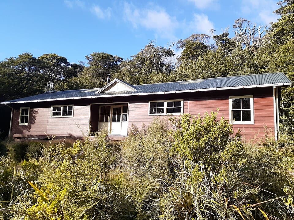
What the hut providesThere are mattresses for 36, a log burner for heat, and a non-flush toilet.

There are mattresses for 36, a log burner for heat, and a non-flush toilet. Tap water is untreated, so boil it before drinking. Bring your own food, cooker and utensils. A radio links the hut with Arthur’s Pass Visitor Centre during office hours.

Three huts, one nameThe present building was put up in 1975, the third Carrington Hut in this vicinity.

The present building was put up in 1975, the third Carrington Hut in this vicinity. The first, opened in 1928, was built by the Canterbury Mountaineering Club and named for its first captain, Gerard Carrington, who drowned while rafting through the Waimakariri gorge. A second hut replaced it in 1941.

Rock rounded by iceThe approach crosses hard, rounded rock knolls called roche moutonnées.

The approach crosses hard, rounded rock knolls called roche moutonnées. Glaciers sculpted them as ice moved across this valley thousands of years ago; they give the river-flat walk a rough, rolling texture between the forested sections.

At the White–Waimakariri meetingThe hut sits just before the White River joins the Waimakariri, among braided channels and…

The hut sits just before the White River joins the Waimakariri, among braided channels and beneath the park’s high peaks. Look for the serrated crest of Carrington Peak. For a photo, include the hut with the mountain skyline or use the open river flats to show how remote the building is.

Wildlife

Wildlife in Arthur's Pass

All Arthur's Pass wildlife maps

Sighting maps show where each species has been reported across Arthur's Pass. Wildlife moves, so no sighting is guaranteed.

Parkwolf’s Arthur's Pass ranking

Top sights in Arthur's Pass

All 59 places
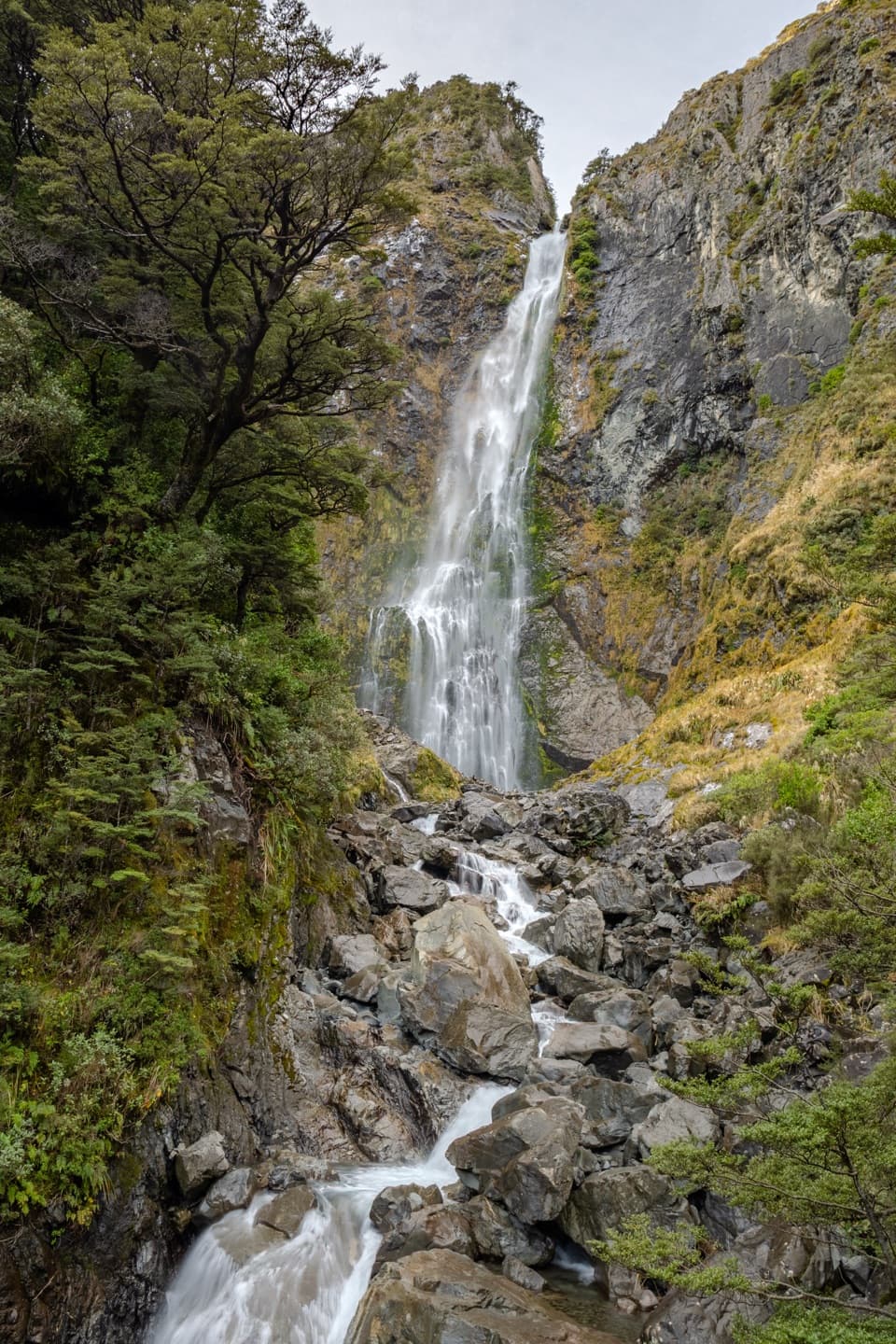
  1. 1Devils Punchbowl FallsSight
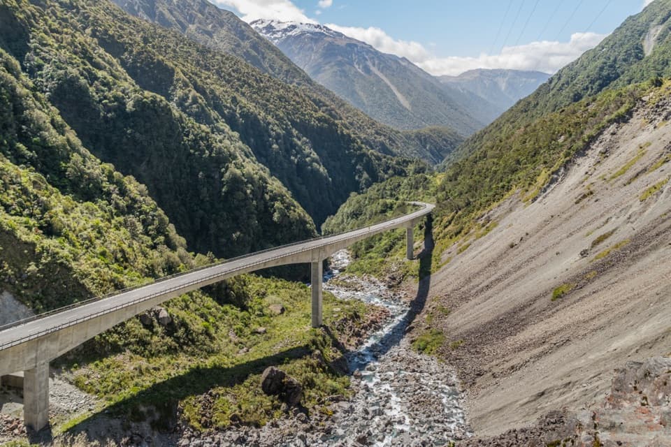
  2. 2Ōtira Viaduct LookoutSight
  3. 3Avalanche PeakSight
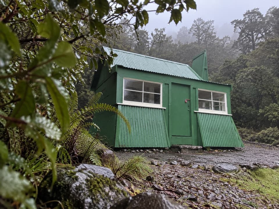
  4. 4Jacks HutSight
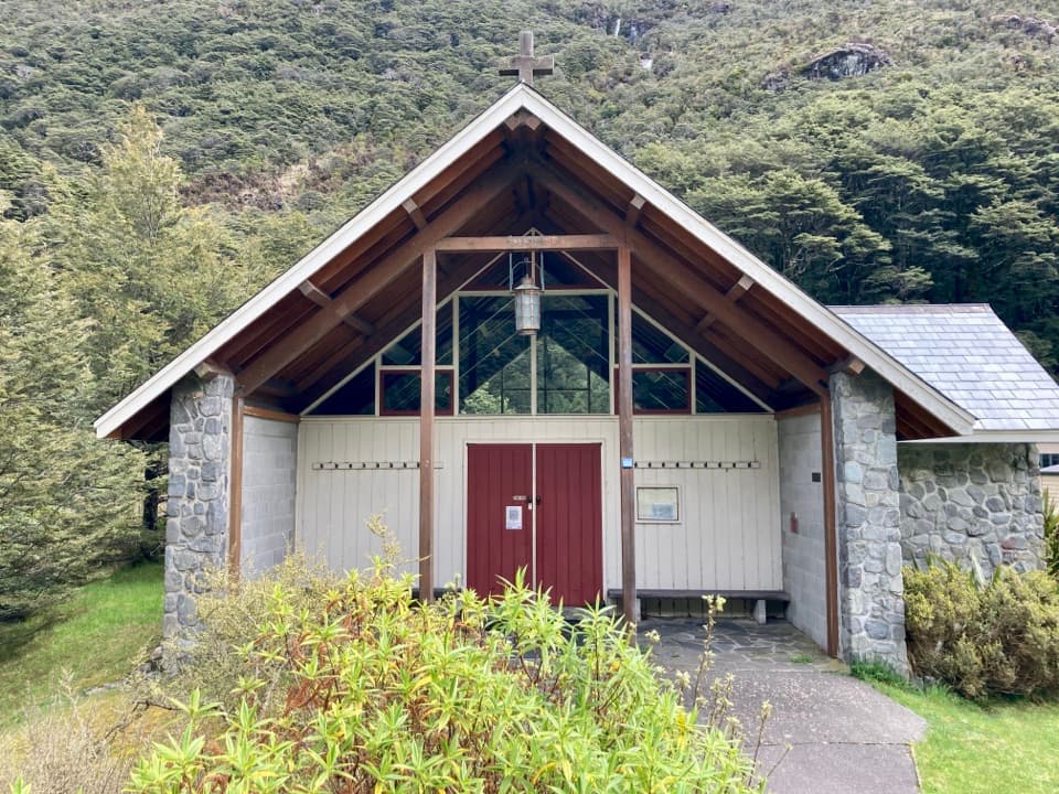
  5. 5Arthur’s Pass ChapelSight
  6. 6Ōtira Gorge Rock Shelter LookoutSight

Take Parkwolf to Arthur's Pass.

The audio tour guide for the drive, plus offline maps, trails, and wildlife heatmaps for when the signal drops.

4.7 from 8,600+ ratings

Download Parkwolf on the App StoreGet Parkwolf on Google Play