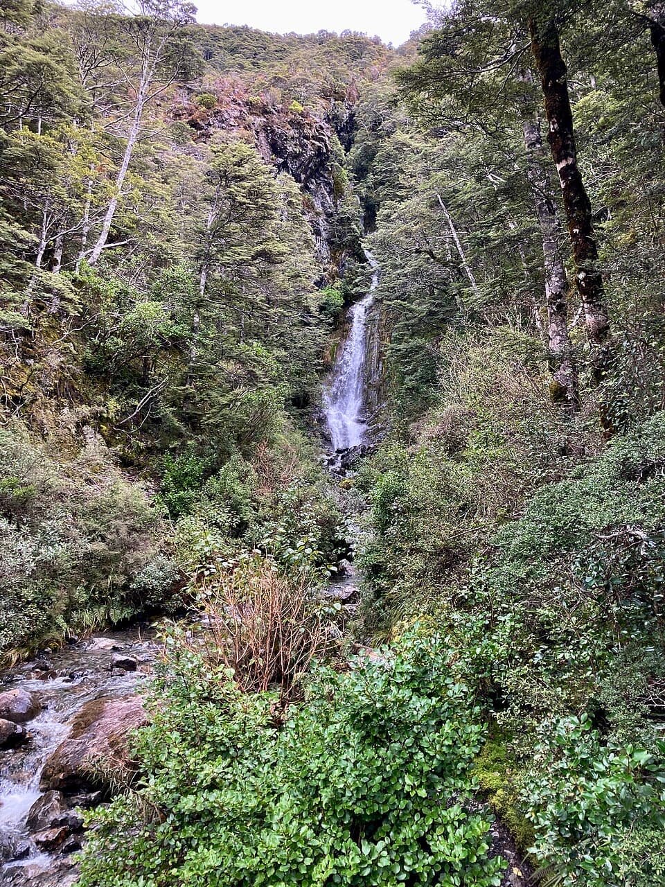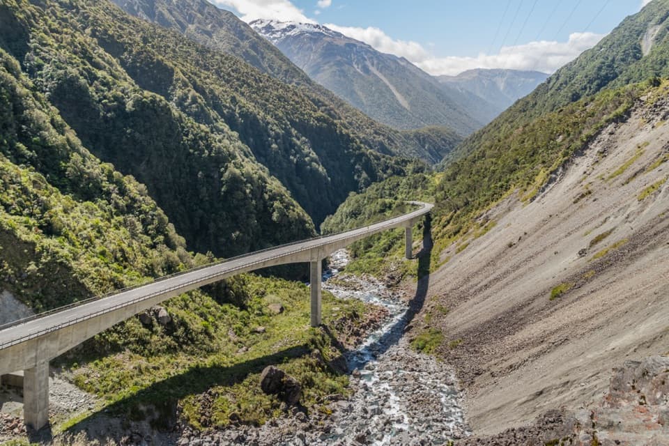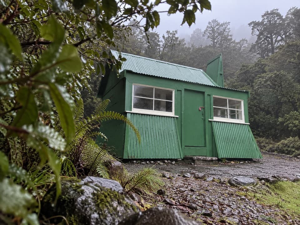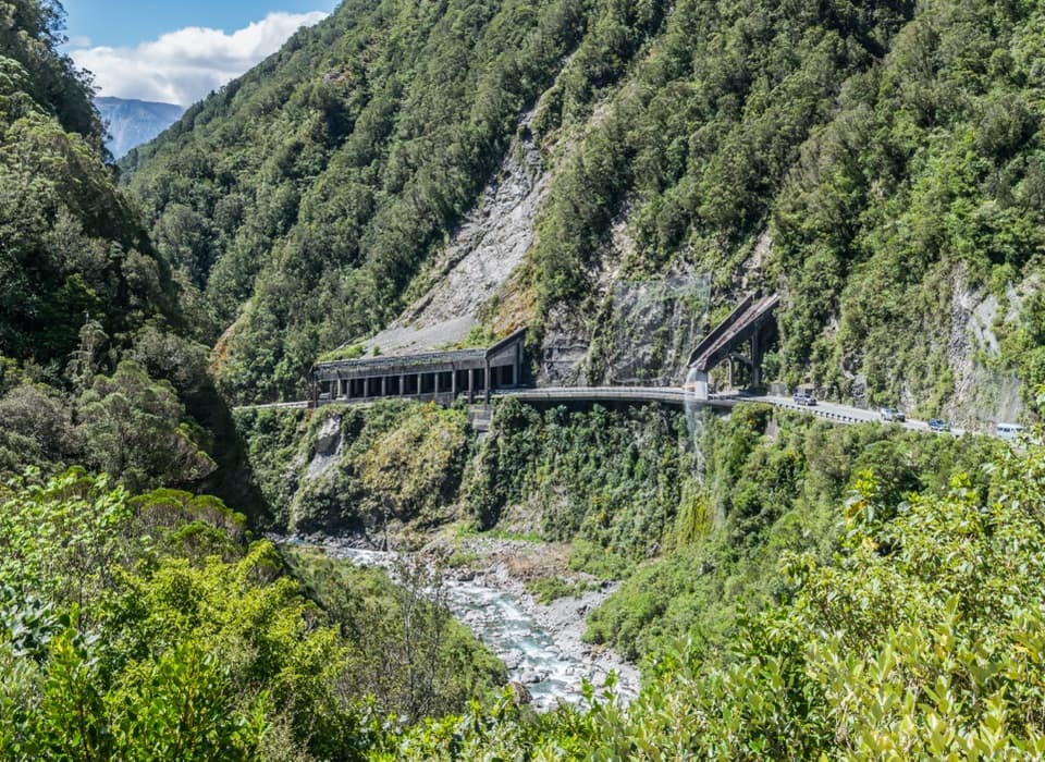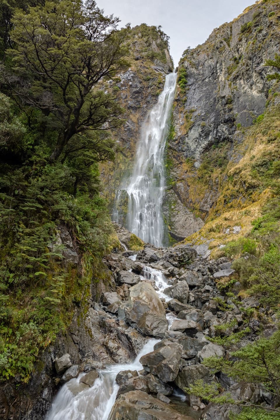
Devils Punchbowl Falls in Arthur's Pass National Park

#1 of 17 sights in Arthur's Pass

Sight · Arthur's Pass National Park

Devils Punchbowl Falls

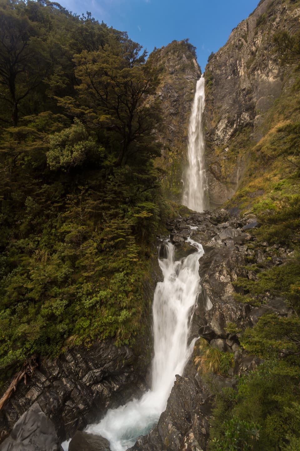
A 131 m waterfall is close after a long stair climb.

Photo: Wikimedia Commons
Type
Sight
Nearest trail
0.4 km
Audio stories
9 nearby
  • Trailhead
  • Parking
  • Picnic tables
  • Scenic viewpoint

Hear the audio tour

Devils Punchbowl Falls

Overview

About Devils Punchbowl Falls

Why stop

  • The platform brings the full-height waterfall close enough to feel its spray.

Heads up

  • The short route still means a steep stair climb and an unbridged creek crossing.
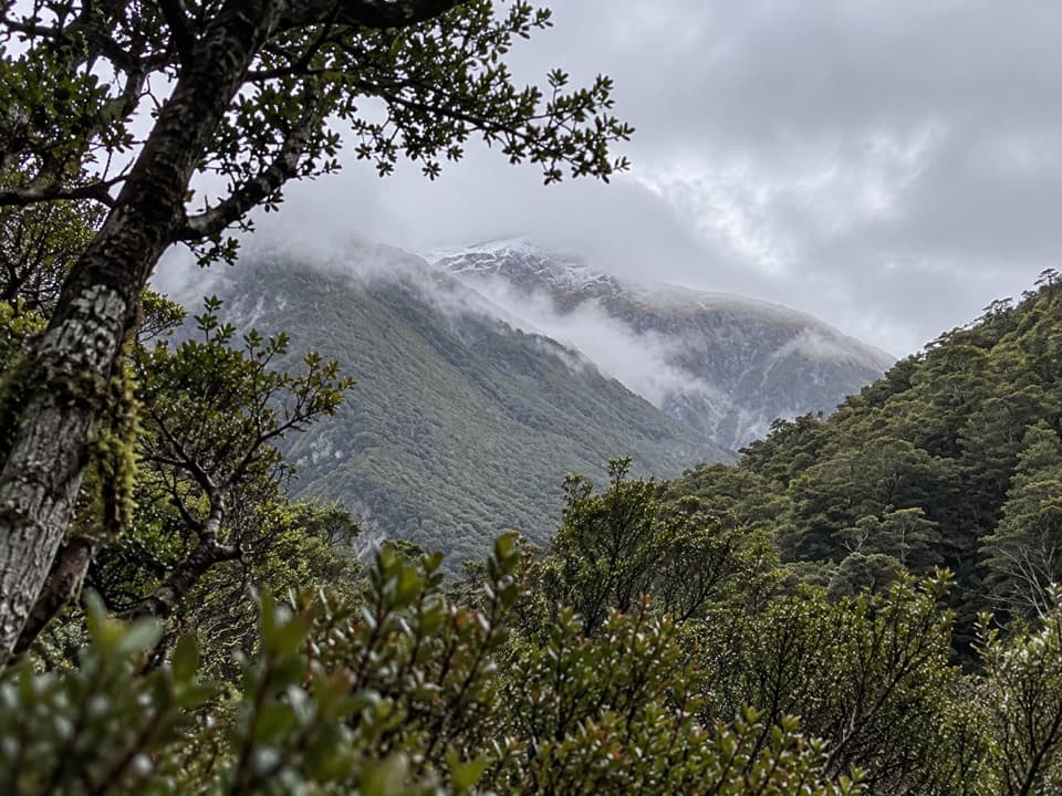
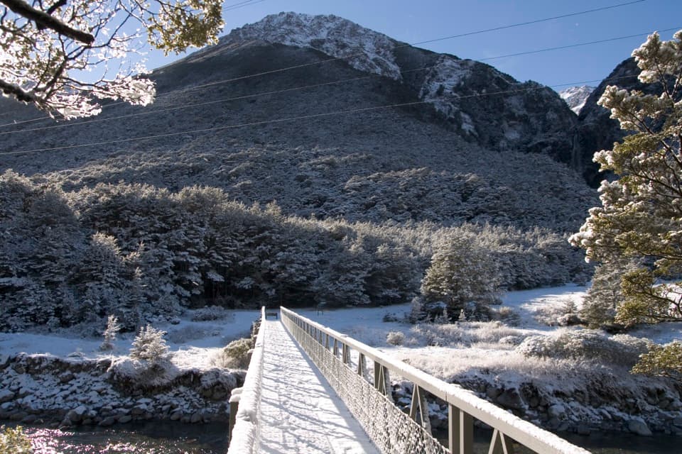
Devils Punchbowl Falls, also Te Tautea o Hinekakai, is a 131 m waterfall dropping from a high hanging valley in Arthur’s Pass National Park. A steep 2 km return track climbs through beech forest to a platform near its base. There are more than 400 steps; allow about an hour, or longer if the stairs slow your pace. The second bridge over Devils Punchbowl Creek gives a good, more distant view if you do not want the full climb.
Parkwolf’s verdictIs the stair climb for you?

Map

Where it is

Loading the Arthur's Pass map
Full map
SightDevils Punchbowl Falls-42.93293, 171.56659
Keep this map with you offline in the Parkwolf app

Plan your stop

Before you go

2 active Arthur's Pass alerts

  • CautionFlood damage and rockfall risk on Harper Pass RouteFlood damage and an active slip affect the Harper Pass Route below Kiwi Hut and near Locke Stream Hut.Official details
  • CautionFlood damage on route to Sudden Valley BivvySignificant flood damage makes the route to Sudden Valley Bivvy passable only when rivers are low.Official details

Arthur's Pass alerts
A park ranger sits on a dash-mounted phone, talking, as Parkwolf’s Tour Guide plays “Army Cutworm Moths: A Grizzly Bear Buffet” on Grand Loop Road below Dunraven Pass in Yellowstone
Parkwolf Tour GuideThe highest, rockiest slopes around here are a summer buffet for grizzly bears.

Arthur's Pass Tour Guide

Your drive to Devils Punchbowl Falls, narrated.

Parkwolf is a GPS audio tour guide for Arthur's Pass National Park. As you drive, it chimes in with what’s ahead: hidden gems, upcoming stops, history, geology, and wildlife, right through your car’s speakers.

Recorded for this place

Devils Punchbowl Falls
0:00 / 0:25
“You're approaching the start of the Devils Punchbowl Falls walk, where a hundred-and-thirty-one-metre waterfall drops from a glacial hanging valley.”

Plays as you drive up to Devils Punchbowl Falls in the Parkwolf Arthur's Pass Tour Guide.

More stories near here in the app

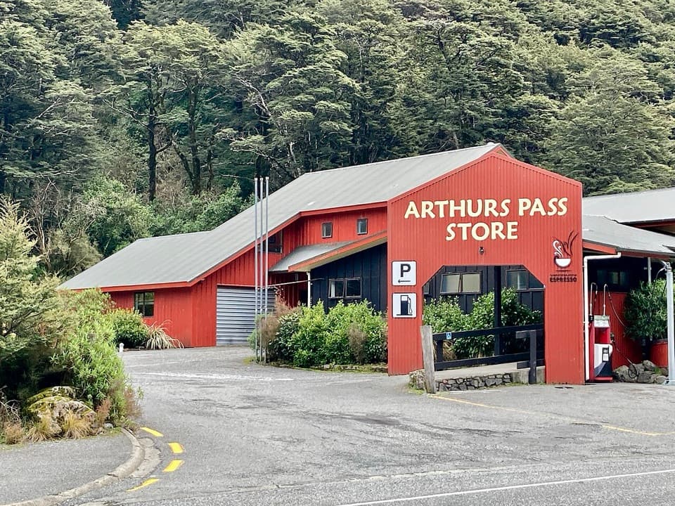
  • Arthur's Pass Café and Store
  • Avalanche Creek Shelter Campsite
  • Avalanche Peak from the Village
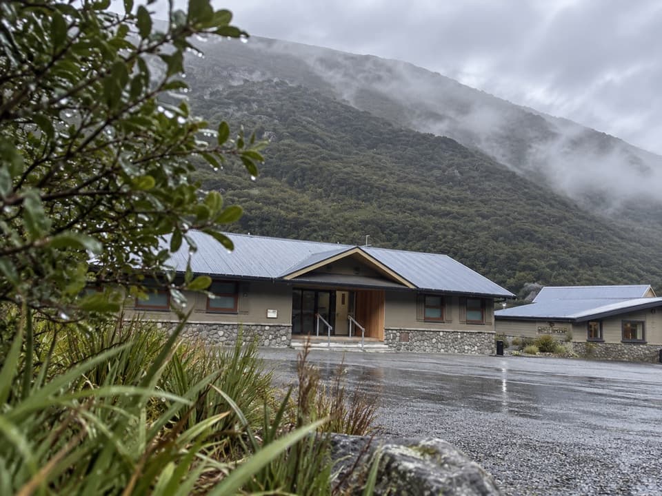
  • Arthur's Pass Visitor Centre
  • 42 audio storiesacross Arthur's Pass’s roads, triggered by GPS as you drive
  • Wildlife heatmapsfor Kea, New Zealand Falcon, Blue Duck, and 13 more
  • Works offlinemaps, 49 trails, 59 places, and audio download before you lose signal
  • CarPlay readysimple controls built for the drive
★★★★★
“Fantastic app with many points of information… It’s great to just turn on while you’re driving and it gives you an audio tour of the national Park. We love it!!!!”
JMJamesApp Store review
Download Parkwolf on the App StoreGet Parkwolf on Google Play

4.7 from 8,600+ ratings

Guide

More about Devils Punchbowl Falls

Start with the crossingThe signed car park is at the north end of Arthur’s Pass Village, just off SH73, and parking is…

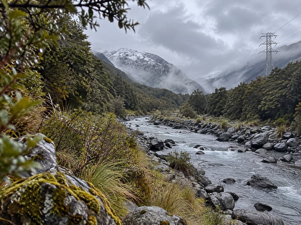
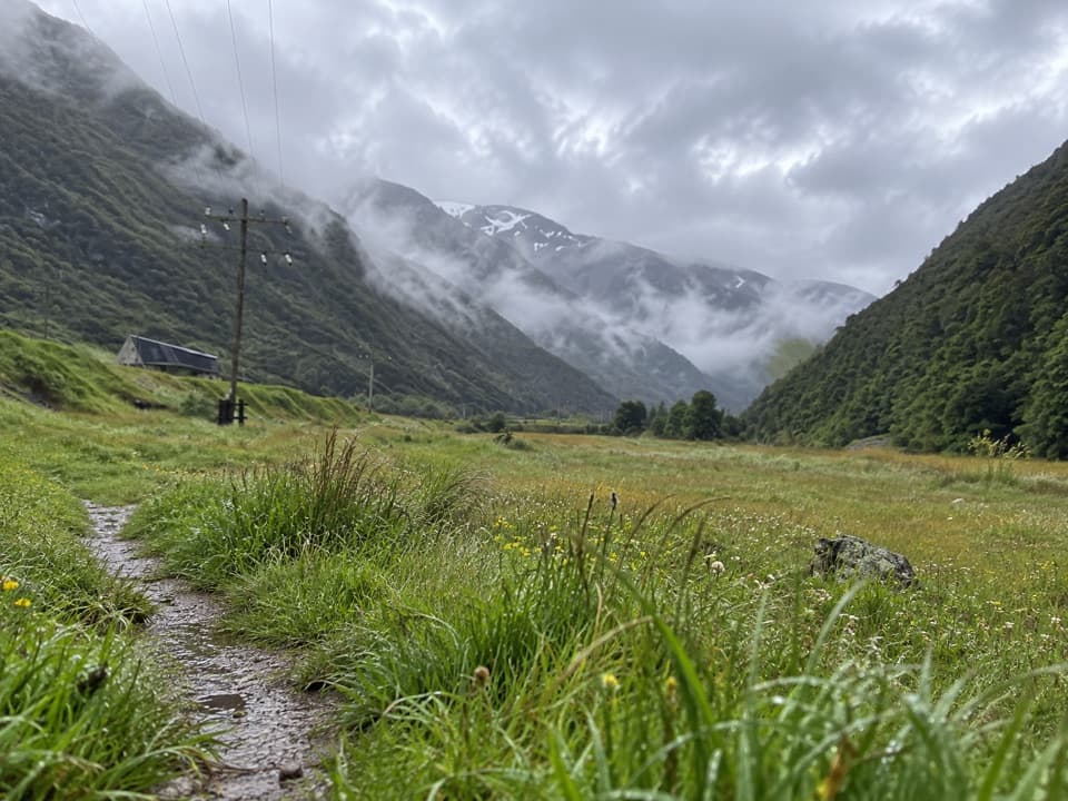
The signed car park is at the north end of Arthur’s Pass Village, just off SH73, and parking is free. The route crosses the Bealey River bridge, then Wardens Creek, which has no bridge and can flood after heavy rain. Do not cross if the water is fast or muddy. There are no marked mobility spaces, and the stair climb is not a gentle walk. Check track and highway conditions before setting out; SH73 can close in snow.

Bring what you needThere is no drinking water at the track, so bring your own.

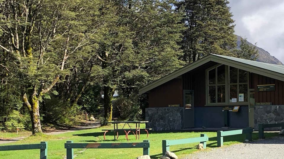
There is no drinking water at the track, so bring your own. A picnic table and seats sit in a clearing after the Bealey River bridge. The nearest toilets, including an accessible toilet, are at the park’s Visitor Centre, a five-minute drive away. Food and petrol are limited in the village, and dogs are not allowed in the national park.

Let the spray set the pictureThe falls flow year-round, with the strongest show in spring snowmelt.

The falls flow year-round, with the strongest show in spring snowmelt. At full force, spray reaches the viewing platform and the sound fills the canyon. From the platform, keep some of the dark cliff and boulder-filled creek in the frame to show the height; the second bridge is a useful viewpoint if you stop short of the climb.

Born from a hanging valleyThe waterfall spills from a high glacial hanging valley, left above the main valley after ice…

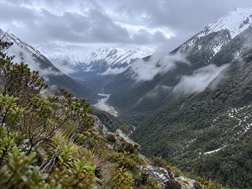
The waterfall spills from a high glacial hanging valley, left above the main valley after ice carved the Arthur’s Pass landscape. The surrounding U-shaped valleys are another sign of that glacial shaping.

A story carried in the waterThe Māori name Te Tautea o Hinekakai honors Hinekakai, a renowned weaver.

The Māori name Te Tautea o Hinekakai honors Hinekakai, a renowned weaver. Ngāi Tahu likens the twisting white water to dressed flax fibres, or muka, used to weave fine garments and mats. That image gives the waterfall’s falling threads a story as well as a shape.

The falls once had another nameThe waterfall became a tourist stop after the coach road linking Christchurch with the West…

The waterfall became a tourist stop after the coach road linking Christchurch with the West Coast through Arthur’s Pass opened in 1866. Until the early 1900s, “Devils Punchbowl” referred to the pool below; the waterfall itself was known as Zealandia Falls.

Listen in the beech forestThe climb passes through native mountain beech forest.

The climb passes through native mountain beech forest. Look and listen for rifleman, bellbird, fantail, tomtit and grey warbler; great spotted kiwi, or roroa, are more likely to be heard calling at dusk than seen.

Wildlife

Wildlife in Arthur's Pass

All Arthur's Pass wildlife maps

Sighting maps show where each species has been reported across Arthur's Pass. Wildlife moves, so no sighting is guaranteed.

Keep exploring

Near Devils Punchbowl Falls

See it all on the map

Trails nearby

More stops nearby

Parkwolf’s Arthur's Pass ranking

Top sights in Arthur's Pass

All 59 places
  1. 2Ōtira Viaduct LookoutSight
  2. 3Avalanche PeakSight
  3. 4Jacks HutSight
  4. 5Arthur’s Pass ChapelSight
  5. 6Ōtira Gorge Rock Shelter LookoutSight
  6. 7Bridal Veil Falls LookoutSight

Take Parkwolf to Arthur's Pass.

The audio tour guide for the drive, plus offline maps, trails, and wildlife heatmaps for when the signal drops.

4.7 from 8,600+ ratings

Download Parkwolf on the App StoreGet Parkwolf on Google Play