Avalanche Peak

Steep alpine climb with sweeping Southern Alps views
Avalanche Peak, Arthur's Pass National Park
InsideArthur's Pass National Park

Overview

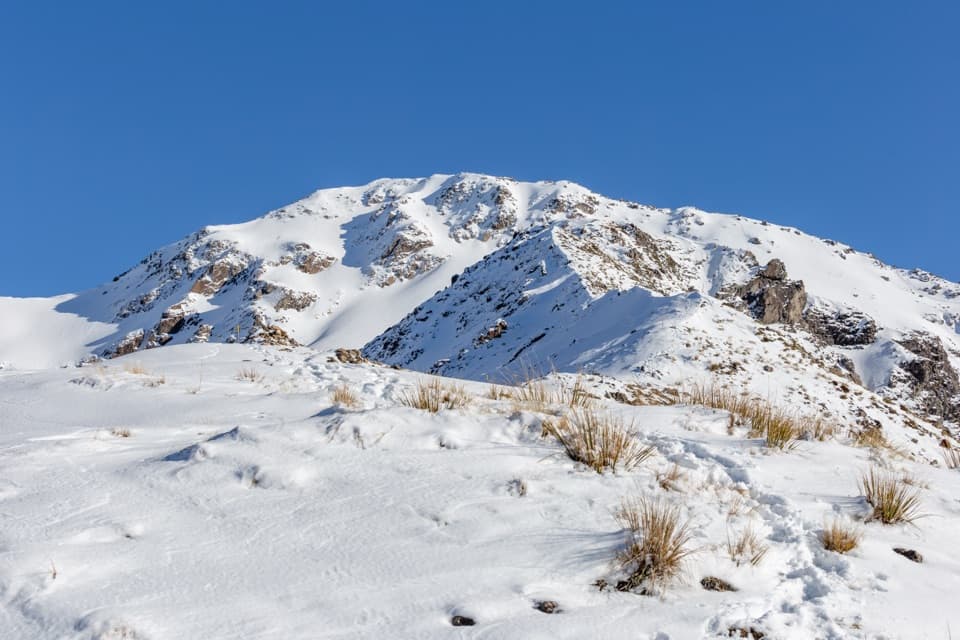
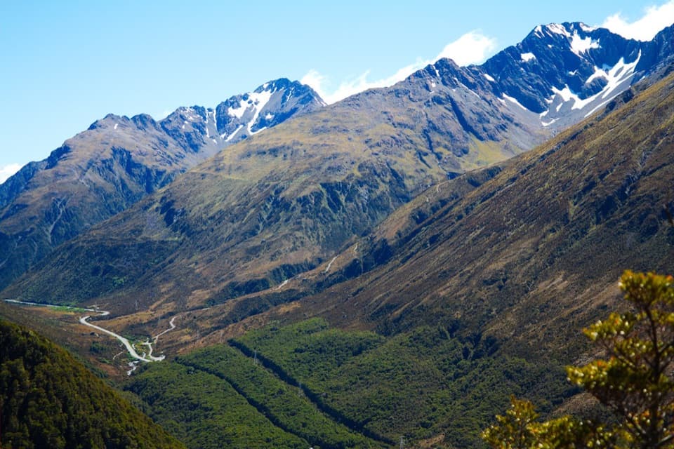
Avalanche Peak is the signature big day out from Arthur’s Pass village: a brutally steep alpine climb that pays off with sweeping 360‑degree views when the weather behaves. Expect roughly 1,100 m of vertical gain squeezed into the early kilometres and a full outing of about 10.5 km that typically takes 5.5–8 hours.

The Route(s)

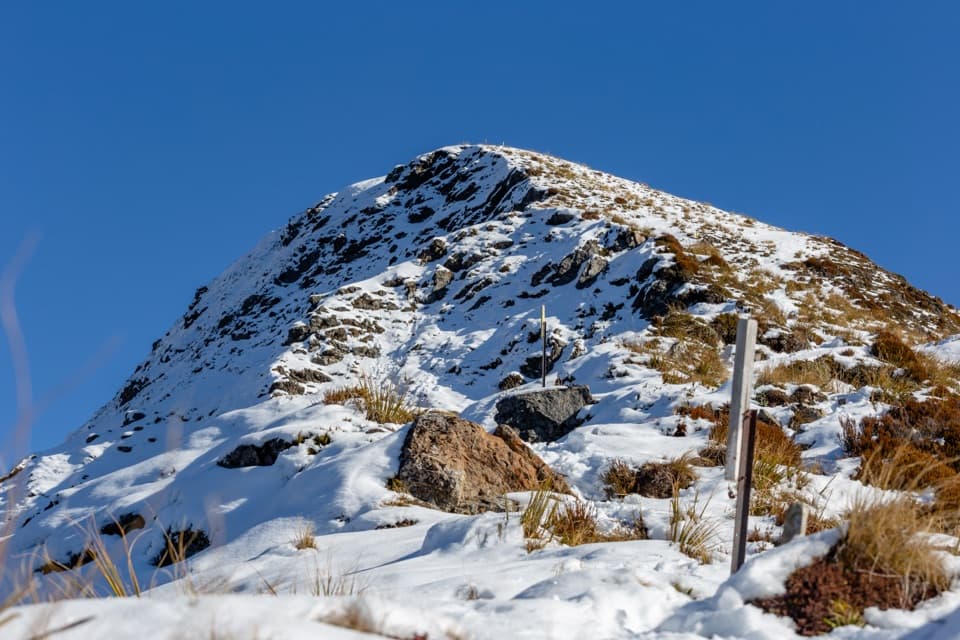
Two tracks make a natural loop. Most hikers climb the steeper Avalanche Peak Track from behind the Visitor Centre and descend the less‑steep Scotts Track, which starts about 700 m west of the Visitor Centre (near the Punchbowl car park). In the forest you’ll follow orange markers; above the bushline the routes are marked with poles—yellow for Avalanche Peak and orange for Scotts.

Terrain & Difficulty

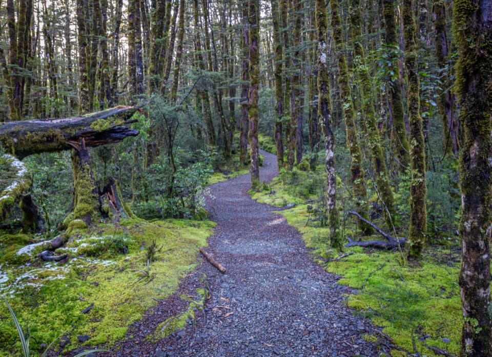
This is an expert‑level alpine hike. You’ll grind through steep, rooty beech forest, then tackle open tussock and a bouldery ridge with big steps and sections where three points of contact feel prudent. There are drop‑offs and long exposed stretches—descending tired legs on the blocks of Scotts can be slow.

Weather, Season, and Safety

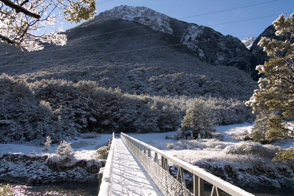
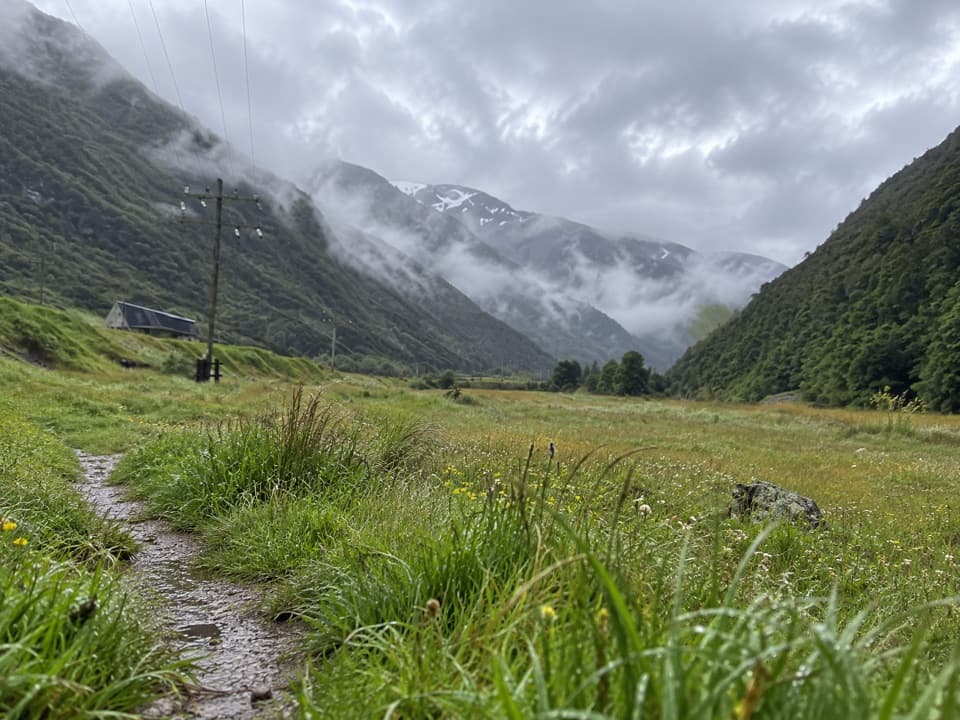
Weather in the Southern Alps flips quickly. Above the trees you’re fully exposed to wind, rain, and even out‑of‑season snow. Best window is summer into early autumn (roughly December–April). In winter and spring the route crosses avalanche terrain; only attempt in snow if you have the skills, gear, and information to assess conditions. Poor visibility or strong winds are solid reasons to turn back.

Logistics & Facilities

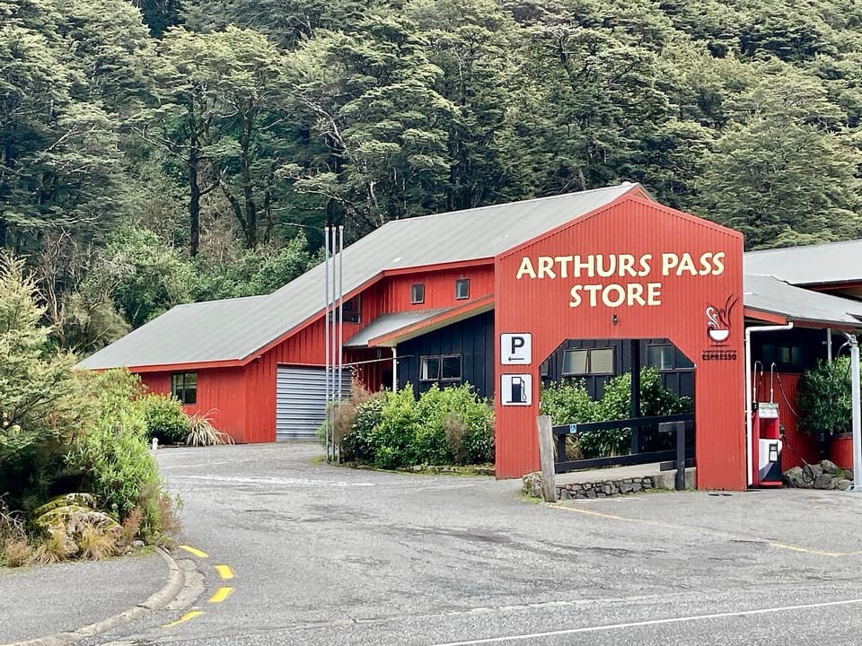
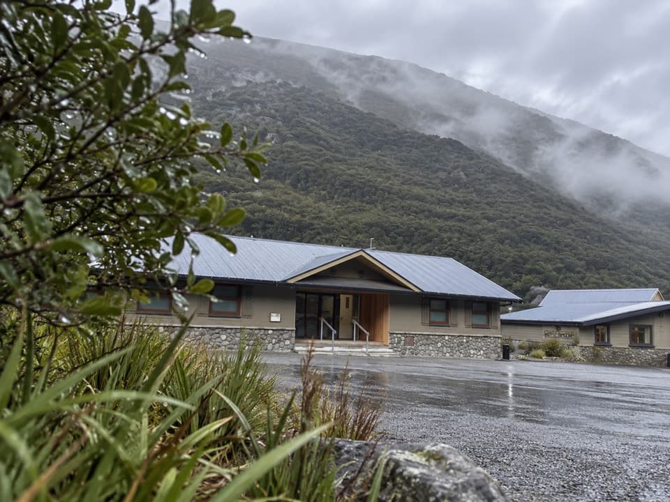
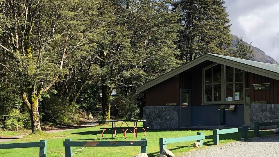
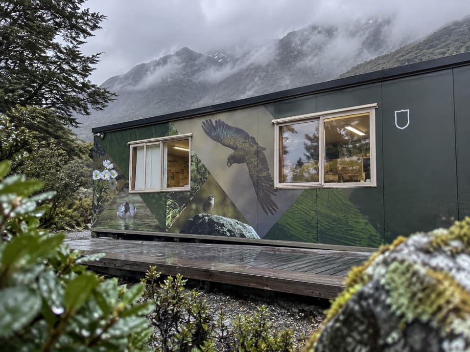
There are large car parks at both trailheads within the village. Toilets are available at the railway station (commonly used, open late) and by the Visitor Centre; Avalanche Creek DOC campsite by the trailhead also has basic facilities. The Visitor Centre can brief you on current conditions and even hires personal locator beacons.

What to Carry

Think alpine: sturdy boots, warm layers, waterproof shell, hat/gloves, sun protection, navigation and a headlamp. Plan on 2–3 litres of water per person plus plenty of high‑energy food. Hiking poles help enormously on the steep descent.

Wildlife

Keep an eye out for kea near the summit. They’re clever, bold alpine parrots—don’t feed them and guard your snacks.

Getting There

Arthur’s Pass village sits on State Highway 73, about two hours by road from Christchurch and also served by the scenic TranzAlpine train. Staying in or near the village makes an early start easy.

Best Time to Visit

Aim for a clear, calm day in summer to early autumn. Start early to beat heat and afternoon cloud build‑up, and to give yourself a comfortable buffer for the 5.5–8 hour day. If the forecast is marginal, save this one for better weather—views are the reward, and good conditions are the safety margin.

Pros

  • Panoramic Southern Alps views on clear days
  • Two-route loop: steep ascent, safer descent via Scotts
  • Well-marked above the bushline with color‑coded poles

Cons

  • Extremely steep with exposure and hands‑on scrambling
  • Alpine weather changes fast; avalanche risk in winter/spring
  • Navigation gets tricky in cloud or poor visibility

Tips

  • Climb Avalanche Peak Track and descend via Scotts for safer footing.
  • Start early on a solid forecast; plan for a 5.5–8 hour day.
  • Pack warm layers, a rain shell, sun protection, 2–3 L water, and poles.
  • Use the railway‑station toilets before you set off; they’re open late.
  • Guard your food from kea at the summit and never feed them.
The Parkwolf tour guide sitting on a phone mounted in a car

Parkwolf Tour Guide

Like a tour guide in your car.

Save the places you found around Arthur's Pass, then let Parkwolf guide the drive between them.Download Parkwolf on the App Store