Waimakariri Falls Hut in Arthur's Pass National Park

Lodging · Arthur's Pass National Park

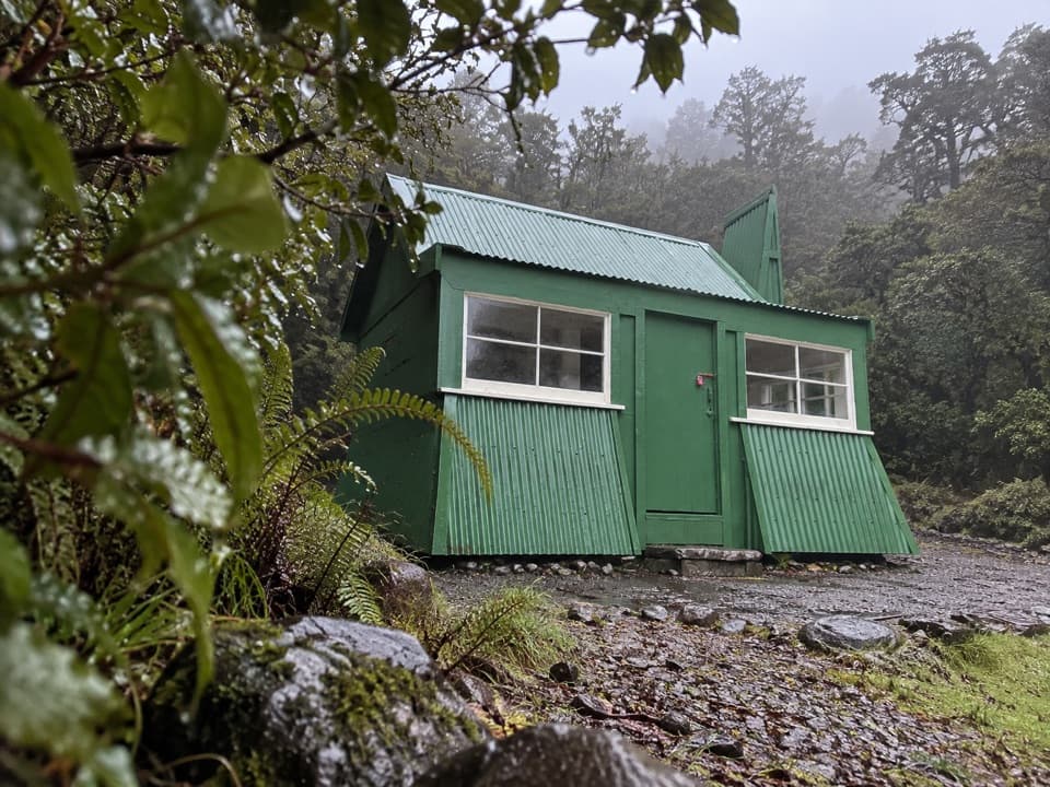
Waimakariri Falls Hut

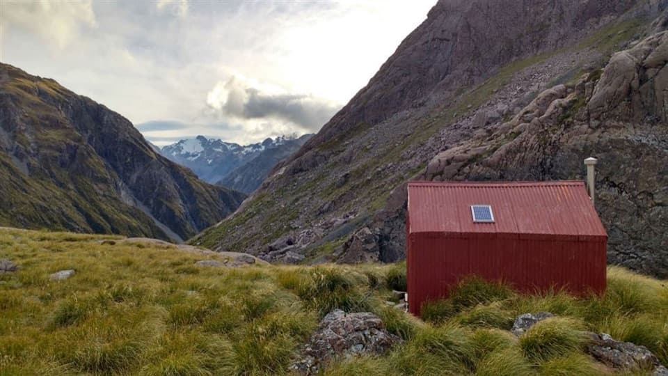
A six-bunk hut above the gorge, for serious alpine trampers.

Photo: CC BY 2.0

Overview

About Waimakariri Falls Hut

Why stop

  • A dramatic overnight setting directly above Waimakariri Falls.

Heads up

  • Access is a rough alpine route with river and avalanche hazards.

Map

Where it is

Loading the Arthur's Pass map
Full map
LodgingWaimakariri Falls Hut-42.91787, 171.48783
Keep this map with you offline in the Parkwolf app

Plan your stop

Before you go

Getting there is the commitment

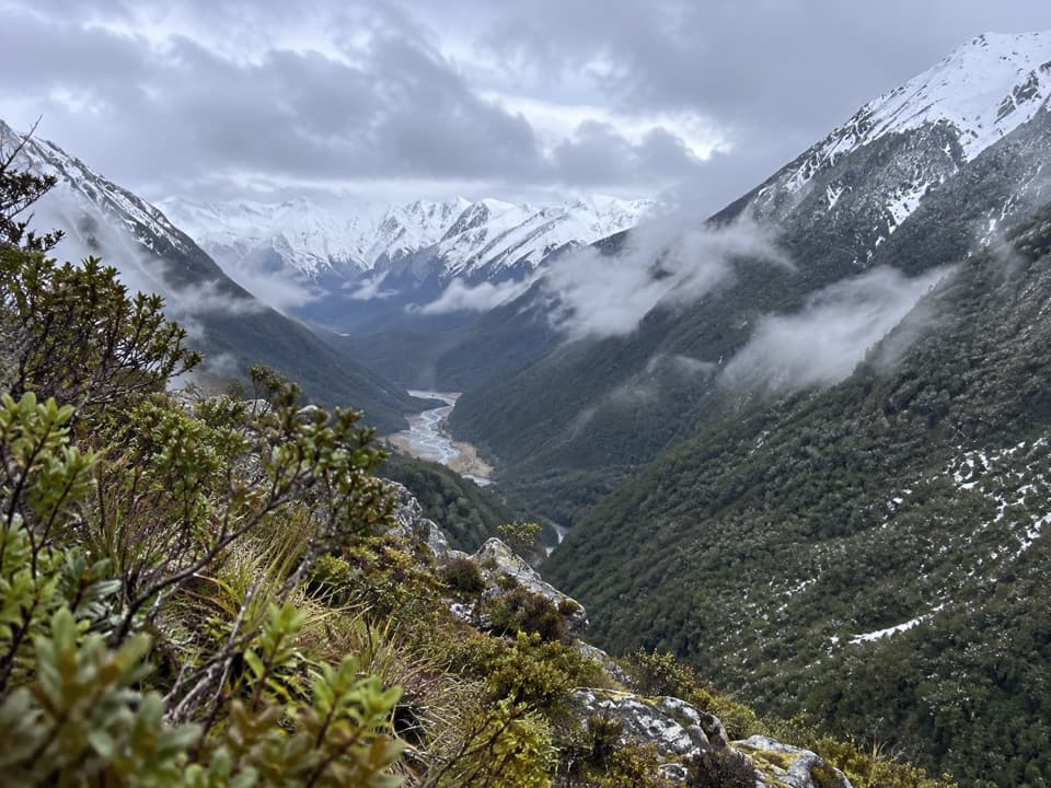
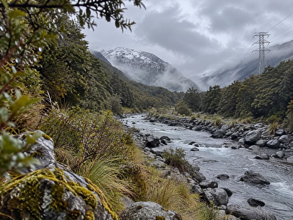
The approach runs from Klondyke Corner via Carrington Hut, with river crossings, rough and sometimes washed-out tracks, route-finding, and a climb to the hut. It's a long alpine leg, and high water can make sections beside the river impassable. The hut is in known avalanche paths. Do not use it during high-risk avalanche periods, and check the Arthur's Pass avalanche forecast and current river conditions before you head in.

2 active Arthur's Pass alerts

  • CautionFlood damage and rockfall risk on Harper Pass RouteFlood damage and an active slip affect the Harper Pass Route below Kiwi Hut and near Locke Stream Hut.Official details
  • CautionFlood damage on route to Sudden Valley BivvySignificant flood damage makes the route to Sudden Valley Bivvy passable only when rivers are low.Official details
Arthur's Pass alerts
A park ranger sits on a dash-mounted phone, talking, as Parkwolf’s Tour Guide plays “Army Cutworm Moths: A Grizzly Bear Buffet” on Grand Loop Road below Dunraven Pass in Yellowstone
Parkwolf Tour GuideThe highest, rockiest slopes around here are a summer buffet for grizzly bears.

Arthur's Pass Tour Guide

Your drive to Waimakariri Falls Hut, narrated.

Parkwolf is a GPS audio tour guide for Arthur's Pass National Park. As you drive, it chimes in with what’s ahead: hidden gems, upcoming stops, history, geology, and wildlife, right through your car’s speakers.

More stories near here in the app

  • Jacks Hut and Bealey Chasm
  • Temple Basin and Dobson Nature Walk
  • Ōtira Valley Track
  • Devils Punchbowl Falls
  • 42 audio storiesacross Arthur's Pass’s roads, triggered by GPS as you drive
  • Wildlife heatmapsfor Kea, New Zealand Falcon, Blue Duck, and 13 more
  • Works offlinemaps, 49 trails, 59 places, and audio download before you lose signal
  • CarPlay readysimple controls built for the drive
★★★★★
“Fantastic app with many points of information… It’s great to just turn on while you’re driving and it gives you an audio tour of the national Park. We love it!!!!”
JMJamesApp Store review
Download Parkwolf on the App StoreGet Parkwolf on Google Play

4.7 from 8,600+ ratings

Guide

More about Waimakariri Falls Hut

A high-country overnightWaimakariri Falls Hut is a basic six-bunk backcountry hut at about 1,300 m in the upper…

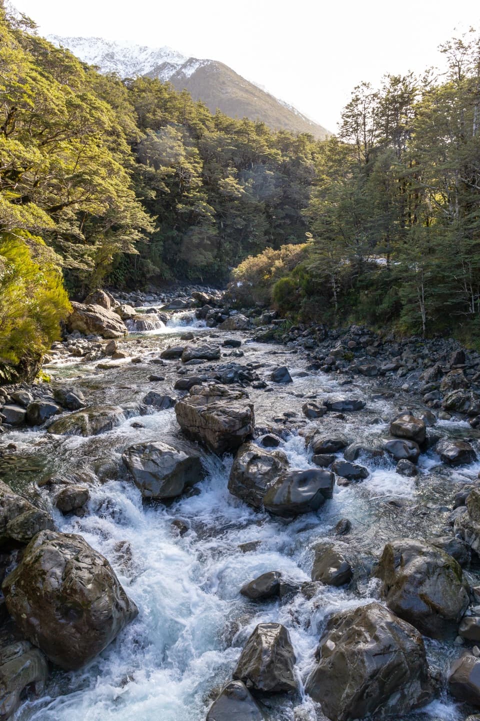
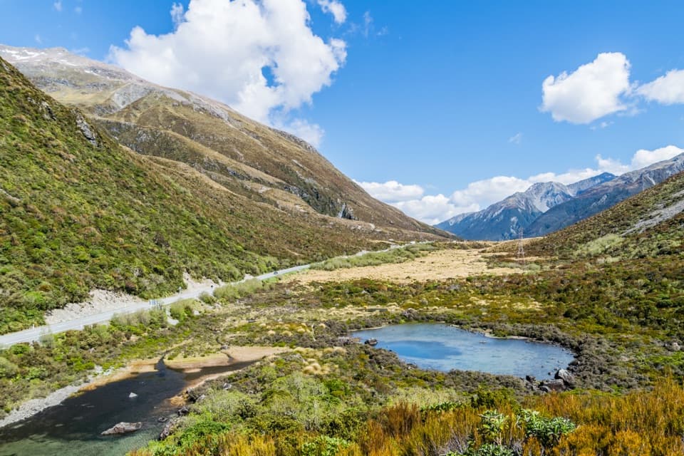
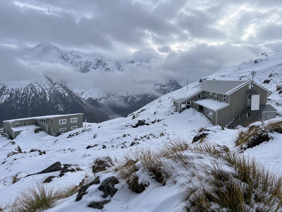
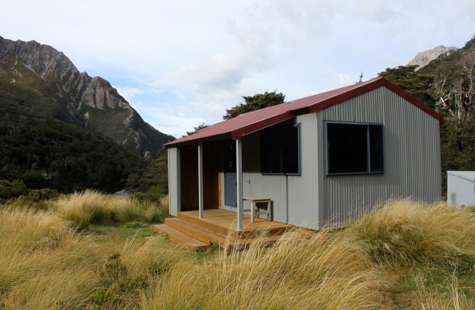
Waimakariri Falls Hut is a basic six-bunk backcountry hut at about 1,300 m in the upper Waimakariri basin, perched above Waimakariri Falls. It suits experienced trampers and climbers planning a remote alpine stay, not a quick stop at the waterfall. The hut sits in an alpine meadow below steep red cliffs, with the river gorge just beneath it.

What the hut providesThere are six bunks with foam mattresses, a rainwater tank, solar lighting, and an outside…

There are six bunks with foam mattresses, a rainwater tank, solar lighting, and an outside long-drop toilet. The beds are not bookable and are first come, first served, so a place to sleep is not guaranteed. A rainwater tank is available, but confirm whether the water is treated before drinking. This is a basic self-catering hut.

Above the fallsA swing bridge spans the gorge just below the hut.

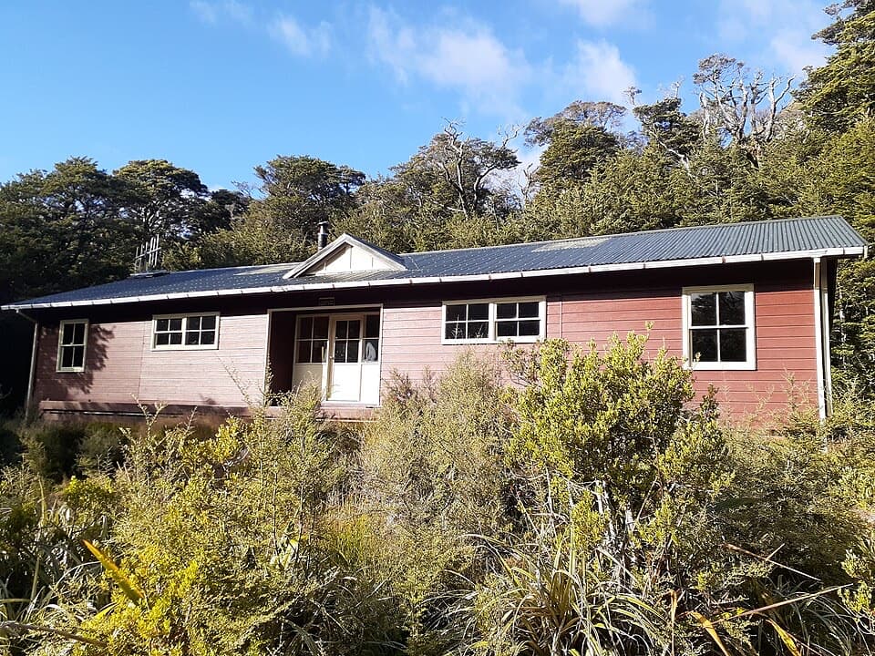
A swing bridge spans the gorge just below the hut. The current hut was built in 1963 to replace an earlier bivouac built in 1944, and was refurbished in 2005. The upper basin also serves as a base for serious climbs, including nearby Carrington Peak and Mount Rolleston.

Wildlife

Wildlife in Arthur's Pass

All Arthur's Pass wildlife maps

Sighting maps show where each species has been reported across Arthur's Pass. Wildlife moves, so no sighting is guaranteed.

Keep exploring

Near Waimakariri Falls Hut

See it all on the map

Trails nearby

More stops nearby

Parkwolf’s Arthur's Pass ranking

Top sights in Arthur's Pass

All 59 places
  1. 1Devils Punchbowl FallsSight
  2. 2Ōtira Viaduct LookoutSight
  3. 3Avalanche PeakSight
  4. 4Jacks HutSight
  5. 5Arthur’s Pass ChapelSight
  6. 6Ōtira Gorge Rock Shelter LookoutSight

Take Parkwolf to Arthur's Pass.

The audio tour guide for the drive, plus offline maps, trails, and wildlife heatmaps for when the signal drops.

4.7 from 8,600+ ratings

Download Parkwolf on the App StoreGet Parkwolf on Google Play