
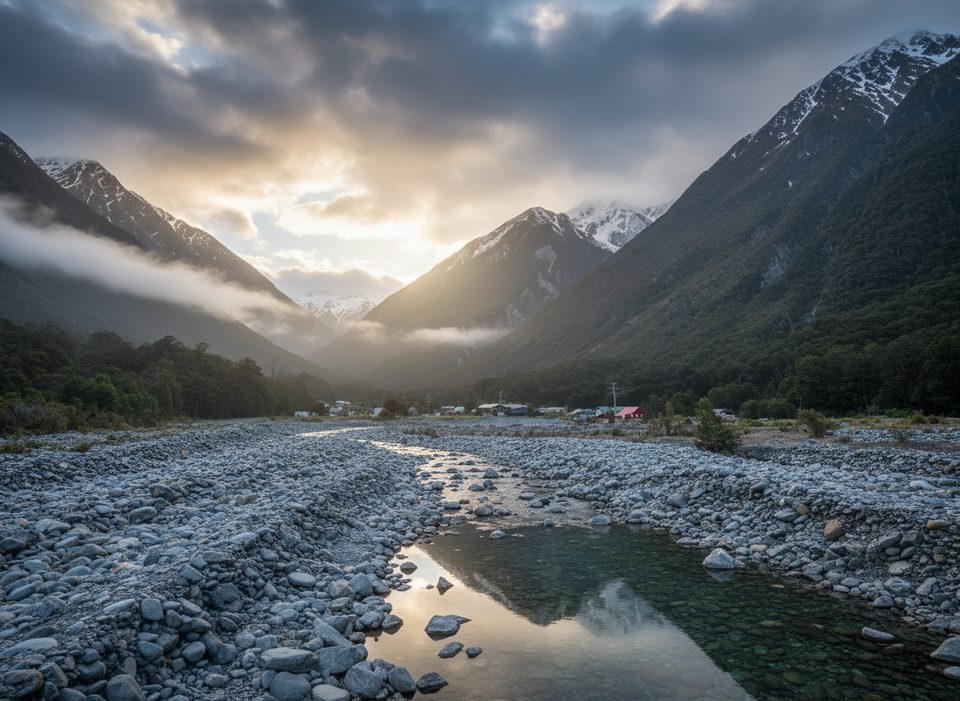
Place · 0.1 mi away
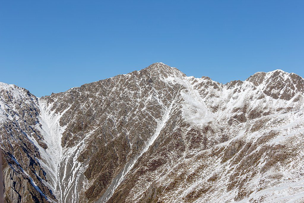
Mount Bealey (1,836 m) rises directly west of the village and delivers fast access to alpine country. The marked track climbs hard through beech forest to the bushline, where views open over Rough Creek and the surrounding ranges. The mountain is named for Samuel Bealey, Canterbury’s third Superintendent.
From the summit, a committing ridge traverse leads toward Lyell Peak and Avalanche Peak. The first kilometre off Mount Bealey is the crux—jagged “teeth,” loose rock, and real exposure. Many sidle into the western basin on scree to bypass the worst knobs, rejoining the ridge near Pt 1778. Beyond there, the ridge broadens and eventually meets the poled Avalanche Peak route for descent. Allow 2–3 hours from Bealey’s summit to Avalanche Peak in good conditions, and expect a very big day if doing the full link-up.
Above the bushline there are no markers—strong route-finding, map/compass/GPS skills, and a cool head on loose, steep terrain are essential. Slips could be serious. Carry warm and waterproof layers, spare food, a headlamp with extra batteries, an emergency shelter, and a personal locator beacon. In winter or when snow lingers, you’ll need ice axe and crampons, plus avalanche transceiver, probe, and shovel—and the know‑how to use them. There are no reliable water sources on the ridge.
Trailhead parking is at the end of Mount Bealey Road; it’s small. There are no toilets at the start or on the track—sort logistics in the village. Follow orange markers to the bushline and ignore other coloured trapline markers used for predator control.
You’ll notice traplines in the area—part of ongoing predator control and species recovery work around the Bealey Valley. Respect all devices and give wildlife space.
Pick a calm, clear day—summer and early autumn offer the most reliable conditions. Start early if you’re aiming for the summit or the traverse; in poor visibility or strong winds, turn back at the bushline. Winter and spring are serious alpine seasons here and demand full kit, skills, and avalanche awareness.
If you want a demanding, close-to-town hit of true alpine terrain, Mount Bealey is a gem. If you’re unsure about unmarked ridges and exposure, enjoy the excellent bushline views and save the upper mountain for a better day or more experience.
Place · 0.1 mi away
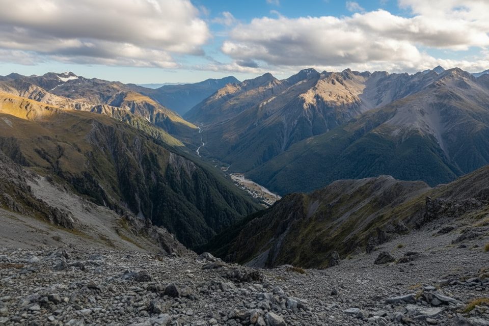
Place · 0.1 mi away
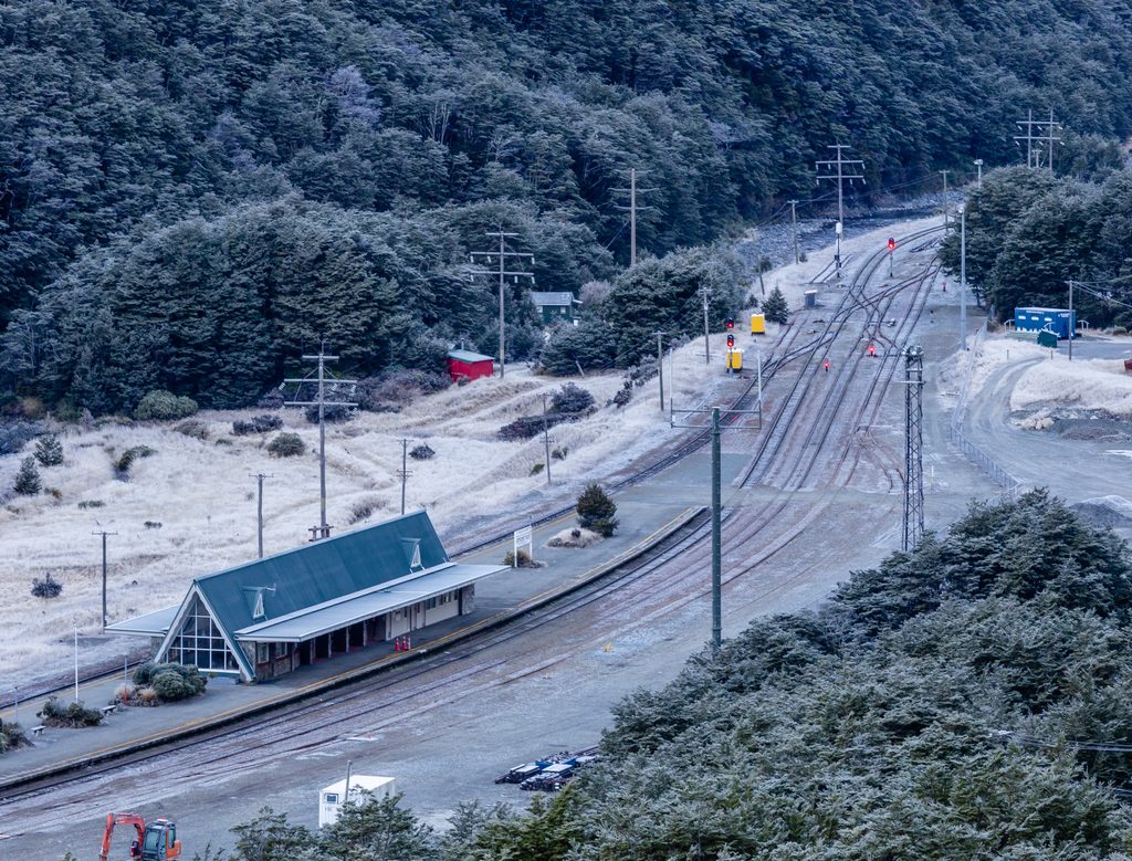
Place · 0.3 mi away
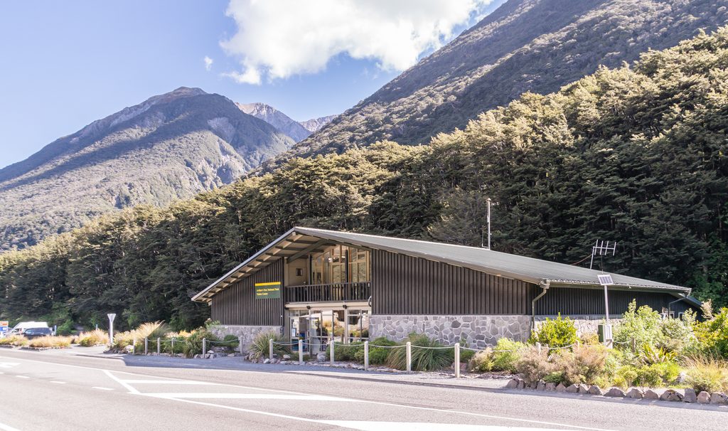
Place · 0.5 mi away
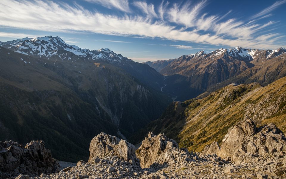
Challenging · 0 mi away
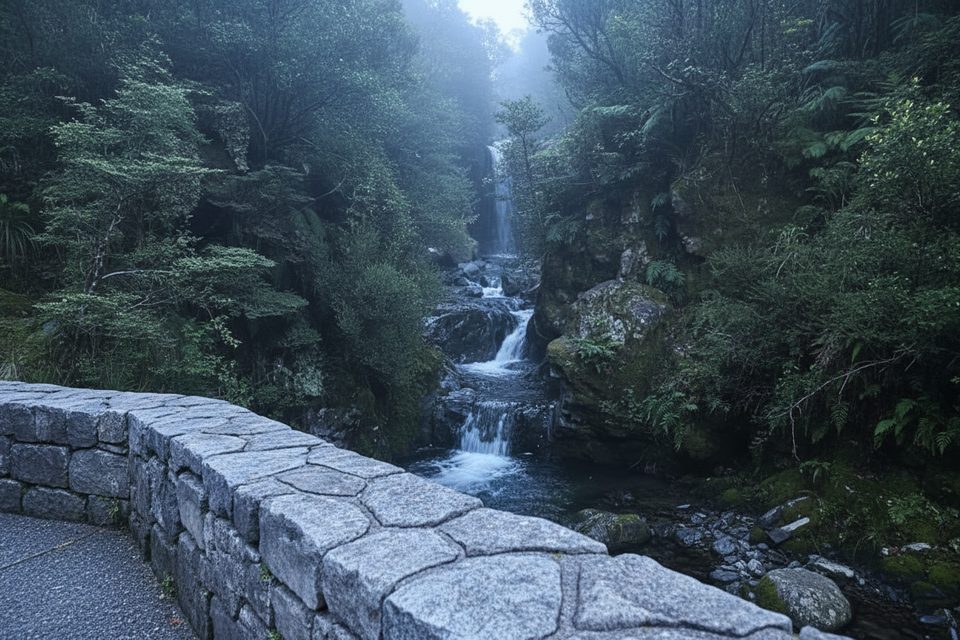
Easy · 0.5 mi away
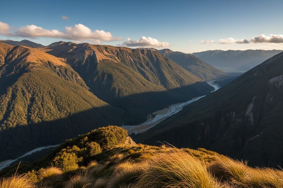
Challenging · 0.6 mi away
Easy · 1.1 mi away

Parkwolf Tour Guide
